Mundford Covert

Wood, Forest in Norfolk Breckland

England

Mundford Covert

Access track to Grime's Graves This is the track which gives access to the English Heritage of Grime's Grave.
Access track to Grime's Graves Credit: Philip Halling

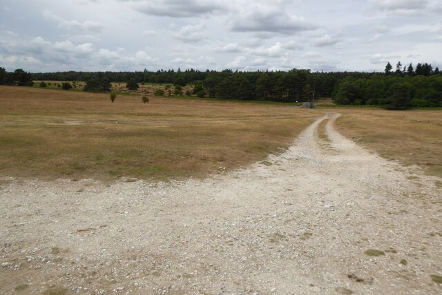
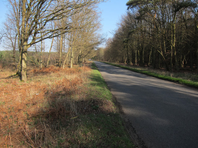
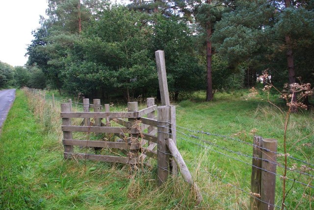
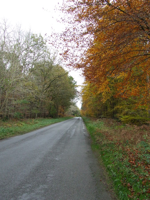
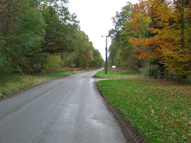
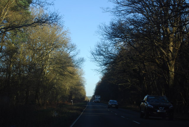
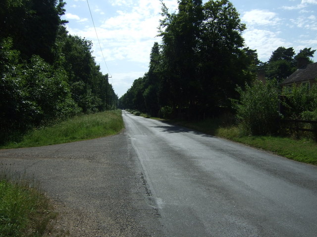
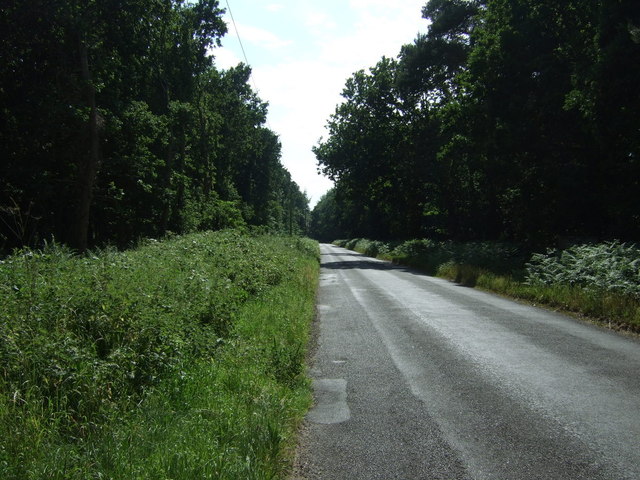
Mundford Covert is a picturesque woodland located in the county of Norfolk, England. Covering an area of approximately 250 acres, it is one of the largest woodlands in the region. The covert is situated near the village of Mundford, surrounded by the stunning Norfolk countryside.

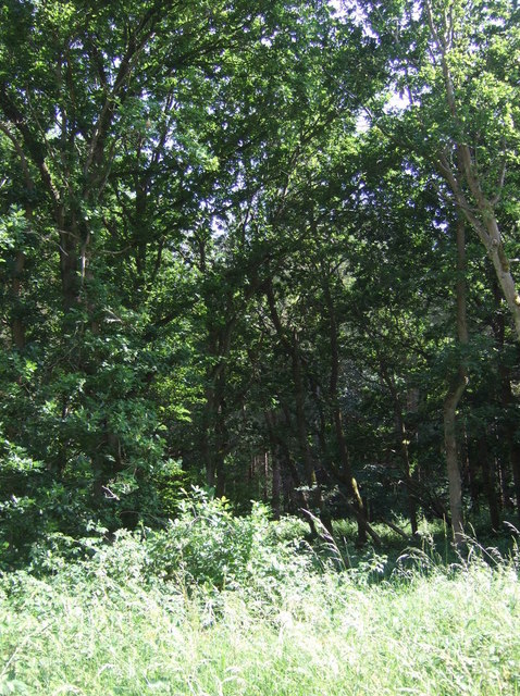
The woodland is primarily composed of mixed deciduous trees, including oak, ash, birch, and beech. These trees create a dense canopy that provides shade and shelter for a variety of flora and fauna. Wildflowers such as bluebells, primroses, and wood anemones can be found carpeting the forest floor during the spring months, creating a vibrant and colorful spectacle.

Mundford Covert is home to a diverse range of wildlife. The dense vegetation and numerous trees offer an ideal habitat for birds, including woodpeckers, nightingales, and tawny owls. Mammals such as deer, foxes, and badgers can also be spotted within the woodland, along with a variety of smaller creatures such as squirrels, rabbits, and hedgehogs.

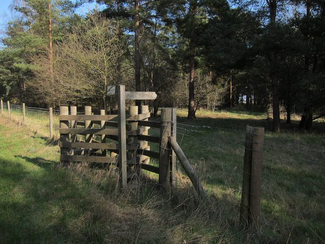
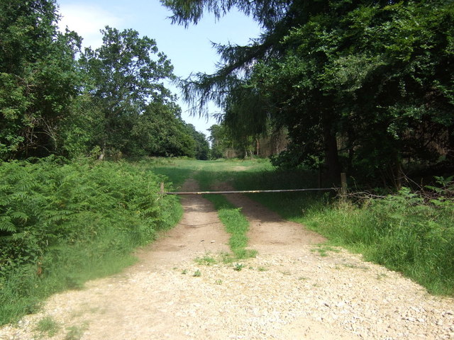
The woodland is a popular destination for nature lovers and outdoor enthusiasts. It offers numerous walking trails and paths that allow visitors to explore its natural beauty. The peaceful surroundings make it an ideal spot for birdwatching, photography, and simply enjoying the tranquility of nature.

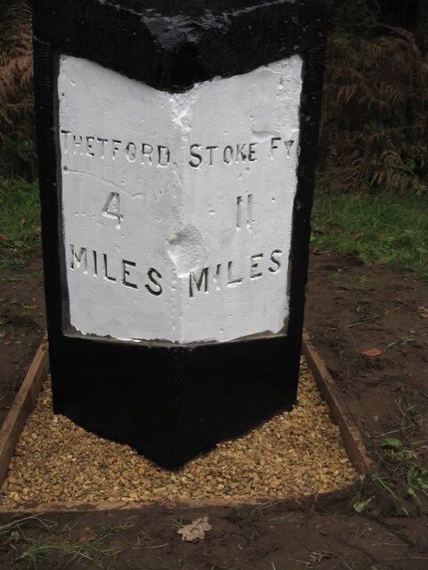
Mundford Covert is also steeped in history, with archaeological evidence suggesting human activity in the area dating back to the Stone Age. The woodland has been managed and preserved by local authorities to ensure its natural beauty and historical significance are preserved for future generations to enjoy.

If you have any feedback on the listing, please let us know in the comments section below.

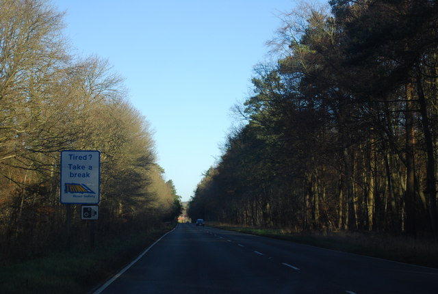
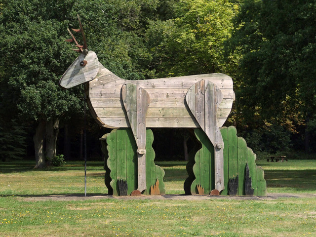
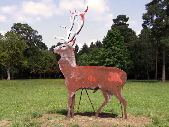
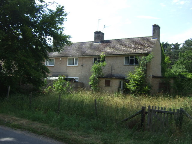
Mundford Covert Images

Images are sourced within 2km of 52.489227/0.64980989 or Grid Reference TL8091. Thanks to Geograph Open Source API. All images are credited.

Access track to Grime's Graves This is the track which gives access to the English Heritage of Grime's Grave.
Access track to Grime's Graves
This is the track which gives access to the English Heritage of Grime's Grave.
Old Milestone by the A134, north of Lynford Carved stone post by the A134, in parish of Lynford (Breckland District), West Tofts Heath, on the verge, on East side of road. Erected by the Bury St Edmunds to Cranwich turnpike trust in the 19th century. An earlier photograph can be found here <a title="https://www.geograph.org.uk/photo/6035325" href="https://www.geograph.org.uk/photo/6035325">Link</a>.

Inscription reads:-
: THETFORD / 4 / MILES : : STOKE FY / 11 / MILES :
Carved benchmark on top.

Norfolk HER listed. NHER Number: 56804 <span class="nowrap"><a title="https://www.heritagegateway.org.uk/Gateway/Results_Single.aspx?uid=MNF63218&resourceID=1002" rel="nofollow ugc noopener" href="https://www.heritagegateway.org.uk/Gateway/Results_Single.aspx?uid=MNF63218&resourceID=1002">Link</a><img style="margin-left:2px;" alt="External link" title="External link - shift click to open in new window" src="https://s1.geograph.org.uk/img/external.png" width="10" height="10"/></span>

Milestone Society National ID: NO_SFT11
Old Milestone by the A134, north of Lynford
Carved stone post by the A134, in parish of Lynford (Breckland District), West Tofts Heath, on the verge, on East side of road. Erected by the Bury St Edmunds to Cranwich turnpike trust in the 19th century. An earlier photograph can be found here Link. Inscription reads:- : THETFORD / 4 / MILES : : STOKE FY / 11 / MILES : Carved benchmark on top. Norfolk HER listed. NHER Number: 56804 LinkExternal link Milestone Society National ID: NO_SFT11
A path through an avenue of Lime Trees in Lynford Stag Picnic Area
Arable field within Thetford Forest Small pocket of farmland within the woodland.
Arable field within Thetford Forest
Small pocket of farmland within the woodland.
Footpath into danger area Oddly, no signs here about the danger area, though there are elsewhere.
Footpath into danger area
Oddly, no signs here about the danger area, though there are elsewhere.
Road to Grime's Graves
Fingerless post Since <a href="https://www.geograph.org.uk/photo/2856847">TL8090 : Footpath into danger area</a> only a few months ago, the finger has fallen off this fingerpost at the end of Weeting-with-Broomhill footpath number 8.
Fingerless post
Since TL8090 : Footpath into danger area only a few months ago, the finger has fallen off this fingerpost at the end of Weeting-with-Broomhill footpath number 8.
Country Road Country road with autumn colours near to Lynford, Norfolk.
Country Road
Country road with autumn colours near to Lynford, Norfolk.
Entrance To Grime's Graves Entrance to Grime's Graves on the right seen near to Lynford, Norfolk.
Entrance To Grime's Graves
Entrance to Grime's Graves on the right seen near to Lynford, Norfolk.
A1065, northbound The A1065 is an important route through the centre of Norfolk. It starts on the infamous Five Ways roundabout at Barton Mills, leaving the A11, and heads up through countryside for nearly 40 miles, crossing the A47 at Swaffham en route, until it ends on the A148 just outside Fakenham.
A1065, northbound
The A1065 is an important route through the centre of Norfolk. It starts on the infamous Five Ways roundabout at Barton Mills, leaving the A11, and heads up through countryside for nearly 40 miles, crossing the A47 at Swaffham en route, until it ends on the A148 just outside Fakenham.
A1065, northbound
A1065, northbound
Giant Wooden Stag A children's climbing frame in the shape of a 12ft giant stag at Lynford Stag picnic site.
Giant Wooden Stag
A children's climbing frame in the shape of a 12ft giant stag at Lynford Stag picnic site.
The Lynford Stag This metal imitation 'target stag' is at the entrance to Lynford Stag picnic site. It was found by Forestry Commission workers when the area was being planted. It belonged to the former owner of Lynford Hall, Sir Richard Sutton, Master of the Hunt and bears the scars of its former role.
The Lynford Stag
This metal imitation 'target stag' is at the entrance to Lynford Stag picnic site. It was found by Forestry Commission workers when the area was being planted. It belonged to the former owner of Lynford Hall, Sir Richard Sutton, Master of the Hunt and bears the scars of its former role.
Houses in Lynford
Houses in Lynford
Minor road, Lynford Looking south west.
Minor road, Lynford
Looking south west.
Woodland near Lynford
Heading south west from Lynford
Track into woodland Looking east from the A1065, south of Mundford.
Track into woodland
Looking east from the A1065, south of Mundford.
Show me another place!

Mundford Covert is located at Grid Ref: TL8091 (Lat: 52.489227, Lng: 0.64980989)

Administrative County: Norfolk

District: Breckland

Police Authority: Norfolk

What 3 Words

///libraries.respect.estuaries. Near Mundford, Norfolk

Related Wikis

Weeting-with-Broomhill

Weeting-with-Broomhill is a civil parish in the English county of Norfolk. It covers an area of 25.16 km2 (9.71 sq mi) and had a population of 1,751 in...

Thetford Rural District

Thetford Rural District was a rural district in Norfolk, England from 1894 to 1935. It was formed under the Local Government Act 1894 based on the Thetford...

Lynford

Lynford is a village and civil parish in the Breckland District of Norfolk. The parish covers an area of 24.72 km2 (9.54 sq mi), and the 2001 Census recorded...

Mundford

Mundford is a village and civil parish in the English county of Norfolk. It is situated at the intersection of two major routes, the A134 Colchester to...

Nearby Amenities

Located within 500m of 52.489227,0.64980989
Fixme: incomplete
Lat/Long: 52.4907573/0.6521523
Communication Mobile Phone: yes
Man Made: mast
Material: metal
Operator: Three UK;EE
Tower Construction: lattice
Tower Type: communication
Lat/Long: 52.4878551/0.6506757
The data included in this document is from www.openstreetmap.org. The data is made available under ODbL.

Have you been to Mundford Covert?

Leave your review of Mundford Covert below (or comments, questions and feedback).