Big Wood
Wood, Forest in Norfolk Breckland
England
Big Wood
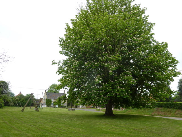
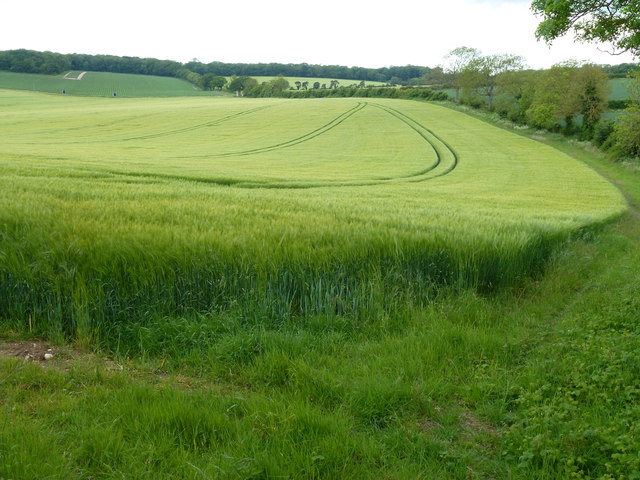
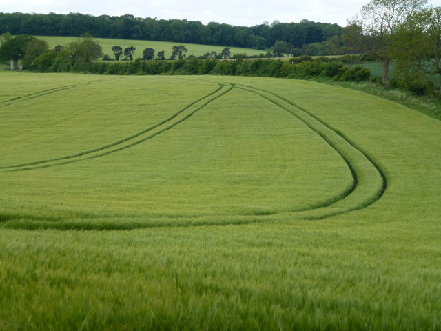
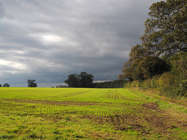
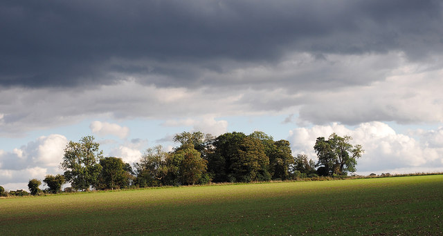
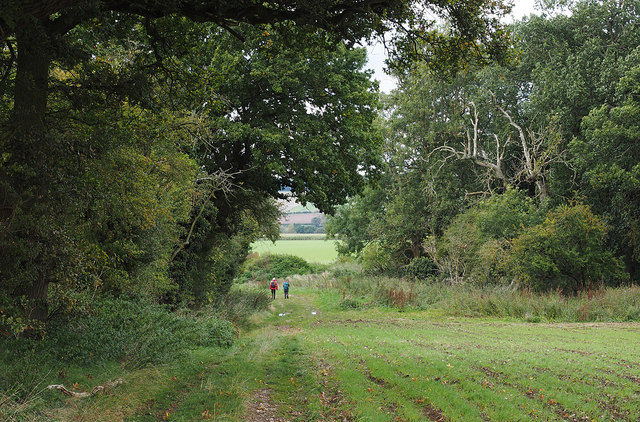
Big Wood is a large forested area located in the county of Norfolk, England. It spans an area of approximately 500 acres and is situated near the village of Wood, about 10 miles northeast of Norwich. The woodland is characterized by a diverse range of tree species, including oak, beech, birch, and pine, creating a rich and varied habitat for wildlife.
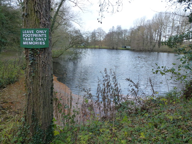
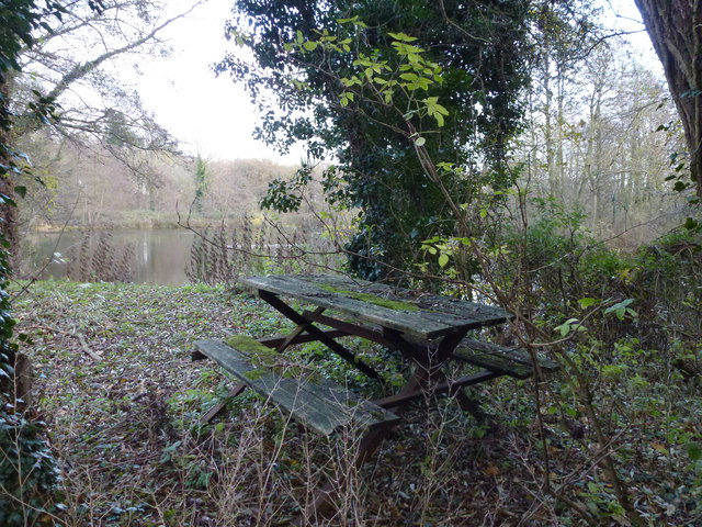
The forest is managed by the Norfolk Wildlife Trust and is open to the public, offering a tranquil and picturesque setting for nature enthusiasts and outdoor enthusiasts alike. Big Wood features a network of well-maintained footpaths and trails, allowing visitors to explore the area and enjoy its natural beauty. These paths wind through the trees, providing opportunities for walking, jogging, and cycling.
The wood is home to a wide variety of wildlife, making it an important conservation area. Deer, foxes, badgers, and numerous bird species can be spotted within its boundaries. The forest floor is also teeming with a diverse range of plants and fungi, adding to the biodiversity of the area.
Big Wood offers visitors a chance to escape the hustle and bustle of urban life and immerse themselves in a peaceful natural environment. The forest is a popular destination for families, dog walkers, and nature lovers seeking a retreat into the countryside. Whether it's exploring the woodlands, observing wildlife, or simply enjoying a picnic amidst the trees, Big Wood provides a serene and refreshing experience for all who visit.
If you have any feedback on the listing, please let us know in the comments section below.
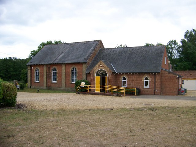
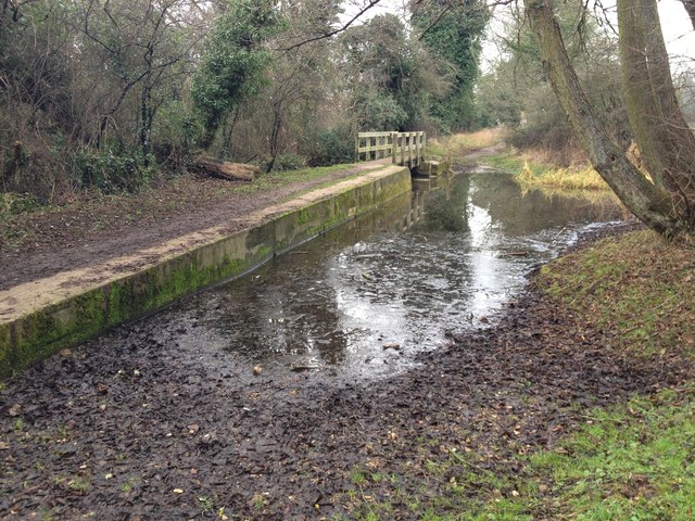
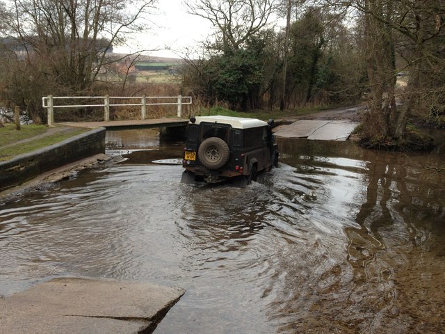
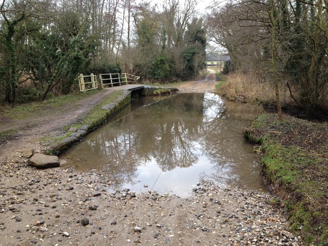
Big Wood Images
Images are sourced within 2km of 52.701795/0.65907605 or Grid Reference TF7914. Thanks to Geograph Open Source API. All images are credited.

Big Wood is located at Grid Ref: TF7914 (Lat: 52.701795, Lng: 0.65907605)
Administrative County: Norfolk
District: Breckland
Police Authority: Norfolk
What 3 Words
///appendix.newlyweds.pins. Near Narborough, Norfolk
Nearby Locations
Related Wikis

Castle Acre Common
Castle Acre Common is a 17.8-hectare (44-acre) biological Site of Special Scientific Interest east of King's Lynn in Norfolk.This unimproved grazing marsh...

South Acre
South Acre is a village and civil parish in the English county of Norfolk. The village has almost disappeared, but the remnants are located about 1 km...

Castle Acre Priory
Castle Acre Priory was a Cluniac priory in the village of Castle Acre, Norfolk, England, dedicated to St Mary, St Peter, and St Paul. It is thought to...

West Acre Priory
West Acre Priory of St. Mary and All Saints was a medieval monastic house at West Acre in the King's Lynn and West Norfolk district of Norfolk, England...

West Acre
West Acre is a village and civil parish in the King's Lynn and West Norfolk district of the county of Norfolk, England. It covers an area of 14.49 km2...

Castle Acre
Castle Acre is a village and civil parish in the English county of Norfolk. The village is situated on the River Nar some 4 miles (6.4 km) north of the...
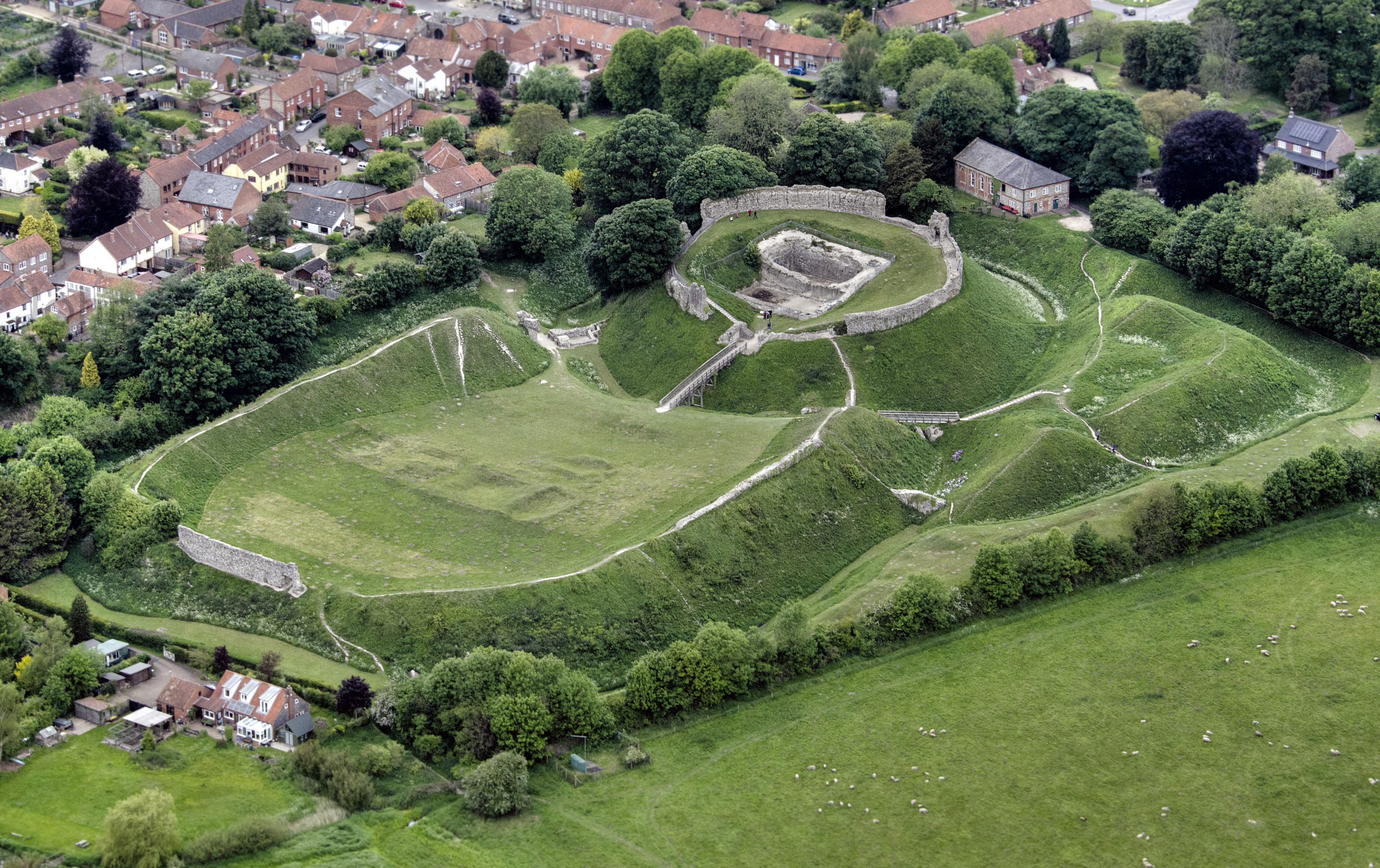
Castle Acre Castle and town walls
Castle Acre Castle and town walls are a set of ruined medieval defences built in the village of Castle Acre, Norfolk. The castle was built soon after the...

Peddars Way
The Peddars Way is a long distance footpath that passes through Suffolk and Norfolk, England. == Route == The Peddars Way is 46 miles (74 km) long and...
Nearby Amenities
Located within 500m of 52.701795,0.65907605Have you been to Big Wood?
Leave your review of Big Wood below (or comments, questions and feedback).