Reed's Wood

Wood, Forest in Sussex Rother

England

Reed's Wood

Park View Road, off Cottage Lane, Westfield
Park View Road, off Cottage Lane, Westfield Credit: Patrick Roper

Reed's Wood is a picturesque forest located in the county of Sussex, England. Covering an extensive area of land, the wood is known for its diverse range of flora and fauna, making it a popular destination for nature enthusiasts and hikers alike.

The wood is characterized by its dense canopies of mature trees, predominantly consisting of oak, beech, and birch. These towering trees create a serene and tranquil atmosphere, providing a perfect escape from the hustle and bustle of nearby towns and cities.

Within Reed's Wood, there are several well-marked trails that guide visitors through its enchanting landscape. These paths offer opportunities for leisurely walks, jogging, or even more challenging hikes for those seeking a more adventurous experience. Along the trails, visitors are likely to encounter a variety of wildlife, including deer, squirrels, and a plethora of bird species.

One of the highlights of Reed's Wood is its vibrant display of wildflowers during the spring and summer months. The forest floor becomes a tapestry of colors, as bluebells, primroses, and foxgloves bloom in abundance.

Reed's Wood also holds historical significance, with remnants of ancient settlements and burial mounds scattered throughout the area. Archaeological enthusiasts can explore these sites and marvel at the ancient relics that offer glimpses into the region's rich history.

Overall, Reed's Wood is a haven for nature lovers, offering a serene environment, diverse wildlife, and a chance to immerse oneself in the beauty of Sussex's natural landscape.

If you have any feedback on the listing, please let us know in the comments section below.
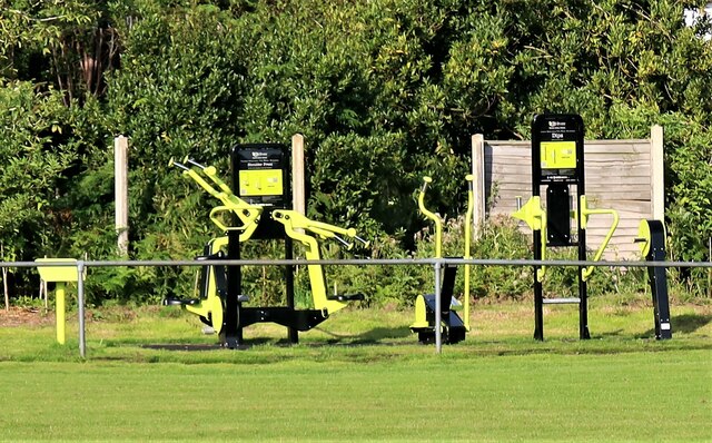
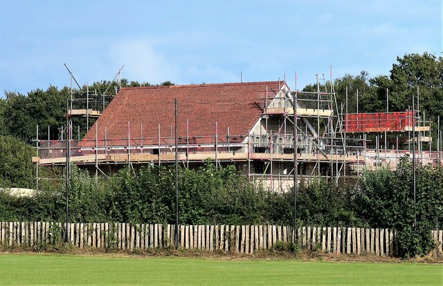
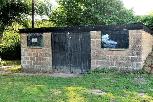
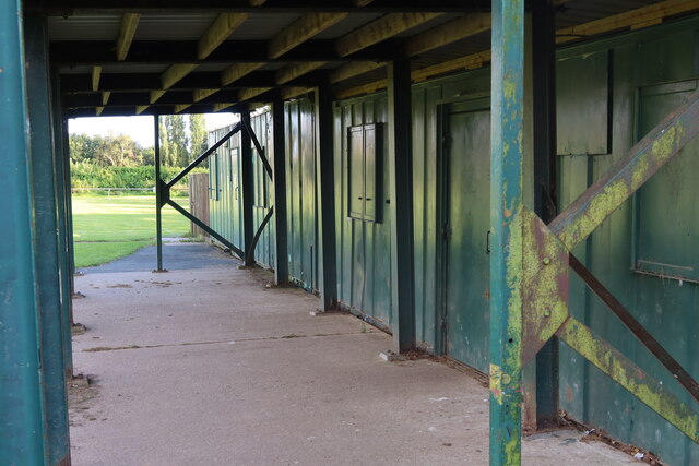
Reed's Wood Images

Images are sourced within 2km of 50.91082/0.55532305 or Grid Reference TQ7915. Thanks to Geograph Open Source API. All images are credited.

Park View Road, off Cottage Lane, Westfield
Sign for Westfield Community Fibre Project, Westfield A parish council sign by Cottage Lane, Westfield, encouraging people to pledge to subscribe to ultra fast broadband fibre connection.
Sign for Westfield Community Fibre Project, Westfield
A parish council sign by Cottage Lane, Westfield, encouraging people to pledge to subscribe to ultra fast broadband fibre connection.
Sign at entrance to path leading to Parish Field, Westfield This is situated where the footpath to the sports facility joins Cottage lane, Westfield
Sign at entrance to path leading to Parish Field, Westfield
This is situated where the footpath to the sports facility joins Cottage lane, Westfield
Entrance to path to Westfield Parish Field A public footpath from Cottage Lane to the Parish Field
Entrance to path to Westfield Parish Field
A public footpath from Cottage Lane to the Parish Field
Footpath to Westfield Parish Field This runs from Cottage Lane in Westfield to the Parish Field recreation ground.
Footpath to Westfield Parish Field
This runs from Cottage Lane in Westfield to the Parish Field recreation ground.
Exercise apparatus in Westfield Parish Field This set of exercise apparatus is for public use in the Parish Field.
Exercise apparatus in Westfield Parish Field
This set of exercise apparatus is for public use in the Parish Field.
House in Westfield village This house by the A28, seen from across the Village Field sports facility, has the unusual name of "Further Down".
House in Westfield village
This house by the A28, seen from across the Village Field sports facility, has the unusual name of "Further Down".
House construction in Westfield village A newly developed site beside the A28 seen from the Westfield Sports Field.
House construction in Westfield village
A newly developed site beside the A28 seen from the Westfield Sports Field.
Building in western corner of Parish Field, Westfield
Sports pavilion at Westfield Sports Field
Covid-19 precautionary sign on Sports Field railing, Westfield An injunction to sports spectators to keep one metre apart during the Covid-19 Coronavirus pandemic.
Covid-19 precautionary sign on Sports Field railing, Westfield
An injunction to sports spectators to keep one metre apart during the Covid-19 Coronavirus pandemic.
Westfield Football Club facilities at Westfield Parish Field Westfield Football Club was established before World War I. They joined the Sussex County Football League Division Three in 1997. They are currently members of the Mid-Sussex League Premier Division
Westfield Football Club facilities at Westfield Parish Field
Westfield Football Club was established before World War I. They joined the Sussex County Football League Division Three in 1997. They are currently members of the Mid-Sussex League Premier Division
House frontages in Cottage Lane, Westfield The door on the left bears the figure 2.  However it is some way north of the start of Cottage Lane which has many houses bordering it.  The number may refer to Fernlea Close which runs from Cottage Lane immediately north of these houses
House frontages in Cottage Lane, Westfield
The door on the left bears the figure 2. However it is some way north of the start of Cottage Lane which has many houses bordering it. The number may refer to Fernlea Close which runs from Cottage Lane immediately north of these houses
Fernlea Close, Westfield A cul-de-sac off Cottage Lane.
Fernlea Close, Westfield
A cul-de-sac off Cottage Lane.
Sign at eentrance to New Cut off Cottage Lane, Westfield The New Cut, a kind of suburban estate and with many modern houses, is not, in fact, new.  Houses (the Blue Barracks) were there in 1813 and the name appeared on maps a few years later.
Sign at eentrance to New Cut off Cottage Lane, Westfield
The New Cut, a kind of suburban estate and with many modern houses, is not, in fact, new. Houses (the Blue Barracks) were there in 1813 and the name appeared on maps a few years later.
Front garden of Trefel, New Cut, Westfield The tree towards the left of the picture is a weeping willow.  The name 'Trefel' might be a Welsh, Cornish of Breton place name or family name.
Front garden of Trefel, New Cut, Westfield
The tree towards the left of the picture is a weeping willow. The name 'Trefel' might be a Welsh, Cornish of Breton place name or family name.
Road frontage of Corntops, New Cut, Westfield
Road signs in New Cut, Westfield SV stands for Stop Valve and H for Hydrant.
Road signs in New Cut, Westfield
SV stands for Stop Valve and H for Hydrant.
Show me another place!

Reed's Wood is located at Grid Ref: TQ7915 (Lat: 50.91082, Lng: 0.55532305)

Administrative County: East Sussex

District: Rother

Police Authority: Sussex

What 3 Words

///herbs.overnight.quit. Near Battle, East Sussex

Related Wikis

Westfield, East Sussex

Westfield is a village and civil parish in the Rother district of East Sussex. It is one of the largest villages in the area with a population of around...

Beauport Park

Beauport Park is a house near Hastings, East Sussex, England. It is located at the western end of the ridge of hills sheltering Hastings from the north...

Baldslow

Baldslow is a suburb in the north of Hastings, East Sussex, England. It is sometimes considered part of Conquest as Bohemia and Silverhill. The area lies...

Hemingfold Meadow

Hemingfold Meadow is a 4.9-hectare (12-acre) biological Site of Special Scientific Interest west of Battle in East Sussex.This site consists of two adjacent...

Maplehurst Wood

Maplehurst Wood is a 31.6-hectare (78-acre) biological Site of Special Scientific Interest on the northern outskirts of Hastings in East Sussex.This wood...

Ark Helenswood Academy

Ark Helenswood Academy (formerly Hastings High School for Girls and then Helenswood School) was a secondary school and sixth form for girls located in...

Sedlescombe

Sedlescombe is a village and civil parish in the Rother district of East Sussex, England. The village is on the B2244 road, about 6 miles (10 km) north...

Brede Waterworks

Brede Waterworks (grid reference TQ 813 178) is a waterworks at Brede, East Sussex, England. It was built to supply Hastings with drinking water. The waterworks...

Nearby Amenities

Located within 500m of 50.91082,0.55532305
Footpath
Information: guidepost
Operator: East Sussex County Council
Tourism: information
Lat/Long: 50.9130014/0.5612576
The data included in this document is from www.openstreetmap.org. The data is made available under ODbL.

Have you been to Reed's Wood?

Leave your review of Reed's Wood below (or comments, questions and feedback).