Castle Acre Covert
Wood, Forest in Norfolk King's Lynn and West Norfolk
England
Castle Acre Covert
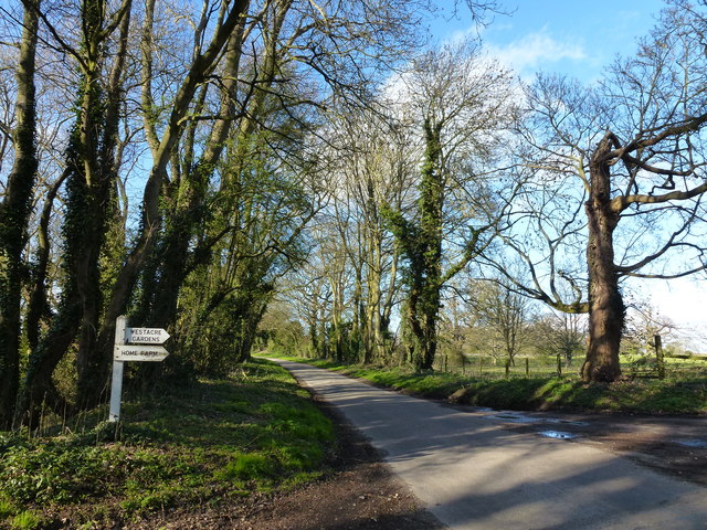
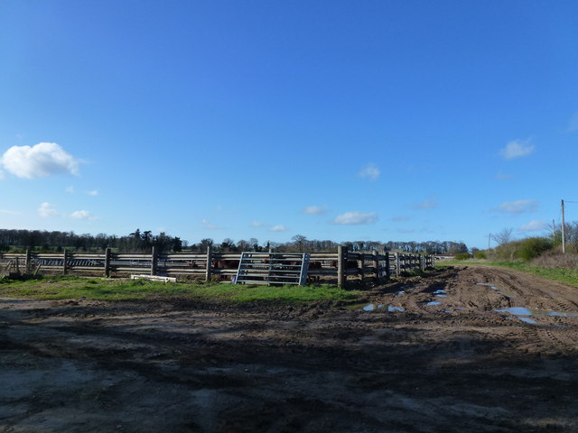
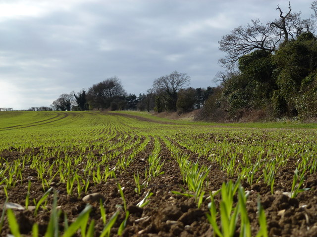
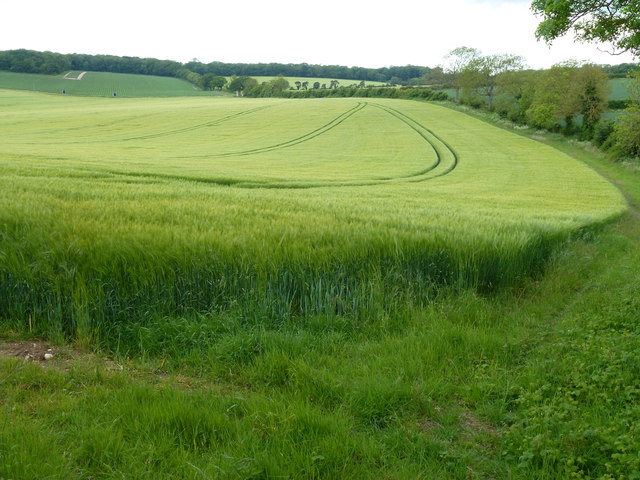
Castle Acre Covert is a woodland located in Norfolk, England. Situated near the village of Castle Acre, it covers an area of approximately 30 hectares. The covert is a designated local nature reserve and is owned and managed by the Norfolk Wildlife Trust.
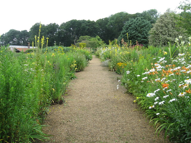
The woodland is primarily composed of broadleaf trees, including oak, birch, and beech, creating a diverse and lush canopy. The forest floor is covered with a variety of flora, such as bluebells, wood anemones, and wild garlic, which create a beautiful display during the spring season.
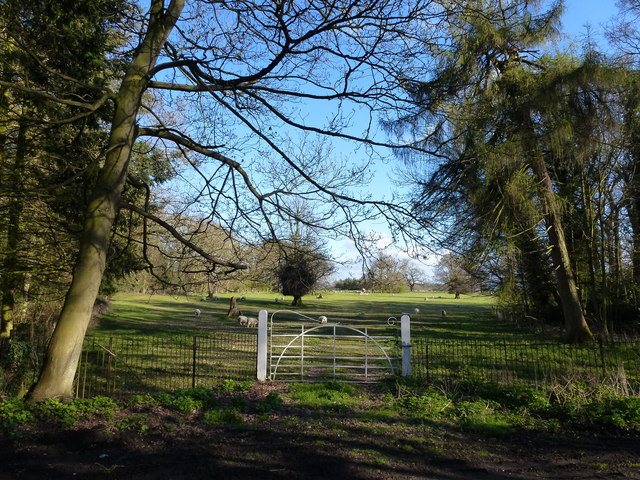
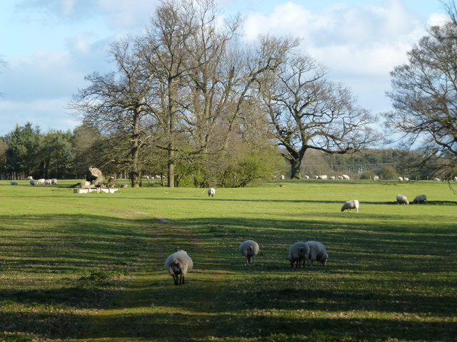
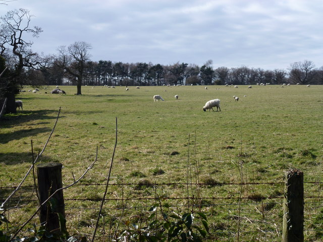
Castle Acre Covert is home to a wide range of wildlife, making it an important habitat for biodiversity. The woodland provides shelter and food sources for various bird species, including great spotted woodpeckers, tawny owls, and song thrushes. Small mammals, such as mice, voles, and shrews, can also be found here, along with a variety of insects and amphibians.
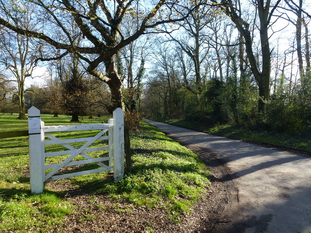
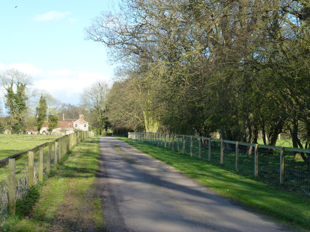
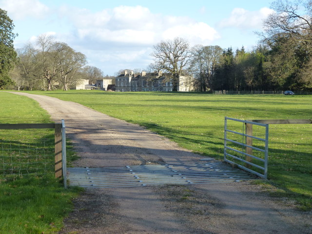
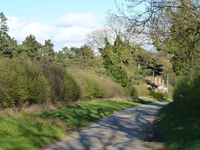
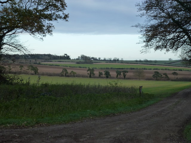
The woodland is crisscrossed by a network of footpaths, allowing visitors to explore and enjoy the natural beauty of the area. These paths lead through different sections of the covert, offering scenic views and opportunities for observing wildlife. Additionally, the Norfolk Wildlife Trust organizes guided walks and events to educate visitors about the flora and fauna found in the woodland.
Castle Acre Covert provides a peaceful and tranquil setting for nature enthusiasts and offers a valuable habitat for local wildlife. Its beauty and ecological importance make it a cherished natural asset within the Norfolk countryside.
If you have any feedback on the listing, please let us know in the comments section below.
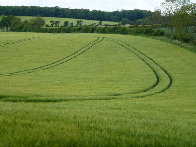
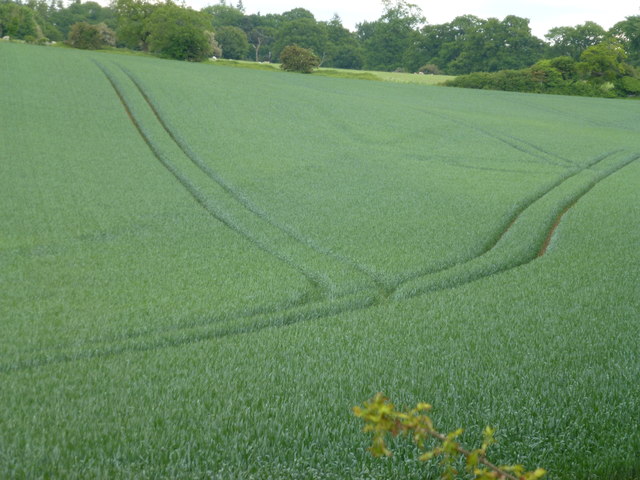
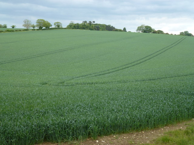
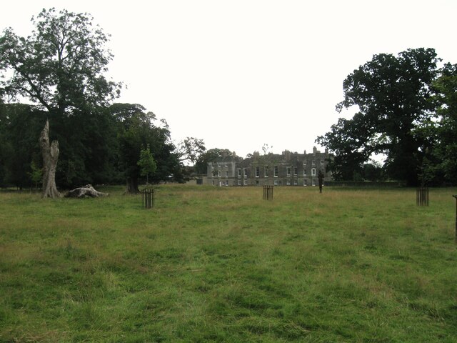
Castle Acre Covert Images
Images are sourced within 2km of 52.727378/0.66026271 or Grid Reference TF7917. Thanks to Geograph Open Source API. All images are credited.

Castle Acre Covert is located at Grid Ref: TF7917 (Lat: 52.727378, Lng: 0.66026271)
Administrative County: Norfolk
District: King's Lynn and West Norfolk
Police Authority: Norfolk
What 3 Words
///feelers.digests.nets. Near Narborough, Norfolk
Nearby Locations
Related Wikis

Peddars Way
The Peddars Way is a long distance footpath that passes through Suffolk and Norfolk, England. == Route == The Peddars Way is 46 miles (74 km) long and...

Castle Acre Common
Castle Acre Common is a 17.8-hectare (44-acre) biological Site of Special Scientific Interest east of King's Lynn in Norfolk.This unimproved grazing marsh...

West Acre
West Acre is a village and civil parish in the King's Lynn and West Norfolk district of the county of Norfolk, England. It covers an area of 14.49 km2...

West Acre Priory
West Acre Priory of St. Mary and All Saints was a medieval monastic house at West Acre in the King's Lynn and West Norfolk district of Norfolk, England...

Castle Acre
Castle Acre is a village and civil parish in the English county of Norfolk. The village is situated on the River Nar some 4 miles (6.4 km) north of the...

Castle Acre Priory
Castle Acre Priory was a Cluniac priory in the village of Castle Acre, Norfolk, England, dedicated to St Mary, St Peter, and St Paul. It is thought to...
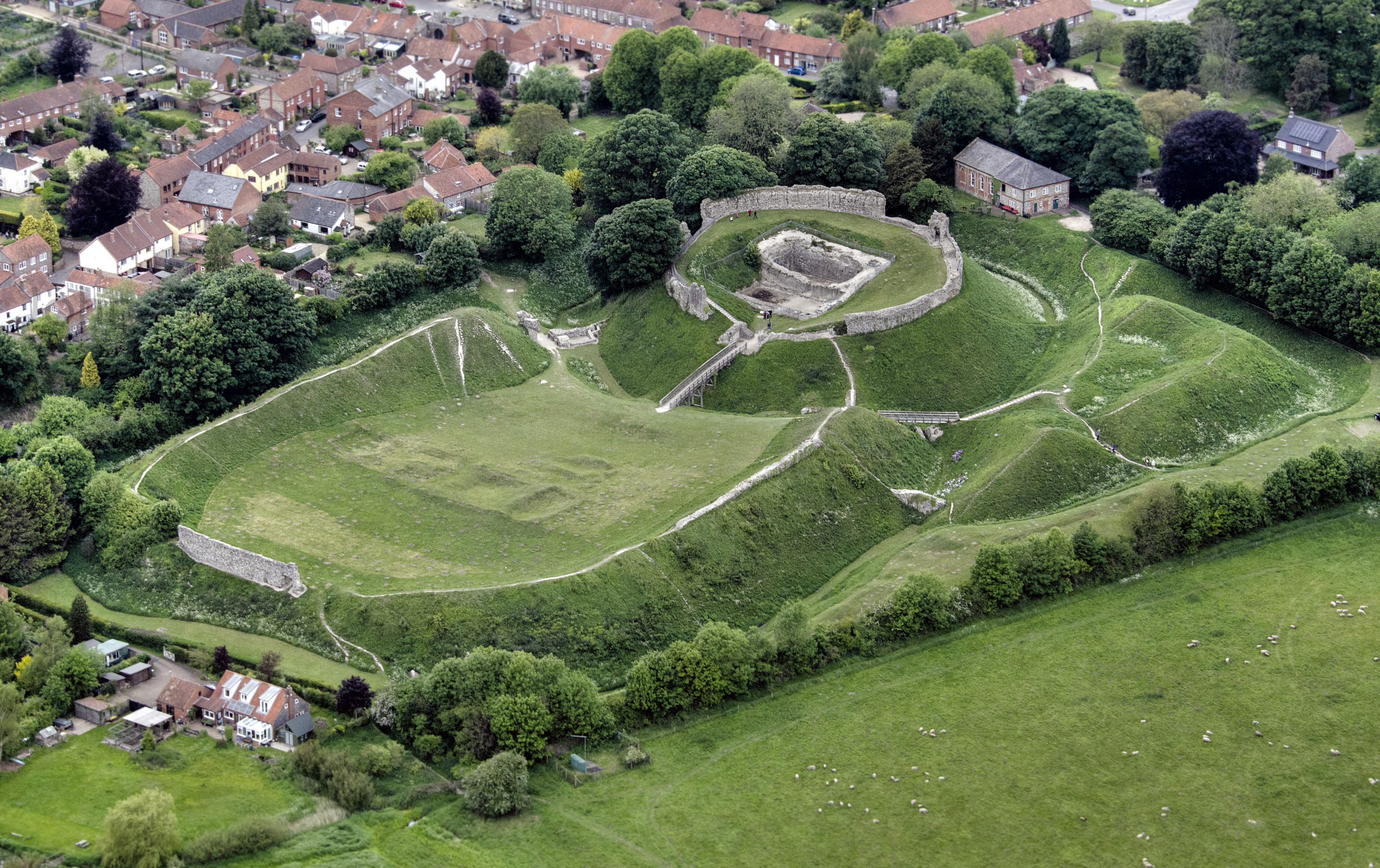
Castle Acre Castle and town walls
Castle Acre Castle and town walls are a set of ruined medieval defences built in the village of Castle Acre, Norfolk. The castle was built soon after the...

South Acre
South Acre is a village and civil parish in the English county of Norfolk. The village has almost disappeared, but the remnants are located about 1 km...
Have you been to Castle Acre Covert?
Leave your review of Castle Acre Covert below (or comments, questions and feedback).