Great Common

Wood, Forest in Essex Castle Point

England

Great Common

Flats on London Road
Flats on London Road Credit: JThomas

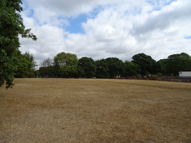
Great Common is a picturesque woodland area located in Essex, England. Situated in the heart of the county, it is part of the larger Epping Forest district. The woodland covers an expansive area, offering visitors a tranquil and serene environment to explore and enjoy.

Great Common is renowned for its dense forest, which is predominantly composed of ancient oak and beech trees. These majestic and towering trees create a rich and diverse ecosystem, providing a habitat for a variety of plant and animal species. The forest floor is carpeted with a lush carpet of ferns, bluebells, and wildflowers during the spring and summer months, adding to the area's natural beauty.

The woodland is intersected by several walking trails and footpaths, allowing visitors to immerse themselves in nature while taking leisurely strolls or embarking on more challenging hikes. These trails offer breathtaking views of the surrounding landscape, including panoramic vistas of rolling hills and meandering streams.

Great Common is not only a haven for nature enthusiasts but also a popular spot for outdoor recreational activities. Visitors can indulge in birdwatching, as the forest is home to a variety of avian species, including woodpeckers, owls, and various songbirds. Additionally, the area is perfect for picnicking, photography, and simply appreciating the natural wonders that the woodland has to offer.

With its idyllic setting and abundance of natural beauty, Great Common in Essex is a must-visit destination for those seeking solace in the embrace of nature. Whether it be for a peaceful walk, a family outing, or an adventurous exploration, this woodland area has something to offer to everyone.

If you have any feedback on the listing, please let us know in the comments section below.
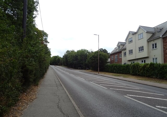
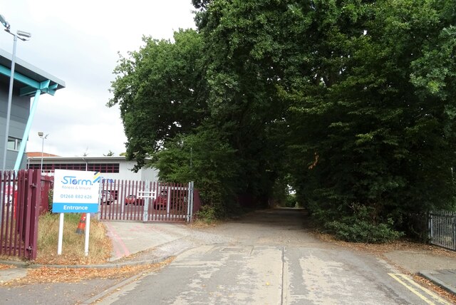
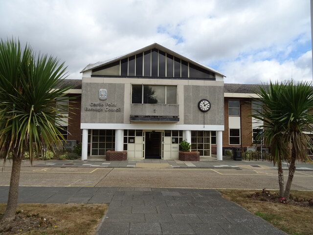
Great Common Images

Images are sourced within 2km of 51.575322/0.58954435 or Grid Reference TQ7989. Thanks to Geograph Open Source API. All images are credited.

Flats on London Road
London Road (A13) Towards Southend.
London Road (A13)
Towards Southend.
Indian Restaurant on London Road (A13)
Shop on Kiln Road
Shop on Kiln Road
Kiln Road (A13) Towards Southend.
Kiln Road (A13)
Towards Southend.
George V postbox on Bartley Road Postbox No. SS7 233.
George V postbox on Bartley Road
Postbox No. SS7 233.
House on Kiln Road (A13)
Parched college sportsfield
Runnymede Chase (track)
Castle Point Brough Council offices
Flats on Kiln Road (A13)
Kiln Road (A13) Towards Southend.
Kiln Road (A13)
Towards Southend.
The Woodman’s Arms Public House in Thundersley.
The Woodman’s Arms
Public House in Thundersley.
Kiln Road, Hadleigh – 1972 Southend Corporation bus services extended well beyond the borough boundary as part of a coordination agreement with Eastern National. Bus 354, a Daimler Fleetline with Northern Counties body, new in 1971, is returning to Southend from Rayleigh Station.

This is one of a series of views featuring buses in the 60s, 70s, and 80s. <a title="https://www.geograph.org.uk/search.php?i=137652761" href="https://www.geograph.org.uk/search.php?i=137652761">Link</a>
Kiln Road, Hadleigh – 1972
Southend Corporation bus services extended well beyond the borough boundary as part of a coordination agreement with Eastern National. Bus 354, a Daimler Fleetline with Northern Counties body, new in 1971, is returning to Southend from Rayleigh Station. This is one of a series of views featuring buses in the 60s, 70s, and 80s. Link
War memorial, Holy Trinity Church, Rayleigh Lychgate bearing the carved memorial:

"1939 We will remember them 1945"
War memorial, Holy Trinity Church, Rayleigh
Lychgate bearing the carved memorial: "1939 We will remember them 1945"
Flats near railway, Rayleigh
Railway bridge over the A129, Rayleigh
Edward VII postbox on Station Road, Rayleigh Postbox No. SS6 57.
Edward VII postbox on Station Road, Rayleigh
Postbox No. SS6 57.
Show me another place!

Great Common is located at Grid Ref: TQ7989 (Lat: 51.575322, Lng: 0.58954435)

Administrative County: Essex

District: Castle Point

Police Authority: Essex

What 3 Words

///juices.cloak.songs. Near Rayleigh, Essex

Nearby Locations

Kingley Wood Great Common

Related Wikis

Thundersley Great Common

Thundersley Great Common or Thundersley Common is an 8.9-hectare (22-acre) biological Site of Special Scientific Interest in Thundersley in Essex. It is...

Thundersley

Thundersley is a town and former civil parish, in the Castle Point borough, in southeast Essex, England. It sits on a clay ridge shared with Basildon and...

The Deanes

The Deanes (formerly The Deanes School) is a co-educational secondary school located in Thundersley in the English county of Essex. == History == The...

Rayleigh Weir Stadium

Rayleigh Weir Stadium was a speedway, greyhound racing and stock car stadium in Weir between Rayleigh and Thundersley in England. It is not to be confused...

Nearby Amenities

Located within 500m of 51.575322,0.58954435
Motorway Junction
Rayleigh Weir
Lat/Long: 51.5776916/0.5936145
Barrier: cycle_barrier
Lat/Long: 51.573893/0.5931345
Bus Stop
Copper Beeches
Naptan AtcoCode: 150041005011
Naptan Bearing: S
Naptan CommonName: Copper Beaches
Naptan Crossing: Deerhurst
Naptan Indicator: o/s
Naptan Landmark: Copper Beaches
Naptan NaptanCode: esxdwpjt
Naptan PlusbusZoneRef: RAYLEGH;STHCENT
Naptan Street: Rayleigh Road
Naptan Verified: no
Public Transport: platform
Source: naptan_import
Lat/Long: 51.5728219/0.595532
Bus Stop
Copper Beeches
Naptan AtcoCode: 150041005012
Naptan Bearing: N
Naptan CommonName: Copper Beaches
Naptan Crossing: Deerhurst
Naptan Indicator: Opp
Naptan Landmark: Copper Beaches
Naptan NaptanCode: esxdwpjw
Naptan PlusbusZoneRef: RAYLEGH;STHCENT
Naptan Street: Rayleigh Road
Naptan Verified: no
Public Transport: platform
Source: naptan_import
Lat/Long: 51.5730638/0.5955747
Access: yes
Barrier: kissing_gate
Wheelchair: no
Lat/Long: 51.5788337/0.5906137
Crossing
Crossing: unmarked
Crossing Markings: no
Lat/Long: 51.5793917/0.5868079
The data included in this document is from www.openstreetmap.org. The data is made available under ODbL.

Have you been to Great Common?

Leave your review of Great Common below (or comments, questions and feedback).