Cresslands Wood
Wood, Forest in Suffolk West Suffolk
England
Cresslands Wood

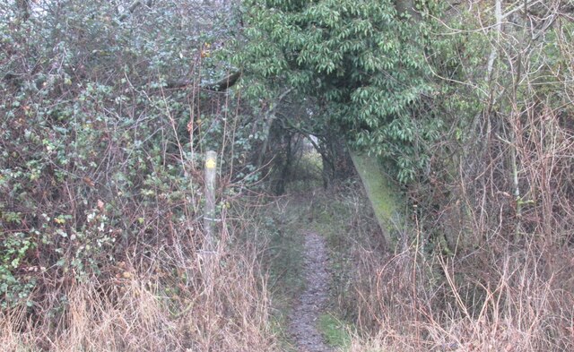
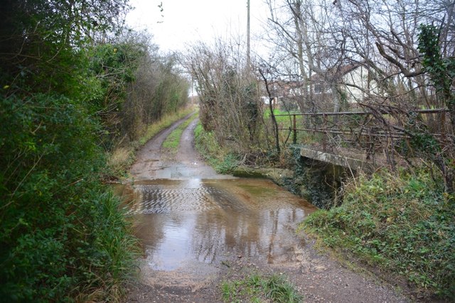
Cresslands Wood is a picturesque woodland located in Suffolk, England. Covering an area of approximately 100 acres, it is nestled in the heart of the county, near the village of Cresslands. The wood is part of a larger forested area in the region and is known for its natural beauty and diverse flora and fauna.
The woodland is primarily composed of deciduous trees, including oak, beech, and birch, which create a stunning canopy that changes with the seasons. The forest floor is carpeted with a variety of wildflowers, such as bluebells and primroses, adding bursts of color to the landscape.
Cresslands Wood is a haven for wildlife. It is home to a wide range of bird species, including woodpeckers, owls, and various songbirds. Visitors may also spot small mammals like deer, foxes, and squirrels as they traverse the woodland trails.
The wood is a popular destination for nature lovers, hikers, and photographers who seek tranquility and a connection with the natural world. Several well-maintained footpaths wind through the forest, providing opportunities for leisurely walks and exploration. Cresslands Wood offers a sense of serenity and escape from the hustle and bustle of daily life.
Visitors to Cresslands Wood can immerse themselves in the beauty of nature, enjoying the sights and sounds of the woodland while experiencing a sense of peace and calm. Whether it's a leisurely stroll, birdwatching, or simply admiring the stunning surroundings, Cresslands Wood offers a truly enchanting experience for all who venture into its depths.
If you have any feedback on the listing, please let us know in the comments section below.
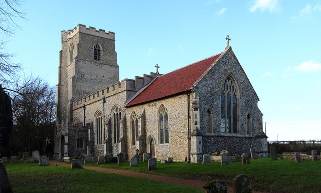
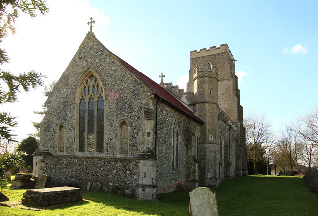
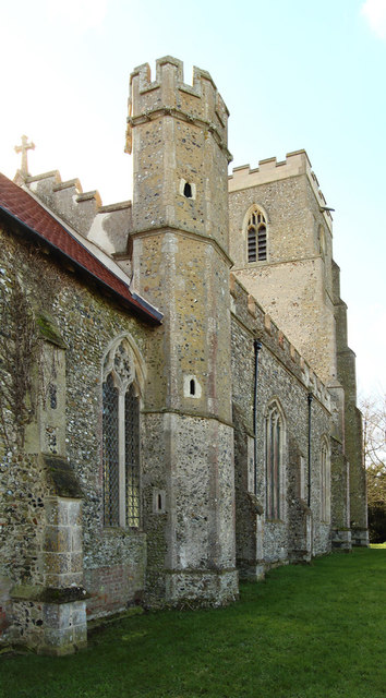
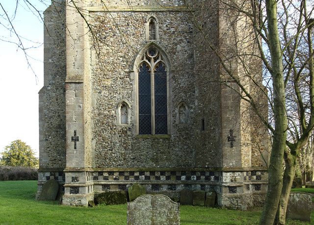
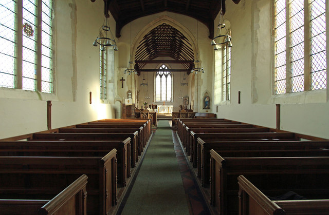
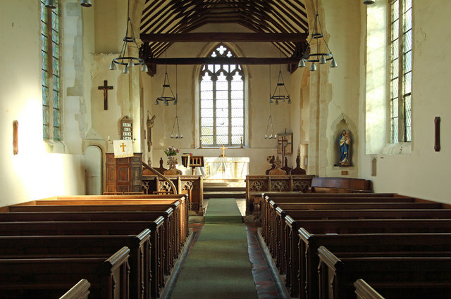
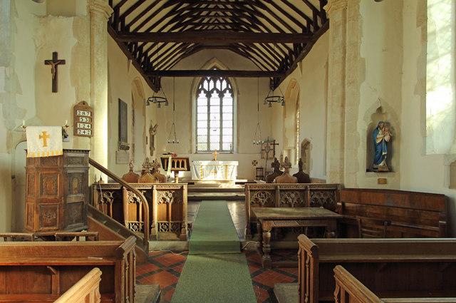
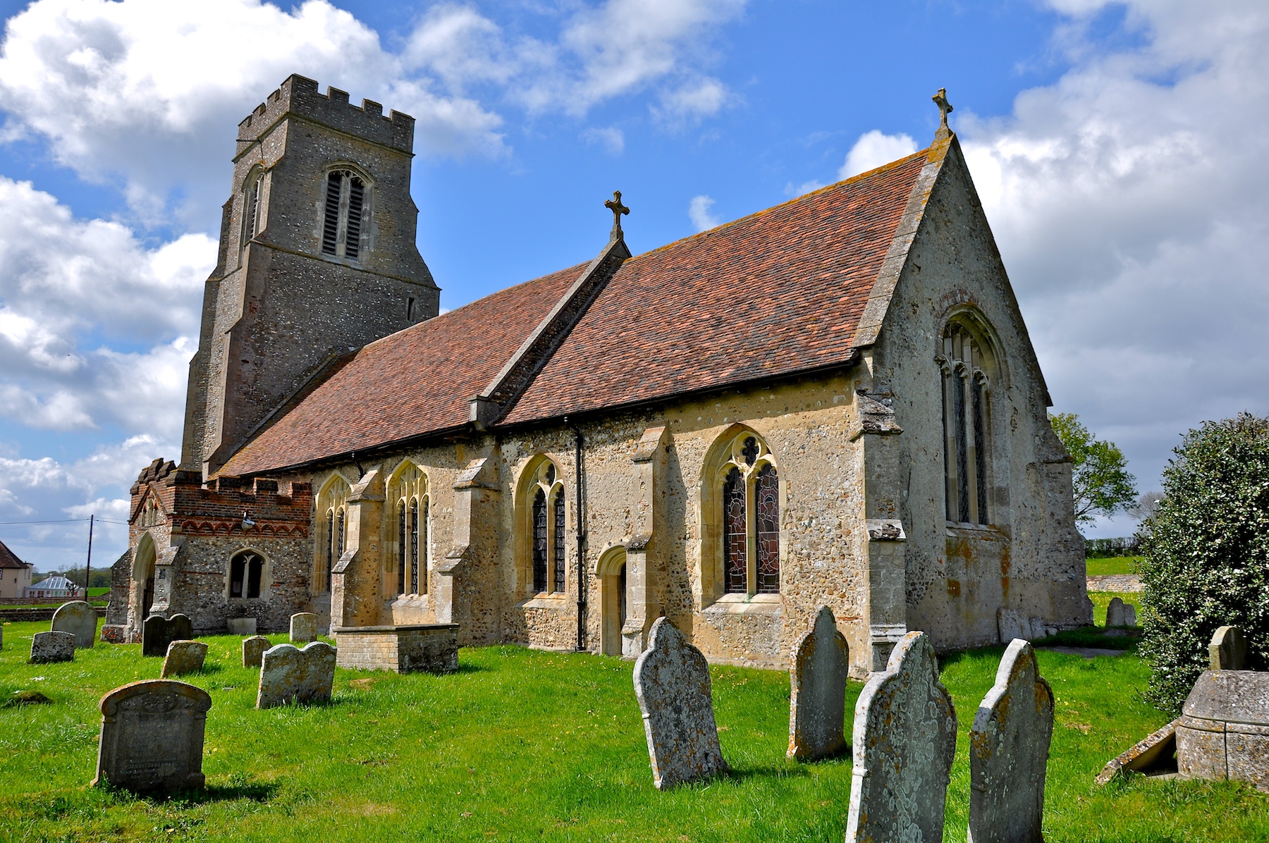
Cresslands Wood Images
Images are sourced within 2km of 52.157224/0.61943849 or Grid Reference TL7954. Thanks to Geograph Open Source API. All images are credited.


Cresslands Wood is located at Grid Ref: TL7954 (Lat: 52.157224, Lng: 0.61943849)
Administrative County: Suffolk
District: West Suffolk
Police Authority: Suffolk
What 3 Words
///cape.whirlwind.surely. Near Glemsford, Suffolk
Nearby Locations
Related Wikis
Hawkedon
Hawkedon is a village and civil parish in the West Suffolk district of Suffolk in eastern England. Located around 7 miles (11 km) south-south-west of Bury...

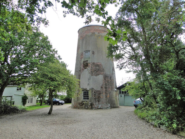
Stansfield Windmill
Stansfield Mill is a Grade II listed tower mill at Stansfield, Suffolk, England which is derelict. == History == Stansfield Mill was built in 1840, replacing...

Great Wood Hill
At 128 metres (420 ft), Great Wood Hill, near Chedburgh, is the highest point in the English county of Suffolk. It is the highest part of the Newmarket...

Newmarket Ridge
The Newmarket Ridge or East Anglian Ridge is a ridge starting north-west of Hertford, Hertfordshire near the Chiltern Hills and ending near Sudbury, Suffolk...
Rede, Suffolk
Rede is a village and civil parish in the West Suffolk district of Suffolk in eastern England. Its location is situated South East of Chedburgh. In 1887...

Gifford's Hall, Wickhambrook
Gifford's Hall is a manor house in the civil parish of Wickhambrook, in the West Suffolk district, in the county of Suffolk, England. It is Grade I listed...

Somerton, Suffolk
Somerton is a civil parish in the Babergh district of Suffolk in eastern England. Somerton is split into two smaller villages: Upper Somerton with a population...
Stansfield
Stansfield is a village and civil parish in the West Suffolk district of Suffolk in eastern England. Located seven miles south-west of Bury St Edmunds...
Have you been to Cresslands Wood?
Leave your review of Cresslands Wood below (or comments, questions and feedback).