Beauport Wood
Wood, Forest in Sussex Rother
England
Beauport Wood

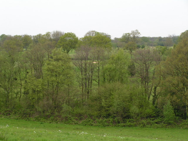
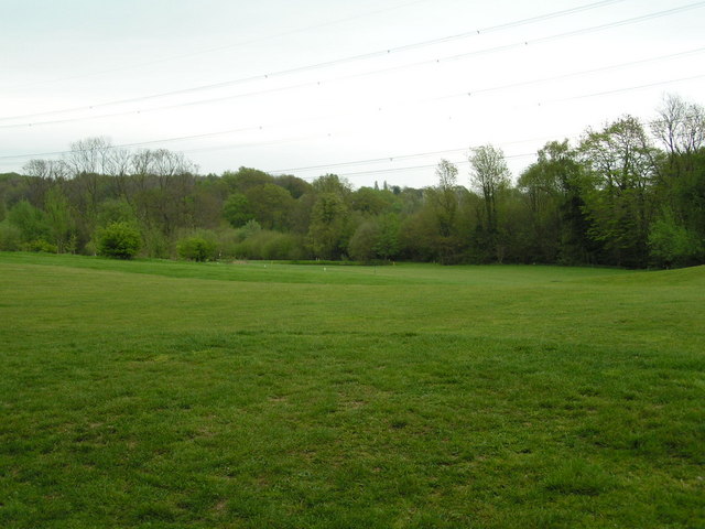
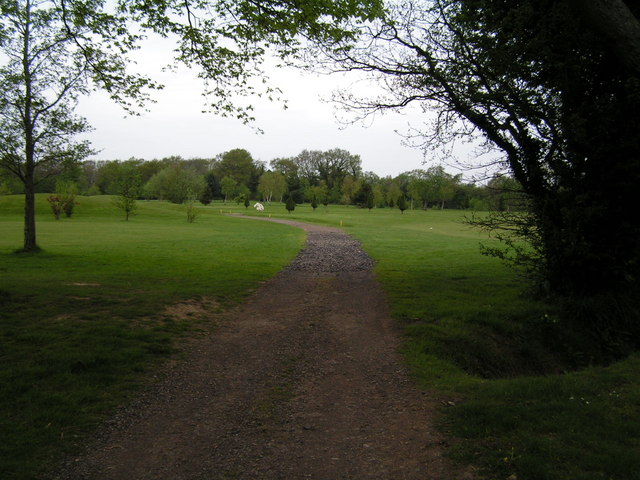
Beauport Wood, located in Sussex, England, is a picturesque woodland spanning over 47 hectares. It is situated near the town of Battle, renowned for the historic Battle Abbey. The wood is a popular destination for nature enthusiasts and those seeking a tranquil escape from the hustle and bustle of everyday life.
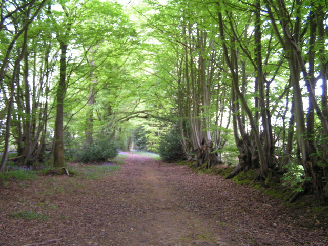
Beauport Wood is primarily composed of mixed deciduous trees, including oak, beech, and ash. These trees create a dense canopy that provides shade and shelter for a diverse range of flora and fauna. The woodland floor is covered in a vibrant carpet of bluebells during the spring, creating a breathtaking spectacle for visitors.
The woodland is crisscrossed by numerous footpaths and trails, allowing visitors to explore its natural wonders at their own pace. These paths meander through towering trees and lead to scenic viewpoints, where one can admire the surrounding countryside and even catch glimpses of wildlife, such as deer and various bird species.
In addition to its natural beauty, Beauport Wood also holds historical significance. The wood was once part of the expansive estates owned by the influential British politician and diplomat, Sir John Colville. The remnants of an old Victorian mansion, known as Beauport Park, can still be found within the wood, adding an element of intrigue and charm to the area.
Overall, Beauport Wood is a captivating destination that offers a blend of natural splendor and historical intrigue. Whether it is for a leisurely stroll, a picnic amidst the bluebells, or a chance to connect with nature, this woodland provides a delightful experience for all who visit.
If you have any feedback on the listing, please let us know in the comments section below.
Beauport Wood Images
Images are sourced within 2km of 50.897803/0.54347406 or Grid Reference TQ7814. Thanks to Geograph Open Source API. All images are credited.


Beauport Wood is located at Grid Ref: TQ7814 (Lat: 50.897803, Lng: 0.54347406)
Administrative County: East Sussex
District: Rother
Police Authority: Sussex
What 3 Words
///dusty.analogy.ladder. Near Battle, East Sussex
Nearby Locations
Related Wikis

Beauport Park
Beauport Park is a house near Hastings, East Sussex, England. It is located at the western end of the ridge of hills sheltering Hastings from the north...

Baldslow
Baldslow is a suburb in the north of Hastings, East Sussex, England. It is sometimes considered part of Conquest as Bohemia and Silverhill. The area lies...

Hemingfold Meadow
Hemingfold Meadow is a 4.9-hectare (12-acre) biological Site of Special Scientific Interest west of Battle in East Sussex.This site consists of two adjacent...

Maplehurst Wood
Maplehurst Wood is a 31.6-hectare (78-acre) biological Site of Special Scientific Interest on the northern outskirts of Hastings in East Sussex.This wood...
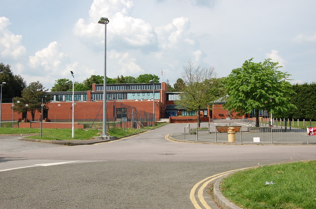
Ark Helenswood Academy
Ark Helenswood Academy (formerly Hastings High School for Girls and then Helenswood School) was a secondary school and sixth form for girls located in...

Blackhorse Quarry
Blackhorse Quarry is a 0.2-hectare (0.49-acre) geological Site of Special Scientific Interest south-east of Battle in East Sussex. It is a Geological Conservation...

Marline Valley Woods
Marline Valley Woods is a 55.1-hectare (136-acre) biological Site of Special Scientific Interest on the western outskirts of Hastings in East Sussex. An...

Conquest Hospital
Conquest Hospital is a National Health Service hospital in St Leonards-on-Sea in Hastings in East Sussex, England. It is managed by the East Sussex Healthcare...
Nearby Amenities
Located within 500m of 50.897803,0.54347406Have you been to Beauport Wood?
Leave your review of Beauport Wood below (or comments, questions and feedback).