Four Acre Wood
Wood, Forest in Norfolk King's Lynn and West Norfolk
England
Four Acre Wood

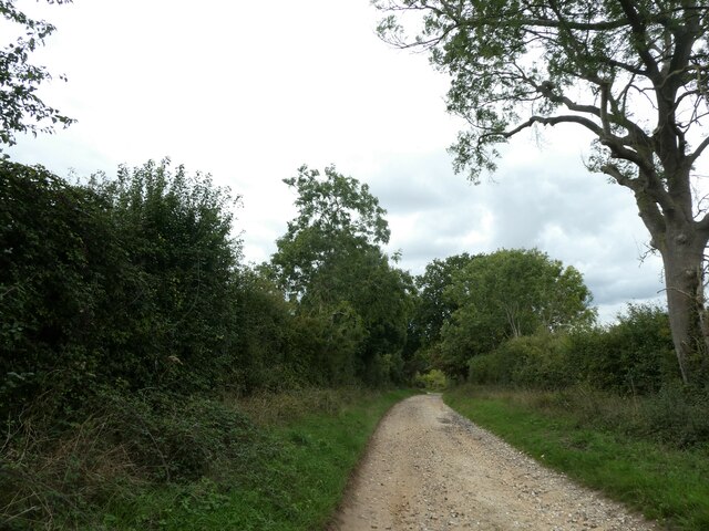
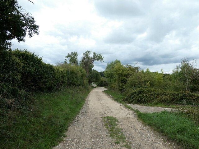
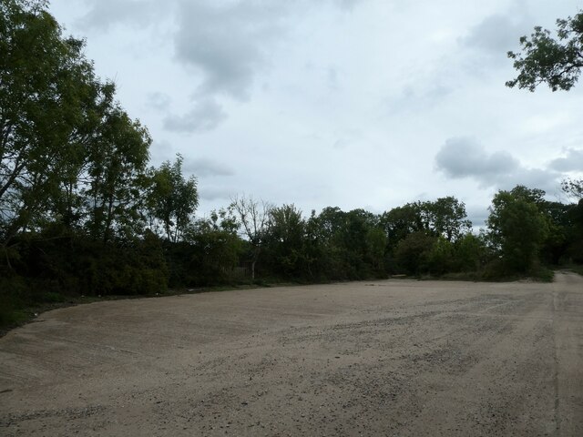
Four Acre Wood is a picturesque forest located in Norfolk, England. Covering an area of approximately four acres, this woodland is a haven for nature lovers and provides a tranquil escape from the hustle and bustle of everyday life.
The forest is characterized by a diverse range of trees, including oak, beech, and birch, which create a dense canopy overhead, casting dappled sunlight on the forest floor. These trees provide an ideal habitat for a variety of wildlife, including deer, rabbits, and a plethora of bird species.
The woodland is crisscrossed by several well-maintained trails, allowing visitors to explore its beauty at their own pace. These paths meander through the forest, offering glimpses of enchanting wildflowers, moss-covered rocks, and babbling streams that add to the natural charm of the area.
Four Acre Wood is a popular destination for outdoor enthusiasts, offering opportunities for walking, hiking, and birdwatching. The forest is also a favored spot for families, who can enjoy picnics in designated areas or engage in educational activities, such as nature trails and wildlife spotting.
Managed by the local authorities, Four Acre Wood is meticulously maintained to preserve its natural beauty and protect the delicate ecosystem it supports. Visitors are urged to respect the environment by refraining from littering and keeping to designated paths.
In conclusion, Four Acre Wood is a captivating forest in Norfolk, England, offering visitors a chance to immerse themselves in nature and experience the tranquility of a truly enchanting woodland setting.
If you have any feedback on the listing, please let us know in the comments section below.
Four Acre Wood Images
Images are sourced within 2km of 52.807136/0.64753246 or Grid Reference TF7826. Thanks to Geograph Open Source API. All images are credited.


Four Acre Wood is located at Grid Ref: TF7826 (Lat: 52.807136, Lng: 0.64753246)
Administrative County: Norfolk
District: King's Lynn and West Norfolk
Police Authority: Norfolk
What 3 Words
///imported.port.maddening. Near Grimston, Norfolk
Nearby Locations
Related Wikis

Harpley, Norfolk
Harpley is a village and civil parish in the English county of Norfolk. It covers an area of 9.29 km2 (3.59 sq mi) and had a population of 353 in 157 households...

Houghton, Norfolk
Houghton is a small village and a civil parish in the English county of Norfolk. It covers an area of 7.64 km2 (2.95 sq mi) and had a population of 69...
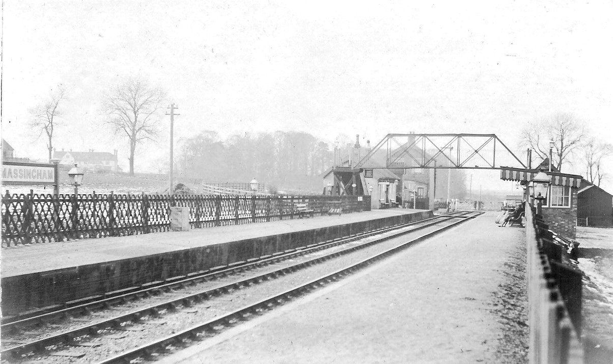
Massingham railway station
Massingham railway station is a now closed railway station in North Norfolk. It was situated at Little Massingham and was on the line between South Lynn...

St Martin at Tours' Church, Houghton
St Martin at Tours' Church is an active Church of England parish church in the village of Houghton, Norfolk, England. It is a Grade I listed building...
Nearby Amenities
Located within 500m of 52.807136,0.64753246Have you been to Four Acre Wood?
Leave your review of Four Acre Wood below (or comments, questions and feedback).