Fisher's Pond

Settlement in Hampshire Winchester

England

Fisher's Pond

Bridleway near Park Hills Wood
Bridleway near Park Hills Wood Credit: Chris Wimbush

Fisher's Pond is a small village located in the county of Hampshire, England. Situated approximately 5 miles northeast of the city of Winchester, Fisher's Pond is nestled in a picturesque rural setting, surrounded by rolling hills and open fields. The village is primarily residential, with a close-knit community that values its peaceful and idyllic atmosphere.

The name Fisher's Pond is derived from a historic pond that was once used for fishing in the area. Although the pond no longer exists, the village has retained the name as a reminder of its past. The surrounding countryside offers ample opportunities for outdoor activities, such as hiking, cycling, and horse riding, making it a popular destination for nature enthusiasts and those seeking a tranquil retreat.

Fisher's Pond is home to a range of amenities that cater to the needs of its residents. These include a local pub, a primary school, a village hall, and a post office. The village also benefits from excellent transport links, with easy access to major roads and nearby railway stations, ensuring convenient connectivity to surrounding towns and cities.

The community in Fisher's Pond is known for its strong sense of camaraderie and community spirit. Regular events and activities, such as summer fairs and village festivals, foster a sense of togetherness among the residents. Additionally, the village has a thriving social scene, with various clubs and groups catering to different interests, including sports, arts, and gardening.

Overall, Fisher's Pond offers a serene and welcoming environment for its residents, combining the charm of rural living with convenient access to nearby urban centers.

If you have any feedback on the listing, please let us know in the comments section below.

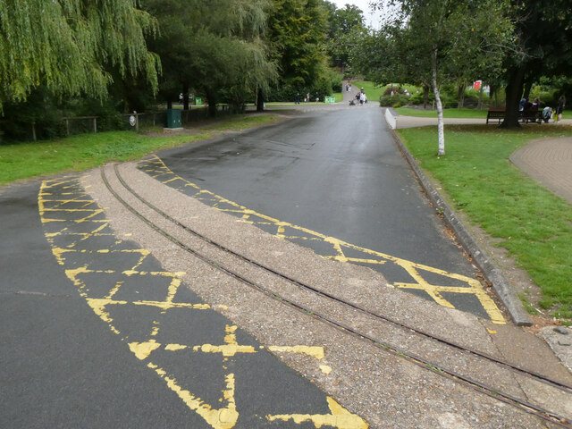
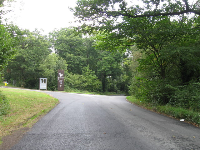
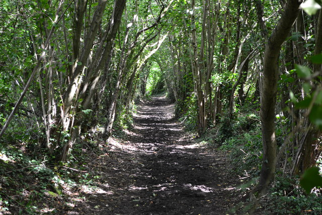
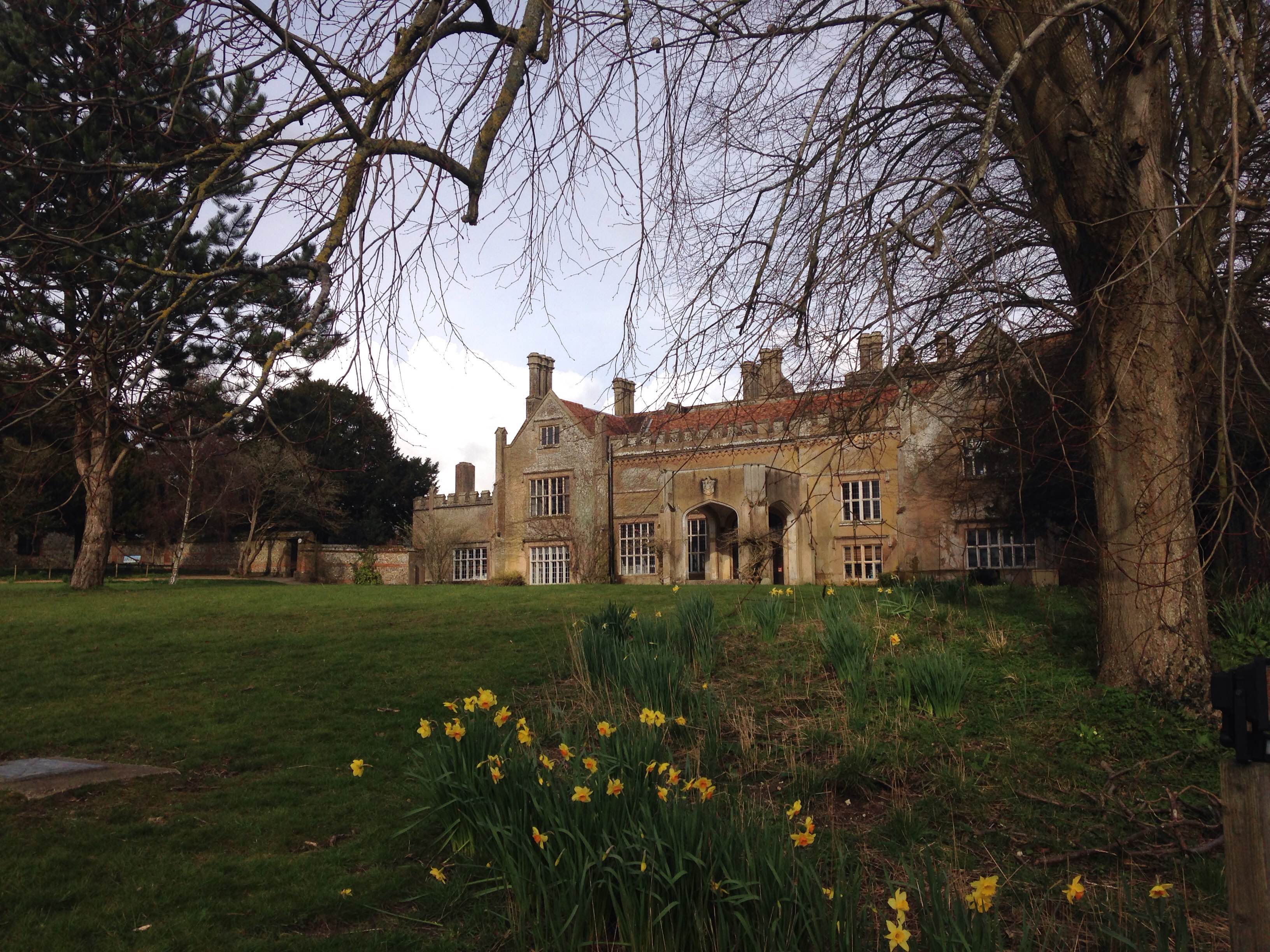
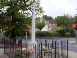
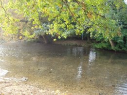
Fisher's Pond Images

Images are sourced within 2km of 50.986971/-1.3060704 or Grid Reference SU4821. Thanks to Geograph Open Source API. All images are credited.

Bridleway near Park Hills Wood
Rails no more at Marwell Zoo The 15-inch gauge railway at Marwell Zoo closed in 2022 and the tracks, save for rails mounted in concrete at level crossings, have since been removed. Visitors to the zoo can now enjoy a ride in a road-train instead. 

Old and new are seen here, close to the zoo entrance.
Rails no more at Marwell Zoo
The 15-inch gauge railway at Marwell Zoo closed in 2022 and the tracks, save for rails mounted in concrete at level crossings, have since been removed. Visitors to the zoo can now enjoy a ride in a road-train instead. Old and new are seen here, close to the zoo entrance.
Rails no more at Marwell Zoo The 15-inch gauge railway at Marwell Zoo closed in 2022 and the tracks, save for rails mounted in concrete at level crossings, have since been removed. Visitors to the zoo can now enjoy a ride in a road-train instead. 

This is the former platform near to the zoo entrance at the western end of the site.
Rails no more at Marwell Zoo
The 15-inch gauge railway at Marwell Zoo closed in 2022 and the tracks, save for rails mounted in concrete at level crossings, have since been removed. Visitors to the zoo can now enjoy a ride in a road-train instead. This is the former platform near to the zoo entrance at the western end of the site.
Rails no more at Marwell Zoo The 15-inch gauge railway at Marwell Zoo closed in 2022 and the tracks, save for rails mounted in concrete at level crossings, have since been removed. Visitors to the zoo can now enjoy a ride in a road-train instead. 

This is the view east from the station near the zoo entrance. The junction for the balloon loop (there was one at each end of the line) is in the foreground, and a track would have trailed in from the right behind the bush.
Rails no more at Marwell Zoo
The 15-inch gauge railway at Marwell Zoo closed in 2022 and the tracks, save for rails mounted in concrete at level crossings, have since been removed. Visitors to the zoo can now enjoy a ride in a road-train instead. This is the view east from the station near the zoo entrance. The junction for the balloon loop (there was one at each end of the line) is in the foreground, and a track would have trailed in from the right behind the bush.
Rails no more at Marwell Zoo The 15-inch gauge railway at Marwell Zoo closed in 2022 and the tracks, save for rails mounted in concrete at level crossings (as seen here), have since been removed. Visitors to the zoo can now enjoy a ride in a road-train instead.
Rails no more at Marwell Zoo
The 15-inch gauge railway at Marwell Zoo closed in 2022 and the tracks, save for rails mounted in concrete at level crossings (as seen here), have since been removed. Visitors to the zoo can now enjoy a ride in a road-train instead.
Rails no more at Marwell Zoo The 15-inch gauge railway at Marwell Zoo closed in 2022 and the tracks, save for rails mounted in concrete at level crossings, have since been removed. Visitors to the zoo can now enjoy a ride in a road-train instead. 

This is section of the trackbed now.
Rails no more at Marwell Zoo
The 15-inch gauge railway at Marwell Zoo closed in 2022 and the tracks, save for rails mounted in concrete at level crossings, have since been removed. Visitors to the zoo can now enjoy a ride in a road-train instead. This is section of the trackbed now.
Zebras at Marwell Zoo
Rails no more at Marwell Zoo The 15-inch gauge railway at Marwell Zoo closed in 2022 and the tracks, save for rails mounted in concrete at level crossings, have since been removed. Visitors to the zoo can now enjoy a ride in a road-train instead. 

Here we see the disused trackbed on the left, and the replacement on the right.
Rails no more at Marwell Zoo
The 15-inch gauge railway at Marwell Zoo closed in 2022 and the tracks, save for rails mounted in concrete at level crossings, have since been removed. Visitors to the zoo can now enjoy a ride in a road-train instead. Here we see the disused trackbed on the left, and the replacement on the right.
Entrance to Marwell Zoo
Portsmouth Road
Portsmouth Road
Field margin west of Horsham Copse
View across field east of Hensting
Footpath along the edge of West Copse
A Marwellous day out (1) Path from the car park to the penguins
A Marwellous day out (1)
Path from the car park to the penguins
A Marwellous day out (2) The penguin house
A Marwellous day out (2)
The penguin house
A Marwellous day out (3) The penguin on the right has just joined the one to the left. They then performed this very comical duet
A Marwellous day out (3)
The penguin on the right has just joined the one to the left. They then performed this very comical duet
A Marwellous day out (4) The railway, sadly not running at present due to Covid
A Marwellous day out (4)
The railway, sadly not running at present due to Covid
A Marwellous day out (5) The zoo, at Colden Common near Winchester, is owned and run by the registered charity Marwell Wildlife. The zoo is home to about 1,200 animals of 150 species. The charity undertakes a range of educational and conservation activities, with a particular focus on Africa in addition to work from its base. When I visited it had a number of splendid Lego exhibits.
A Marwellous day out (5)
The zoo, at Colden Common near Winchester, is owned and run by the registered charity Marwell Wildlife. The zoo is home to about 1,200 animals of 150 species. The charity undertakes a range of educational and conservation activities, with a particular focus on Africa in addition to work from its base. When I visited it had a number of splendid Lego exhibits.
Show me another place!

Fisher's Pond is located at Grid Ref: SU4821 (Lat: 50.986971, Lng: -1.3060704)

Administrative County: Hampshire

District: Winchester

Police Authority: Hampshire

What 3 Words

///talent.happen.tags. Near Colden Common, Hampshire

Related Wikis

Colden Common

Colden Common is a civil parish in the Winchester District of Hampshire, England, approximately 5 miles south of the city of Winchester, covering an area...

Marwell College

Marwell College was a college of secular priests in Marwell Park, Owslebury, Hampshire, England. Marwell was sometimes spelled Merwell or Merewell. The...

Marwell Zoo

Marwell Zoo is a 140-acre (57 ha) zoo situated in Colden Common near Winchester, in the English county of Hampshire. It is owned and run by the registered...

Twyford Moors

Twyford Moors is a hamlet in the civil parish of Colden Common in the City of Winchester district of Hampshire, England. It is 1+1⁄4 miles (2.0 km) south...

Fair Oak

Fair Oak is a large village to the east of the town of Eastleigh in Hampshire, England. Together with the village of Horton Heath, which lies to the south...

St Mary's Church, Bishopstoke

The Church of St Mary's is an Anglican Church in Bishopstoke, Hampshire. St Mary's was designed by Edward Prioleau Warren and built during 1890/91 by Wheeler...

Bishopstoke

Bishopstoke is a village and civil parish in the Eastleigh district of Hampshire, England. It is recorded as "Stoke" as early as 948 AD when King Eadred...

The King's School, Fair Oak

The King's School, on Allington Lane in Fair Oak, Hampshire, is an independent Christian faith school with 229 pupils As of 2023. The school was founded...

Nearby Amenities

Located within 500m of 50.986971,-1.3060704
Barrier: stile
Source: survey
Lat/Long: 50.9908433/-1.303006
Power: tower
Ref: 4YC 48
Source Ref: extrapolation
Lat/Long: 50.9827407/-1.3059833
Bus Stop
Woodside Centre
Bus: yes
Naptan AtcoCode: 1900HA110528
Naptan Bearing: NW
Naptan CommonName: Woodside Centre
Naptan NaptanCode: hamdjajd
Naptan Street: B3354 Main Road
Naptan Verified: no
Public Transport: platform
Source: naptan_import
Lat/Long: 50.9906949/-1.3087394
Bus Stop
Woodside Centre
Bus: yes
Naptan AtcoCode: 1900HA110529
Naptan Bearing: SE
Naptan CommonName: Woodside Centre
Naptan NaptanCode: hamdjajt
Naptan Street: B 3354 Main Road
Naptan Verified: no
Public Transport: platform
Source: naptan_import
Lat/Long: 50.9906033/-1.3084558
Bus Stop
Fishers Pond Ph
Bench: no
Bin: no
Bus: yes
Naptan AtcoCode: 1900HA110530
Naptan Bearing: N
Naptan CommonName: Fishers Pond Ph
Naptan Crossing: Opp Hensting Lane
Naptan NaptanCode: hamdjdam
Naptan Street: B3354 Main Road
Naptan Verified: no
Public Transport: platform
Shelter: no
Source: naptan_import
Tactile Paving: no
Lat/Long: 50.986272/-1.3059556
Bus Stop
Fishers Pond Ph
Bench: no
Bin: no
Bus: yes
Naptan AtcoCode: 1900HA110531
Naptan Bearing: S
Naptan CommonName: Fishers Pond Ph
Naptan Crossing: Portsmouth Road
Naptan Landmark: O/s Queen's Head Ph
Naptan NaptanCode: hamdjdgd
Naptan Street: B3354 Main Road
Naptan Verified: no
Public Transport: platform
Shelter: no
Source: naptan_import
Tactile Paving: no
Lat/Long: 50.9859016/-1.3056762
Bus Stop
Fishers Pond Garage
Bus: yes
Naptan AtcoCode: 1900HA110532
Naptan Bearing: W
Naptan CommonName: Fishers Pond Garage
Naptan Crossing: B3354 Main Road
Naptan NaptanCode: hamdjgag
Naptan Street: B2177 Portsmouth Road
Naptan Verified: no
Public Transport: platform
Shelter: no
Source: naptan_import
Lat/Long: 50.9849856/-1.302869
Bus Stop
Fishers Pond Garage
Bench: no
Bus: yes
Naptan AtcoCode: 1900HA110533
Naptan Bearing: E
Naptan CommonName: Fishers Pond Garage
Naptan Crossing: B3354 Main Road
Naptan NaptanCode: hamdjgap
Naptan Street: B2177 Portsmouth Road
Naptan Verified: no
Public Transport: platform
Shelter: no
Source: naptan_import
Lat/Long: 50.9850746/-1.302711
Addr City: Winchester
Lat/Long: 50.9867268/-1.3054622
Post Box
Brand: Royal Mail
Brand Wikidata: Q638098
Brand Wikipedia: en:Royal Mail
Collection Plate: CP7
Collection Times: Mo-Fr 16:00; Sa 09:00
Operator: Royal Mail
Operator Wikidata: Q638098
Post Box Type: lamp
Ref: SO50 249
Royal Cypher: EIIR
Royal Cypher Wikidata: Q33102113
Lat/Long: 50.9850859/-1.3028162
Traffic Signals
Source: survey
Lat/Long: 50.9854412/-1.3056962
Addr City: Winchester
Lat/Long: 50.986506/-1.3051578
Addr City: Winchester
Lat/Long: 50.9864559/-1.3053741
Addr City: Winchester
Lat/Long: 50.9865866/-1.3054505
Addr City: Winchester
Lat/Long: 50.9866022/-1.3053971
Addr City: Winchester
Lat/Long: 50.9867655/-1.3052994
Height: 8
Material: wood
Power: pole
Structure: solid
Lat/Long: 50.9892388/-1.3122424
Height: 8
Material: wood
Power: pole
Structure: solid
Lat/Long: 50.9892847/-1.3113069
Height: 8
Material: wood
Power: pole
Structure: solid
Lat/Long: 50.9893841/-1.3103784
Height: 8
Material: wood
Power: pole
Structure: solid
Lat/Long: 50.9897413/-1.3092404
Height: 8
Material: wood
Power: pole
Structure: solid
Lat/Long: 50.9900273/-1.3082555
Height: 8
Material: wood
Power: pole
Structure: solid
Lat/Long: 50.9900813/-1.3080508
Addr City: Winchester
Entrance: main
Lat/Long: 50.9865942/-1.3054239
Roundabout Copse
Natural: wood
Lat/Long: 50.9881685/-1.2993578
Nob's Crook
Place: hamlet
Lat/Long: 50.9884723/-1.3066584
Fisher's Pond
Place: village
Wikidata: Q5454733
Wikipedia: en:Fisher's Pond
Lat/Long: 50.9872002/-1.3058184
Defibrillator
Access: yes
Addr Postcode: SO21 1TJ
Defibrillator Location: Shed by Church Rooms
Emergency: defibrillator
Indoor: no
Lat/Long: 50.9905046/-1.3091377
The data included in this document is from www.openstreetmap.org. The data is made available under ODbL.

Have you been to Fisher's Pond?

Leave your review of Fisher's Pond below (or comments, questions and feedback).