Berner's Belt
Wood, Forest in Suffolk West Suffolk
England
Berner's Belt

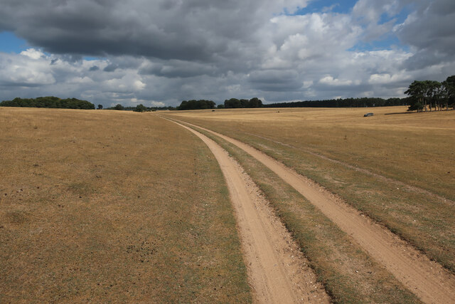
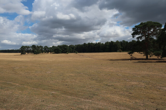
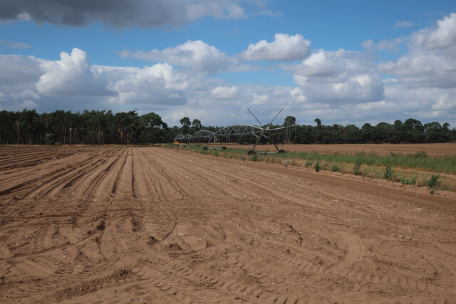
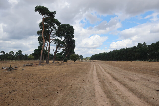
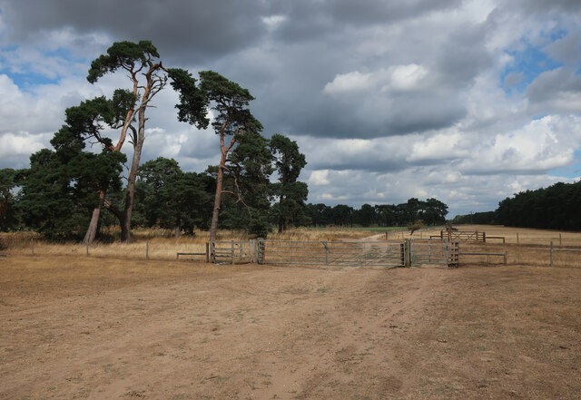
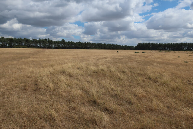
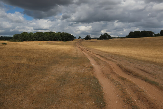
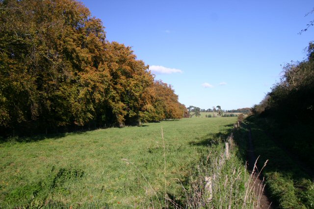
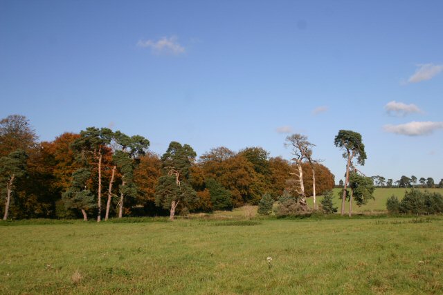
Berner's Belt is a picturesque woodland located in Suffolk, a county in the East of England. Covering an area of approximately 200 acres, it is a notable attraction for nature enthusiasts, hikers, and those seeking tranquility amidst the beauty of the Suffolk countryside.
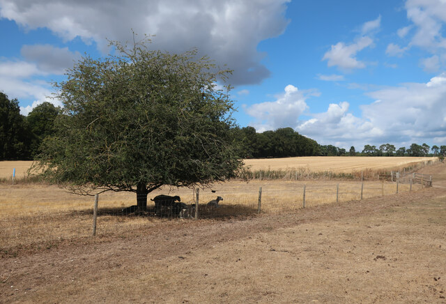
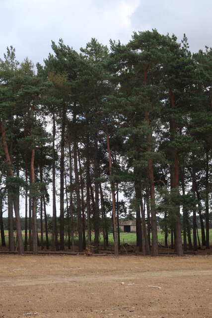
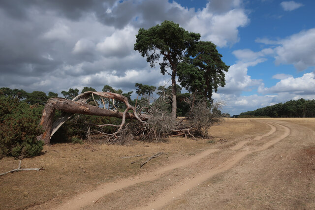
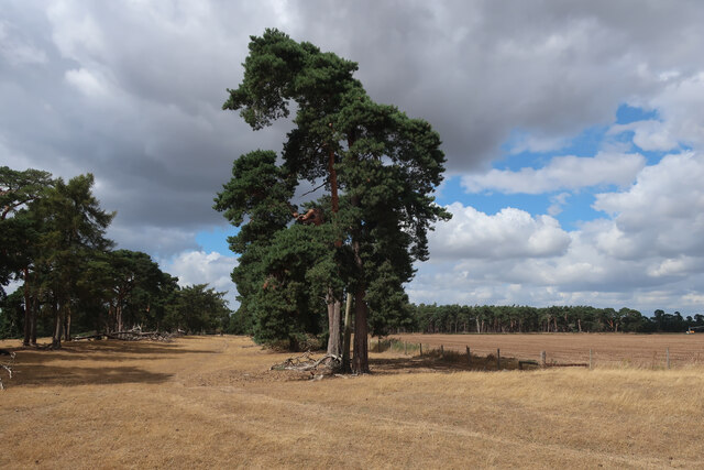
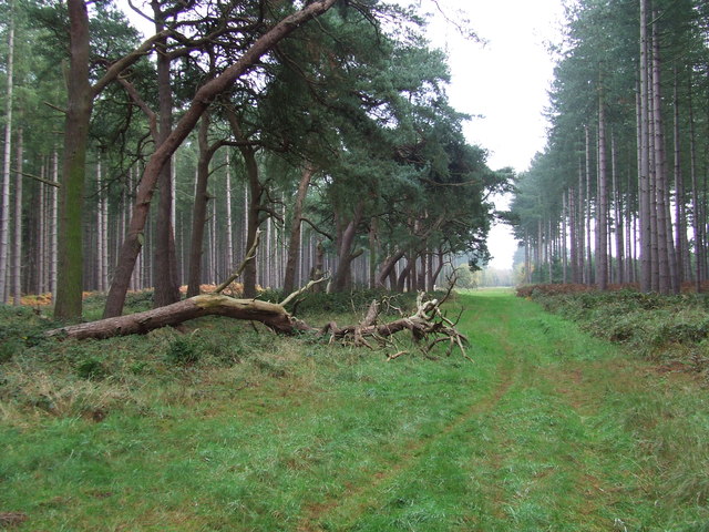
The woodland is characterized by its dense canopy of trees, predominantly consisting of oak, beech, and pine. These towering trees provide a habitat for a diverse range of flora and fauna, making it a haven for wildlife. Visitors to Berner's Belt can expect to encounter various bird species, including woodpeckers, owls, and songbirds, as well as small mammals such as squirrels, rabbits, and hedgehogs.
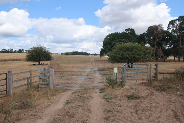
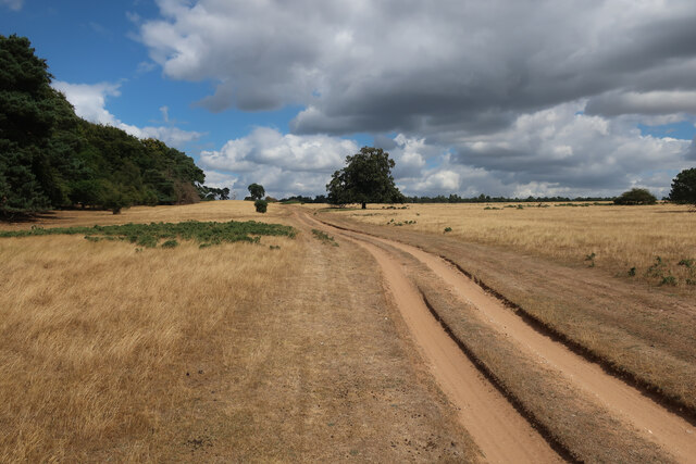
The forest floor is blanketed with a lush carpet of ferns, mosses, and wildflowers, creating a vibrant and magical atmosphere. Walking trails meander through the woodland, offering visitors the opportunity to explore its hidden corners and discover its natural wonders. The paths are well-maintained and clearly marked, ensuring a safe and enjoyable experience for all.
Berner's Belt also boasts a small stream that meanders through the woodland, providing a tranquil setting for picnics or moments of quiet contemplation. The gurgling sounds of the water, combined with the chorus of birdsong, create a soothing ambiance that rejuvenates the soul.
Overall, Berner's Belt in Suffolk is a captivating woodland that offers a respite from the hustle and bustle of everyday life. Its natural beauty, diverse wildlife, and peaceful ambiance make it a must-visit destination for nature lovers and those seeking a connection with the great outdoors.
If you have any feedback on the listing, please let us know in the comments section below.
Berner's Belt Images
Images are sourced within 2km of 52.346202/0.61791319 or Grid Reference TL7875. Thanks to Geograph Open Source API. All images are credited.
Berner's Belt is located at Grid Ref: TL7875 (Lat: 52.346202, Lng: 0.61791319)
Administrative County: Suffolk
District: West Suffolk
Police Authority: Suffolk
What 3 Words
///springing.segmented.flames. Near Mildenhall, Suffolk
Nearby Locations
Related Wikis

Deadman's Grave, Icklingham
Deadman's Grave, Icklingham is a 127.3-hectare (315-acre) biological Site of Special Scientific Interest north-east of Icklingham in Suffolk. It is a Nature...

Berner's Heath
Berner's Heath is a 236.9-hectare (585-acre) biological Site of Special Scientific Interest north-east of Icklingham in Suffolk. It is a Nature Conservation...

Weather and Horn Heaths, Eriswell
Weather and Horn Heaths, Eriswell is a 133.3-hectare (329-acre) biological Site of Special Scientific Interest east of Eriswell in Suffolk. It is a Nature...

All Saints' Church, Icklingham
All Saints' Church is a redundant Anglican church in the village of Icklingham, Suffolk, England. It is recorded in the National Heritage List for England...

How Hill Track
How Hill Track is a 3.1-hectare (7.7-acre) biological Site of Special Scientific Interest east of Mildenhall in Suffolk. It is in the Breckland Special...

Cavenham–Icklingham Heaths
Cavenham–Icklingham Heaths is a 419 hectare biological Site of Special Scientific Interest west of Icklingham in Suffolk. It is a Nature Conservation Review...

West Stow Heath
West Stow Heath is a 44.3-hectare (109-acre) biological Site of Special Scientific Interest west of West Stow in Suffolk. It is part of the Breckland Special...

West Stow Anglo-Saxon Village
West Stow Anglo-Saxon Village is an archaeological site and an open-air museum located near to West Stow in Suffolk, eastern England. Evidence for intermittent...
Nearby Amenities
Located within 500m of 52.346202,0.61791319Have you been to Berner's Belt?
Leave your review of Berner's Belt below (or comments, questions and feedback).