Brewers Wood
Wood, Forest in Kent Tunbridge Wells
England
Brewers Wood
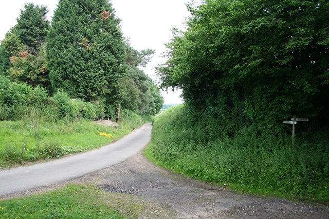
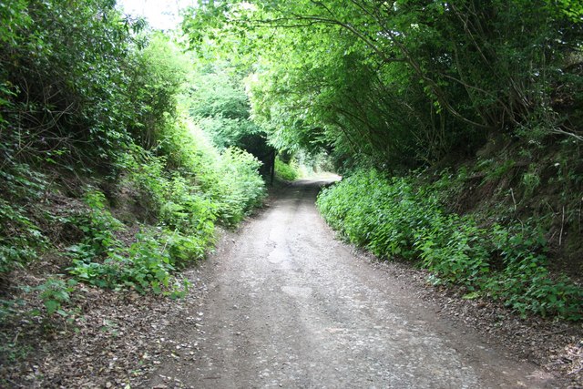
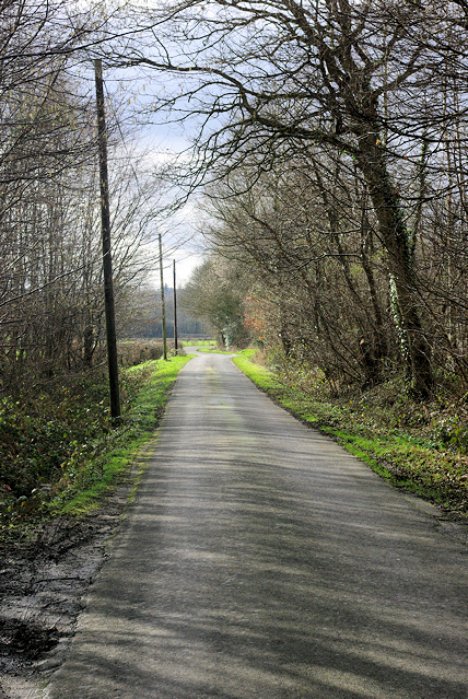
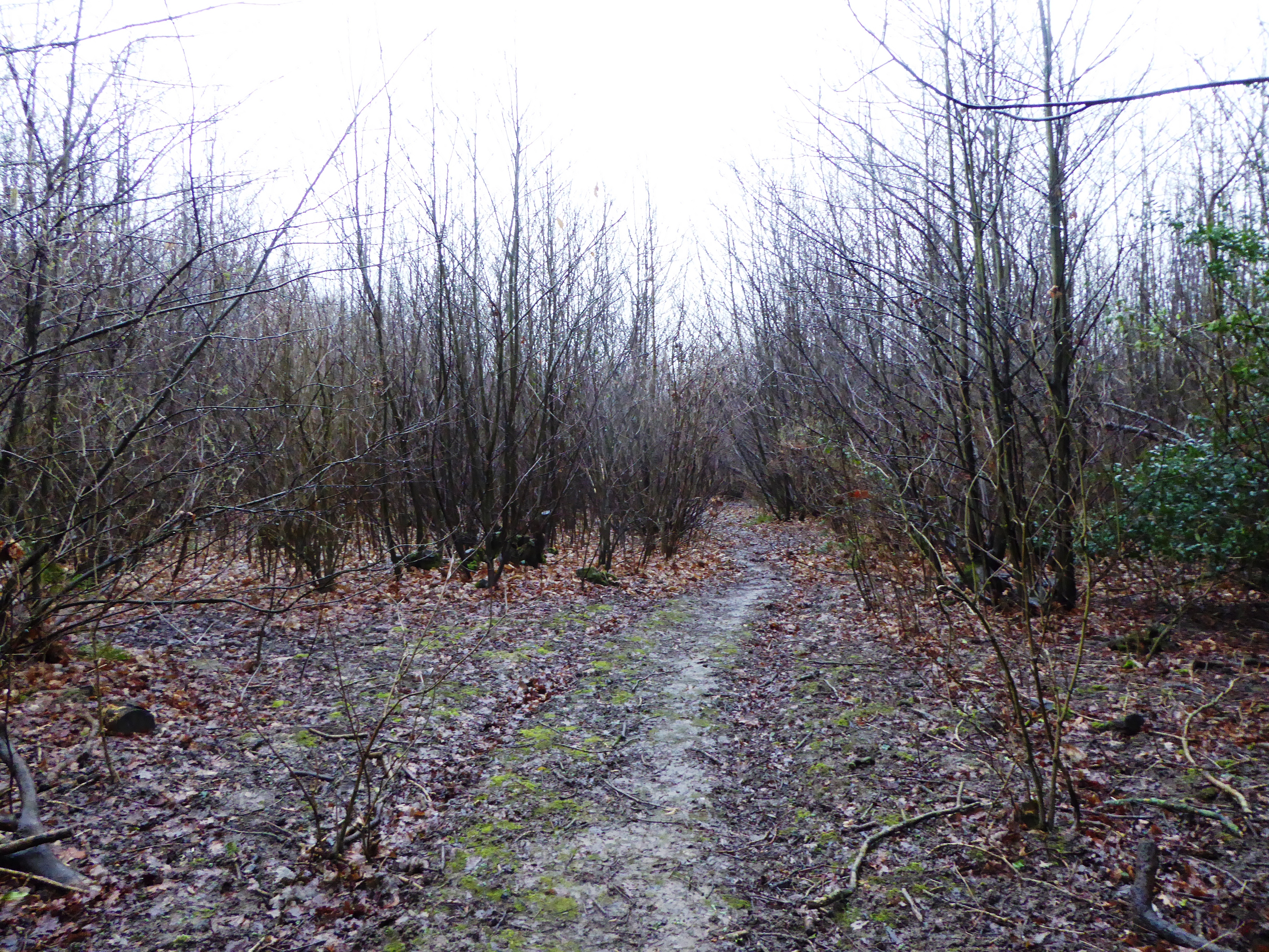
Brewers Wood is a beautiful woodland located in the county of Kent, England. Situated near the village of Brewers, it is a popular destination for nature enthusiasts and those seeking tranquility amidst a picturesque setting. The wood covers an area of approximately 50 acres and is predominantly made up of native broadleaf trees, including oak, beech, and ash.
The woodland is known for its diverse wildlife, providing a habitat for numerous species. Visitors to Brewers Wood may spot a variety of birds, such as woodpeckers, owls, and finches, as well as mammals like foxes, badgers, and squirrels. The wood is also home to a range of plants and wildflowers, which add to its natural beauty.
There are several walking trails that wind through the wood, allowing visitors to explore and appreciate the surroundings at their own pace. These paths are well-maintained and suitable for all levels of walkers, making Brewers Wood an ideal destination for families and individuals looking to enjoy a leisurely stroll or a more vigorous hike.
In addition to its natural attractions, Brewers Wood offers facilities for picnicking, making it a popular spot for family outings and gatherings. There are also benches scattered throughout the wood, providing peaceful spots for relaxation and contemplation.
Brewers Wood is easily accessible by car, with ample parking available nearby. It is open to visitors throughout the year, with no entry fee required. Whether for a peaceful walk, birdwatching, or simply immersing oneself in nature, Brewers Wood offers a rejuvenating experience amidst the stunning Kentish countryside.
If you have any feedback on the listing, please let us know in the comments section below.
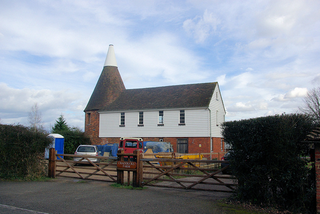
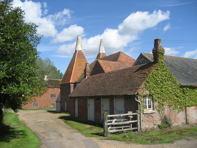
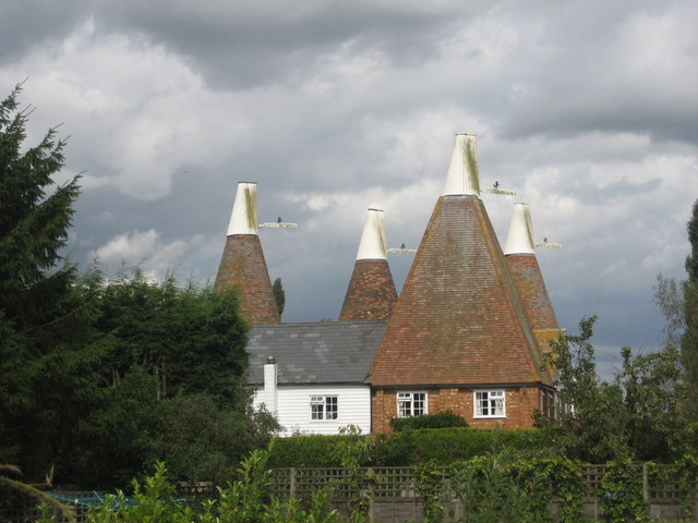
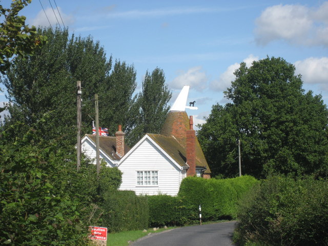
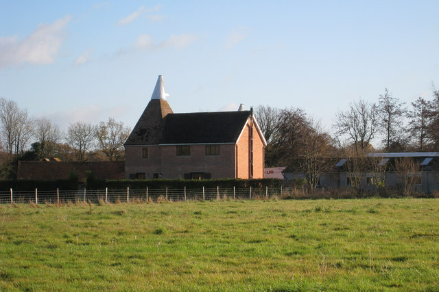
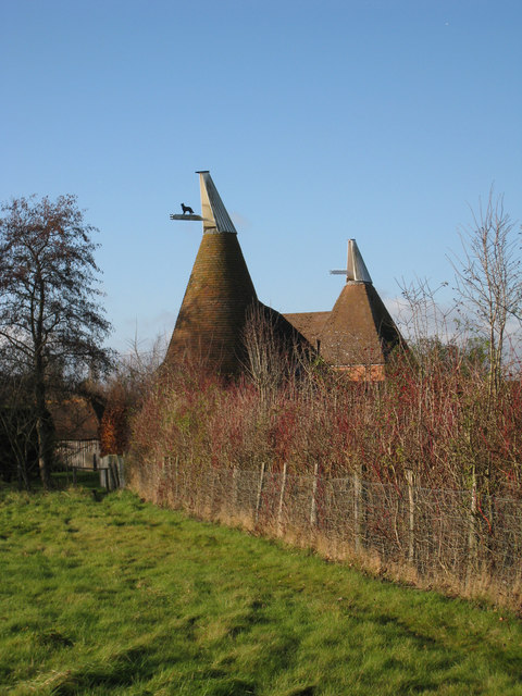
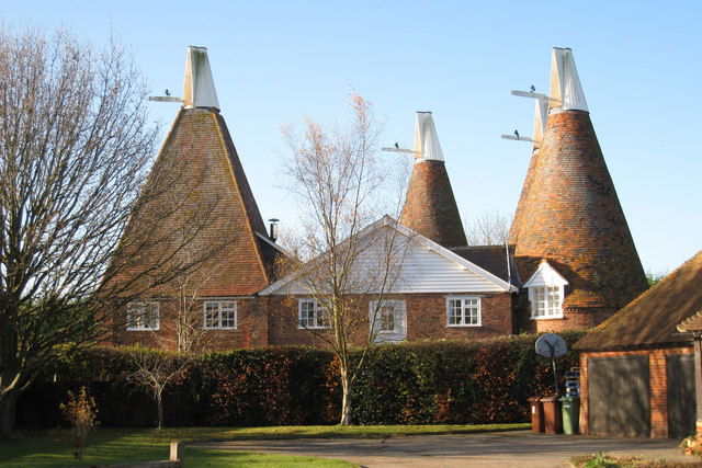
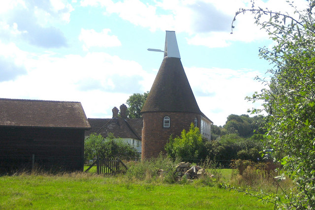
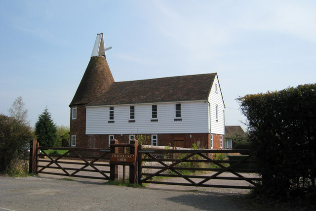
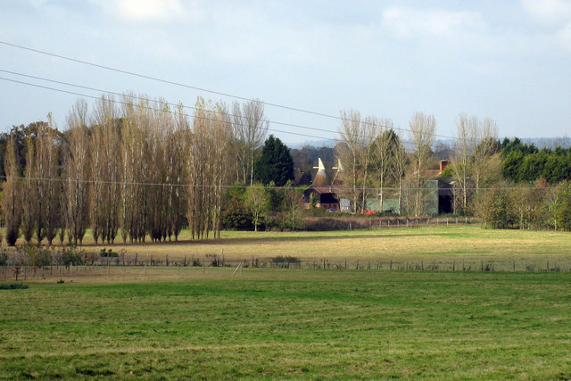
Brewers Wood Images
Images are sourced within 2km of 51.125172/0.54767238 or Grid Reference TQ7839. Thanks to Geograph Open Source API. All images are credited.


Brewers Wood is located at Grid Ref: TQ7839 (Lat: 51.125172, Lng: 0.54767238)
Administrative County: Kent
District: Tunbridge Wells
Police Authority: Kent
What 3 Words
///practical.frostbite.asked. Near Sissinghurst, Kent
Nearby Locations
Related Wikis
Sissinghurst Park Wood
Sissinghurst Park Wood is a 31.1-hectare (77-acre) biological Site of Special Scientific Interest north-east of Sissinghurst Kent.This wood is mainly sweet...

Sissinghurst
Sissinghurst is a small village in the borough of Tunbridge Wells in Kent, England. Originally called Milkhouse Street (also referred to as Mylkehouse...
Iden Green
Iden Green is a small village, near Benenden, in the county of Kent. It belongs to the civil parish of Benenden and the Tunbridge Wells Borough District...

Swifts Park
Swifts Park is a former country estate and manor house 1 mile (1.6 km) north-east of the town of Cranbrook in the English county of Kent. Through its history...

Colliers Green
Colliers Green is a village near Cranbrook in Kent, England. Colliers Green School, a Church of England primary school, is located at the centre of the...
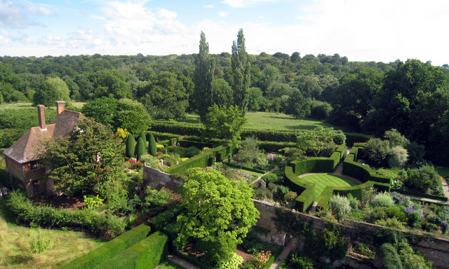
Sissinghurst Castle Garden
Sissinghurst Castle Garden, at Sissinghurst in the Weald of Kent in England, was created by Vita Sackville-West, poet and writer, and her husband Harold...
School Field, Cranbrook
School Field Ground is a sports ground owned by Cranbrook School located in the town of Cranbrook, Kent. It is known by the school as Big Side Playing...
High Weald Academy
The High Weald Academy was a coeducational secondary school that opened in 1971 located in Cranbrook, Kent, England. The academy permanently closed in...
Nearby Amenities
Located within 500m of 51.125172,0.54767238Have you been to Brewers Wood?
Leave your review of Brewers Wood below (or comments, questions and feedback).