Beech Wood

Wood, Forest in Norfolk Breckland

England

Beech Wood

Barley field near Beechfeidl House
Barley field near Beechfeidl House Credit: Jonathan Thacker

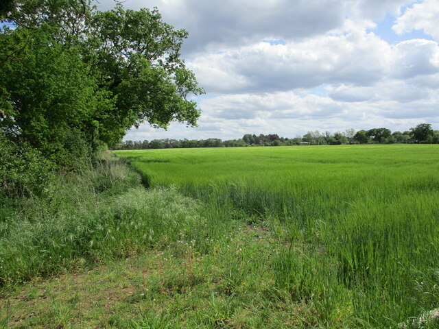
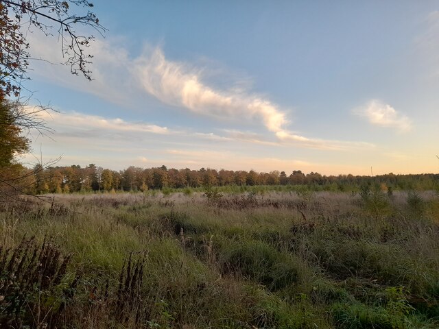
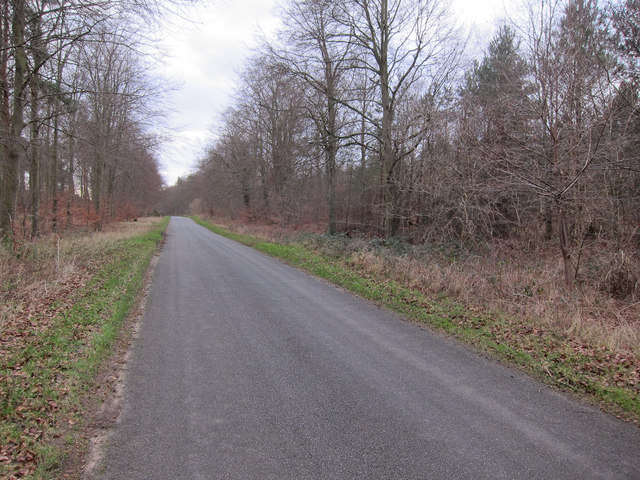
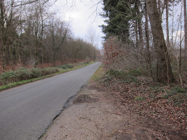
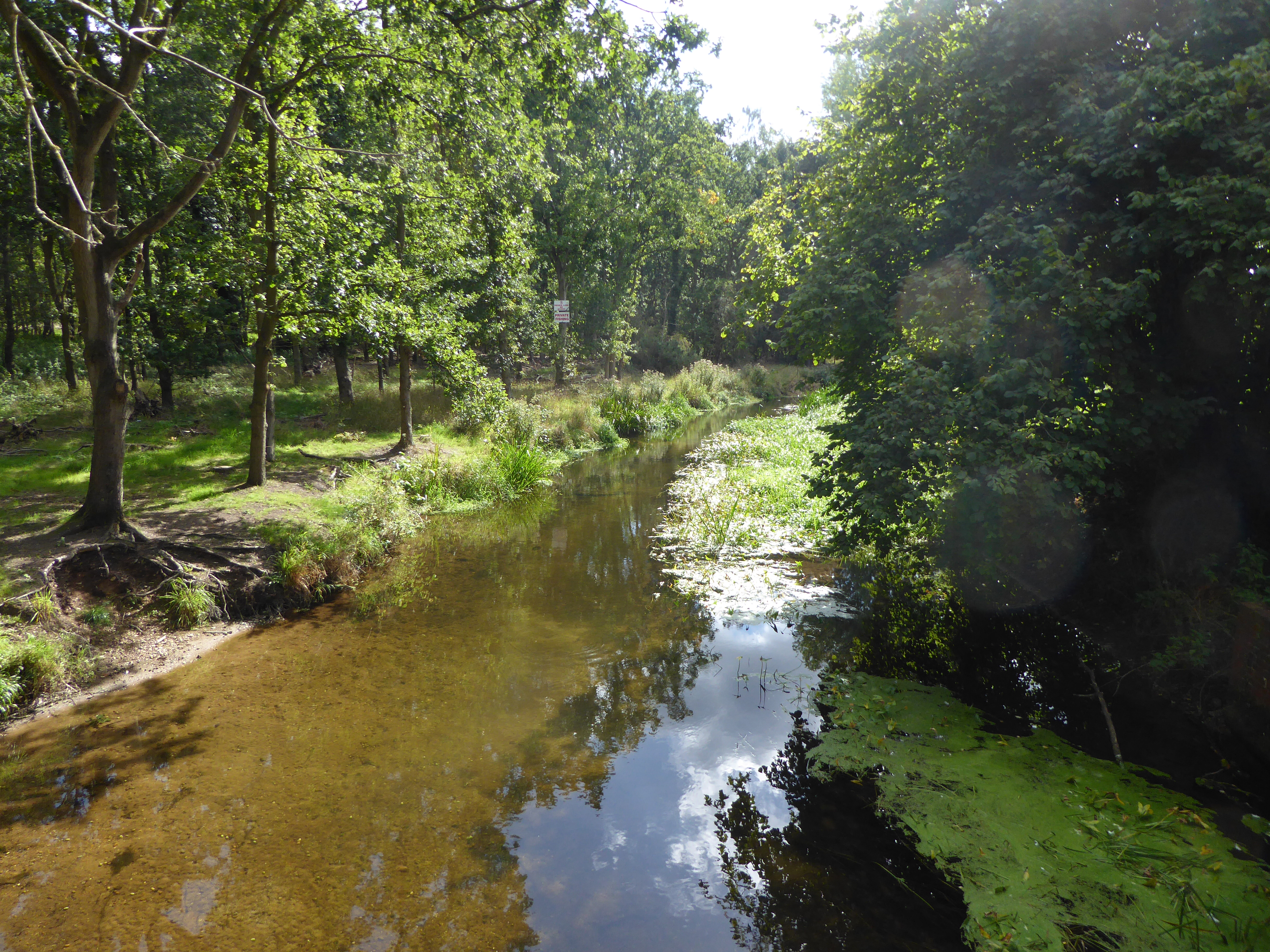
Beech Wood is a picturesque forest located in Norfolk, England. Covering an area of approximately 100 acres, it is known for its dense population of beech trees, after which it is named. The wood is situated in a rural area, offering a peaceful and tranquil setting for visitors.

The forest is home to a variety of wildlife, including birds, mammals, and insects. Visitors can often spot species such as woodpeckers, deer, rabbits, and squirrels as they explore the woodland trails. The diverse ecosystem within Beech Wood provides a valuable habitat for these creatures, making it a popular destination for wildlife enthusiasts and nature lovers.

The wood itself is characterized by its majestic beech trees, which dominate the landscape with their towering presence. Their smooth gray bark and vibrant green leaves create a stunning visual contrast against the backdrop of the forest floor. During the autumn months, the beech trees shed their leaves, creating a vibrant tapestry of red, orange, and gold hues.

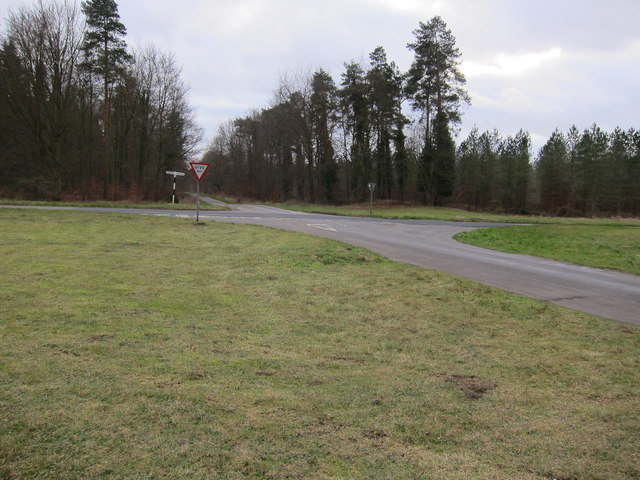
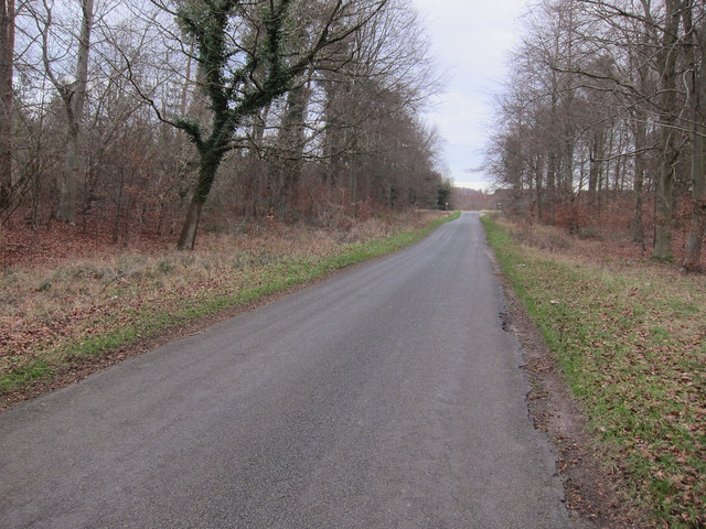
Beech Wood offers a range of recreational activities for visitors. There are well-maintained walking trails that meander through the forest, allowing visitors to explore the natural beauty at their own pace. Additionally, the wood provides ample opportunities for birdwatching, photography, and picnicking.

Overall, Beech Wood in Norfolk is a captivating destination that showcases the beauty of nature. With its diverse wildlife, stunning beech trees, and tranquil atmosphere, it offers a delightful experience for anyone seeking a peaceful retreat in the heart of the English countryside.

If you have any feedback on the listing, please let us know in the comments section below.

Beech Wood Images

Images are sourced within 2km of 52.517491/0.62356262 or Grid Reference TL7894. Thanks to Geograph Open Source API. All images are credited.

Barley field near Beechfeidl House
Young Forest This section looks to have been replanted.
Young Forest
This section looks to have been replanted.
Memorial to crew-members of a Lancaster HK773 LS-W, XV sqdn They had just taken off from Mildenhall at 11 AM on 22nd March 1945 when the plane crashed in the nearby forest. The crew of seven all died. 
A member of a sister crew is also remembered.
Memorial to crew-members of a Lancaster HK773 LS-W, XV sqdn
They had just taken off from Mildenhall at 11 AM on 22nd March 1945 when the plane crashed in the nearby forest. The crew of seven all died. A member of a sister crew is also remembered.
Road Junction Road junction on a sunny day near to Cranwich, Norfolk.
Road Junction
Road junction on a sunny day near to Cranwich, Norfolk.
Minor crossroads Looking along Foss Ditch.
Minor crossroads
Looking along Foss Ditch.
Minor Breckland road With Cranwich Heath on the right and Foss Ditch on the left. There are two thin strips of deciduous trees along the road, with conifer plantations behind.
Minor Breckland road
With Cranwich Heath on the right and Foss Ditch on the left. There are two thin strips of deciduous trees along the road, with conifer plantations behind.
Minor Breckland road With Cranwich Heath on the left and Foss Ditch on the right. There are two thin strips of deciduous trees along the road, with conifer plantations behind.
Minor Breckland road
With Cranwich Heath on the left and Foss Ditch on the right. There are two thin strips of deciduous trees along the road, with conifer plantations behind.
Conifer plantation With the ride blocked off with brash.
Conifer plantation
With the ride blocked off with brash.
Cranwich Heath Marked as woodland on the map but now clear. It has not been replanted as part of the expansion of the open heathland in this area.
Cranwich Heath
Marked as woodland on the map but now clear. It has not been replanted as part of the expansion of the open heathland in this area.
Cranwich Heath parking This area of heathland is being restored and expanded, but there is still open access.
Cranwich Heath parking
This area of heathland is being restored and expanded, but there is still open access.
Cranwich Camp sign Giving details of the heathland restoration and expansion.
Cranwich Camp sign
Giving details of the heathland restoration and expansion.
Cranwich Heath An area of heathland, being restored.
Cranwich Heath
An area of heathland, being restored.
Cranwich Heath sign Norfolk Wildlife Trust sign about the grazing on the heath. NWT have a 'Flying Flock' of sheep that are moved around the reserves to provide grazing where it's needed.
Cranwich Heath sign
Norfolk Wildlife Trust sign about the grazing on the heath. NWT have a 'Flying Flock' of sheep that are moved around the reserves to provide grazing where it's needed.
Road through Cranwich Heath Part of Thetford Forest.
Road through Cranwich Heath
Part of Thetford Forest.
Minor road across Cranwich Heath There are conifer plantations behind the strip of deciduous trees along the road.
Minor road across Cranwich Heath
There are conifer plantations behind the strip of deciduous trees along the road.
Cranwich Heath Heathland restoration area in the Brecks. This area was a conifer plantation but has not been replanted after harvesting. The area has been fenced to allow a grazing regime to help grassy heath regenerate. Conifer plantations were first planted here in 1929, by the Forestry Commission.
Cranwich Heath
Heathland restoration area in the Brecks. This area was a conifer plantation but has not been replanted after harvesting. The area has been fenced to allow a grazing regime to help grassy heath regenerate. Conifer plantations were first planted here in 1929, by the Forestry Commission.
Cranwich Heath sign Giving details of the heathland restoration in this area.
Cranwich Heath sign
Giving details of the heathland restoration in this area.
Cranwich Heath Limited parking by the track to Cranwich Heath.
Cranwich Heath
Limited parking by the track to Cranwich Heath.
Show me another place!

Beech Wood is located at Grid Ref: TL7894 (Lat: 52.517491, Lng: 0.62356262)

Administrative County: Norfolk

District: Breckland

Police Authority: Norfolk

What 3 Words

///wriggle.swept.tonality. Near Mundford, Norfolk

Nearby Locations

Beech Wood

Related Wikis

Cranwich

Cranwich is a village and civil parish in the English county of Norfolk, about 2 miles (3.2 km) northwest of Mundford. For the purposes of local government...

Cranwich Camp

Cranwich Camp is a 13.1-hectare (32-acre) biological Site of Special Scientific Interest north-west of Thetford in Norfolk. It is part of the Breckland...

Didlington Park Lakes

Didlington Park Lakes is a 26.1-hectare (64-acre) biological Site of Special Scientific Interest south of Didlington in Norfolk.These three artificial...

Mundford

Mundford is a village and civil parish in the English county of Norfolk. It is situated at the intersection of two major routes, the A134 Colchester to...

South West Norfolk (UK Parliament constituency)

South West Norfolk is a constituency represented in the House of Commons of the UK Parliament since 2010 by Liz Truss of the Conservative Party, who briefly...

The Brinks, Northwold

The Brinks, Northwold or Northwold Meadows is a 16.4-hectare (41-acre) biological Site of Special Scientific Interest south of Northwold in Norfolk, England...

Ickburgh

Ickburgh is a village and civil parish in the English county of Norfolk. It is situated on the A1065 Mildenhall to Fakenham road, some 5.5 miles (8.9 km...

Didlington

Didlington is a village in the Breckland district of mid-Norfolk, East Anglia, England in the United Kingdom. It has an area of 11.07 km2 (4.27 sq mi)...

Nearby Amenities

Located within 500m of 52.517491,0.62356262
Barrier: bar
Lat/Long: 52.5142165/0.6280976
Power: pole
Lat/Long: 52.5151901/0.6292382
Power: pole
Lat/Long: 52.5153803/0.6258599
Power: pole
Lat/Long: 52.5154602/0.6243539
Power: pole
Lat/Long: 52.5155443/0.6228022
Power: pole
Lat/Long: 52.515632/0.6215731
Power: pole
Lat/Long: 52.5164216/0.6202508
Power: pole
Lat/Long: 52.5181134/0.6174901
Power: pole
Lat/Long: 52.5183256/0.6171642
Fixme: incomplete
Lat/Long: 52.5155974/0.6184038
The data included in this document is from www.openstreetmap.org. The data is made available under ODbL.

Have you been to Beech Wood?

Leave your review of Beech Wood below (or comments, questions and feedback).