Holmans Wood
Wood, Forest in Sussex Rother
England
Holmans Wood

The requested URL returned error: 429 Too Many Requests
If you have any feedback on the listing, please let us know in the comments section below.
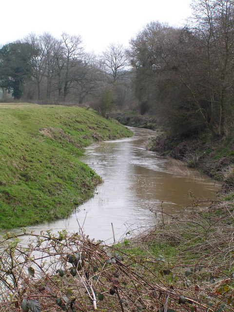
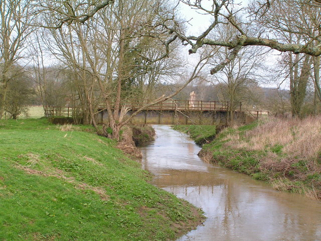
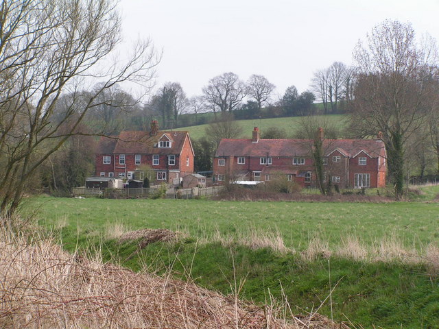
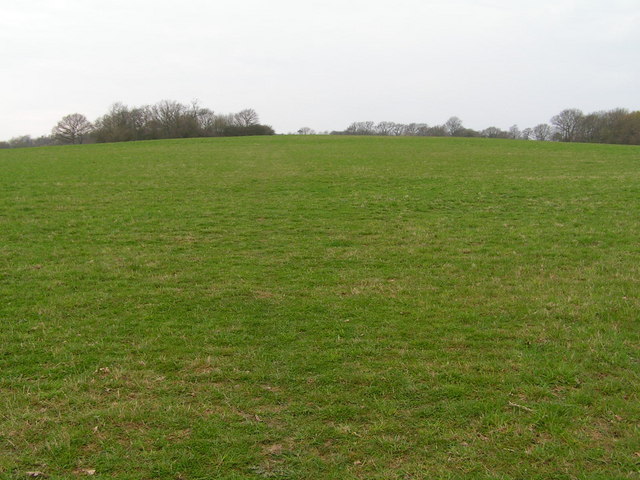
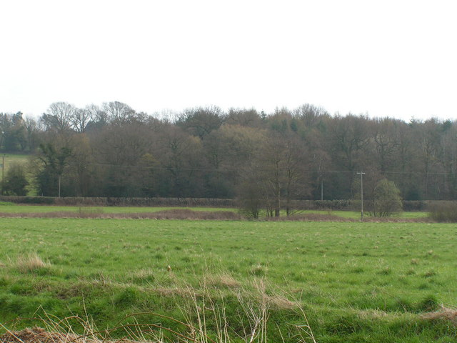
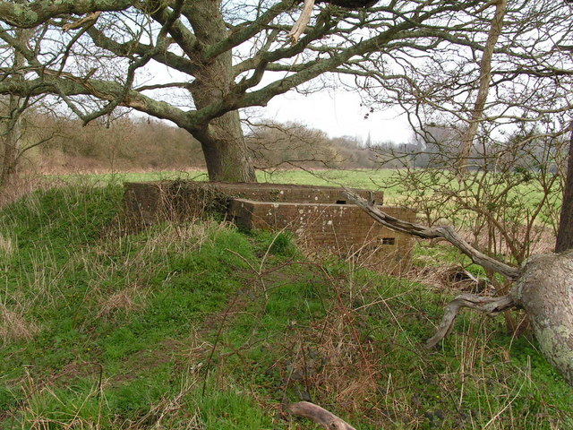
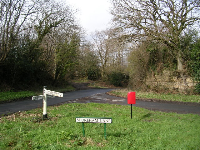
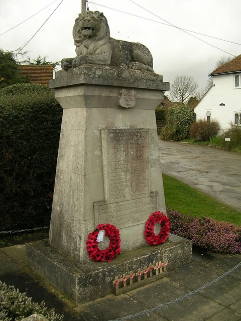
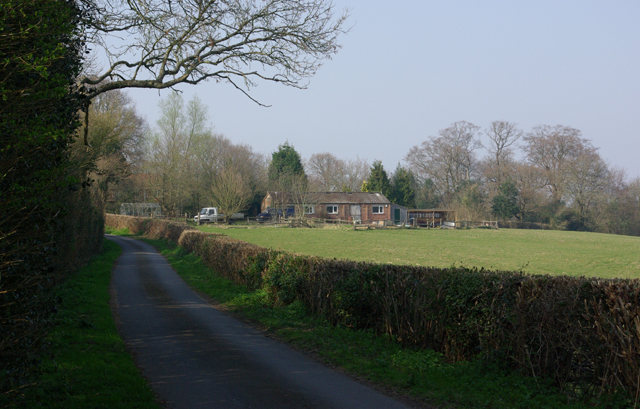
Holmans Wood Images
Images are sourced within 2km of 50.984796/0.52765179 or Grid Reference TQ7723. Thanks to Geograph Open Source API. All images are credited.


Holmans Wood is located at Grid Ref: TQ7723 (Lat: 50.984796, Lng: 0.52765179)
Administrative County: East Sussex
District: Rother
Police Authority: Sussex
What 3 Words
///repair.inventors.theory. Near Robertsbridge, East Sussex
Nearby Locations
Related Wikis

Junction Road Halt railway station
Junction Road Halt, also known as Junction Road (for Hawkhurst), was a halt station on the Kent and East Sussex Railway. It was located on the eastern...
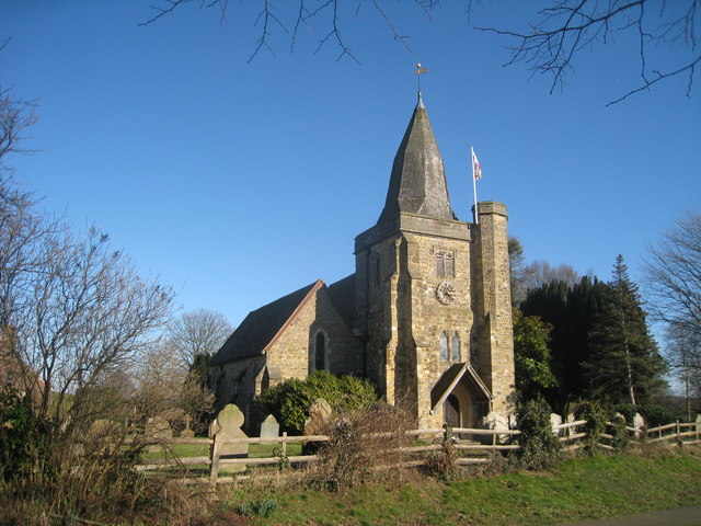
Ewhurst, East Sussex
Ewhurst is a civil parish in the Rother district of East Sussex, England. The parish is on the southern ridge of the River Rother valley, and much of the...
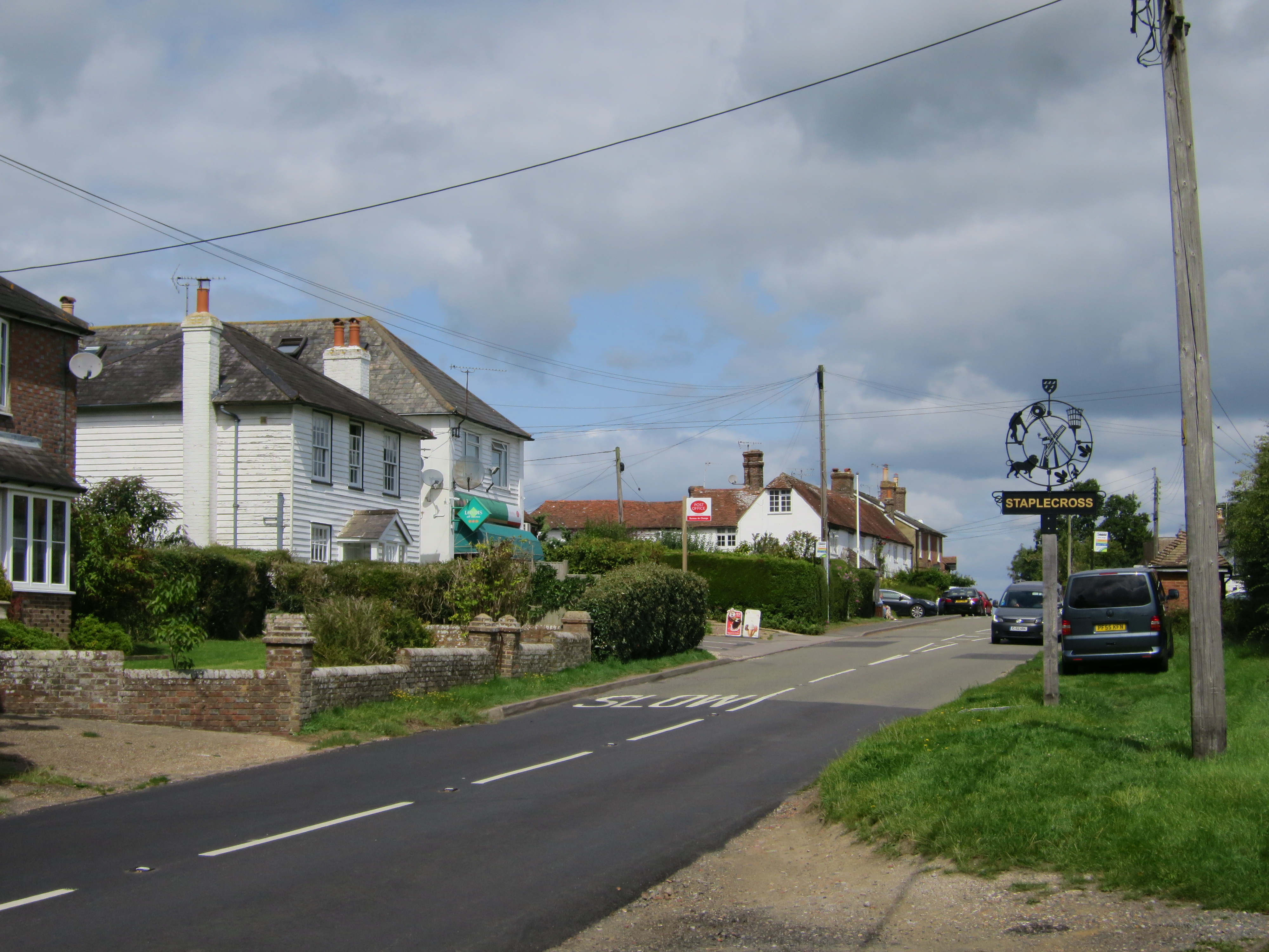
Staplecross
Staplecross is a village in the civil parish of Ewhurst and the Rother district of East Sussex, England. Staplecross is the largest settlement in Ewhurst...
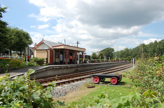
Bodiam railway station
Bodiam railway station is a heritage railway station on the Kent and East Sussex Railway in Bodiam, East Sussex. == History == Situated half a mile from...
Have you been to Holmans Wood?
Leave your review of Holmans Wood below (or comments, questions and feedback).