Firby
Settlement in Yorkshire Ryedale
England
Firby

Firby is a small village located in the Ryedale district of North Yorkshire, England. Situated approximately 3 miles northeast of the market town of Malton, Firby is surrounded by picturesque countryside, offering residents and visitors a tranquil and scenic environment.
With a population of around 200 people, Firby is known for its close-knit community and friendly atmosphere. The village is predominantly residential, with a mix of traditional stone-built houses and more modern properties. The architecture reflects a blend of historical and contemporary styles, adding character to the village.
Despite its small size, Firby has a range of amenities to cater to the needs of its residents. These include a village hall, where various community events and gatherings take place, a primary school, and a local pub serving traditional Yorkshire fare. Additionally, Firby benefits from its proximity to Malton, which offers a wider range of amenities such as shops, supermarkets, and leisure facilities.
The village's location provides easy access to the stunning North York Moors National Park, making it an ideal base for outdoor enthusiasts and nature lovers. The surrounding area offers numerous walking and cycling routes, allowing visitors to explore the breathtaking landscapes and enjoy the abundance of wildlife.
In summary, Firby is a charming village in the heart of North Yorkshire, offering a peaceful setting, a close community, and convenient access to both rural and urban amenities.
If you have any feedback on the listing, please let us know in the comments section below.
Firby Images
Images are sourced within 2km of 54.088116/-0.861002 or Grid Reference SE7466. Thanks to Geograph Open Source API. All images are credited.


Firby is located at Grid Ref: SE7466 (Lat: 54.088116, Lng: -0.861002)
Division: North Riding
Administrative County: North Yorkshire
District: Ryedale
Police Authority: North Yorkshire
What 3 Words
///grounding.press.beard. Near Malton, North Yorkshire
Nearby Locations
Related Wikis

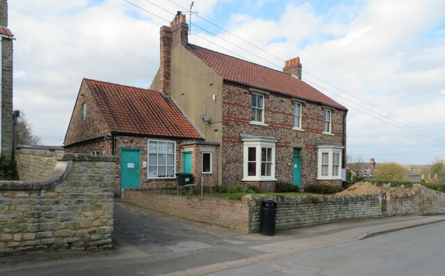
Firby, Ryedale
Firby is a village in the civil parish of Westow, in North Yorkshire, England, 4 miles (6 km) south west of Malton. Firby was historically a township in...

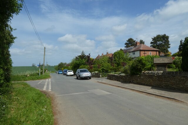
Kirkham, North Yorkshire
Kirkham is a village in the civil parish of Westow, in North Yorkshire, England, close to Malton, situated in the Howardian Hills alongside the River Derwent...
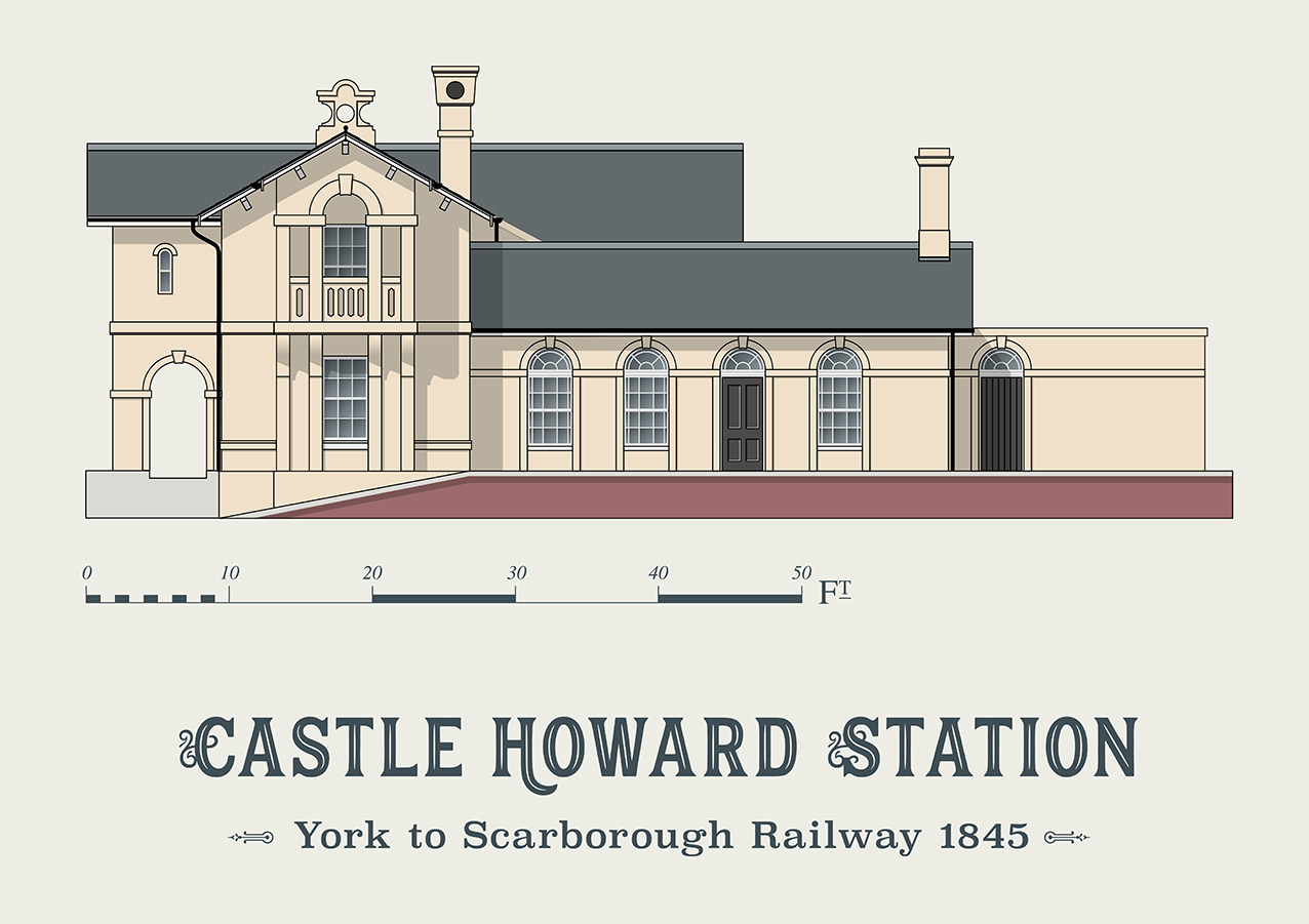
Castle Howard railway station
Castle Howard railway station was a minor railway station serving the village of Welburn and the stately home at Castle Howard in North Yorkshire, England...
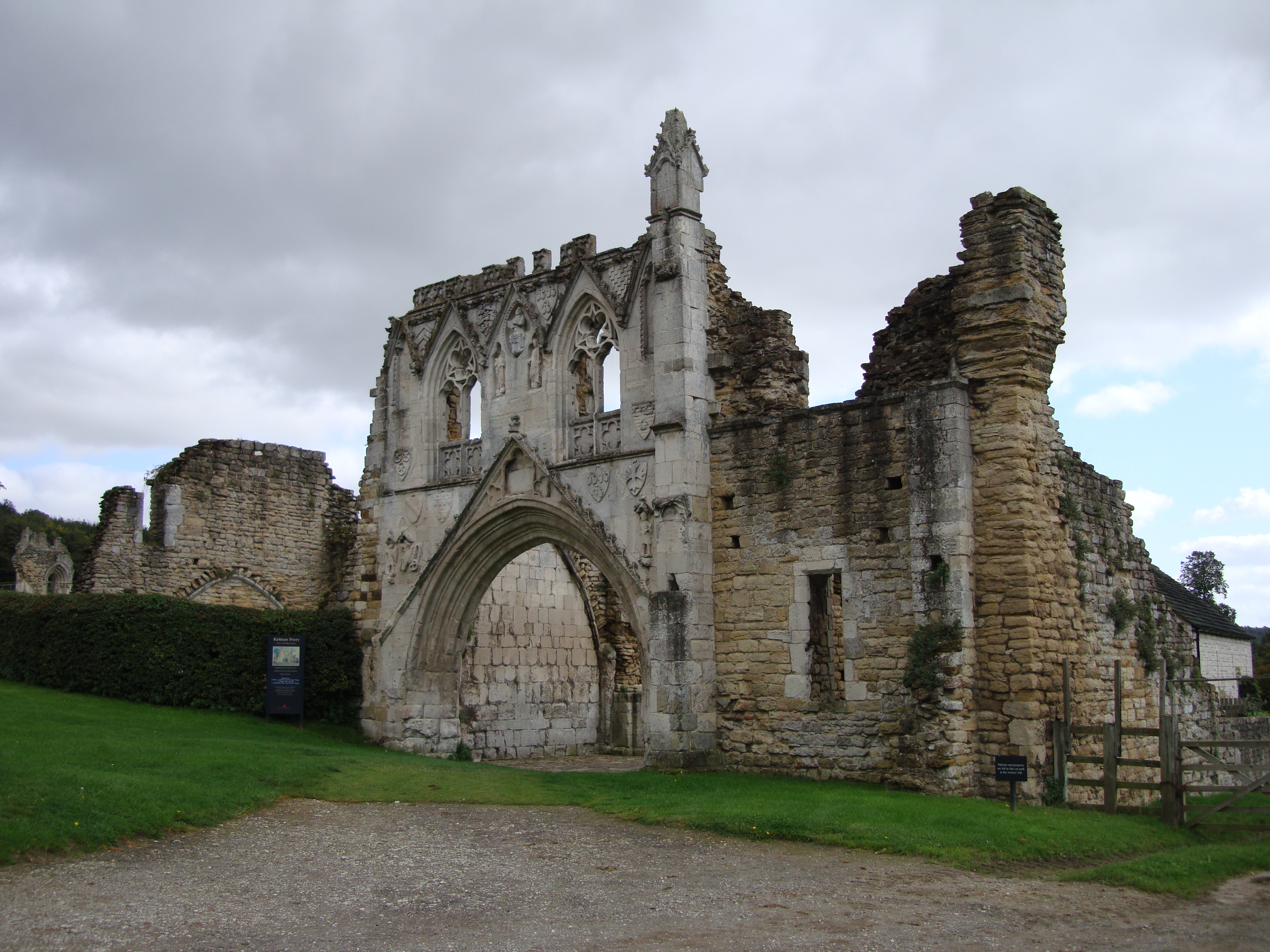
Kirkham Priory
The ruins of Kirkham Priory are situated on the banks of the River Derwent, at Kirkham, North Yorkshire, England. The Augustinian priory was founded in...
Nearby Amenities
Located within 500m of 54.088116,-0.861002Have you been to Firby?
Leave your review of Firby below (or comments, questions and feedback).