Atherington
Settlement in Sussex Arun
England
Atherington
Atherington is a small village located in the county of Sussex, England. Situated in the district of Arun, it is nestled in the picturesque landscape of the South Downs National Park. The village has a population of around 500 residents, creating a close-knit and friendly community atmosphere.
Atherington boasts a rich history that can be traced back to the Anglo-Saxon era. The village is known for its charming, traditional English cottages and historic buildings, which add to its overall character. The local church, St. Mary's, is a prominent feature in the village, showcasing stunning medieval architecture.
The surrounding countryside provides ample opportunities for outdoor enthusiasts to explore and enjoy various activities. The rolling hills and scenic trails of the South Downs National Park offer breathtaking views and are popular with hikers, cyclists, and nature lovers.
Although Atherington is a small village, it offers a range of amenities to its residents and visitors. There is a local pub, The Plough Inn, which serves traditional pub food and beverages, providing a cozy and welcoming environment for locals and tourists alike.
The village is well-connected to neighboring towns and cities through a reliable transportation network. The nearby town of Arundel is just a short drive away, offering additional amenities and attractions. Atherington provides a peaceful and idyllic retreat for those seeking a slower pace of life, surrounded by natural beauty and a strong sense of community.
If you have any feedback on the listing, please let us know in the comments section below.
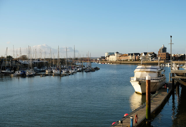
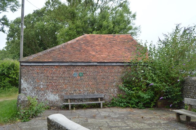
Atherington Images
Images are sourced within 2km of 50.798762/-0.572165 or Grid Reference TQ0000. Thanks to Geograph Open Source API. All images are credited.


Atherington is located at Grid Ref: TQ0000 (Lat: 50.798762, Lng: -0.572165)
Administrative County: West Sussex
District: Arun
Police Authority: Sussex
What 3 Words
///kind.foods.looks. Near Littlehampton, West Sussex
Nearby Locations
Related Wikis
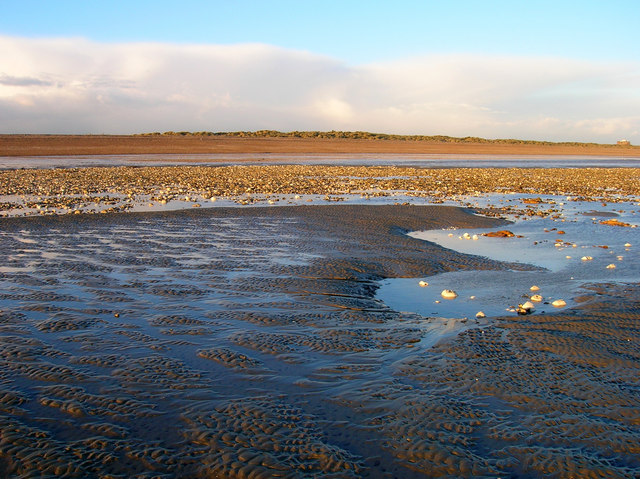
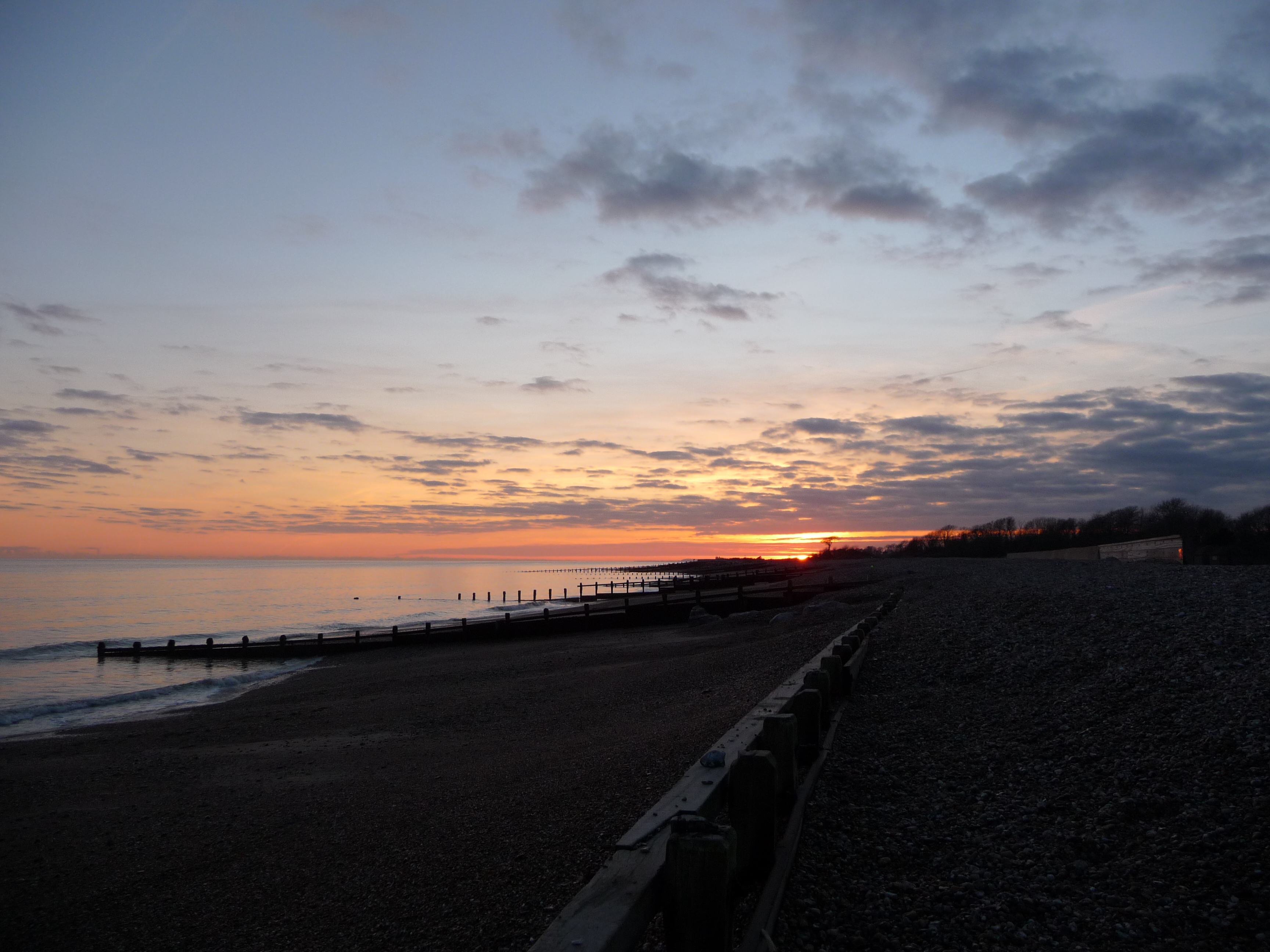
Climping Beach
Climping Beach is a 32.1-hectare (79-acre) biological Site of Special Scientific Interest west of Littlehampton in West Sussex. The eastern half is designated...

Bailiffscourt Chapel
Bailiffscourt Chapel is a deconsecrated chapel in the grounds of Bailiffscourt Hotel, a luxury hotel near the hamlet of Atherington in West Sussex, England...
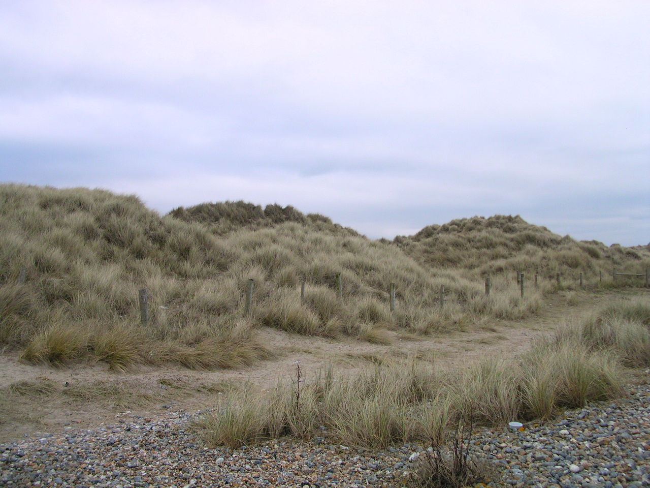
Climping sand dunes
Climping Sand Dunes are a system of dunes at Climping in the Arun District of West Sussex, England located west of Littlehampton. The eastern end of the...
Climping
Climping (also spelt as Clymping) is a village and civil parish containing agricultural and natural sandy land in the Arun District of West Sussex, England...
Nearby Amenities
Located within 500m of 50.798762,-0.572165Have you been to Atherington?
Leave your review of Atherington below (or comments, questions and feedback).