Alder Shaw
Wood, Forest in Sussex Rother
England
Alder Shaw
Alder Shaw, Sussex (also known as Wood or Forest) is a picturesque village located in the county of Sussex, England. Nestled amidst lush greenery and surrounded by dense woodlands, this charming village offers a tranquil escape from the hustle and bustle of city life.
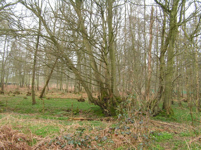
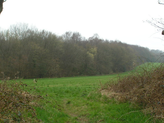
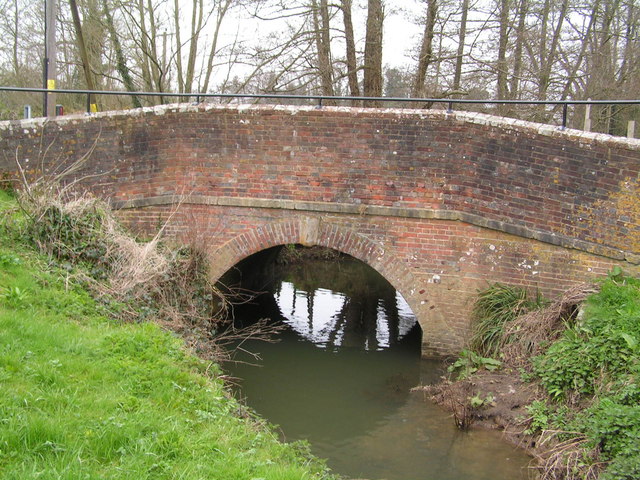
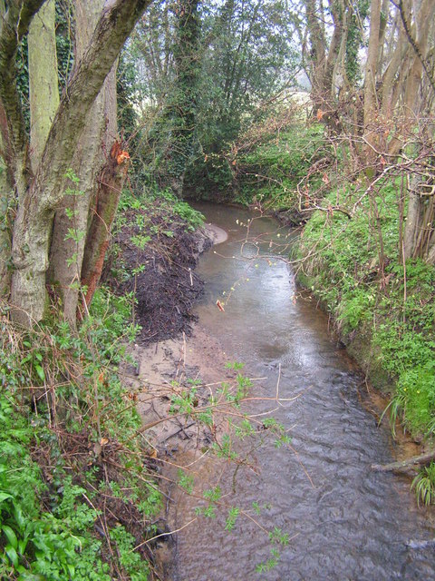
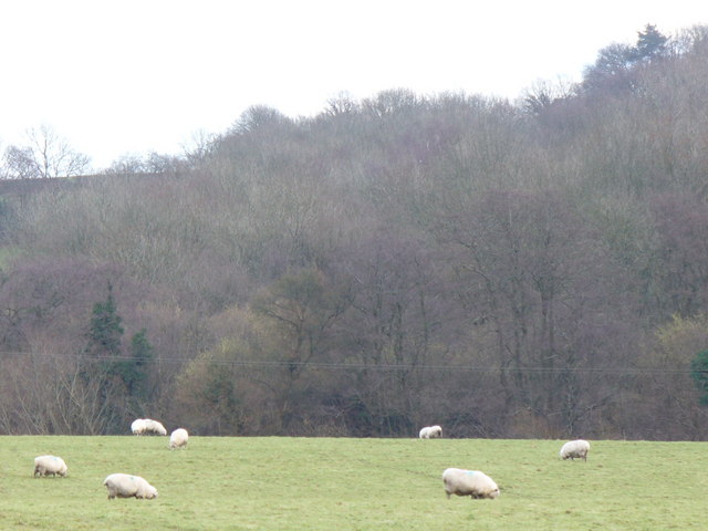
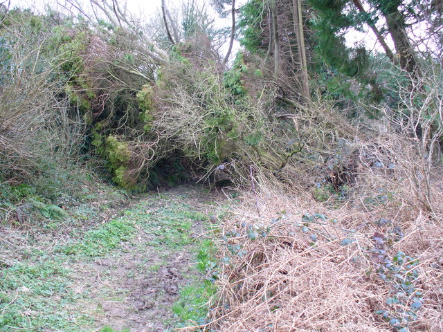
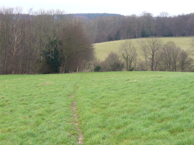
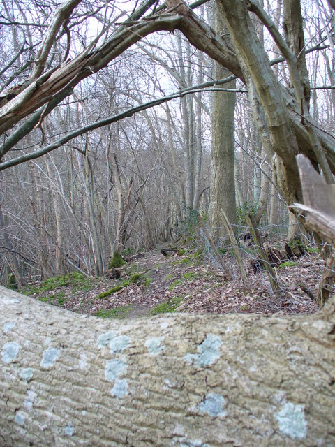
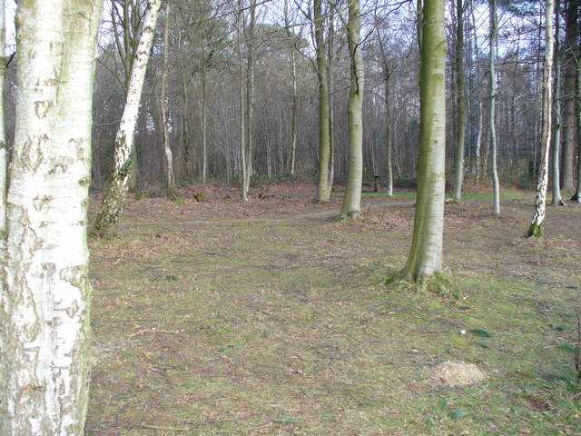
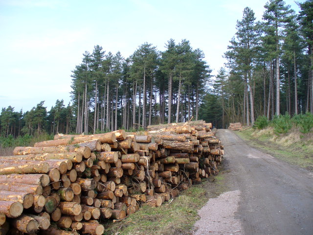
Alder Shaw is characterized by its stunning natural beauty, with an abundance of alder trees that give the village its name. These trees create a serene atmosphere and provide a habitat for various species of birds and wildlife. The village is also home to a small, meandering river that adds to its idyllic charm.
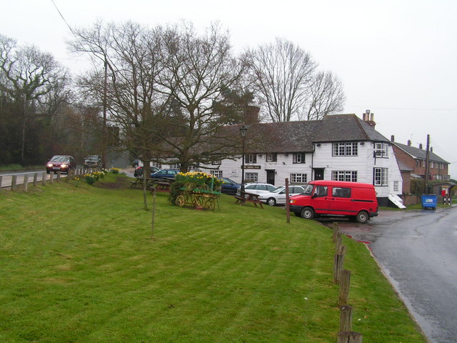
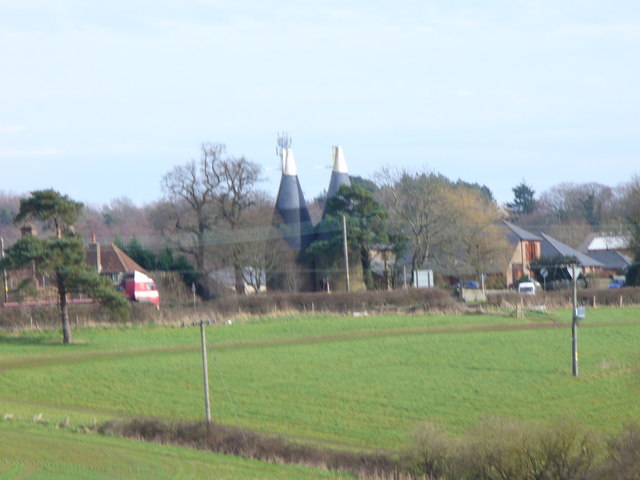
The village itself is relatively small, with a close-knit community of residents who take great pride in their surroundings. The houses in Alder Shaw are predominantly traditional cottages, constructed with local materials, which add to the village's rustic charm.
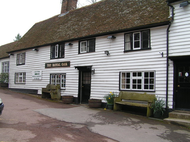
Despite its small size, Alder Shaw offers a range of amenities for its residents. The village has a quaint local pub, where locals and visitors can enjoy a pint of ale and traditional British cuisine. There is also a small village shop that caters to the daily needs of the residents.
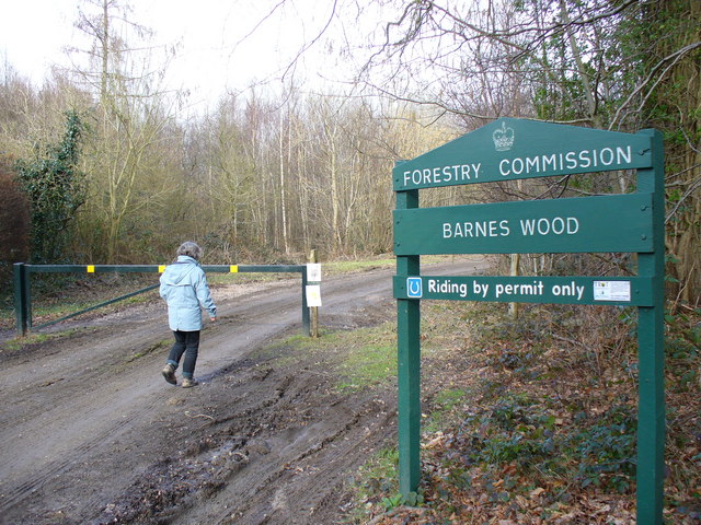
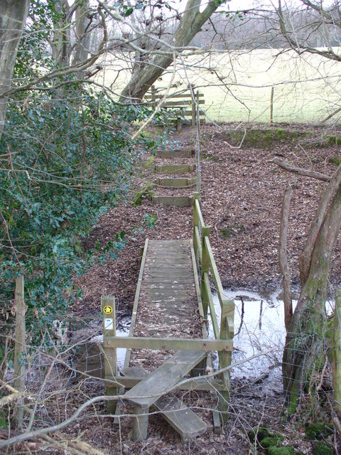
For outdoor enthusiasts, Alder Shaw offers numerous walking and hiking trails, allowing visitors to explore the surrounding woodlands and enjoy breathtaking views of the countryside. In the autumn months, the village comes alive with vibrant colors as the leaves on the trees change, creating a picturesque backdrop for nature lovers and photographers.
Overall, Alder Shaw, Sussex (Wood, Forest) is a hidden gem that offers a peaceful retreat in the heart of nature. With its stunning landscapes, friendly community, and range of outdoor activities, it is a haven for those seeking a slower pace of life.
If you have any feedback on the listing, please let us know in the comments section below.
Alder Shaw Images
Images are sourced within 2km of 50.945991/0.52245628 or Grid Reference TQ7719. Thanks to Geograph Open Source API. All images are credited.
Alder Shaw is located at Grid Ref: TQ7719 (Lat: 50.945991, Lng: 0.52245628)
Administrative County: East Sussex
District: Rother
Police Authority: Sussex
What 3 Words
///nightlife.badminton.shells. Near Battle, East Sussex
Nearby Locations
Related Wikis

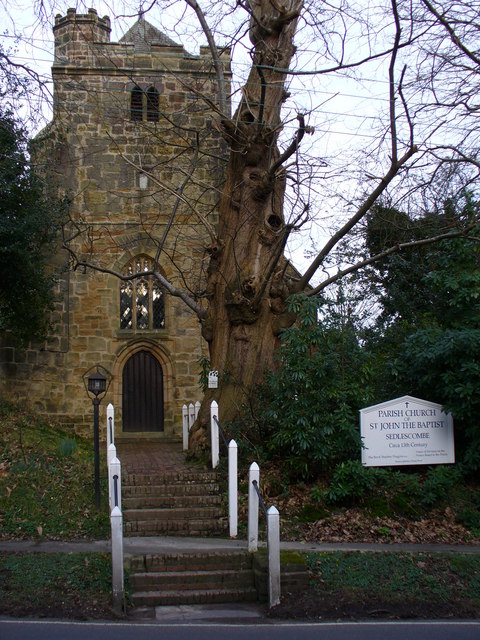
Durhamford Manor
Durhamford Manor is a Grade II* listed country house in the parish of Sedlescombe, East Sussex, England. The timber-framed, close-studded house dates to...

Whatlington
Whatlington is a village and civil parish in the Rother district of East Sussex, England. The village is seven miles (11 km) north of Hastings, just off...

Sedlescombe vineyard
Sedlescombe organic vineyard is an English vineyard located in Robertsbridge, just outside Sedlescombe in East Sussex.It is one of the few British vineyards...

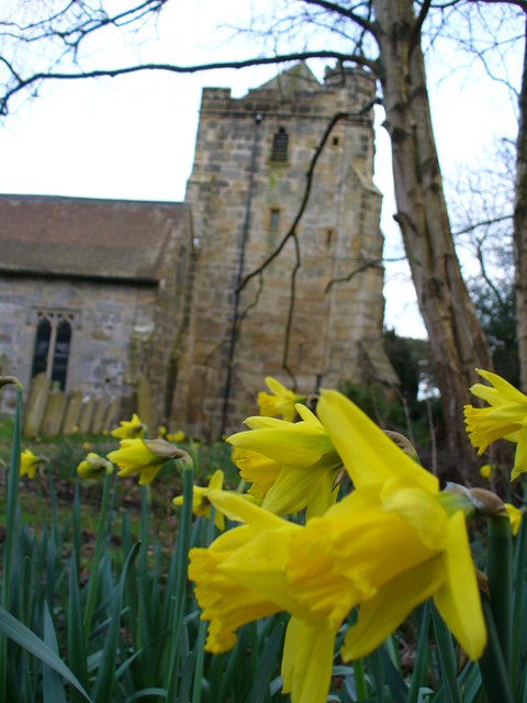
Sedlescombe
Sedlescombe is a village and civil parish in the Rother district of East Sussex, England. The village is on the B2244 road, about 6 miles (10 km) north...

Cripps Corner
Cripps Corner is a village in the civil parish of Ewhurst and the Rother district of East Sussex, England. It is in the High Weald Area of Outstanding...

Vinehall Street
Vinehall Street (or Vinehall), is a linear settlement in the civil parishes of Mountfield and Whatlington, and the Rother district of East Sussex, England...
Vinehall School
Vinehall School is a co-educational day, boarding school and nursery located at Vinehall Street, near the town of Robertsbridge, East Sussex. It takes...
Mountfield Halt railway station
Mountfield Halt (TQ 746 197 50°57′01″N 0°29′12″E) was situated on the Hastings Line between Robertsbridge and Battle. It opened in 1923 and was closed...
Related Videos


Our first Easter egg hunt! Vlog #6 | Emilie King
Hope you all had a lovely Easter holiday!! Again, just a random vlog of us being weird :) Insta: - emilieking31 ...
![OFFSET APPROACH and TRICKY LANDING! Piper PA32R-300 into SPILSTEAD FARM [HD Pilot VLOG | ATC Audio]](https://i.ytimg.com/vi/ZQdoN2s3lGE/hqdefault.jpg)
OFFSET APPROACH and TRICKY LANDING! Piper PA32R-300 into SPILSTEAD FARM [HD Pilot VLOG | ATC Audio]
I take the Piper PA32R-300 Lance from Lee-on-Solent (EGHF) to Spilstead Farm for it's annual maintenance. Please note, this ...
Nearby Amenities
Located within 500m of 50.945991,0.52245628Have you been to Alder Shaw?
Leave your review of Alder Shaw below (or comments, questions and feedback).