Oak Grove

Wood, Forest in Essex Braintree

England

Oak Grove

Gosfield Airfield This is the crossing point of the Perimeter track and the end of a runway on the former Gosfield Airfield. Gosfield operated from 1943 initially as a fighter station using P47s, later the base was returned to its intended use as a bomber field operating A20s. Late on in the war C47 Dakotas operated Horsa gliders from the base. Today there is a community woodland, industrial units and the Consumers Association <a href="https://www.geograph.org.uk/photo/221160">TL7731 : Speed Test Centre</a> on the base. To go to the next field in an alphabetical tour of Essex WW2 airfields click on <a href="https://www.geograph.org.uk/photo/221175">TL5923 : Great Dunmow Airfield</a>. Much information was gleaned from Graham Smith’s book “Essex Airfields In The Second World War”. <span class="nowrap"><a title="https://books.google.co.uk/books/about/Essex_Airfields_in_the_Second_World_War.html?id=u3atAAAACAAJ&redir_esc=y" rel="nofollow ugc noopener" href="https://books.google.co.uk/books/about/Essex_Airfields_in_the_Second_World_War.html?id=u3atAAAACAAJ&redir_esc=y">Link</a><img style="margin-left:2px;" alt="External link" title="External link - shift click to open in new window" src="https://s1.geograph.org.uk/img/external.png" width="10" height="10"/></span>
Gosfield Airfield Credit: Glyn Baker

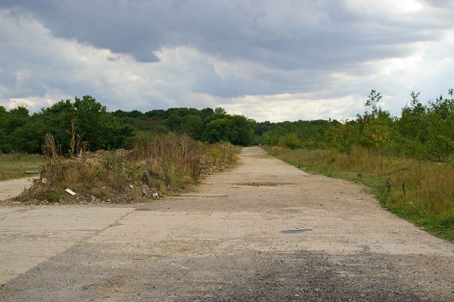
Oak Grove, Essex (Wood, Forest) is a picturesque village located in the county of Essex, England. Situated in the northeastern part of the county, Oak Grove is surrounded by lush greenery and is known for its abundant oak trees, which give the village its name. It is a small, close-knit community with a population of approximately 500 residents.

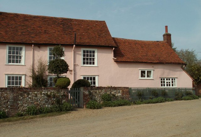
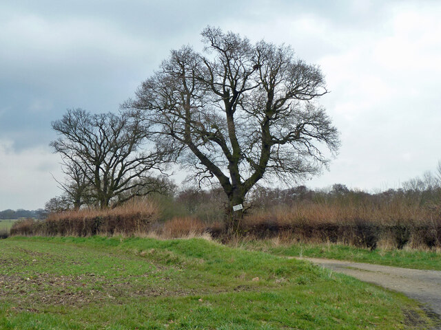
The village is characterized by its charming cottages and traditional architecture, which adds to its quaint and peaceful ambiance. The stunning natural beauty of Oak Grove is enhanced by the presence of ancient woodlands and forests that surround the village. These woodlands are home to a diverse range of flora and fauna, making Oak Grove a haven for nature enthusiasts and birdwatchers.

Despite its rural setting, Oak Grove is conveniently located near major transportation routes, allowing for easy access to nearby towns and cities. The village is serviced by a regular bus service, connecting residents to the wider region. The nearby town of Colchester is a short drive away and offers a range of amenities, including shops, restaurants, and recreational facilities.

Oak Grove is also proud of its strong community spirit, with various social events and activities organized throughout the year. The village has a local pub, where residents can gather and socialize, further fostering a sense of camaraderie.

In summary, Oak Grove, Essex (Wood, Forest) is a charming village known for its natural beauty, ancient woodlands, and welcoming community. Whether one is seeking a peaceful retreat or an opportunity to immerse themselves in nature, Oak Grove offers a tranquil and idyllic setting.

If you have any feedback on the listing, please let us know in the comments section below.

Oak Grove Images

Images are sourced within 2km of 51.946738/0.57536914 or Grid Reference TL7730. Thanks to Geograph Open Source API. All images are credited.

Gosfield Airfield This is the crossing point of the Perimeter track and the end of a runway on the former Gosfield Airfield. Gosfield operated from 1943 initially as a fighter station using P47s, later the base was returned to its intended use as a bomber field operating A20s. Late on in the war C47 Dakotas operated Horsa gliders from the base. Today there is a community woodland, industrial units and the Consumers Association <a href="https://www.geograph.org.uk/photo/221160">TL7731 : Speed Test Centre</a> on the base. To go to the next field in an alphabetical tour of Essex WW2 airfields click on <a href="https://www.geograph.org.uk/photo/221175">TL5923 : Great Dunmow Airfield</a>. Much information was gleaned from Graham Smith’s book “Essex Airfields In The Second World War”. <span class="nowrap"><a title="https://books.google.co.uk/books/about/Essex_Airfields_in_the_Second_World_War.html?id=u3atAAAACAAJ&redir_esc=y" rel="nofollow ugc noopener" href="https://books.google.co.uk/books/about/Essex_Airfields_in_the_Second_World_War.html?id=u3atAAAACAAJ&redir_esc=y">Link</a><img style="margin-left:2px;" alt="External link" title="External link - shift click to open in new window" src="https://s1.geograph.org.uk/img/external.png" width="10" height="10"/></span>
Gosfield Airfield
This is the crossing point of the Perimeter track and the end of a runway on the former Gosfield Airfield. Gosfield operated from 1943 initially as a fighter station using P47s, later the base was returned to its intended use as a bomber field operating A20s. Late on in the war C47 Dakotas operated Horsa gliders from the base. Today there is a community woodland, industrial units and the Consumers Association TL7731 : Speed Test Centre on the base. To go to the next field in an alphabetical tour of Essex WW2 airfields click on TL5923 : Great Dunmow Airfield. Much information was gleaned from Graham Smith’s book “Essex Airfields In The Second World War”. LinkExternal link
C A's Test Track This runway on the former <a href="https://www.geograph.org.uk/photo/221155">TL7830 : Gosfield Airfield</a> is where the Consumers Association do the research to obtain data for their vehicle tests.
C A's Test Track
This runway on the former TL7830 : Gosfield Airfield is where the Consumers Association do the research to obtain data for their vehicle tests.
Gosfield Perimeter Track This is the perimeter track of the former <a href="https://www.geograph.org.uk/photo/221155">TL7830 : Gosfield Airfield</a> the trees on the right are part of the Gosfield Community Woodland Scheme <span class="nowrap"><a title="http://www.gosfield.org.uk/visit.htm#Community%20Woodland" rel="nofollow ugc noopener" href="http://www.gosfield.org.uk/visit.htm#Community%20Woodland">Link</a><img style="margin-left:2px;" alt="External link" title="External link - shift click to open in new window" src="https://s1.geograph.org.uk/img/external.png" width="10" height="10"/></span>
Gosfield Perimeter Track
This is the perimeter track of the former TL7830 : Gosfield Airfield the trees on the right are part of the Gosfield Community Woodland Scheme LinkExternal link
Speed Test Centre This is the Gate to the <a href="https://www.geograph.org.uk/photo/221157">TL7831 : C A's Test Track</a> on the former <a href="https://www.geograph.org.uk/photo/221155">TL7830 : Gosfield Airfield</a>
Speed Test Centre
This is the Gate to the TL7831 : C A's Test Track on the former TL7830 : Gosfield Airfield
Southey Green Farm The ancient farmhouse at Southey Green still dominates the surrounding landscape.
Southey Green Farm
The ancient farmhouse at Southey Green still dominates the surrounding landscape.
Farmhouse at Hill Farm
Baker's cottage by Baker's Farm
Road to Liston Hall Farm
Farmhouse at Hawkwood's Farm
Gosfield Lakes Golf Course The 14th green, viewed from the bridleway that crosses the course.
Gosfield Lakes Golf Course
The 14th green, viewed from the bridleway that crosses the course.
Brakes Wood Viewed from the 6th tee on Gosfield Lakes Golf Course.
Brakes Wood
Viewed from the 6th tee on Gosfield Lakes Golf Course.
The information board at Broak's Wood This reserve also includes Shardlow's Wood.
The information board at Broak's Wood
This reserve also includes Shardlow's Wood.
Houses on Hall Drive, Gosfield Looking across Gosfield Park.
Houses on Hall Drive, Gosfield
Looking across Gosfield Park.
Gosfield Skateramp So called on the sign.
Gosfield Skateramp
So called on the sign.
Play area, Gosfield Park
Field edge with rough track North of Parkhall Road.
Field edge with rough track
North of Parkhall Road.
Parkhall Road Towards Gosfield.
Parkhall Road
Towards Gosfield.
Public bridleway to Southey Green The sign on the tree says "Private No access to golf course", but the bridleway does pass across the golf course.
Public bridleway to Southey Green
The sign on the tree says "Private No access to golf course", but the bridleway does pass across the golf course.
Show me another place!

Oak Grove is located at Grid Ref: TL7730 (Lat: 51.946738, Lng: 0.57536914)

Administrative County: Essex

District: Braintree

Police Authority: Essex

What 3 Words

///silver.nightfall.sudden. Near Gosfield, Essex

Nearby Locations

Oak Grove

Related Wikis

RAF Gosfield

Royal Air Force Gosfield or more simply RAF Gosfield is a former Royal Air Force station in Essex, England. The airfield is located approximately 5 miles...

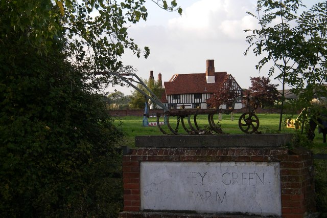
Southey Green, Essex

Southey Green is a hamlet near Sible Hedingham, in the Braintree district, in the county of Essex, England. Other nearby hamlets include Forry's Green...

Gosfield Hall

Gosfield Hall is a country house in Gosfield, near Braintree in Essex, England. It is a Grade I listed building. The house was built in 1545 by Sir John...

Gosfield

Gosfield is a village in the Braintree district of Essex, England. It is located around two miles west of the town of Halstead. Places of note include...

Have you been to Oak Grove?

Leave your review of Oak Grove below (or comments, questions and feedback).