Finwood

Settlement in Warwickshire Warwick

England

Finwood

Grand Union Canal near Turner's Green
Grand Union Canal near Turner's Green Credit: Mark Percy

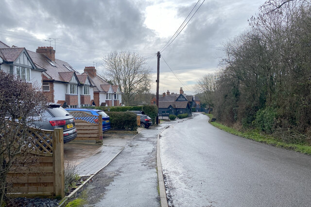
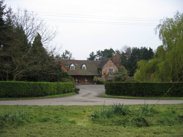
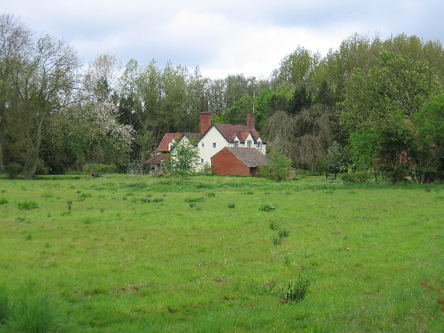
Finwood is a small village located in the county of Warwickshire, England. Situated just four miles south of the town of Henley-in-Arden, Finwood enjoys a peaceful and picturesque setting amidst the rolling countryside of the West Midlands.

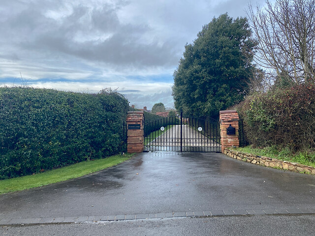
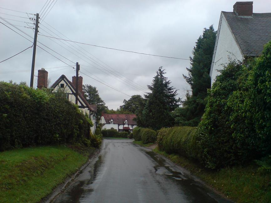
The village is primarily residential, with a charming collection of traditional cottages and houses, many of which date back several centuries. The area is known for its quaint and idyllic atmosphere, making it a popular choice for those seeking a tranquil rural retreat.

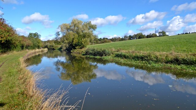
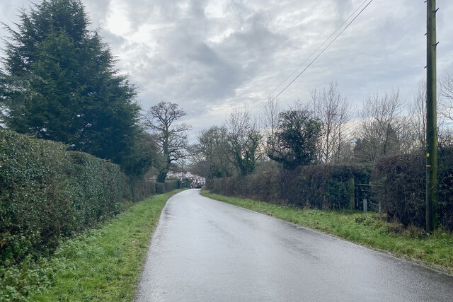
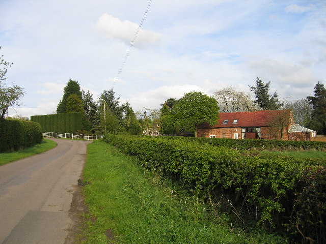
The surrounding landscape is characterized by lush green fields, meandering streams, and ancient woodlands, providing ample opportunities for outdoor activities such as walking, cycling, and horse riding. There are several public footpaths and bridleways that crisscross the area, allowing residents and visitors to explore the stunning natural beauty that Finwood has to offer.

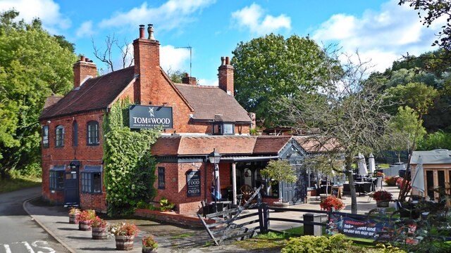
Although Finwood is a small village, it benefits from its close proximity to Henley-in-Arden, where residents can find a wider range of amenities including shops, pubs, and restaurants. The village is also conveniently located for commuters, with good transport links to nearby towns and cities such as Warwick, Stratford-upon-Avon, and Birmingham.

Overall, Finwood, Warwickshire is a delightful village that offers a peaceful lifestyle in a picturesque rural setting. With its charming architecture, beautiful countryside, and convenient location, it is a place that appeals to those seeking a harmonious blend of tranquility and accessibility.

If you have any feedback on the listing, please let us know in the comments section below.
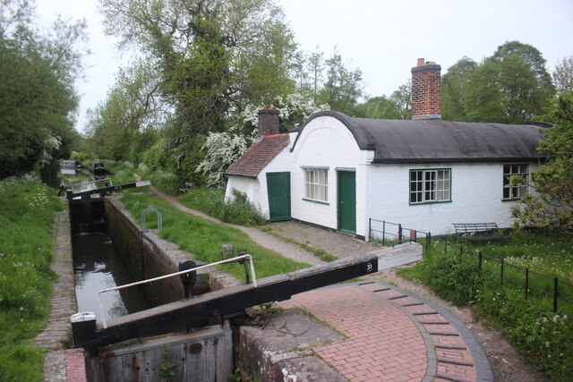
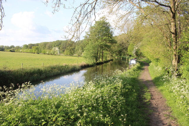
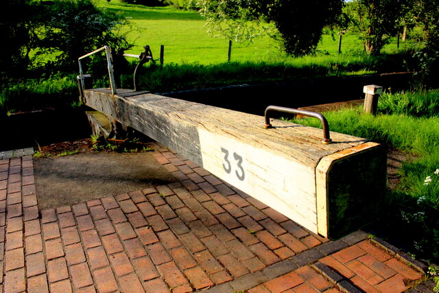
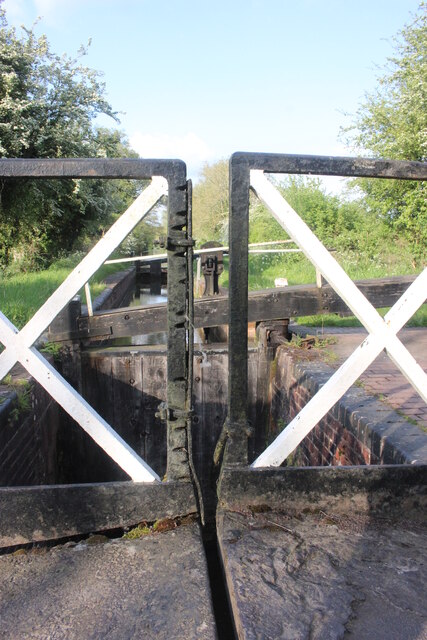
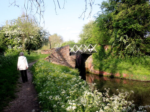
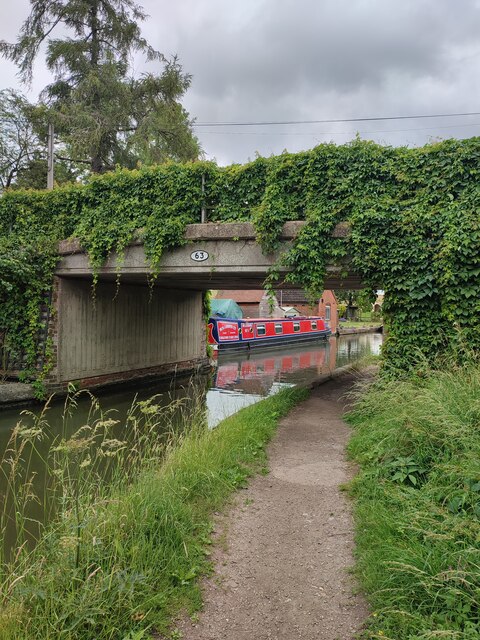
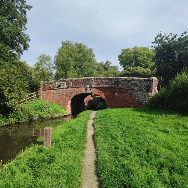
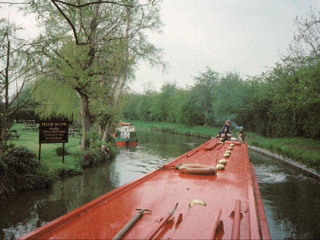
Finwood Images

Images are sourced within 2km of 52.313259/-1.72199 or Grid Reference SP1968. Thanks to Geograph Open Source API. All images are credited.

Grand Union Canal near Turner's Green
Tom O'The Wood country pub and restaurant
Grand Union Canal at Turner's Green
Kingswood-Stratford Canal M40 Motorway Bridge.
Kingswood-Stratford Canal
M40 Motorway Bridge.
Approaching Turner's Green Finwood Road drops down into the canalside hamlet.
Approaching Turner's Green
Finwood Road drops down into the canalside hamlet.
Southwest on Finwod Road Finwood Road turns south from the Old Warwick Road for Turner's Green, ahead, and Lowsonford.
Southwest on Finwod Road
Finwood Road turns south from the Old Warwick Road for Turner's Green, ahead, and Lowsonford.
Gates to Windmill Cottage, Turner's Green An entrance on Finwood Road. Old maps show Windmill House here and a circular feature where a windmill  might have been. This is the same relatively high ground as the Rowington Mill site <a href="https://www.geograph.org.uk/photo/7378320">SP2070 : Rowington Mill, Rowington Green</a>.
Gates to Windmill Cottage, Turner's Green
An entrance on Finwood Road. Old maps show Windmill House here and a circular feature where a windmill might have been. This is the same relatively high ground as the Rowington Mill site SP2070 : Rowington Mill, Rowington Green.
Lock Keeper's Cottage, Lock 31, Stratford Upon Avon Canal. This is a relatively unaltered barrel roofed lock keeprs cottage located next to the bridge in Lowsonford where the road to Shrewley crosses the canal.
Lock Keeper's Cottage, Lock 31, Stratford Upon Avon Canal.
This is a relatively unaltered barrel roofed lock keeprs cottage located next to the bridge in Lowsonford where the road to Shrewley crosses the canal.
Lock Keeper's Cottage Lock 31 Stratford Upon Avon Canal Barrel roofed cottage located adjacent to the canal lock. Photo taken from the bridge where Narrow Lane crosses the canal.
Lock Keeper's Cottage Lock 31 Stratford Upon Avon Canal
Barrel roofed cottage located adjacent to the canal lock. Photo taken from the bridge where Narrow Lane crosses the canal.
Stratford Upon Avon Canal This is in the middle of the long stretch between lock 33 and lock 32 of the canal.
Stratford Upon Avon Canal
This is in the middle of the long stretch between lock 33 and lock 32 of the canal.
Lock 33 Stratford Upon Avon Canal Traditional timber lock gate but the area around the lock gate has been repaved with red brick.
Lock 33 Stratford Upon Avon Canal
Traditional timber lock gate but the area around the lock gate has been repaved with red brick.
Split Bridge Lock 33 Stratford Upon Avon Canal The split bridge is where the towpath crossed from one side of the canal to the other and the split allowed the tow-rope to pass through the bridge. Over the years the sliding ropes wore deep grooves in the vertical members of the bridge. One or two of the grooves have cut nearly all the way through the vertical member and an iron plate has been bolted on the side of the member to prevent further wear and to reinforce it.
Split Bridge Lock 33 Stratford Upon Avon Canal
The split bridge is where the towpath crossed from one side of the canal to the other and the split allowed the tow-rope to pass through the bridge. Over the years the sliding ropes wore deep grooves in the vertical members of the bridge. One or two of the grooves have cut nearly all the way through the vertical member and an iron plate has been bolted on the side of the member to prevent further wear and to reinforce it.
Lock 33 Stratford Upon Avon Canal This shows the cross-over bridge with the open slot for horse tow ropes that is just next to the lock chamber.
Lock 33 Stratford Upon Avon Canal
This shows the cross-over bridge with the open slot for horse tow ropes that is just next to the lock chamber.
Turner's Green Bridge
Lowsonford Bridge
Lowsonford Bridge
Lowsonford The Stratford-upon-Avon canal passing the gardens of the Fleur de lys public house in Lowsonford
Lowsonford
The Stratford-upon-Avon canal passing the gardens of the Fleur de lys public house in Lowsonford
Holywell A typical Warwickshire timber framed building seen across the village green.
Holywell
A typical Warwickshire timber framed building seen across the village green.
Willowbrook House Along with attendant barn conversion
Willowbrook House
Along with attendant barn conversion
Show me another place!

Finwood is located at Grid Ref: SP1968 (Lat: 52.313259, Lng: -1.72199)

Administrative County: Warwickshire

District: Warwick

Police Authority: Warwickshire

What 3 Words

///barn.snaps.profiled. Near Henley in Arden, Warwickshire

Nearby Locations

Finwood

Related Wikis

Lowsonford

Lowsonford is a small village within the parish of Rowington in Warwickshire, England. The village lies 4 miles (6.4 km) north-east of Henley-in-Arden...

Bushwood

Bushwood is a hamlet in Warwickshire, located three miles north of Henley in Arden and a mile west of the M40 motorway. There is no village centre as such...

Rowington

Rowington is a village and civil parish in the English county of Warwickshire. It is five miles north-west of the town of Warwick and five miles south...

Mercia Mudstone Group

The Mercia Mudstone Group is an early Triassic lithostratigraphic group (a sequence of rock strata) which is widespread in Britain, especially in the English...

Yarningale Aqueduct

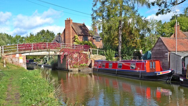
Yarningale Aqueduct is one of three aqueducts on a 4 miles (6 km) length of the Stratford-upon-Avon Canal in Warwickshire. It spans the Kingswood Brook...

Kingswood Junction

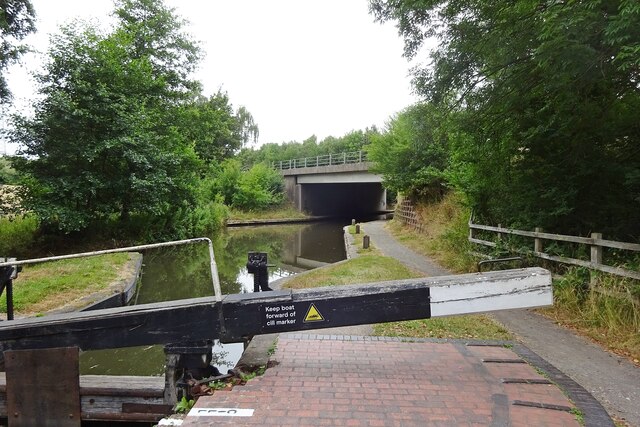
Kingswood Junction (grid reference SP185709) is a canal junction where the Stratford-upon-Avon Canal meets the Grand Union Canal at Kingswood, Warwickshire...
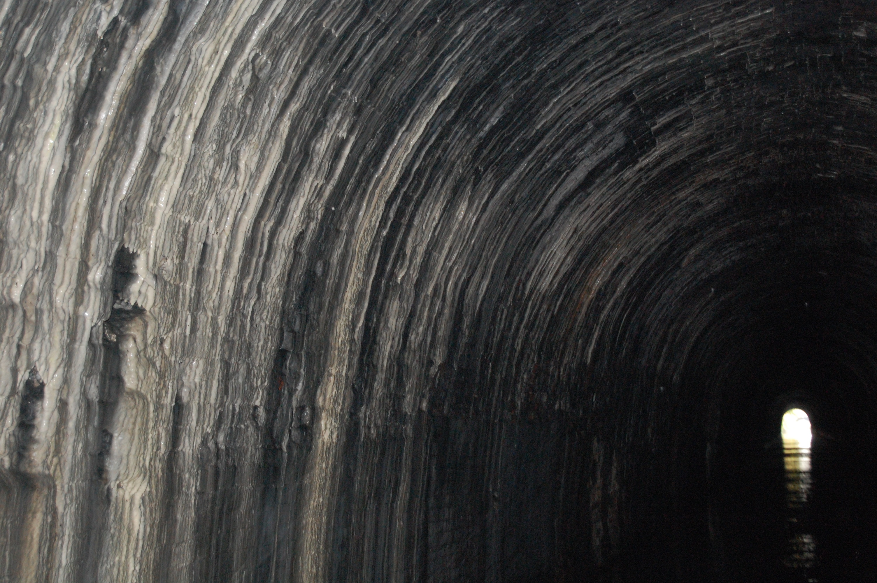
Shrewley Tunnel

Shrewley Tunnel is a canal tunnel near Shrewley, Warwickshire, England, which opened in 1799. It became part of the Grand Union Canal in 1929. == History... ==

Shrewley

Shrewley is a village and civil parish in Warwickshire, England, about 5 miles north-west of Warwick. It consists of Little Shrewley, and Shrewley Common...

Related Videos

Walking The Grand Union Canal (Part 7)

I continue my walk along the towpath of the Grand Union Canal. Starting at Kingswood Junction where we finished in the last part ...

Walking The South Stratford Canal (Part 1)

A walk along the southern end of the Stratford Upon Avon Canal. In this first part we begin at Kingswood Junction where the South ...

4K Baddesley Clinton Canal Walk.

The Circular Walk is a Five miles, starting from the car park at the National Trusts Baddesley Clinton, A Moated 15th Century ...

Nearby Amenities

Located within 500m of 52.313259,-1.72199
Seamark Type: gate
Waterway: lock_gate
Lat/Long: 52.3110141/-1.7270725
Seamark Type: gate
Waterway: lock_gate
Lat/Long: 52.3165242/-1.7268482
Seamark Type: gate
Waterway: lock_gate
Lat/Long: 52.3108015/-1.7269904
Seamark Type: gate
Waterway: lock_gate
Lat/Long: 52.3163316/-1.7266933
Barrier: kissing_gate
Lat/Long: 52.3100628/-1.7215019
Barrier: stile
Lat/Long: 52.3110542/-1.7216178
Barrier: stile
Lat/Long: 52.3107962/-1.7268976
Lowsonford 11kV
Power: pole
Ref: 931501
Source: wpd_opendata
Transformer: distribution
Lat/Long: 52.3119273/-1.7289385
Power: pole
Source: bing
Lat/Long: 52.3126881/-1.7289761
Power: pole
Source: bing
Lat/Long: 52.3132899/-1.7290056
Power: pole
Source: bing
Lat/Long: 52.3137638/-1.7290217
Material: wood
Power: pole
Ref: 931694
Source: wpd_opendata
Transformer: distribution
Lat/Long: 52.3171497/-1.7193872
Power: pole
Source: bing
Lat/Long: 52.3105227/-1.7170537
Power: pole
Source: bing
Lat/Long: 52.3113861/-1.7171301
Power: pole
Source: bing
Lat/Long: 52.3121929/-1.717173
Power: pole
Source: bing
Lat/Long: 52.3128833/-1.7172159
Power: pole
Source: bing
Lat/Long: 52.3136507/-1.7172723
Power: pole
Ref: 930143
Source: wpd_opendata
Transformer: distribution
Lat/Long: 52.3145607/-1.7173138
Power: pole
Source: bing
Lat/Long: 52.3150124/-1.7173836
Power: pole
Ref: 931696
Source: wpd_opendata
Transformer: distribution
Lat/Long: 52.3154666/-1.7175914
Power: pole
Source: bing
Lat/Long: 52.3155593/-1.7189996
Power: pole
Source: bing
Lat/Long: 52.3156577/-1.7203648
Power: pole
Ref: 931695
Source: wpd_opendata
Transformer: distribution
Lat/Long: 52.3155888/-1.7208289
Power: pole
Source: bing
Lat/Long: 52.3154511/-1.721592
Power: pole
Source: bing
Lat/Long: 52.3149329/-1.7224436
Power: pole
Source: bing
Lat/Long: 52.3144615/-1.7232214
Power: pole
Source: bing
Lat/Long: 52.3139712/-1.7240475
Power: pole
Source: bing
Lat/Long: 52.3134957/-1.7248347
Power: pole
Source: bing
Lat/Long: 52.3134457/-1.7259854
Power: pole
Source: bing
Lat/Long: 52.3134014/-1.7269765
Power: pole
Source: bing
Lat/Long: 52.3133522/-1.727922
The data included in this document is from www.openstreetmap.org. The data is made available under ODbL.

Have you been to Finwood?

Leave your review of Finwood below (or comments, questions and feedback).