Gorse Belt
Wood, Forest in Suffolk West Suffolk
England
Gorse Belt

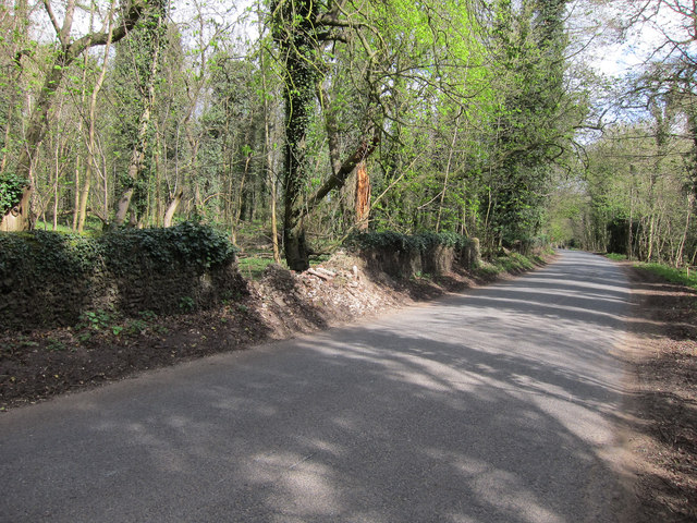
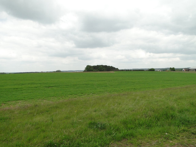
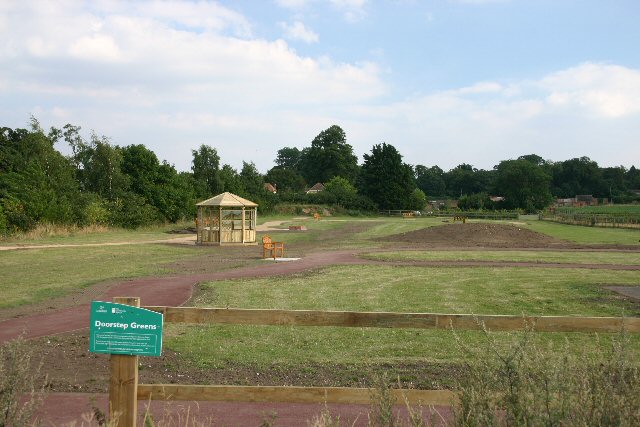
Gorse Belt is a woodland area located in Suffolk, England. Situated in the eastern part of the county, it covers a vast expanse of land and is known for its dense growth of gorse bushes. The area is commonly referred to as a "belt" due to its elongated shape, stretching for several kilometers.
The gorse bushes are the defining feature of this woodland. These evergreen shrubs, with their vibrant yellow flowers, create a stunning visual spectacle throughout the year. The dense growth of gorse provides a habitat for a variety of wildlife, including birds, insects, and small mammals. The area is especially popular among birdwatchers, as it attracts a diverse range of bird species.
Apart from gorse, the woodland is also home to other tree species such as oak, birch, and pine. These trees contribute to the overall biodiversity of the area and provide a habitat for a wider range of flora and fauna.
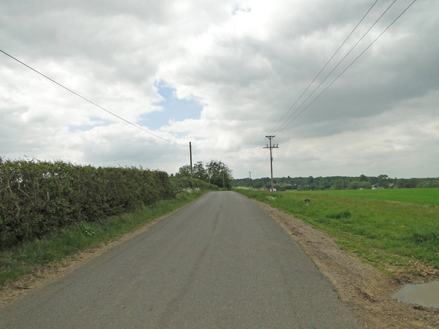
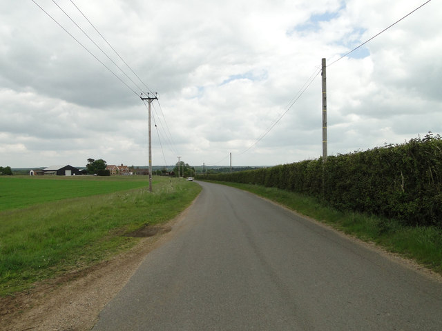
Gorse Belt is a popular destination for nature enthusiasts and outdoor enthusiasts alike. There are several walking trails and paths that allow visitors to explore the woodland and immerse themselves in its natural beauty. The area is also well-maintained, with regular conservation efforts to protect the ecosystem and preserve its unique characteristics.
Overall, Gorse Belt in Suffolk is a stunning woodland area renowned for its dense growth of gorse bushes, diverse wildlife, and picturesque scenery. It offers a tranquil and immersive experience for those seeking to connect with nature.
If you have any feedback on the listing, please let us know in the comments section below.
Gorse Belt Images
Images are sourced within 2km of 52.285864/0.58806179 or Grid Reference TL7668. Thanks to Geograph Open Source API. All images are credited.


Gorse Belt is located at Grid Ref: TL7668 (Lat: 52.285864, Lng: 0.58806179)
Administrative County: Suffolk
District: West Suffolk
Police Authority: Suffolk
What 3 Words
///onlookers.brittle.bonnet. Near Mildenhall, Suffolk
Nearby Locations
Related Wikis

Black Ditches, Cavenham
Black Ditches is an earthwork close to the village of Cavenham of Suffolk, and part of it is a biological Site of Special Scientific Interest (SSSI). The...

Cavenham
Cavenham is a village and civil parish in Suffolk, England, 10 kilometres (6 mi) northwest of Bury St Edmunds. It is in the local government district of...

Icklingham
Icklingham is a village and civil parish in the West Suffolk district of Suffolk in eastern England. It is located about 7 miles (11 km) north-west of...

RAF Tuddenham
Royal Air Force Tuddenham or RAF Tuddenham is a former Royal Air Force station located 3.2 miles (5.1 km) south east of Mildenhall, Suffolk, England and...

Higham railway station (Suffolk)
Higham railway station was a station serving Higham in the English county of Suffolk. It was opened by the Great Eastern Railway in 1854 when the railway...

Lackford
Lackford is a village and civil parish in the West Suffolk district of Suffolk in eastern England. Located around four miles north-west of Bury St Edmunds...

A14 road (England)
The A14 is a major trunk road in England, running 127 miles (204 km) from Catthorpe Interchange, a major intersection at the southern end of the M6 and...
Risby, Suffolk
Risby is a village and civil parish in the West Suffolk district of Suffolk in eastern England, located around 3 miles (4.8 km) west of Bury St. Edmunds...
Have you been to Gorse Belt?
Leave your review of Gorse Belt below (or comments, questions and feedback).