Lodge Plantation
Wood, Forest in Suffolk West Suffolk
England
Lodge Plantation

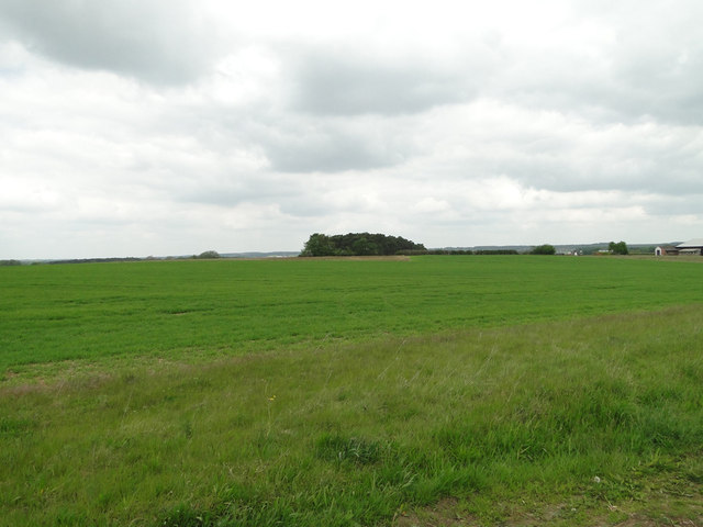
Lodge Plantation, located in Suffolk, is a picturesque woodland area known for its natural beauty and diverse ecosystem. Spanning over a vast area, this plantation is a haven for nature enthusiasts and provides a serene escape from the bustling city life.
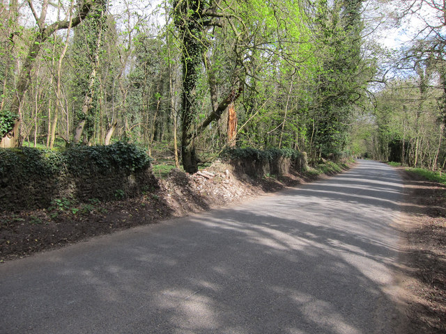
The woodland is characterized by its dense canopy of trees, primarily consisting of oak, beech, and ash. These towering trees create a shaded environment, perfect for exploring on a hot summer day. The forest floor is covered in a thick layer of leaf litter, providing a haven for various species of fungi, insects, and small mammals.
Lodge Plantation is also home to a variety of wildlife. Birdwatchers will be delighted by the presence of woodpeckers, owls, and various songbirds, while keen-eyed observers may spot deer, rabbits, and squirrels. The plantation's diverse ecosystem supports a rich variety of plant and animal life, making it a popular spot for nature lovers and photographers.
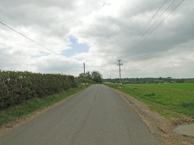
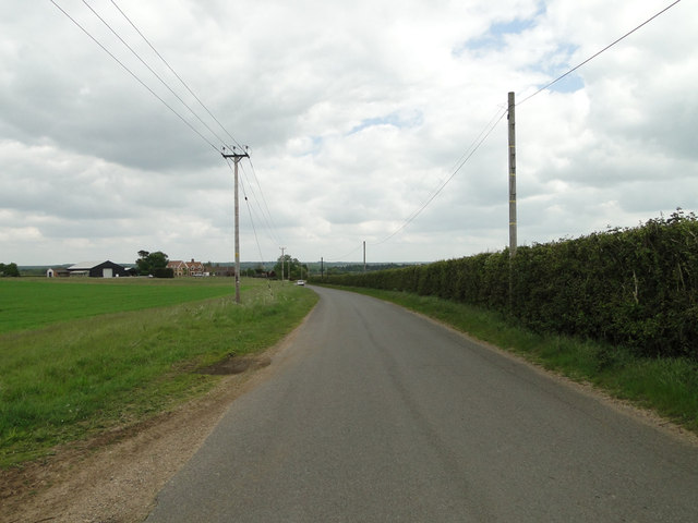
In addition to its natural beauty, Lodge Plantation offers several walking trails that wind through the woods, allowing visitors to explore the area at their own pace. These trails are well-maintained and offer stunning views of the surrounding countryside. The plantation also has designated picnic areas, where visitors can relax and enjoy a meal amidst the tranquility of nature.
Overall, Lodge Plantation in Suffolk is a captivating woodland area that offers a peaceful retreat for individuals seeking solace in nature. With its lush vegetation, diverse wildlife, and tranquil atmosphere, it is a place that truly encapsulates the beauty of the English countryside.
If you have any feedback on the listing, please let us know in the comments section below.
Lodge Plantation Images
Images are sourced within 2km of 52.290028/0.58066421 or Grid Reference TL7668. Thanks to Geograph Open Source API. All images are credited.


Lodge Plantation is located at Grid Ref: TL7668 (Lat: 52.290028, Lng: 0.58066421)
Administrative County: Suffolk
District: West Suffolk
Police Authority: Suffolk
What 3 Words
///loudness.nobody.ultra. Near Mildenhall, Suffolk
Nearby Locations
Related Wikis

Cavenham
Cavenham is a village and civil parish in Suffolk, England, 10 kilometres (6 mi) northwest of Bury St Edmunds. It is in the local government district of...

Black Ditches, Cavenham
Black Ditches is an earthwork close to the village of Cavenham of Suffolk, and part of it is a biological Site of Special Scientific Interest (SSSI). The...

Icklingham
Icklingham is a village and civil parish in the West Suffolk district of Suffolk in eastern England. It is located about 7 miles (11 km) north-west of...

RAF Tuddenham
Royal Air Force Tuddenham or RAF Tuddenham is a former Royal Air Force station located 3.2 miles (5.1 km) south east of Mildenhall, Suffolk, England and...

Higham railway station (Suffolk)
Higham railway station was a station serving Higham in the English county of Suffolk. It was opened by the Great Eastern Railway in 1854 when the railway...

A14 road (England)
The A14 is a major trunk road in England, running 127 miles (204 km) from Catthorpe Interchange, a major intersection at the southern end of the M6 and...

Lackford
Lackford is a village and civil parish in the West Suffolk district of Suffolk in eastern England. Located around four miles north-west of Bury St Edmunds...

Tuddenham
Tuddenham is a village and civil parish in the West Suffolk district of Suffolk in eastern England. In 2005 it had a population of 450. falling to 423...
Nearby Amenities
Located within 500m of 52.290028,0.58066421Have you been to Lodge Plantation?
Leave your review of Lodge Plantation below (or comments, questions and feedback).