Drinkwillow Plantation
Wood, Forest in Suffolk West Suffolk
England
Drinkwillow Plantation

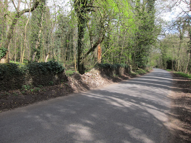
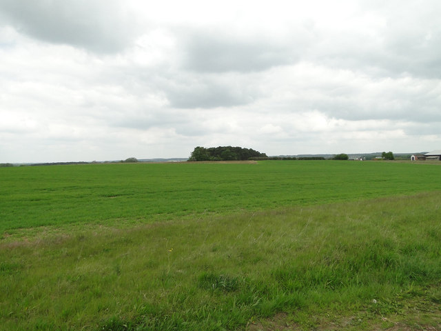
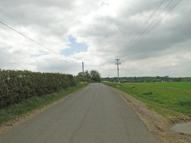
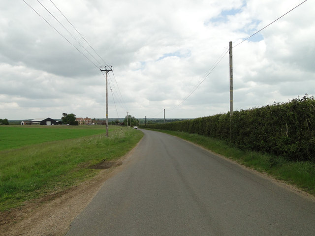
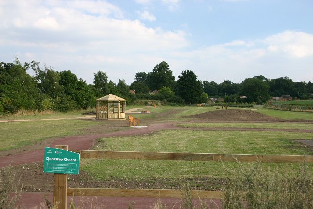
Drinkwillow Plantation is a picturesque woodland located in Suffolk, England. This enchanting forest covers an area of approximately 500 acres and is known for its diverse range of flora and fauna. The plantation is situated in close proximity to the village of Drinkwillow, which adds to its charm and accessibility.
The woodland is predominantly composed of a variety of deciduous trees, including oak, beech, and birch. These majestic trees create a dense canopy that provides shade and shelter to the countless species that call this plantation their home. The forest floor is covered in a thick carpet of moss and ferns, adding to the sense of tranquility and natural beauty.
Drinkwillow Plantation is not only a haven for nature lovers but also offers a range of recreational activities for visitors. There are several well-maintained walking trails that wind through the forest, allowing visitors to explore the plantation's beauty at their own pace. These trails are suitable for hikers of all levels, from beginners to experienced trekkers.
The woodland is also home to a rich array of wildlife, including deer, foxes, and a variety of bird species. Birdwatchers will delight in the opportunity to spot rare and migratory birds in their natural habitat. Additionally, the plantation has a small lake that attracts waterfowl, making it a favorite spot for birdwatching enthusiasts.
Overall, Drinkwillow Plantation is a captivating woodland that offers a peaceful retreat for nature enthusiasts and outdoor adventurers alike. Its beautiful landscape, diverse flora and fauna, and well-maintained trails make it a must-visit destination for anyone seeking solace in the heart of Suffolk's countryside.
If you have any feedback on the listing, please let us know in the comments section below.
Drinkwillow Plantation Images
Images are sourced within 2km of 52.292436/0.58527722 or Grid Reference TL7669. Thanks to Geograph Open Source API. All images are credited.


Drinkwillow Plantation is located at Grid Ref: TL7669 (Lat: 52.292436, Lng: 0.58527722)
Administrative County: Suffolk
District: West Suffolk
Police Authority: Suffolk
What 3 Words
///large.buying.processes. Near Mildenhall, Suffolk
Nearby Locations
Related Wikis

Cavenham
Cavenham is a village and civil parish in Suffolk, England, 10 kilometres (6 mi) northwest of Bury St Edmunds. It is in the local government district of...

Black Ditches, Cavenham
Black Ditches is an earthwork close to the village of Cavenham of Suffolk, and part of it is a biological Site of Special Scientific Interest (SSSI). The...

Icklingham
Icklingham is a village and civil parish in the West Suffolk district of Suffolk in eastern England. It is located about 7 miles (11 km) north-west of...

RAF Tuddenham
Royal Air Force Tuddenham or RAF Tuddenham is a former Royal Air Force station located 3.2 miles (5.1 km) south east of Mildenhall, Suffolk, England and...

Lackford
Lackford is a village and civil parish in the West Suffolk district of Suffolk in eastern England. Located around four miles north-west of Bury St Edmunds...

Higham railway station (Suffolk)
Higham railway station was a station serving Higham in the English county of Suffolk. It was opened by the Great Eastern Railway in 1854 when the railway...

Tuddenham
Tuddenham is a village and civil parish in the West Suffolk district of Suffolk in eastern England. In 2005 it had a population of 450. falling to 423...
All Saints' Church, Icklingham
All Saints' Church is a redundant Anglican church in the village of Icklingham, Suffolk, England. It is recorded in the National Heritage List for England...
Nearby Amenities
Located within 500m of 52.292436,0.58527722Have you been to Drinkwillow Plantation?
Leave your review of Drinkwillow Plantation below (or comments, questions and feedback).