Beech Clump
Wood, Forest in Suffolk West Suffolk
England
Beech Clump

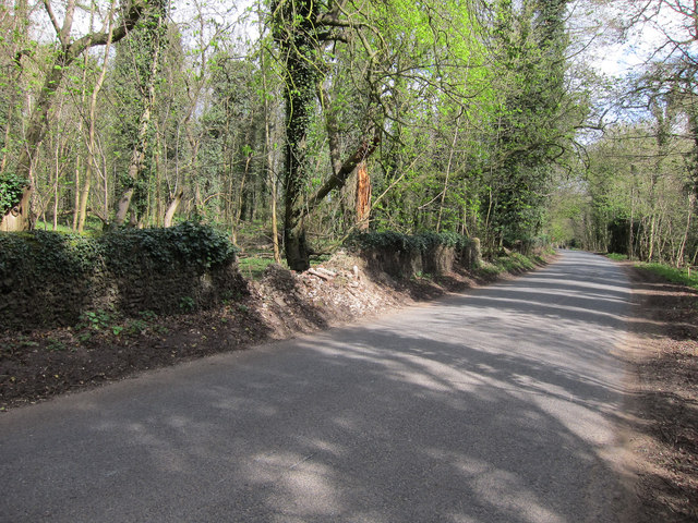
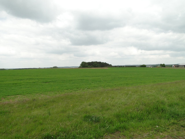
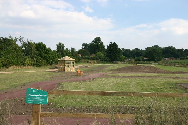
Beech Clump is a picturesque woodland located in Suffolk, England. It is a well-known destination for nature enthusiasts and hikers due to its stunning beauty and diverse range of flora and fauna. The forest is primarily composed of beech trees, which give the area its name, and covers an extensive area of approximately 50 acres.
The dense canopy created by the beech trees provides a cool and shaded environment, making it a pleasant retreat during the hot summer months. The forest floor is covered with a thick layer of fallen leaves, creating a soft and cushioned path for visitors to explore. This also serves as a habitat for a variety of woodland creatures, such as small mammals, birds, and insects.
Beech Clump is home to a wide range of plant species, including bluebells, wood anemones, and wild garlic, which create a vibrant and colorful display during the springtime. The forest also boasts a diverse bird population, with species such as the great spotted woodpecker, tawny owl, and blackbird often spotted among the trees.
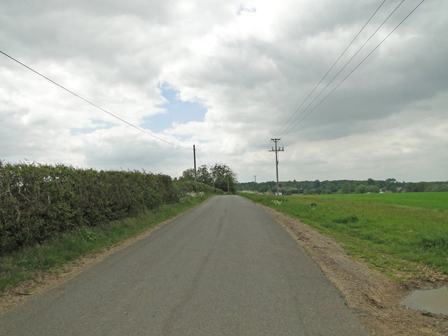
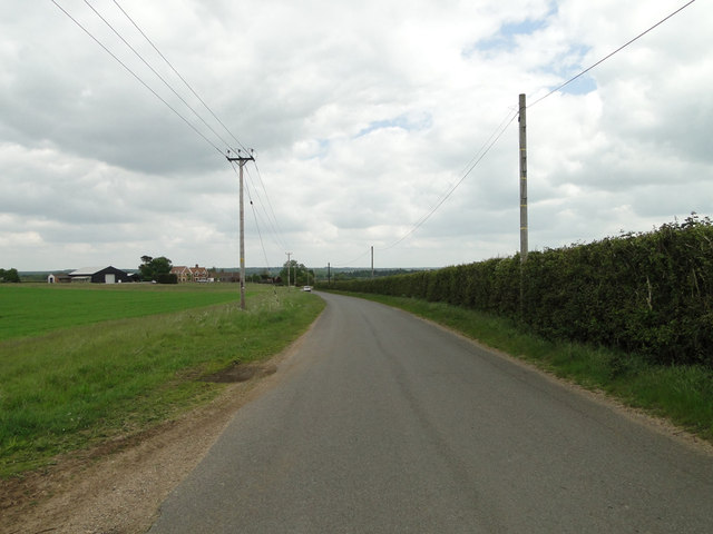
For those who enjoy outdoor activities, Beech Clump offers several well-maintained hiking trails and picnic areas, allowing visitors to immerse themselves in the natural beauty of the surroundings. The tranquil atmosphere and scenic views make it an ideal spot for relaxation and contemplation.
Overall, Beech Clump is a haven for nature lovers, offering a peaceful and enchanting setting for exploration and appreciation of the natural world.
If you have any feedback on the listing, please let us know in the comments section below.
Beech Clump Images
Images are sourced within 2km of 52.29419/0.58152225 or Grid Reference TL7669. Thanks to Geograph Open Source API. All images are credited.


Beech Clump is located at Grid Ref: TL7669 (Lat: 52.29419, Lng: 0.58152225)
Administrative County: Suffolk
District: West Suffolk
Police Authority: Suffolk
What 3 Words
///golden.trembles.reassured. Near Mildenhall, Suffolk
Nearby Locations
Related Wikis

Cavenham
Cavenham is a village and civil parish in Suffolk, England, 10 kilometres (6 mi) northwest of Bury St Edmunds. It is in the local government district of...

Black Ditches, Cavenham
Black Ditches is an earthwork close to the village of Cavenham of Suffolk, and part of it is a biological Site of Special Scientific Interest (SSSI). The...

Icklingham
Icklingham is a village and civil parish in the West Suffolk district of Suffolk in eastern England. It is located about 7 miles (11 km) north-west of...

RAF Tuddenham
Royal Air Force Tuddenham or RAF Tuddenham is a former Royal Air Force station located 3.2 miles (5.1 km) south east of Mildenhall, Suffolk, England and...

Lackford
Lackford is a village and civil parish in the West Suffolk district of Suffolk in eastern England. Located around four miles north-west of Bury St Edmunds...

Tuddenham
Tuddenham is a village and civil parish in the West Suffolk district of Suffolk in eastern England. In 2005 it had a population of 450. falling to 423...
All Saints' Church, Icklingham
All Saints' Church is a redundant Anglican church in the village of Icklingham, Suffolk, England. It is recorded in the National Heritage List for England...

Higham railway station (Suffolk)
Higham railway station was a station serving Higham in the English county of Suffolk. It was opened by the Great Eastern Railway in 1854 when the railway...
Nearby Amenities
Located within 500m of 52.29419,0.58152225Have you been to Beech Clump?
Leave your review of Beech Clump below (or comments, questions and feedback).