South Belt
Wood, Forest in Suffolk West Suffolk
England
South Belt

South Belt, Suffolk (Wood, Forest) is a rural neighborhood located in Suffolk County, New York. Situated in the eastern part of Long Island, South Belt is known for its serene and picturesque natural surroundings. The neighborhood is bordered by the towns of Brookhaven and Islip, and it is primarily residential with a sparse population.
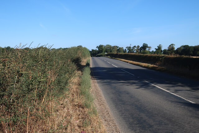
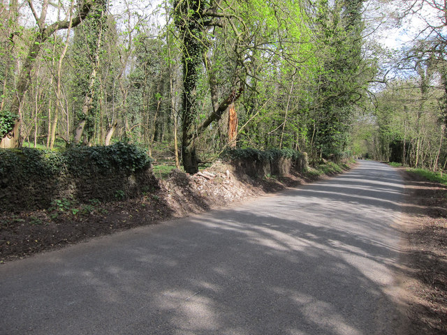
South Belt is characterized by its dense woodland areas, which contribute to its unique and charming atmosphere. The landscape is adorned with towering trees, creating a lush forested environment that is ideal for nature enthusiasts and outdoor activities. The neighborhood is home to several parks and nature reserves, providing residents with ample opportunities for hiking, birdwatching, and exploring the local flora and fauna.
The community of South Belt is closely knit, with residents taking pride in their peaceful and harmonious way of life. The area is known for its friendly and welcoming atmosphere, making it an ideal place for families and individuals seeking a close-knit community.
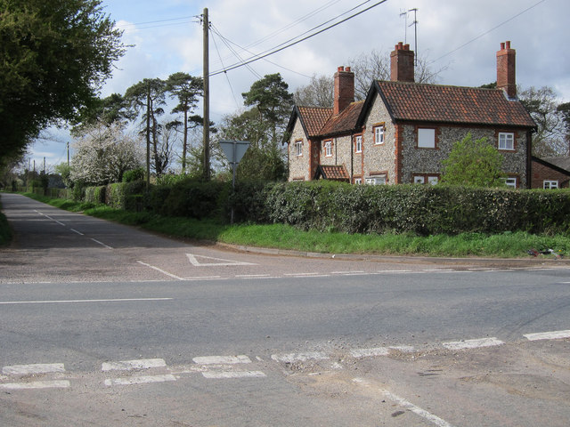
Despite its rural character, South Belt is conveniently located near major roadways, allowing for easy access to neighboring towns and cities. The area is also equipped with essential amenities such as schools, grocery stores, and medical facilities, ensuring that residents have everything they need within reach.
In summary, South Belt, Suffolk (Wood, Forest) offers a tranquil and idyllic living environment, surrounded by beautiful woodlands and a close-knit community. With its natural beauty and convenient location, it is a desirable place to call home for those who appreciate a peaceful and nature-oriented lifestyle.
If you have any feedback on the listing, please let us know in the comments section below.
South Belt Images
Images are sourced within 2km of 52.282665/0.57767033 or Grid Reference TL7568. Thanks to Geograph Open Source API. All images are credited.


South Belt is located at Grid Ref: TL7568 (Lat: 52.282665, Lng: 0.57767033)
Administrative County: Suffolk
District: West Suffolk
Police Authority: Suffolk
What 3 Words
///sulked.threading.canine. Near Mildenhall, Suffolk
Nearby Locations
Related Wikis

Cavenham
Cavenham is a village and civil parish in Suffolk, England, 10 kilometres (6 mi) northwest of Bury St Edmunds. It is in the local government district of...

Black Ditches, Cavenham
Black Ditches is an earthwork close to the village of Cavenham of Suffolk, and part of it is a biological Site of Special Scientific Interest (SSSI). The...

Higham railway station (Suffolk)
Higham railway station was a station serving Higham in the English county of Suffolk. It was opened by the Great Eastern Railway in 1854 when the railway...

A14 road (England)
The A14 is a major trunk road in England, running 127 miles (204 km) from Catthorpe Interchange, a major intersection at the southern end of the M6 and...

RAF Tuddenham
Royal Air Force Tuddenham or RAF Tuddenham is a former Royal Air Force station located 3.2 miles (5.1 km) south east of Mildenhall, Suffolk, England and...

Icklingham
Icklingham is a village and civil parish in the West Suffolk district of Suffolk in eastern England. It is located about 7 miles (11 km) north-west of...
Higham, West Suffolk
Higham is a village and civil parish in the West Suffolk district of Suffolk in the east of England. Located midway between Bury St Edmunds and Newmarket...

Lackford
Lackford is a village and civil parish in the West Suffolk district of Suffolk in eastern England. Located around four miles north-west of Bury St Edmunds...
Have you been to South Belt?
Leave your review of South Belt below (or comments, questions and feedback).