Cooper's Plantation
Wood, Forest in Suffolk West Suffolk
England
Cooper's Plantation

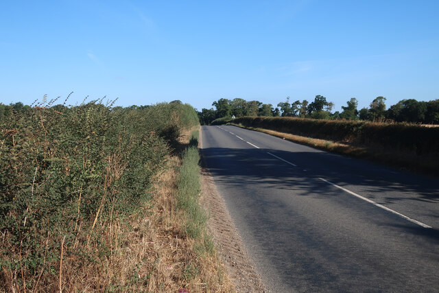
Cooper's Plantation is a picturesque woodland area located in Suffolk, England. Situated on the outskirts of the town of Wood, this plantation is a haven for nature enthusiasts and offers a tranquil retreat from the bustling city life. The plantation covers a vast area, encompassing dense forests, sprawling meadows, and winding trails.
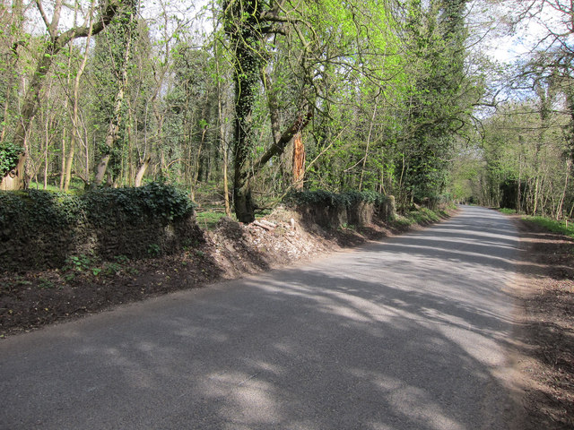
The woodland is primarily made up of indigenous trees, including oak, beech, and pine, which provide a rich and diverse habitat for a variety of wildlife. The plantation is home to numerous species of birds, such as woodpeckers, owls, and jays, making it a popular spot for birdwatchers.
Visitors to Cooper's Plantation can explore the many walking trails that crisscross through the woodland. These trails allow hikers to immerse themselves in nature and enjoy the peaceful surroundings. Along the way, they may encounter small streams, wildflowers, and even deer grazing in the meadows.
The plantation also offers opportunities for outdoor activities such as camping, picnicking, and photography. There are designated camping areas equipped with basic facilities, allowing visitors to spend a night under the stars surrounded by the sounds of nature.
Cooper's Plantation is a well-maintained and protected area, with conservation efforts in place to preserve its natural beauty. The local authorities regularly organize educational programs and guided tours to raise awareness about the importance of environmental conservation.
Overall, Cooper's Plantation in Suffolk offers a perfect retreat for nature lovers, providing a serene escape from the urbanized world and a chance to reconnect with the great outdoors.
If you have any feedback on the listing, please let us know in the comments section below.
Cooper's Plantation Images
Images are sourced within 2km of 52.284134/0.5705122 or Grid Reference TL7568. Thanks to Geograph Open Source API. All images are credited.


Cooper's Plantation is located at Grid Ref: TL7568 (Lat: 52.284134, Lng: 0.5705122)
Administrative County: Suffolk
District: West Suffolk
Police Authority: Suffolk
What 3 Words
///flask.configure.outsize. Near Mildenhall, Suffolk
Nearby Locations
Related Wikis

Cavenham
Cavenham is a village and civil parish in Suffolk, England, 10 kilometres (6 mi) northwest of Bury St Edmunds. It is in the local government district of...

Black Ditches, Cavenham
Black Ditches is an earthwork close to the village of Cavenham of Suffolk, and part of it is a biological Site of Special Scientific Interest (SSSI). The...

Higham railway station (Suffolk)
Higham railway station was a station serving Higham in the English county of Suffolk. It was opened by the Great Eastern Railway in 1854 when the railway...

A14 road (England)
The A14 is a major trunk road in England, running 127 miles (204 km) from Catthorpe Interchange, a major intersection at the southern end of the M6 and...

RAF Tuddenham
Royal Air Force Tuddenham or RAF Tuddenham is a former Royal Air Force station located 3.2 miles (5.1 km) south east of Mildenhall, Suffolk, England and...

Icklingham
Icklingham is a village and civil parish in the West Suffolk district of Suffolk in eastern England. It is located about 7 miles (11 km) north-west of...
Higham, West Suffolk
Higham is a village and civil parish in the West Suffolk district of Suffolk in the east of England. Located midway between Bury St Edmunds and Newmarket...

Tuddenham
Tuddenham is a village and civil parish in the West Suffolk district of Suffolk in eastern England. In 2005 it had a population of 450. falling to 423...
Nearby Amenities
Located within 500m of 52.284134,0.5705122Have you been to Cooper's Plantation?
Leave your review of Cooper's Plantation below (or comments, questions and feedback).