Athelstaneford
Settlement in East Lothian
Scotland
Athelstaneford
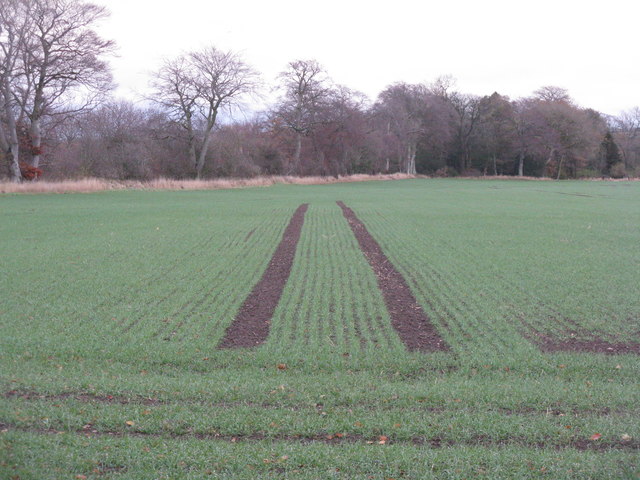
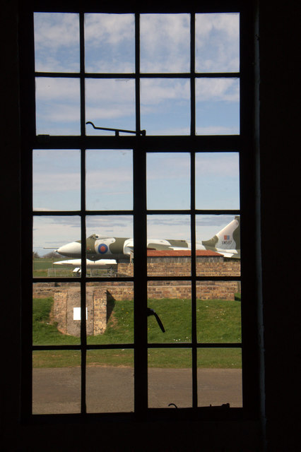
![Country road in November Looking south from Gilmerton. Mostly elms [I think], with an elder in the foreground.](https://s1.geograph.org.uk/geophotos/04/74/48/4744869_a45d8261.jpg)
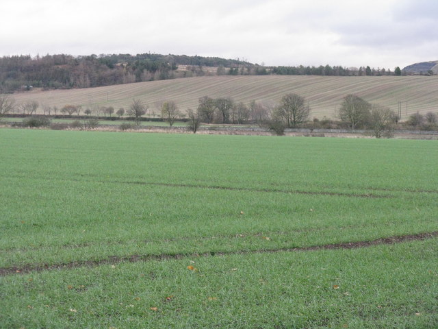
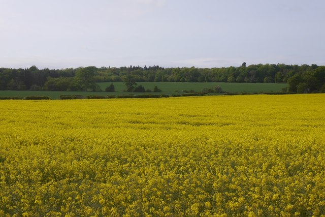
Athelstaneford is a small village located in East Lothian, Scotland. Situated approximately 20 miles east of Edinburgh, it lies in a picturesque rural setting surrounded by rolling hills and farmland. The village has a population of around 400 residents.
One of the notable features of Athelstaneford is its historical significance. It is widely regarded as the birthplace of the Scottish flag, the Saltire, which is represented by a white diagonal cross on a blue background. Legend has it that in 832 AD, a battle took place near the village between the Picts and the Angles. The Pictish King, Óengus II, prayed for divine intervention, and during the battle, a white cross appeared against the blue sky, inspiring the Scots to victory. This event is said to have led to the adoption of the Saltire as Scotland's national flag.
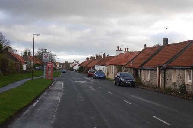
The village itself is charming, with a mix of traditional stone houses and more modern developments. It has a primary school, a church, and a community center, providing essential services for its residents. Athelstaneford also has a strong sense of community, with various events and activities organized throughout the year, including the annual Athelstaneford Agricultural Show, which showcases local produce and livestock.
The surrounding countryside offers plenty of opportunities for outdoor activities, such as walking, cycling, and horse riding. The nearby waters of the Firth of Forth also attract visitors for fishing, sailing, and birdwatching.
Overall, Athelstaneford is a quaint village with rich historical roots, providing a tranquil and picturesque setting for its residents and visitors alike.
If you have any feedback on the listing, please let us know in the comments section below.
Athelstaneford Images
Images are sourced within 2km of 55.989028/-2.745684 or Grid Reference NT5377. Thanks to Geograph Open Source API. All images are credited.


Athelstaneford is located at Grid Ref: NT5377 (Lat: 55.989028, Lng: -2.745684)
Unitary Authority: East Lothian
Police Authority: The Lothians and Scottish Borders
What 3 Words
///forgiving.juices.billiard. Near Haddington, East Lothian
Nearby Locations
Related Wikis

Athelstaneford
Athelstaneford () is a village in East Lothian, Scotland. It lies almost 6 kilometres (3.5 mi) north-east of the market town of Haddington and about 28...

Barnes Castle
Barnes Castle is an unfinished castle, with a number of defensive banks, located 5 kilometres (3.1 mi) north-east of Haddington in East Lothian, Scotland...

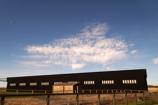
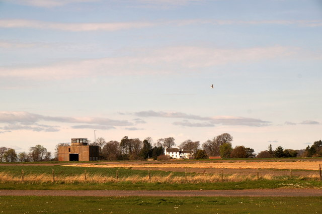
National Museum of Flight
The National Museum of Flight is Scotland's national aviation museum, at East Fortune Airfield, just south of the village of East Fortune, Scotland. It...

RAF East Fortune
Royal Air Force East Fortune, or more simply RAF East Fortune, is a former Royal Air Force station located just south of the village of East Fortune. It...
Related Videos

Skid Hill - New Spot - Bank Holiday Flying
New Spot Video taken with Go Pro Hero 7 (Hypersmooth:Off) Drone - GepRC Mark 4.

A visit to Athelstaneford
20 miles east of Edinburgh is the village of Athelstanford where the legend of Scotland's national flag was born.

Reach for the Skies with Richard Murphy
An alternative tale to the one about Sir Douglas Bader! An Applecatcher Film An afternoon of flying around East Lothian with ...
Nearby Amenities
Located within 500m of 55.989028,-2.745684Have you been to Athelstaneford?
Leave your review of Athelstaneford below (or comments, questions and feedback).