Athelney

Settlement in Somerset Somerset West and Taunton

England

Athelney

West-bound railway line at Bullplace bridge
West-bound railway line at Bullplace bridge Credit: Rob Purvis

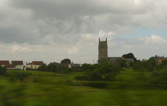
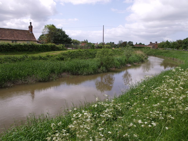
Athelney is a small village located in the county of Somerset, England. Situated on a small island in the Somerset Levels, it is surrounded by the River Tone and River Parrett, creating a picturesque and tranquil setting. The village is approximately 10 miles east of the town of Taunton and is easily accessible via the A361 road.

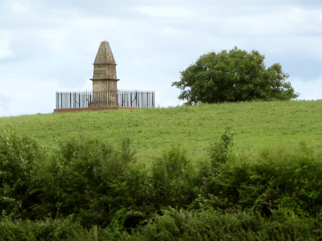
The history of Athelney is deeply rooted in its significance as the site of King Alfred the Great's refuge during the late 9th century. It was on this island that Alfred sought shelter and regrouped his forces to ultimately defeat the invading Danes. To commemorate this historical event, a monument known as the Alfred Jewel was discovered in a nearby field and is now displayed in the Ashmolean Museum in Oxford.

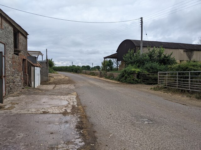
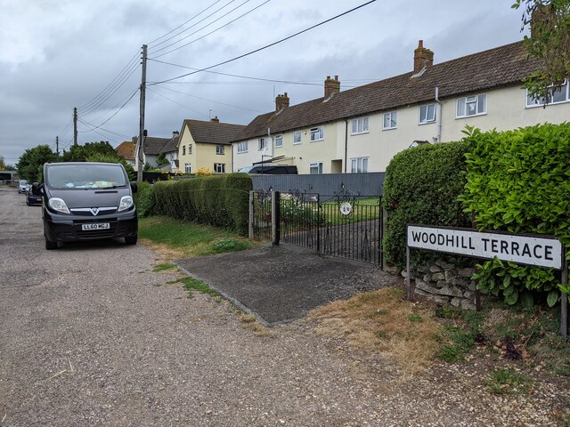
Despite its small size, Athelney boasts a strong sense of community and offers a range of amenities for residents and visitors alike. The village is home to a parish church, a primary school, a village hall, and a pub, providing essential services and opportunities for social interactions.

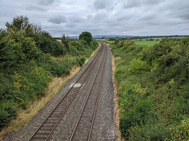
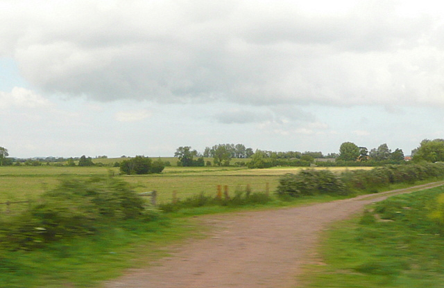
Surrounded by the natural beauty of the Somerset Levels, Athelney is an ideal destination for outdoor enthusiasts. The area offers scenic walks along the riverbanks, birdwatching opportunities, and fishing spots. In addition, the nearby Somerset Levels and Moors are a designated Site of Special Scientific Interest, providing a haven for wildlife and nature lovers.

In conclusion, Athelney is a charming village with a rich historical past and a strong sense of community. Its idyllic location and natural beauty make it an attractive destination for those seeking a peaceful and rural retreat.

If you have any feedback on the listing, please let us know in the comments section below.

Athelney Images

Images are sourced within 2km of 51.058696/-2.935315 or Grid Reference ST3429. Thanks to Geograph Open Source API. All images are credited.

West-bound railway line at Bullplace bridge
Buildings at Parsonage Farm
Woodhill Terrace, looking north
Ordnance Survey Cut Mark This OS cut mark can be found on the west angle of St Bartholomew's Church. It marks a point 13.119m above mean sea level.
Ordnance Survey Cut Mark
This OS cut mark can be found on the west angle of St Bartholomew's Church. It marks a point 13.119m above mean sea level.
Lyng church A brief glimpse of Lyng and its church as we speed past on the train.
This photo was taken from the 1158 Penzance to London Paddington train, having left Taunton at 1529.
Lyng church
A brief glimpse of Lyng and its church as we speed past on the train. This photo was taken from the 1158 Penzance to London Paddington train, having left Taunton at 1529.
River Tone towpath I was a split second too early on this shot, so instead of the channelled River Tone all you see is the adjacent towpath, more like a vehicle track, and the arable fields to the west.  We were doing over 100mph at this point.
This photo was taken from the 1158 Penzance to London Paddington train, having left Taunton at 1529.
River Tone towpath
I was a split second too early on this shot, so instead of the channelled River Tone all you see is the adjacent towpath, more like a vehicle track, and the arable fields to the west. We were doing over 100mph at this point. This photo was taken from the 1158 Penzance to London Paddington train, having left Taunton at 1529.
Stan Moor The view from the train of some of the flat land at Stan Moor, part of the Somerset Levels.  All those lines are drainage ditches.  On the left horizon is Burrow Mount in <a href="https://www.geograph.org.uk/gridref/ST3530">ST3530</a>
This photo was taken from the 1158 Penzance to London Paddington train, having left Taunton at 1529.
Stan Moor
The view from the train of some of the flat land at Stan Moor, part of the Somerset Levels. All those lines are drainage ditches. On the left horizon is Burrow Mount in ST3530 This photo was taken from the 1158 Penzance to London Paddington train, having left Taunton at 1529.
Athelney Farm and King Alfred's Monument
Cuts Road, Athelney
Cuts Road, Athelney
Slough Court
Slough Court
Griggs Hill
Griggs Hill
High Water on the Tone at Curload View from the bridge at Athelney.
High Water on the Tone at Curload
View from the bridge at Athelney.
Curload from Windmill Hill Lyng church in the distance.
Curload from Windmill Hill
Lyng church in the distance.
Lyng from Windmill Hill Floods on the moor.
Lyng from Windmill Hill
Floods on the moor.
Site of Athelney station, 1991 View eastward, towards Castle Cary, Westbury, Reading and London: ex-GWR Paddington - Westbury - Taunton - Exeter etc. main line. Nothing seems to have remained of the station, which was closed 15/6/64 when the Taunton - Langport - Yeovil service ceased; until 10/9/62 it had also served the Taunton - Castle Cary local trains. (Cf. The more recent view by Ken Grainger <a href="https://www.geograph.org.uk/photo/1398392">ST3428 : Curload level crossing</a>).
Site of Athelney station, 1991
View eastward, towards Castle Cary, Westbury, Reading and London: ex-GWR Paddington - Westbury - Taunton - Exeter etc. main line. Nothing seems to have remained of the station, which was closed 15/6/64 when the Taunton - Langport - Yeovil service ceased; until 10/9/62 it had also served the Taunton - Castle Cary local trains. (Cf. The more recent view by Ken Grainger ST3428 : Curload level crossing).
Village Hall, Stoke St Gregory
Woodhill Terrace
Woodhill Terrace
Outbuildings at Parsonage Farm
Show me another place!

Athelney is located at Grid Ref: ST3429 (Lat: 51.058696, Lng: -2.935315)

Administrative County: Somerset

District: Somerset West and Taunton

Police Authority: Avon and Somerset

What 3 Words

///avid.advancing.requires. Near Westonzoyland, Somerset

Related Wikis

Athelney Abbey

Athelney Abbey, established in the county of Somerset, England, was founded by King Alfred in 888, as a religious house for monks of the Order of St....

Athelney

Athelney is a village located between the villages of Burrowbridge and East Lyng in the Sedgemoor district of Somerset, England. The name is believed to...

Balt Moor Wall

Balt Moor Wall is an earthwork and listed scheduled ancient monument in Lyng, Somerset, England, situated on the Somerset Levels to the northwest of the...

Burrow Mump

Burrow Mump is a hill and historic site overlooking Southlake Moor in the village of Burrowbridge within the English county of Somerset. It is a scheduled...

River Tone

The River Tone is a river in the English county of Somerset. The river is about 33 kilometres (21 mi) long. Its source is at Beverton Pond near Huish Champflower...

Willows and Wetlands Visitor Centre

The Willows and Wetlands Visitor Centre is situated at Stoke St Gregory, on the Somerset Levels, north east of Taunton, England. Based on a working farm...

Stoke St Gregory

Stoke St Gregory is a village and civil parish in Somerset, England, about 7 miles (11 km) east of Taunton. The village is on a low ridge of land between...

Lyng, Somerset

Lyng is a civil parish in Somerset, England, comprising the villages of West Lyng and East Lyng and the hamlet of Bankland. == History == The name derives...

Nearby Amenities

Located within 500m of 51.058696,-2.935315
Athelney
Is In: Somerset, England, UK
Place: hamlet
Source: npe
Wikidata: Q3496233
Wikipedia: en:Athelney
Lat/Long: 51.0557912/-2.9339958
Athelney Hill
Historic: archaeological_site
Lat/Long: 51.0585809/-2.9369596
Barrier: stile
Bicycle: no
Foot: yes
Lat/Long: 51.0575446/-2.933021
Barrier: stile
Foot: yes
Lat/Long: 51.0573215/-2.9333818
Give Way
Lat/Long: 51.0569167/-2.93282
The data included in this document is from www.openstreetmap.org. The data is made available under ODbL.

Have you been to Athelney?

Leave your review of Athelney below (or comments, questions and feedback).