Dodds Belt

Wood, Forest in Norfolk King's Lynn and West Norfolk

England

Dodds Belt

Peddars Way near Anmer
Peddars Way near Anmer Credit: Jonathan Thacker

Dodds Belt, Norfolk, also known as Wood or Forest, is a picturesque area located in the eastern part of England. Covering an area of approximately 500 acres, this woodland is a haven for nature enthusiasts and provides a peaceful retreat from the bustling city life.

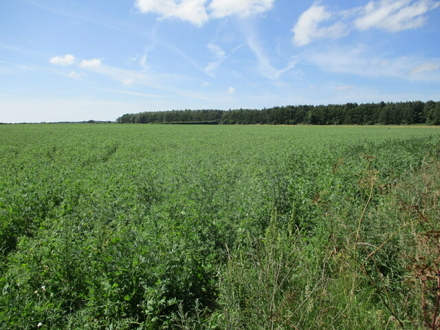
The landscape of Dodds Belt is characterized by a dense canopy of trees, predominantly oak, beech, and birch. The forest floor is covered in a lush carpet of ferns, moss, and wildflowers, creating a vibrant and diverse ecosystem. The wood is home to a variety of wildlife, including deer, foxes, squirrels, and a wide range of bird species, making it a popular spot for birdwatching and wildlife photography.

Dodds Belt offers a network of well-maintained trails and footpaths, allowing visitors to explore the wood at their own pace. These paths wind through the forest, offering stunning views of the surrounding countryside and leading to secluded clearings and tranquil ponds. It is a perfect place for leisurely walks, jogging, or cycling.

In addition to its natural beauty, Dodds Belt holds historical significance. The wood has been a part of the Norfolk landscape for centuries and has witnessed the passage of time. It is said that during the medieval era, the forest served as a hunting ground for the local aristocracy.

Overall, Dodds Belt, Norfolk, is a captivating woodland that offers a serene escape into nature. Whether it is for a peaceful stroll, birdwatching, or simply enjoying the tranquility of the surroundings, this forest is a gem in the heart of Norfolk.

If you have any feedback on the listing, please let us know in the comments section below.

Dodds Belt Images

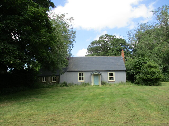
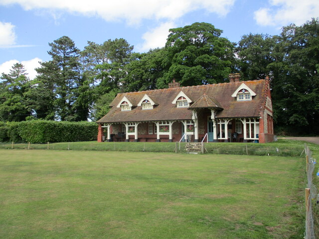
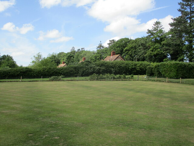
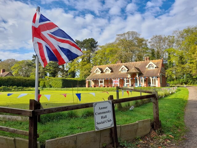
Images are sourced within 2km of 52.848191/0.60330469 or Grid Reference TF7531. Thanks to Geograph Open Source API. All images are credited.

Peddars Way near Anmer
Farm track and pig sties, Bircham Heath
Village Hall, Anmer Appears to be disused.
Village Hall, Anmer
Appears to be disused.
Anmer Club and Bowling Green The club was built in 1909 at the behest of King Edward VII.
Anmer Club and Bowling Green
The club was built in 1909 at the behest of King Edward VII.
Bowling Green and cottages, Anmer
Coronation Decor Anmer Community Hall Social Club is bedecked for the Coronation of His Majesty King Charles III. 
Seen whilst on my Coronation Tour.
Coronation Decor
Anmer Community Hall Social Club is bedecked for the Coronation of His Majesty King Charles III. Seen whilst on my Coronation Tour.
Old Milestone by UC road, corner of garden, near junction with track The Milestone is located on bank behind stone wall on the North of the road.  Parish of Anmer (Kings Lynn and West Norfolk District). Carved stone post, erected in the 18th Century, letters painted in 2013.  Stone moved to safer place because hit by farm machinery 2013. Re-orientated. An earlier photograph can be found here: <a title="https://www.geograph.org.uk/photo/6098057" href="https://www.geograph.org.uk/photo/6098057">Link</a> 

Inscription reads:-  
XI / Miles to / LYNN / XV / to WELLS / X.to / BURNHAM / JC / 1764 : : ANMER : : III / MILes to / HoughtoN / VI to / Massingham / XV to / Swaffham  

Milestone Society National ID: NO_KLBU09
Old Milestone by UC road, corner of garden, near junction with track
The Milestone is located on bank behind stone wall on the North of the road.  Parish of Anmer (Kings Lynn and West Norfolk District). Carved stone post, erected in the 18th Century, letters painted in 2013. Stone moved to safer place because hit by farm machinery 2013. Re-orientated. An earlier photograph can be found here: Link  Inscription reads:- XI / Miles to / LYNN / XV / to WELLS / X.to / BURNHAM / JC / 1764 : : ANMER : : III / MILes to / HoughtoN / VI to / Massingham / XV to / Swaffham Milestone Society National ID: NO_KLBU09
The B1153 where it crosses the Peddars Way B roads are numbered distributor roads, which have lower traffic densities than the main trunk roads, or A roads. B roads can range from dual carriageways to single track roads with passing places. They almost always have 3- and 4-digit designations.
The B1153 where it crosses the Peddars Way
B roads are numbered distributor roads, which have lower traffic densities than the main trunk roads, or A roads. B roads can range from dual carriageways to single track roads with passing places. They almost always have 3- and 4-digit designations.
Season of mellow fruitfulness... ...if not mist <span class="nowrap"><a title="https://poets.org/poem/autumn" rel="nofollow ugc noopener" href="https://poets.org/poem/autumn">Link</a><img style="margin-left:2px;" alt="External link" title="External link - shift click to open in new window" src="https://s1.geograph.org.uk/img/external.png" width="10" height="10"/></span> on the Peddars Way
Season of mellow fruitfulness...
...if not mist LinkExternal link on the Peddars Way
This way surely? A dog is always right. Even, in this case on the Peddars Way, when it is wrong!
This way surely?
A dog is always right. Even, in this case on the Peddars Way, when it is wrong!
Telegraph wires viewed from the Peddars Way The Peddars Way is a long distance footpath in Norfolk. It is 46 miles long and follows the route of a Roman road. It has been suggested by more than one writer that it was not created by the Romans but was an ancient trackway, a branch or extension of the Icknield Way, used and remodelled by the Romans. The name is said to be derived from the Latin pedester – on foot.  It starts at Knettishall Heath in Suffolk (near the Norfolk-Suffolk border, about 4 miles east of Thetford), and it links with the Norfolk Coast Path at Holme-next-the-Sea.
Combined with the Norfolk Coast Path, it forms the Peddars Way & Norfolk Coast Path National Trail, one of 15 National Trails in England and Wales, and the two paths together run for 97 miles.
Wikipedia: <span class="nowrap"><a title="http://en.wikipedia.org/wiki/Peddars_Way" rel="nofollow ugc noopener" href="http://en.wikipedia.org/wiki/Peddars_Way">Link</a><img style="margin-left:2px;" alt="External link" title="External link - shift click to open in new window" src="https://s1.geograph.org.uk/img/external.png" width="10" height="10"/></span>
Telegraph wires viewed from the Peddars Way
The Peddars Way is a long distance footpath in Norfolk. It is 46 miles long and follows the route of a Roman road. It has been suggested by more than one writer that it was not created by the Romans but was an ancient trackway, a branch or extension of the Icknield Way, used and remodelled by the Romans. The name is said to be derived from the Latin pedester – on foot. It starts at Knettishall Heath in Suffolk (near the Norfolk-Suffolk border, about 4 miles east of Thetford), and it links with the Norfolk Coast Path at Holme-next-the-Sea. Combined with the Norfolk Coast Path, it forms the Peddars Way & Norfolk Coast Path National Trail, one of 15 National Trails in England and Wales, and the two paths together run for 97 miles. Wikipedia: LinkExternal link
Peddars Way near Anmer
Grass track to Anmer
Field of peas and Pentonville
Barley field near Great Bircham
Farm track to White Woman's Plantation White Woman's Plantation is in the far distance in the centre of the picture.
Farm track to White Woman's Plantation
White Woman's Plantation is in the far distance in the centre of the picture.
Doggone it, she's still going Trixie has been accompanying us on our walks for many years <a title="https://www.geograph.org.uk/photo/4418815" href="https://www.geograph.org.uk/photo/4418815">Link</a> Here she is on the Peddars Way between the B1153 and Pentonville
Doggone it, she's still going
Trixie has been accompanying us on our walks for many years Link Here she is on the Peddars Way between the B1153 and Pentonville
The path divides on the Peddars Way Straight on for Fring; to the right for Great Bircham
The path divides on the Peddars Way
Straight on for Fring; to the right for Great Bircham
Show me another place!

Dodds Belt is located at Grid Ref: TF7531 (Lat: 52.848191, Lng: 0.60330469)

Administrative County: Norfolk

District: King's Lynn and West Norfolk

Police Authority: Norfolk

What 3 Words

///heeding.snippets.battling. Near Dersingham, Norfolk

Nearby Locations

Dodds Belt Godfreys Wood

Related Wikis

Great Bircham Windmill

Great Bircham Windmill is a Grade II listed tower mill in Great Bircham, Norfolk, England. == History == The earliest record of a windmill in Great Bircham...
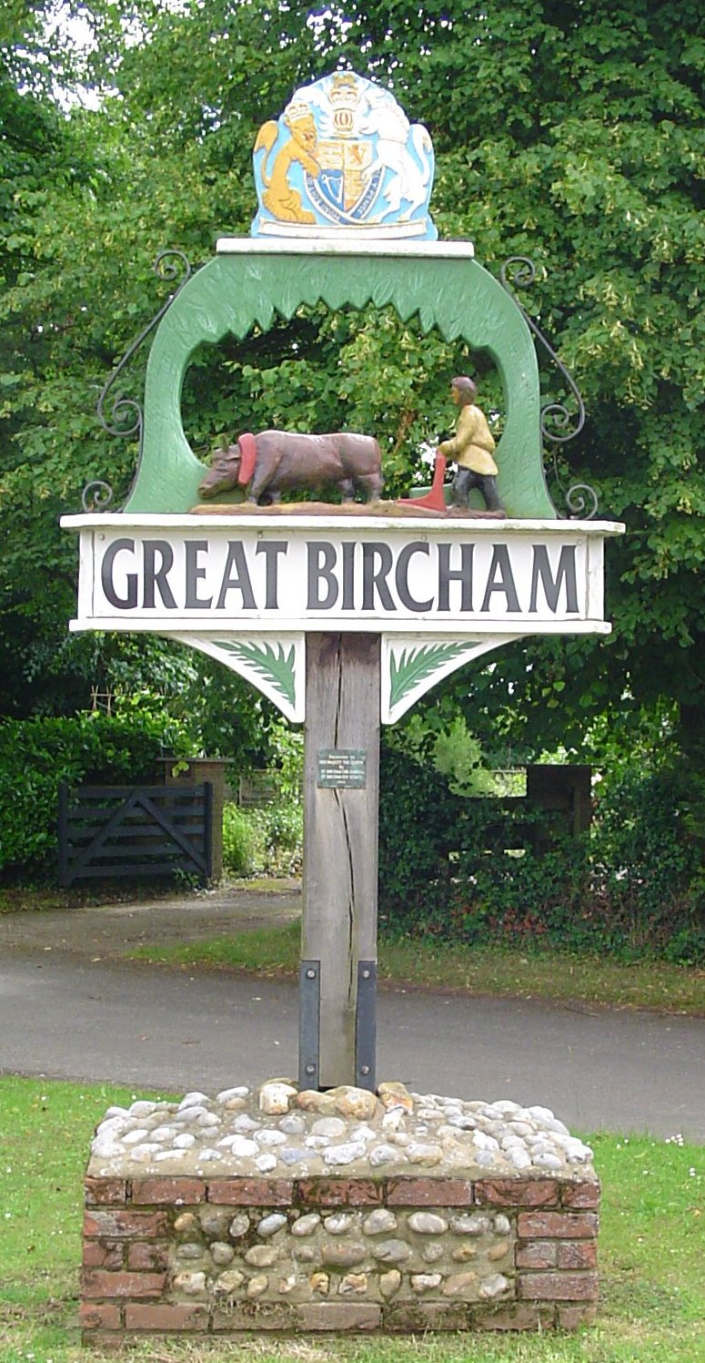
Great Bircham

Great Bircham is the largest of the three villages that make up the civil parish of Bircham, in the west of the English county of Norfolk. The village...

Anmer

Anmer is a small village and civil parish in the English county of Norfolk. It is around 12 miles (19 km) north-east of the town of King's Lynn and 35...

Anmer Hall

Anmer Hall is a Georgian country house in the village of Anmer in Norfolk, England. Built in the 19th century, it was acquired by the Sandringham Estate...

Have you been to Dodds Belt?

Leave your review of Dodds Belt below (or comments, questions and feedback).