Crescent Wood
Wood, Forest in Norfolk King's Lynn and West Norfolk
England
Crescent Wood

Crescent Wood, located in Norfolk, is a picturesque forest known for its natural beauty and abundant wildlife. Covering an area of approximately 200 acres, this dense woodland offers a serene and peaceful environment for visitors to explore and enjoy.
The wood is predominantly composed of a variety of deciduous tree species, including oak, beech, ash, and birch, which create a stunning canopy overhead. The forest floor is blanketed with a lush carpet of moss, ferns, and wildflowers, further enhancing the enchanting atmosphere.
Crescent Wood is home to an array of wildlife, making it a haven for nature enthusiasts and wildlife photographers. Many species of birds, such as woodpeckers, jays, and owls, can be spotted among the treetops, while smaller creatures like squirrels and rabbits scurry through the undergrowth. The wood also attracts larger mammals, including deer and foxes, which can occasionally be glimpsed from the designated walking trails.
Several well-maintained paths wind their way through Crescent Wood, allowing visitors to explore its hidden corners and discover its hidden treasures. These trails are suitable for walkers of all abilities and offer a chance to immerse oneself in the natural wonders of the forest.
Crescent Wood is managed by the local forestry commission, ensuring its preservation and protection for future generations to enjoy. It is a popular destination for nature walks, picnics, and family outings, providing a tranquil escape from the hustle and bustle of everyday life.
In conclusion, Crescent Wood in Norfolk is a captivating forest that showcases the beauty of nature in all its glory. With its diverse flora and fauna, it offers a captivating experience for those seeking solace and connection with the natural world.
If you have any feedback on the listing, please let us know in the comments section below.
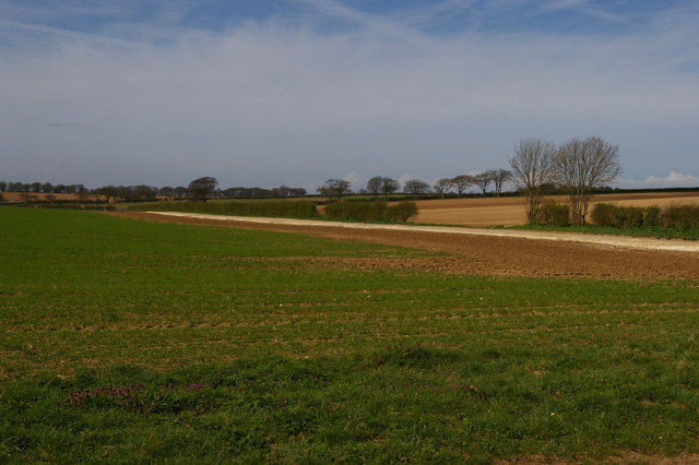
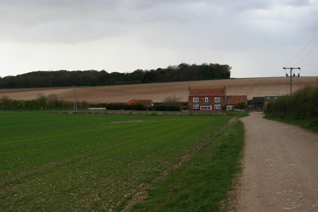
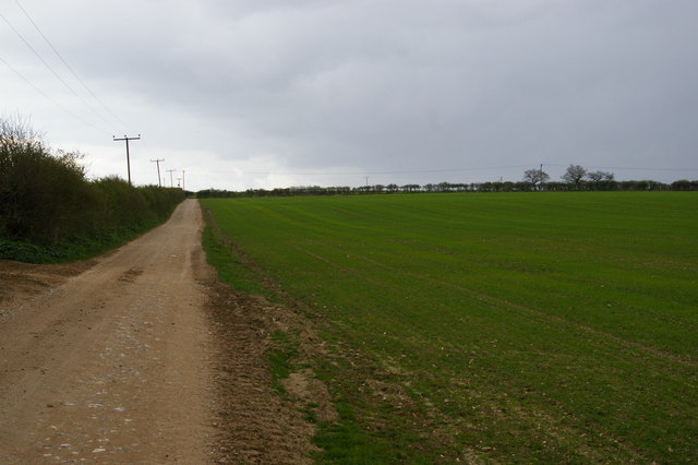
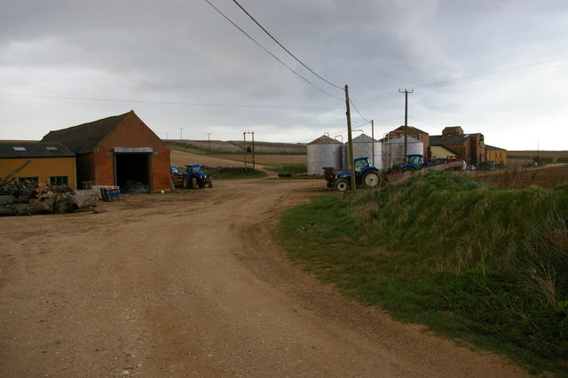
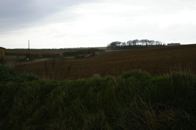
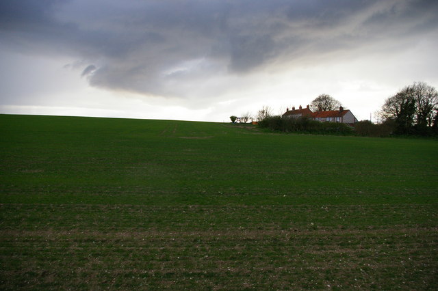
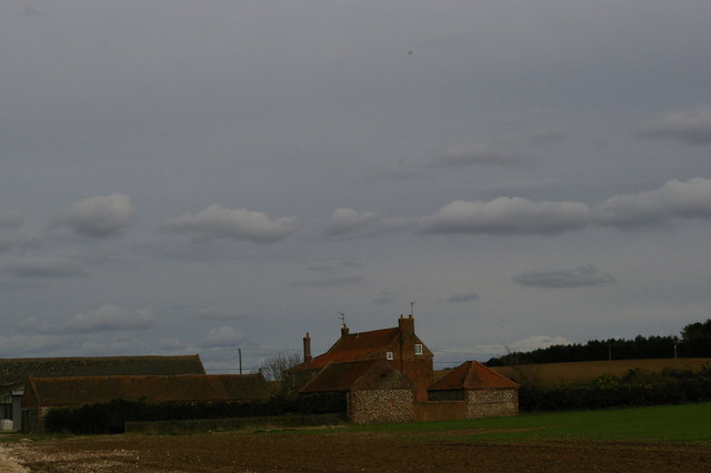
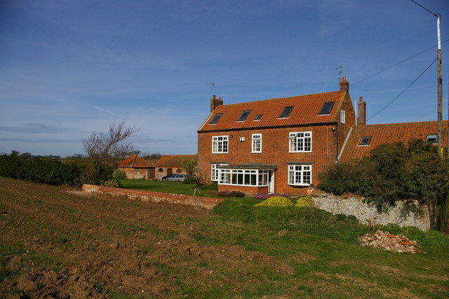
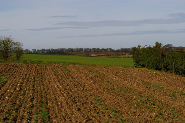
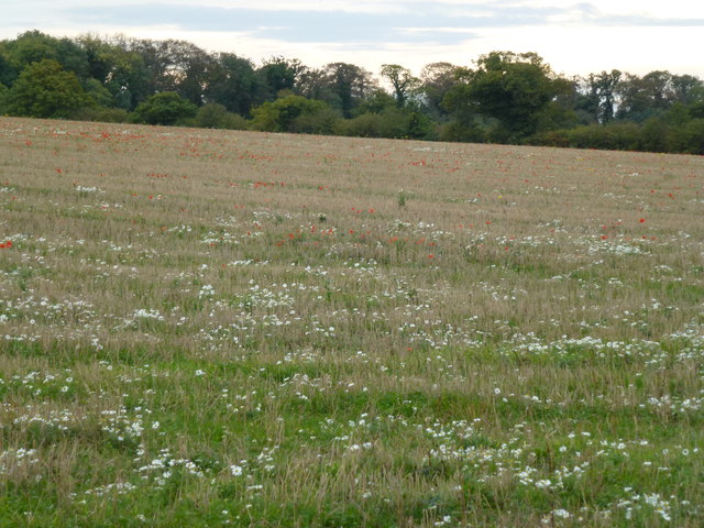
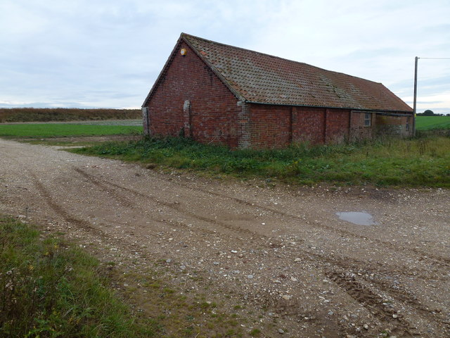
Crescent Wood Images
Images are sourced within 2km of 52.925588/0.59902036 or Grid Reference TF7439. Thanks to Geograph Open Source API. All images are credited.


Crescent Wood is located at Grid Ref: TF7439 (Lat: 52.925588, Lng: 0.59902036)
Administrative County: Norfolk
District: King's Lynn and West Norfolk
Police Authority: Norfolk
What 3 Words
///nuns.employers.lance. Near Hunstanton, Norfolk
Nearby Locations
Related Wikis

Choseley
Choseley is a tiny hamlet and civil parish in the English county of Norfolk. It is situated between the villages of Titchwell and Docking and about 4 kilometres...

Docking railway station
Docking railway station was a station in Norfolk, serving the village of Docking. It closed to passengers in 1952. == References ==

Docking, Norfolk
Docking is a village and ancient civil parish in the north-west of the English county of Norfolk. It is near the North Norfolk Coast Site of Special Scientific...

Thornham, Norfolk
Thornham is a village and civil parish in the English county of Norfolk. It is situated on the north Norfolk coast some 7 kilometres (4.3 mi) north-east...
Ringstead, Norfolk
Ringstead is a village and civil parish in the north-west corner of the English county of Norfolk. It covers an area of 11.13 km2 (4.30 sq mi) and had...

Titchwell Marsh
Titchwell Marsh is an English nature reserve owned and managed by the Royal Society for the Protection of Birds (RSPB). Located on the north coast of the...

RAF Docking
Royal Air Force Docking or more simply RAF Docking is a former Royal Air Force satellite station a few miles from Bircham Newton in Norfolk, England....
Titchwell
Titchwell is a village and civil parish in Norfolk, England. It is situated on the north Norfolk coast some 2 km (1.2 mi) west of the village of Brancaster...
Nearby Amenities
Located within 500m of 52.925588,0.59902036Have you been to Crescent Wood?
Leave your review of Crescent Wood below (or comments, questions and feedback).