Brickhole Plantation
Wood, Forest in Norfolk King's Lynn and West Norfolk
England
Brickhole Plantation

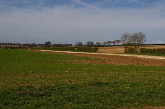
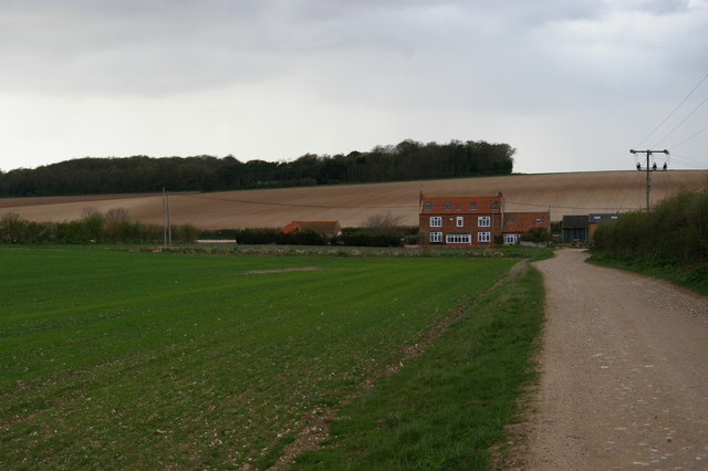
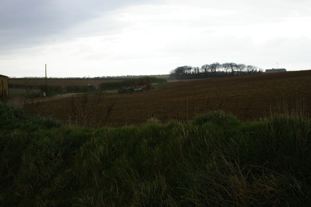
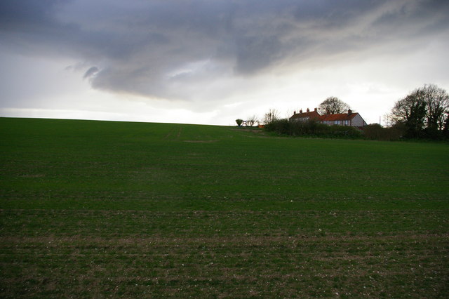
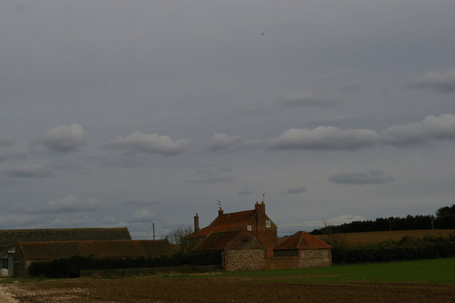
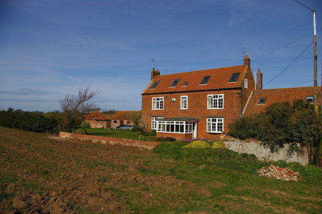
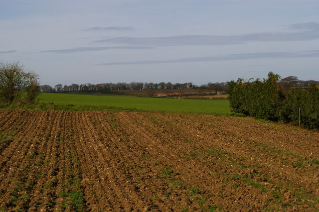
Brickhole Plantation, located in Norfolk, is a renowned wood and forest area that spans over a vast expanse of land. Situated on the eastern coast of England, this picturesque plantation is a popular destination for nature enthusiasts and outdoor adventurers alike.
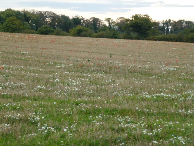
The plantation is characterized by its dense woodlands, consisting primarily of oak, beech, and pine trees. These towering trees provide a lush and vibrant canopy, creating a serene and tranquil atmosphere for visitors. The forest floor is adorned with a diverse range of flora, including wildflowers, ferns, and mosses, adding to the natural beauty of the area.
Brickhole Plantation is not only visually appealing but is also home to a wide variety of wildlife. Birdwatchers can spot a plethora of species, including woodpeckers, owls, and various songbirds. Squirrels, rabbits, and foxes are also commonly seen, adding to the charm and allure of the plantation.
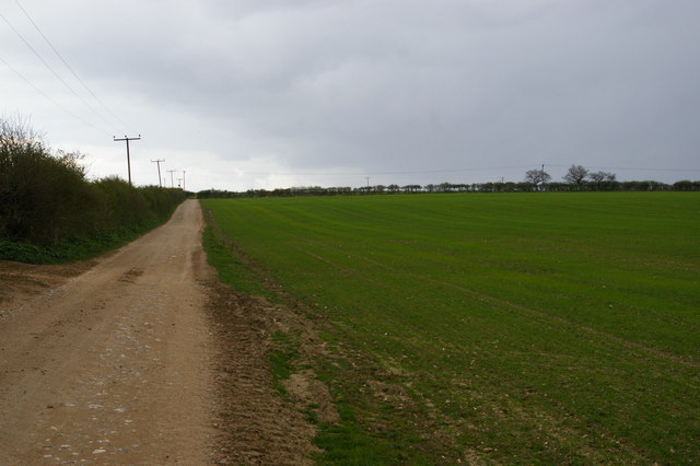
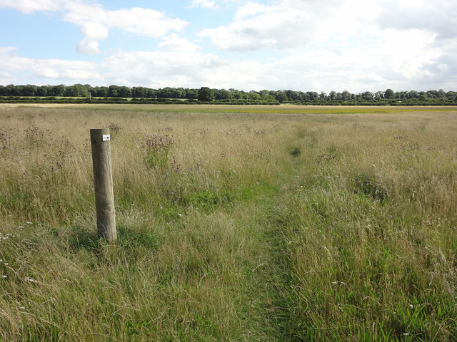
The plantation offers numerous walking trails that wind through the woods, allowing visitors to immerse themselves in the peaceful surroundings. These well-maintained paths cater to different levels of difficulty, making them accessible to individuals of all ages and fitness levels.
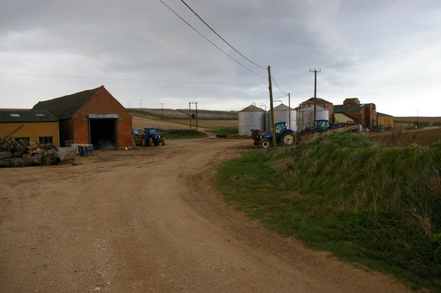
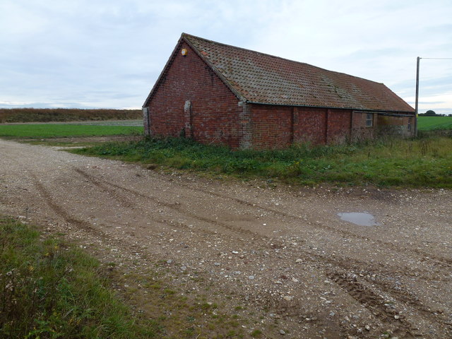
In addition to its natural beauty, Brickhole Plantation also holds historical significance. The area was once used as a brickworks site, which adds an interesting layer of heritage to the plantation.
Overall, Brickhole Plantation in Norfolk is a captivating wood and forest area that offers visitors a chance to reconnect with nature. Its stunning landscapes, diverse wildlife, and historical significance make it a must-visit destination for anyone seeking a peaceful and enriching outdoor experience.
If you have any feedback on the listing, please let us know in the comments section below.
Brickhole Plantation Images
Images are sourced within 2km of 52.923703/0.59271799 or Grid Reference TF7439. Thanks to Geograph Open Source API. All images are credited.


Brickhole Plantation is located at Grid Ref: TF7439 (Lat: 52.923703, Lng: 0.59271799)
Administrative County: Norfolk
District: King's Lynn and West Norfolk
Police Authority: Norfolk
What 3 Words
///leaflet.derailed.untrained. Near Hunstanton, Norfolk
Nearby Locations
Related Wikis

Choseley
Choseley is a tiny hamlet and civil parish in the English county of Norfolk. It is situated between the villages of Titchwell and Docking and about 4 kilometres...

Docking railway station
Docking railway station was a station in Norfolk, serving the village of Docking. It closed to passengers in 1952. == References ==

Docking, Norfolk
Docking is a village and ancient civil parish in the north-west of the English county of Norfolk. It is near the North Norfolk Coast Site of Special Scientific...
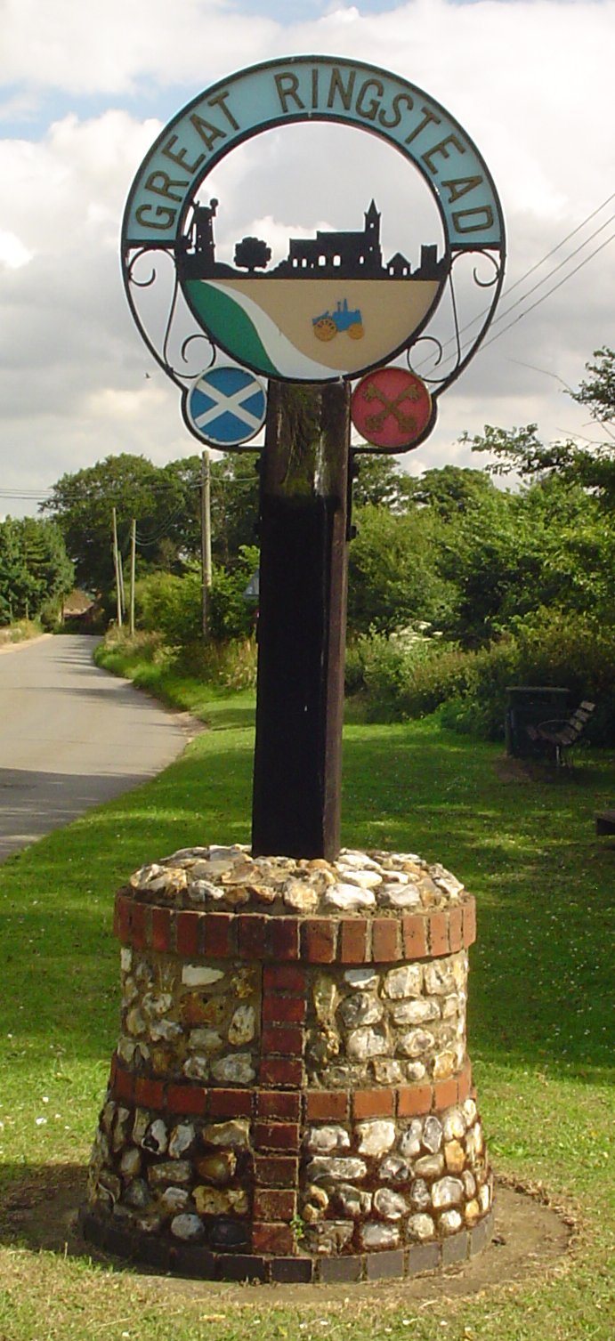
Ringstead, Norfolk
Ringstead is a village and civil parish in the north-west corner of the English county of Norfolk. It covers an area of 11.13 km2 (4.30 sq mi) and had...
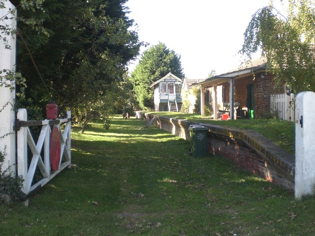
Sedgeford railway station
Sedgeford was a railway station which served the village of Sedgeford in Norfolk, England. Opened by the West Norfolk Junction Railway in 1866, passenger...

Sedgeford Torc
The Sedgeford Torc is a broken Iron Age gold torc found near the village of Sedgeford in Norfolk. The main part of the torc was found during harrowing...

Thornham, Norfolk
Thornham is a village and civil parish in the English county of Norfolk. It is situated on the north Norfolk coast some 7 kilometres (4.3 mi) north-east...
Sedgeford
Sedgeford is a village and civil parish in the English county of Norfolk, about 5 miles south of the North Sea and 3 miles (4.8 km) east of the Wash. It...
Nearby Amenities
Located within 500m of 52.923703,0.59271799Have you been to Brickhole Plantation?
Leave your review of Brickhole Plantation below (or comments, questions and feedback).