Forty Acre Plantation

Wood, Forest in Norfolk King's Lynn and West Norfolk

England

Forty Acre Plantation

Corrugated metal shed on Abbey Road, Flitcham Behind the shed is Further Front Wood and behind the camera is Further Back Wood
Corrugated metal shed on Abbey Road, Flitcham Credit: Richard Humphrey

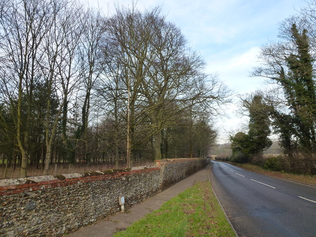
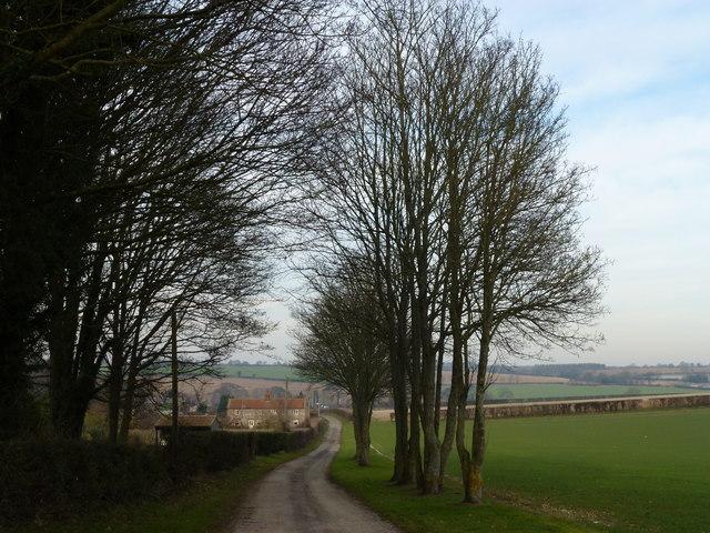
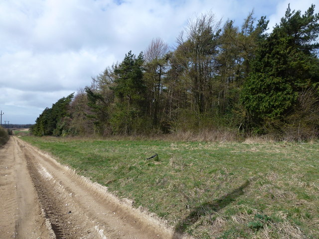
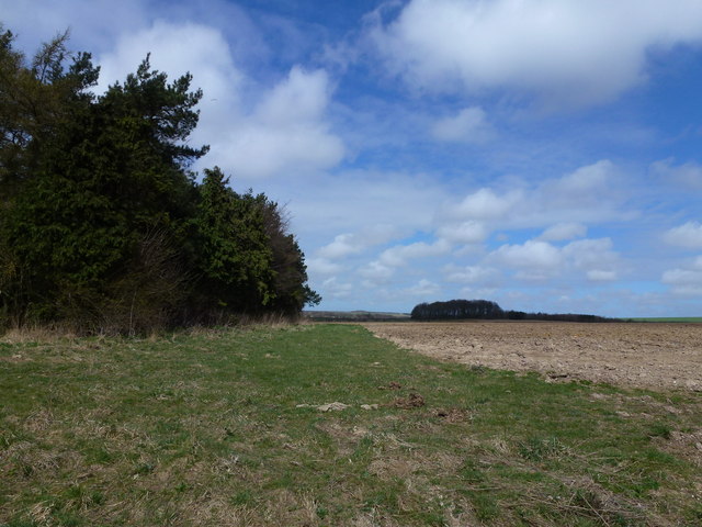
Forty Acre Plantation, located in Norfolk, is a magnificent woodland that spans over 40 acres of lush greenery and is a haven for nature enthusiasts. The plantation is situated in a picturesque area and is renowned for its diverse flora and fauna, making it a popular destination for both locals and tourists alike.

The woodland is characterized by its dense forest cover, consisting of a variety of tree species such as oak, beech, and pine, which provide a natural habitat for a wide range of wildlife. Visitors can expect to encounter an abundance of bird species, including woodpeckers, owls, and various songbirds, as well as small mammals like rabbits, squirrels, and foxes.

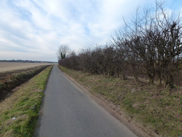
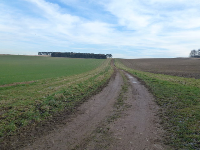
The plantation offers several well-maintained walking trails that wind through the forest, allowing visitors to explore its beauty at their own pace. These trails are suitable for all fitness levels and offer stunning views of the surrounding landscape.

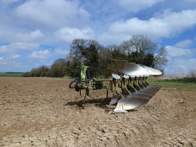
In addition to its natural beauty, Forty Acre Plantation also has a rich history. It is believed to have been established in the early 19th century and was used for timber production. Remnants of old sawmills and logging equipment can still be found throughout the woodland, providing a glimpse into its past.

The plantation is open to the public year-round and offers a peaceful retreat from the hustle and bustle of city life. Whether you are looking for a leisurely stroll, a bird-watching adventure, or simply a place to relax and reconnect with nature, Forty Acre Plantation is a must-visit destination in Norfolk.

If you have any feedback on the listing, please let us know in the comments section below.

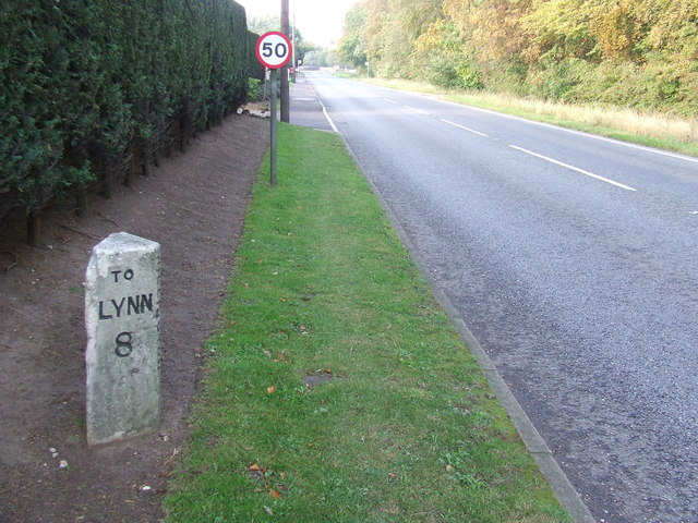
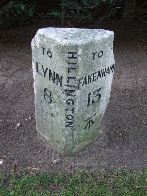
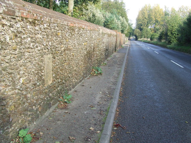
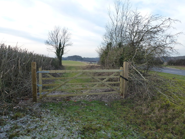
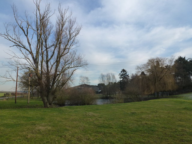
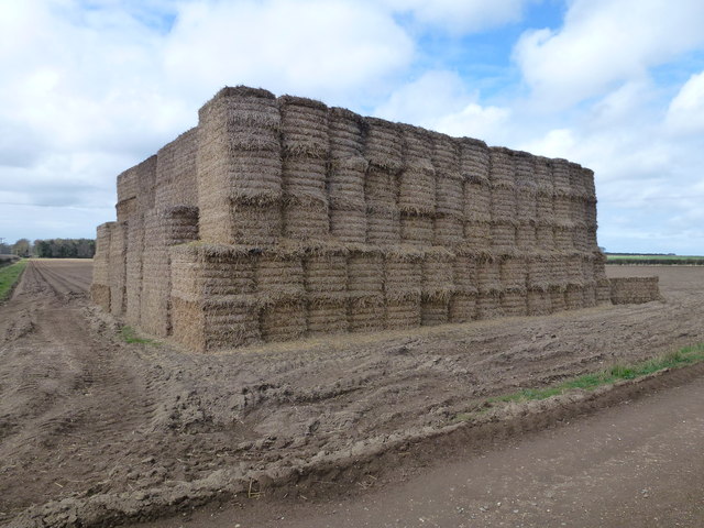
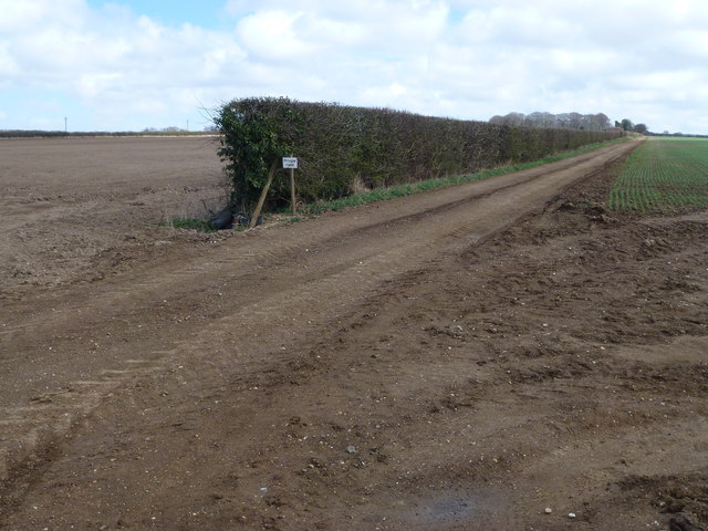
Forty Acre Plantation Images

Images are sourced within 2km of 52.791285/0.58339528 or Grid Reference TF7424. Thanks to Geograph Open Source API. All images are credited.

Corrugated metal shed on Abbey Road, Flitcham Behind the shed is Further Front Wood and behind the camera is Further Back Wood
Corrugated metal shed on Abbey Road, Flitcham
Behind the shed is Further Front Wood and behind the camera is Further Back Wood
Milepost Old milestone on the A.148 at Hillington, Norfolk. For close up view see <a title="https://www.geograph.org.uk/photo/2667552" href="https://www.geograph.org.uk/photo/2667552">Link</a>
Milepost
Old milestone on the A.148 at Hillington, Norfolk. For close up view see Link
Old Milestone Old milestone on the A.148 at Hillington, Norfolk. For overall view see <a title="https://www.geograph.org.uk/photo/2667548" href="https://www.geograph.org.uk/photo/2667548">Link</a>
Old Milestone
Old milestone on the A.148 at Hillington, Norfolk. For overall view see Link
Old Milestone Old milestone in a wall on the B1153 at Hillington, Norfolk. For close up view see <a title="https://www.geograph.org.uk/photo/2667561" href="https://www.geograph.org.uk/photo/2667561">Link</a>
Old Milestone
Old milestone in a wall on the B1153 at Hillington, Norfolk. For close up view see Link
Docking 8 Miles Old milestone in a wall on the B1153 at Hillington, Norfolk. For close up view see <a title="https://www.geograph.org.uk/photo/2667558" href="https://www.geograph.org.uk/photo/2667558">Link</a>
Docking 8 Miles
Old milestone in a wall on the B1153 at Hillington, Norfolk. For close up view see Link
Near Hillington Hall, King's Lynn
Abbey Road - No Beatles crossing it! This country lane in Norfolk runs from The Patch to Flitcham
Abbey Road - No Beatles crossing it!
This country lane in Norfolk runs from The Patch to Flitcham
Track up Bunker's Hill A private track starting near Valley Farm east of Hillington
Track up Bunker's Hill
A private track starting near Valley Farm east of Hillington
Lane from Valley Farm east of Hillington, Norfolk
Trees near The Patch east of Hillington, Norfolk
Locked gate in Norfolk Near Field Farm on the A148 east of Hillington
Locked gate in Norfolk
Near Field Farm on the A148 east of Hillington
Pond near farm on Massingham Road Between Grimston and Great Massingham in Norfolk
Pond near farm on Massingham Road
Between Grimston and Great Massingham in Norfolk
Large straw stack east of Congham In the autumn, British carrot farmers start putting their crop “to bed” for the winter months by covering them with a thick layer of straw to protect them from the frost. This eco-friendly method of storage, takes place across large swathes of land in Nottinghamshire, Yorkshire, Lincolnshire, Norfolk, Suffolk and Scotland. The earth becomes nature’s larder, keeping the crop fresh and ready for harvest throughout the winter, allowing farmers to provide the UK with an 11-month supply of carrots. Before farmers adopted this practice in the 1990s, carrots were predominantly a summer vegetable.   <a title="https://www.geograph.org.uk/photo/3419185" href="https://www.geograph.org.uk/photo/3419185">Link</a>
Large straw stack east of Congham
In the autumn, British carrot farmers start putting their crop “to bed” for the winter months by covering them with a thick layer of straw to protect them from the frost. This eco-friendly method of storage, takes place across large swathes of land in Nottinghamshire, Yorkshire, Lincolnshire, Norfolk, Suffolk and Scotland. The earth becomes nature’s larder, keeping the crop fresh and ready for harvest throughout the winter, allowing farmers to provide the UK with an 11-month supply of carrots. Before farmers adopted this practice in the 1990s, carrots were predominantly a summer vegetable. Link
Private farm road north of Congham Heath
Rutted bridleway and plantation north of Congham Heath
Plantation and farmland near Congham
Large plough near Beech Plantation North of Congham Heath
Large plough near Beech Plantation
North of Congham Heath
Forty Acre Plantation and Belmont Ring Looking over typical flint covered farmland from a bridleway east of Manor Farm, Congham.
Forty Acre Plantation and Belmont Ring
Looking over typical flint covered farmland from a bridleway east of Manor Farm, Congham.
Show me another place!

Forty Acre Plantation is located at Grid Ref: TF7424 (Lat: 52.791285, Lng: 0.58339528)

Administrative County: Norfolk

District: King's Lynn and West Norfolk

Police Authority: Norfolk

What 3 Words

///unzipped.january.pigs. Near Grimston, Norfolk

Related Wikis

Hillington railway station

Hillington railway station was a station in Hillington, Norfolk on the now closed Midland and Great Northern Joint Railway line between South Lynn and...

Flitcham, Norfolk

Flitcham is a village and civil parish in the English county of Norfolk. The village is located 7.1 miles (11.4 km) north-east of King's Lynn and 33 miles...

Hillington, Norfolk

Hillington is a village and civil parish in the English county of Norfolk. It covers an area of 10.27 km2 (3.97 sq mi) and had a population of 287 in 123...

Congham

Congham is a village and civil parish in the English county of Norfolk. It is situated some 6 miles (10 km) east of the town of King's Lynn and 34 miles...

Grimston, Norfolk

Grimston is a village and civil parish in the English county of Norfolk, approximately 6 miles north-east of King's Lynn. It covers an area of 18.08 km2...

Flitcham with Appleton

Flitcham with Appleton is a civil parish in the English county of Norfolk. It covers an area of 17.08 km2 (6.59 sq mi) and had a population of 236 in 96...

River Cong (Norfolk)

The River Cong is a stream in the west of the county of Norfolk, only 1.5 miles (2.4 km) in length. It is a tributary of the River Babingley. The spring...

Roydon, King's Lynn and West Norfolk

Roydon is a small village, civil parish and electoral ward east of King's Lynn in the English county of Norfolk. It covers an area of 4.62 km2 (1.78 sq...

Nearby Amenities

Located within 500m of 52.791285,0.58339528
Power: pole
Lat/Long: 52.7870862/0.5855262
Power: pole
Lat/Long: 52.7870505/0.5840242
Power: pole
Lat/Long: 52.7869986/0.5825275
The data included in this document is from www.openstreetmap.org. The data is made available under ODbL.

Have you been to Forty Acre Plantation?

Leave your review of Forty Acre Plantation below (or comments, questions and feedback).