Snipe Covert
Wood, Forest in Norfolk King's Lynn and West Norfolk
England
Snipe Covert

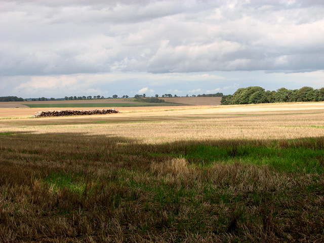
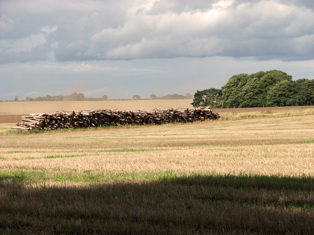
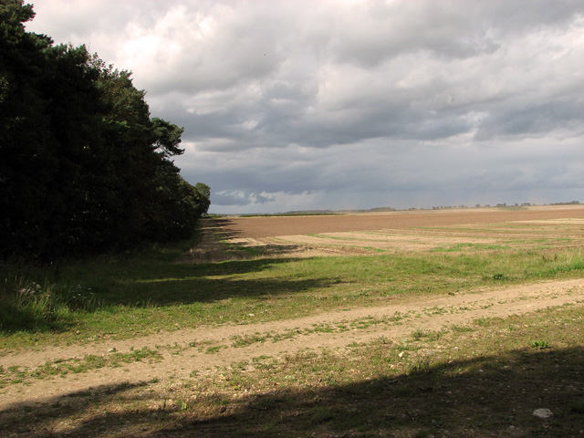
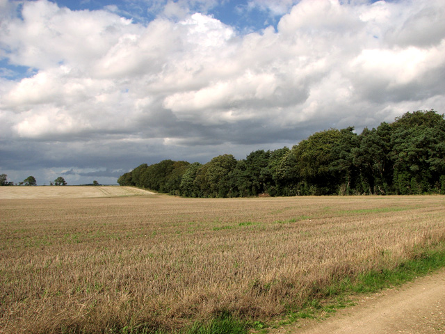
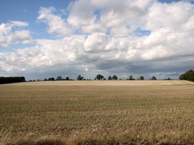
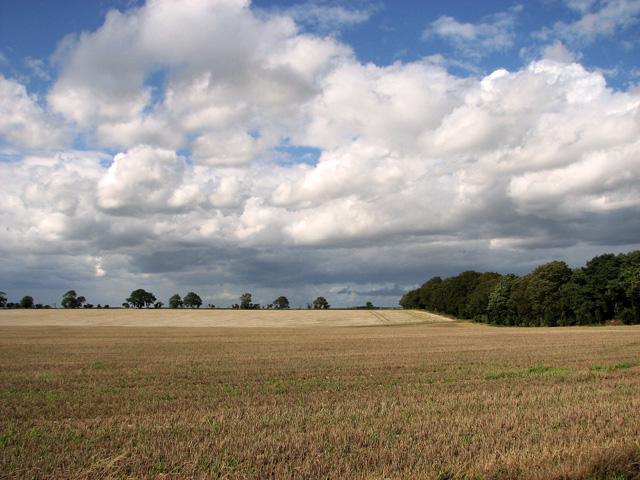
Snipe Covert is a charming woodland area located in Norfolk, England. Situated in the heart of a peaceful countryside, it is a popular destination for nature enthusiasts and those seeking a tranquil escape. Spanning over a vast area, Snipe Covert is predominantly covered by dense forest, making it a haven for flora and fauna.
The woodland consists mainly of deciduous and coniferous trees, including oak, beech, and pine. The diverse range of vegetation provides a rich habitat for a variety of wildlife, such as deer, rabbits, squirrels, and numerous bird species. Birdwatchers are particularly drawn to Snipe Covert due to the presence of rare and indigenous birds, including the elusive Eurasian snipe, from which the woodland derives its name.
Visitors to Snipe Covert have the opportunity to explore its numerous walking trails and enjoy the scenic beauty of the surroundings. These trails meander through the forest, offering glimpses of picturesque vistas and allowing visitors to immerse themselves in the peaceful ambiance. The woodland is also home to a small lake, which adds to the tranquility and provides a habitat for aquatic creatures.
Snipe Covert is well-maintained, with designated picnic areas and benches strategically placed throughout the woodland, offering ample opportunities for visitors to relax and enjoy the serenity of the surroundings. Whether it is a leisurely stroll, wildlife observation, or a family picnic, Snipe Covert offers something for everyone seeking solace in nature.
If you have any feedback on the listing, please let us know in the comments section below.
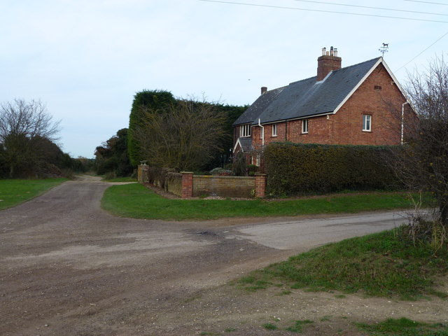
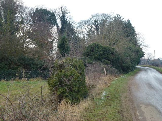
Snipe Covert Images
Images are sourced within 2km of 52.774194/0.57751942 or Grid Reference TF7322. Thanks to Geograph Open Source API. All images are credited.


Snipe Covert is located at Grid Ref: TF7322 (Lat: 52.774194, Lng: 0.57751942)
Administrative County: Norfolk
District: King's Lynn and West Norfolk
Police Authority: Norfolk
What 3 Words
///teaspoons.nasal.interlude. Near Grimston, Norfolk
Nearby Locations
Related Wikis

Grimston, Norfolk
Grimston is a village and civil parish in the English county of Norfolk, approximately 6 miles north-east of King's Lynn. It covers an area of 18.08 km2...

Congham
Congham is a village and civil parish in the English county of Norfolk. It is situated some 6 miles (10 km) east of the town of King's Lynn and 34 miles...

Hillington railway station
Hillington railway station was a station in Hillington, Norfolk on the now closed Midland and Great Northern Joint Railway line between South Lynn and...

Roydon, King's Lynn and West Norfolk
Roydon is a small village, civil parish and electoral ward east of King's Lynn in the English county of Norfolk. It covers an area of 4.62 km2 (1.78 sq...

Pott Row
Pott Row is an expanding village near King's Lynn, Norfolk. It is the western part of the civil and ecclesiastical Parish of Grimston. Pott Row and neighbouring...

Hillington, Norfolk
Hillington is a village and civil parish in the English county of Norfolk. It covers an area of 10.27 km2 (3.97 sq mi) and had a population of 287 in 123...
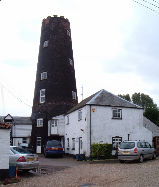
Gayton Windmill, Norfolk
For the Gayton Windmill now in Merseyside see Gayton Windmill, Cheshire Gayton Mill is a Grade II listed tower mill at Gayton, Norfolk, England which...
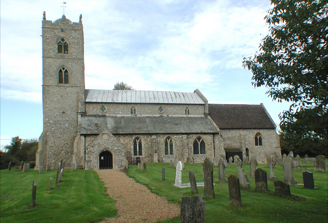
St Nicholas Church, Gayton
St Nicholas Church is a Church of England church located in Gayton, Norfolk. == Overview == The construction of the church building was completed in 1604...
Nearby Amenities
Located within 500m of 52.774194,0.57751942Have you been to Snipe Covert?
Leave your review of Snipe Covert below (or comments, questions and feedback).