Old Scotch Wood

Wood, Forest in Norfolk King's Lynn and West Norfolk

England

Old Scotch Wood

Grass track off Broad Drove, Grimston, Norfolk
Grass track off Broad Drove, Grimston, Norfolk Credit: Richard Humphrey

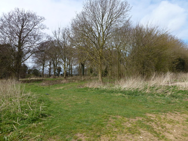
Old Scotch Wood is a picturesque woodland located in Norfolk, England. Covering an area of approximately 50 acres, it is known for its natural beauty and diverse flora and fauna. The wood is situated near the village of Norfolk, offering visitors a tranquil escape from the hustle and bustle of city life.

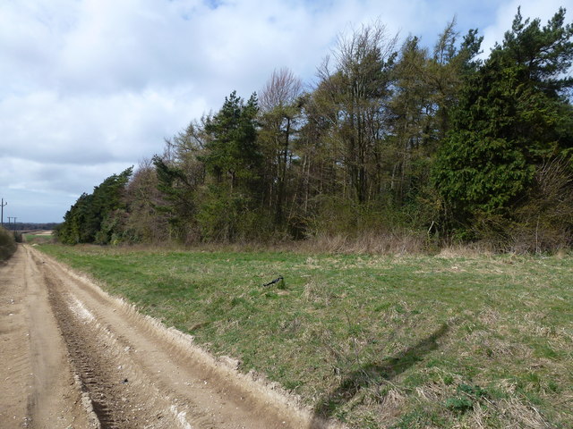
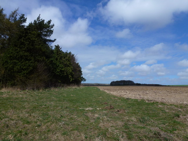
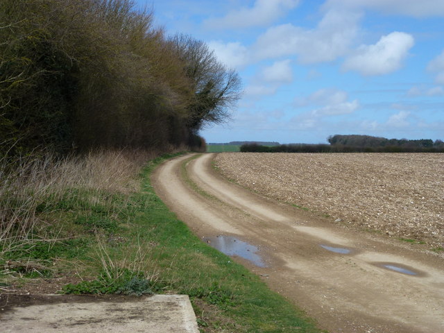
The wood is characterized by its ancient trees, many of which are oak and beech, some of them dating back several centuries. These towering trees create a dense canopy, providing a shady and cool environment even during the warmest summer months. The forest floor is carpeted with an array of wildflowers and ferns, adding to the enchanting atmosphere of the wood.

Old Scotch Wood is home to a rich variety of wildlife. Visitors may spot red squirrels, deer, and a plethora of bird species, including woodpeckers and owls. The wood provides an important habitat for numerous insects and small mammals, contributing to the local biodiversity.

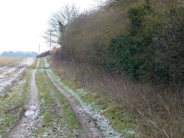
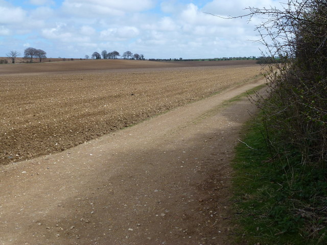
There are several walking trails that meander through the wood, allowing visitors to explore its natural wonders at their own pace. These paths are well-maintained, making them accessible to people of all ages and abilities. Interpretive signs along the trails provide information about the woodland ecosystem and its inhabitants, enhancing the educational value of a visit to Old Scotch Wood.

Overall, Old Scotch Wood is a hidden gem in Norfolk, offering a peaceful retreat for nature lovers and a chance to reconnect with the great outdoors. Its ancient trees, diverse wildlife, and well-maintained trails make it a must-visit destination for anyone seeking solace amidst nature's beauty.

If you have any feedback on the listing, please let us know in the comments section below.

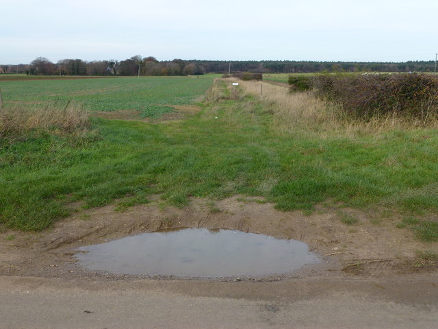
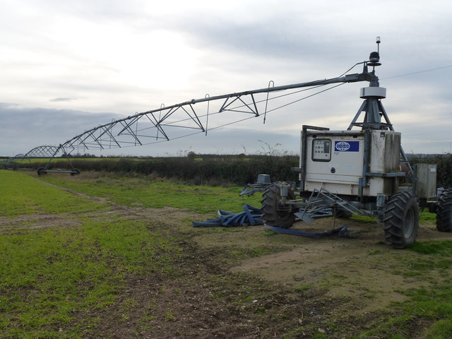
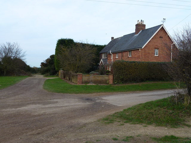
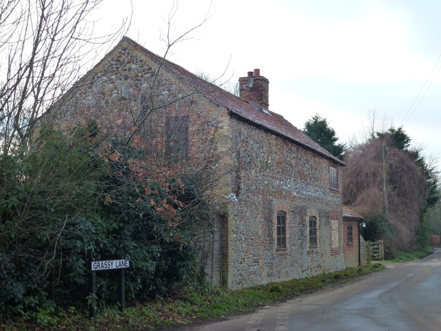
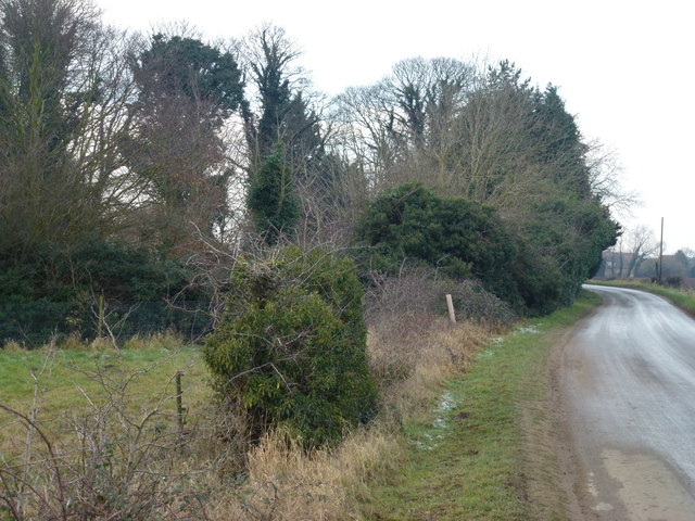
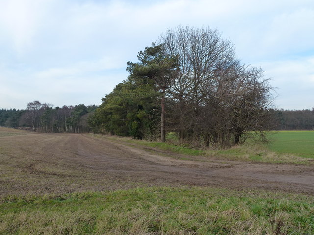
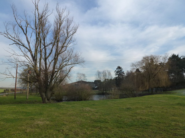
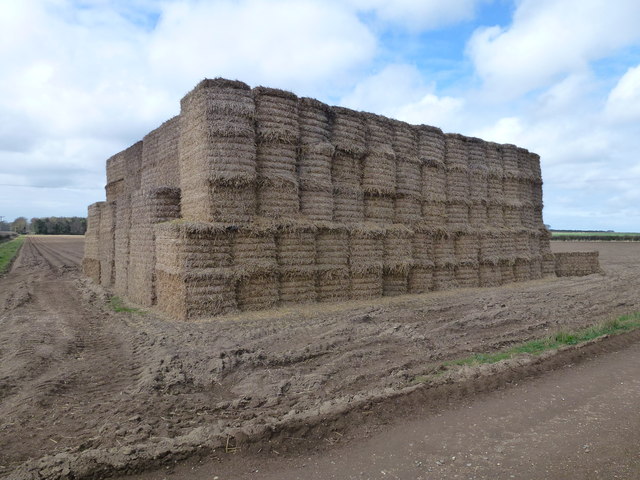
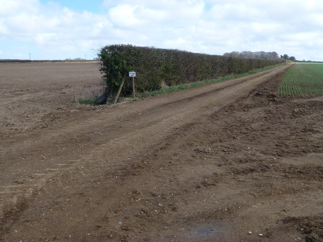
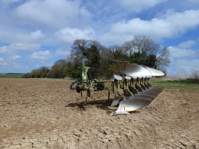
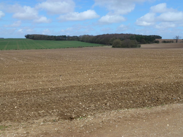
Old Scotch Wood Images

Images are sourced within 2km of 52.776593/0.56680715 or Grid Reference TF7322. Thanks to Geograph Open Source API. All images are credited.

Grass track off Broad Drove, Grimston, Norfolk
Giant irrigation rig in Norfolk Currently set up parallel to Eastgate Drove near the Tithe Farm, Grimston. There is a similar drive unit on the far end and intermediate support wheels which enables the rig to span this complete field about 750 metres wide and traverse over it.
Giant irrigation rig in Norfolk
Currently set up parallel to Eastgate Drove near the Tithe Farm, Grimston. There is a similar drive unit on the far end and intermediate support wheels which enables the rig to span this complete field about 750 metres wide and traverse over it.
Tythe Cottages, Eastgate Drove, Grimston, Norfolk
Frosty track in Congham, Norfolk
House at the end of Grassy Lane, Congham, Norfolk
Massingham Road near the Old Rectory, Grimston
Tree belt near Grimston Carr Looking north from Massingham Road
Tree belt near Grimston Carr
Looking north from Massingham Road
Pond near farm on Massingham Road Between Grimston and Great Massingham in Norfolk
Pond near farm on Massingham Road
Between Grimston and Great Massingham in Norfolk
Large straw stack east of Congham In the autumn, British carrot farmers start putting their crop “to bed” for the winter months by covering them with a thick layer of straw to protect them from the frost. This eco-friendly method of storage, takes place across large swathes of land in Nottinghamshire, Yorkshire, Lincolnshire, Norfolk, Suffolk and Scotland. The earth becomes nature’s larder, keeping the crop fresh and ready for harvest throughout the winter, allowing farmers to provide the UK with an 11-month supply of carrots. Before farmers adopted this practice in the 1990s, carrots were predominantly a summer vegetable.   <a title="https://www.geograph.org.uk/photo/3419185" href="https://www.geograph.org.uk/photo/3419185">Link</a>
Large straw stack east of Congham
In the autumn, British carrot farmers start putting their crop “to bed” for the winter months by covering them with a thick layer of straw to protect them from the frost. This eco-friendly method of storage, takes place across large swathes of land in Nottinghamshire, Yorkshire, Lincolnshire, Norfolk, Suffolk and Scotland. The earth becomes nature’s larder, keeping the crop fresh and ready for harvest throughout the winter, allowing farmers to provide the UK with an 11-month supply of carrots. Before farmers adopted this practice in the 1990s, carrots were predominantly a summer vegetable. Link
Private farm road north of Congham Heath
Rutted bridleway and plantation north of Congham Heath
Plantation and farmland near Congham
Large plough near Beech Plantation North of Congham Heath
Large plough near Beech Plantation
North of Congham Heath
Forty Acre Plantation and Belmont Ring Looking over typical flint covered farmland from a bridleway east of Manor Farm, Congham.
Forty Acre Plantation and Belmont Ring
Looking over typical flint covered farmland from a bridleway east of Manor Farm, Congham.
Bridleway and flint-covered farmland North of Congham Heath
Bridleway and flint-covered farmland
North of Congham Heath
Garden Plantation Adjoining a bridleway north of Congham Heath
Garden Plantation
Adjoining a bridleway north of Congham Heath
Flint covered field next to Garden Plantation North of Congham Heath in Norfolk
Flint covered field next to Garden Plantation
North of Congham Heath in Norfolk
Tractor and sprayer working near Congham Alongside a bridleway which starts near Manor Farm, Congham. This machine is probably sat-nav controlled as there were no guidance markers on this vast field
Tractor and sprayer working near Congham
Alongside a bridleway which starts near Manor Farm, Congham. This machine is probably sat-nav controlled as there were no guidance markers on this vast field
Show me another place!

Old Scotch Wood is located at Grid Ref: TF7322 (Lat: 52.776593, Lng: 0.56680715)

Administrative County: Norfolk

District: King's Lynn and West Norfolk

Police Authority: Norfolk

What 3 Words

///insect.toned.chestnuts. Near Grimston, Norfolk

Related Wikis

Grimston, Norfolk

Grimston is a village and civil parish in the English county of Norfolk, approximately 6 miles north-east of King's Lynn. It covers an area of 18.08 km2...

Congham

Congham is a village and civil parish in the English county of Norfolk. It is situated some 6 miles (10 km) east of the town of King's Lynn and 34 miles...

Hillington railway station

Hillington railway station was a station in Hillington, Norfolk on the now closed Midland and Great Northern Joint Railway line between South Lynn and...

Roydon, King's Lynn and West Norfolk

Roydon is a small village, civil parish and electoral ward east of King's Lynn in the English county of Norfolk. It covers an area of 4.62 km2 (1.78 sq...

Pott Row

Pott Row is an expanding village near King's Lynn, Norfolk. It is the western part of the civil and ecclesiastical Parish of Grimston. Pott Row and neighbouring...

Hillington, Norfolk

Hillington is a village and civil parish in the English county of Norfolk. It covers an area of 10.27 km2 (3.97 sq mi) and had a population of 287 in 123...

Grimston Road railway station

Grimston Road railway station was a railway station in North Norfolk. It was on the Midland and Great Northern Joint Railway main line, carrying traffic...

River Cong (Norfolk)

The River Cong is a stream in the west of the county of Norfolk, only 1.5 miles (2.4 km) in length. It is a tributary of the River Babingley. The spring...

Nearby Amenities

Located within 500m of 52.776593,0.56680715
Fixme: Does a Restricted Byway run west from here?
Note: Definitive Statement and historic OS 1:25k suggest Congham RB 12 ends here.
Lat/Long: 52.7763368/0.5701041
The data included in this document is from www.openstreetmap.org. The data is made available under ODbL.

Have you been to Old Scotch Wood?

Leave your review of Old Scotch Wood below (or comments, questions and feedback).