Catchley Belt
Wood, Forest in Suffolk West Suffolk
England
Catchley Belt
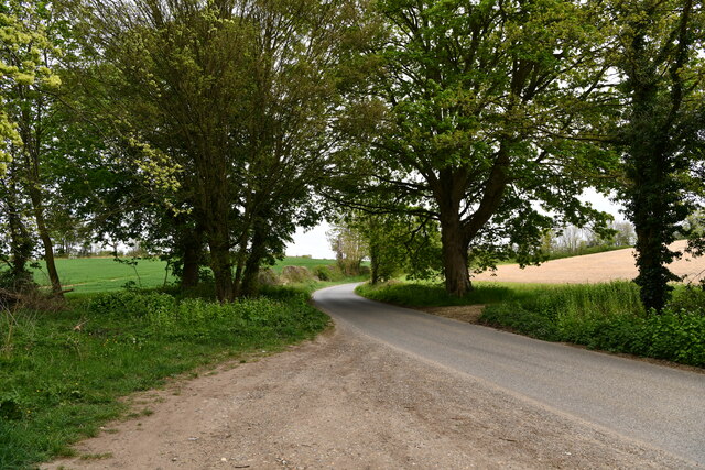
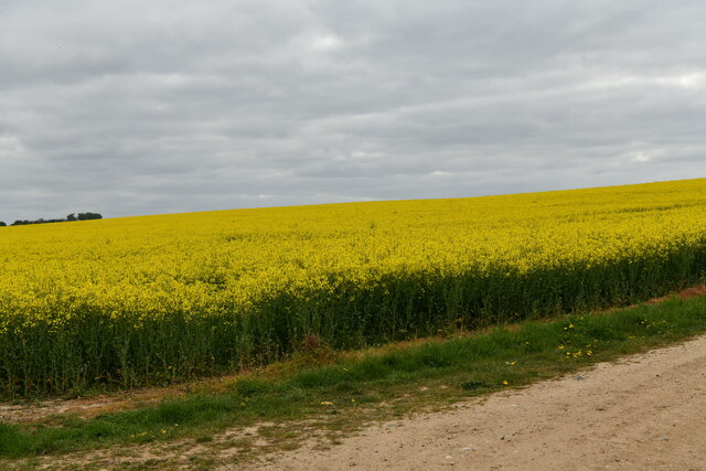
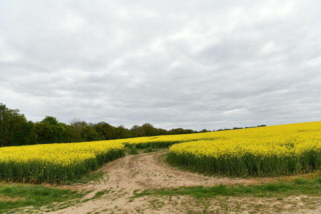
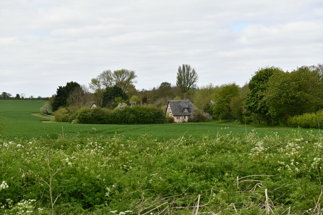
Catchley Belt is a charming forest located in Suffolk, England. Spanning over a vast area, it is renowned for its dense woodlands and picturesque landscapes. The forest is situated in the heart of Suffolk, making it easily accessible to both locals and tourists.
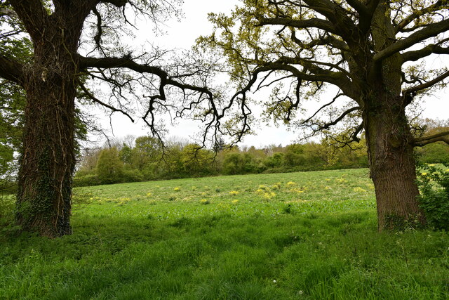
The woodlands in Catchley Belt are rich in biodiversity, housing a wide variety of flora and fauna. Towering oak and beech trees dominate the landscape, creating a serene and tranquil environment. The forest floor is adorned with a carpet of vibrant wildflowers during spring and summer, attracting numerous species of butterflies and birds.
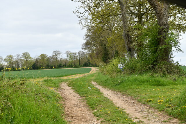
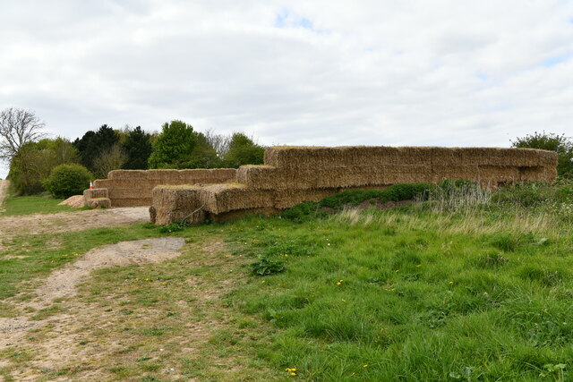
The forest offers a plethora of recreational activities for visitors to enjoy. There are well-maintained trails that wind through the woods, providing opportunities for hiking, jogging, and cycling. Nature enthusiasts can explore the forest's diverse ecosystem and observe the abundance of wildlife that calls Catchley Belt home.
For those seeking a peaceful retreat, Catchley Belt offers several picnic spots and secluded areas where one can relax and unwind amidst the sounds of nature. The forest also serves as an ideal location for birdwatching, with various species of birds, including woodpeckers and owls, making it their habitat.
Catchley Belt is not only a natural haven but also holds historical significance. The forest has witnessed various events throughout the years and is home to ancient ruins and archaeological sites, which add an extra layer of intrigue to its overall appeal.
With its scenic beauty, recreational activities, and historical significance, Catchley Belt in Suffolk is a must-visit destination for nature lovers and history enthusiasts alike.
If you have any feedback on the listing, please let us know in the comments section below.
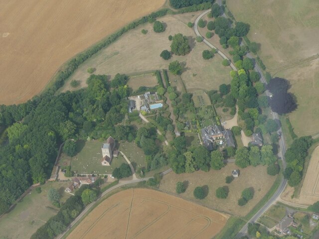
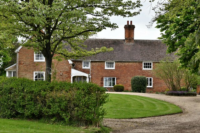
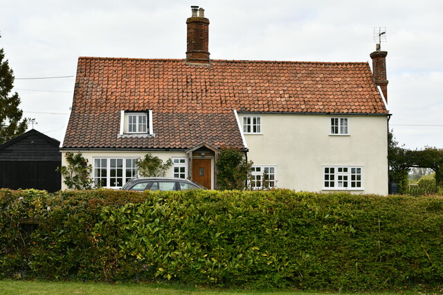
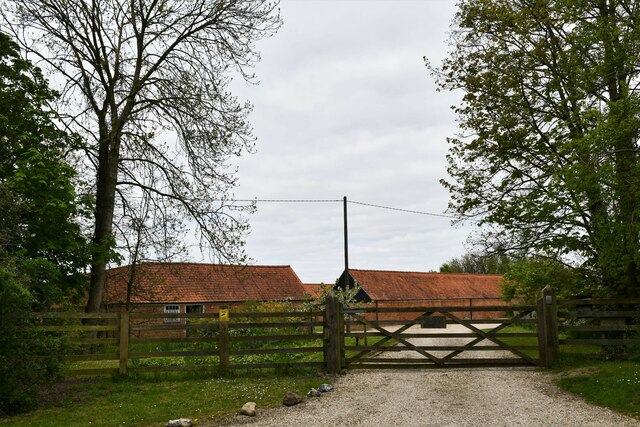
Catchley Belt Images
Images are sourced within 2km of 52.221632/0.53998768 or Grid Reference TL7361. Thanks to Geograph Open Source API. All images are credited.


Catchley Belt is located at Grid Ref: TL7361 (Lat: 52.221632, Lng: 0.53998768)
Administrative County: Suffolk
District: West Suffolk
Police Authority: Suffolk
What 3 Words
///carting.untrained.tries. Near Newmarket, Suffolk
Nearby Locations
Related Wikis
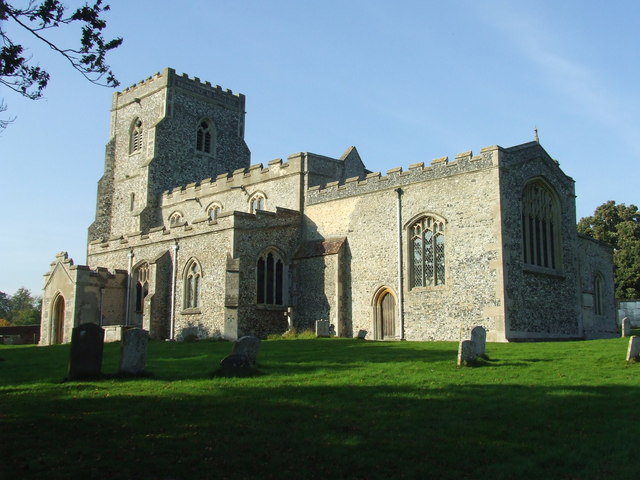
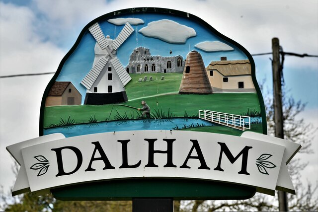
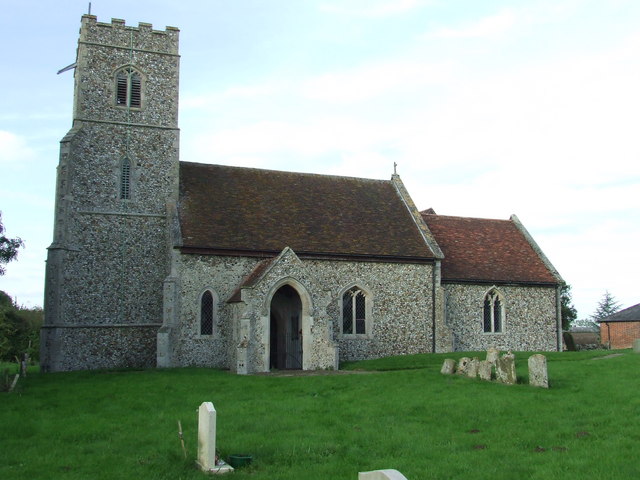
Dalham
Dalham is a village and civil parish in the West Suffolk district of Suffolk, England. The name, meaning 'homestead/village in a valley' is of Old English...
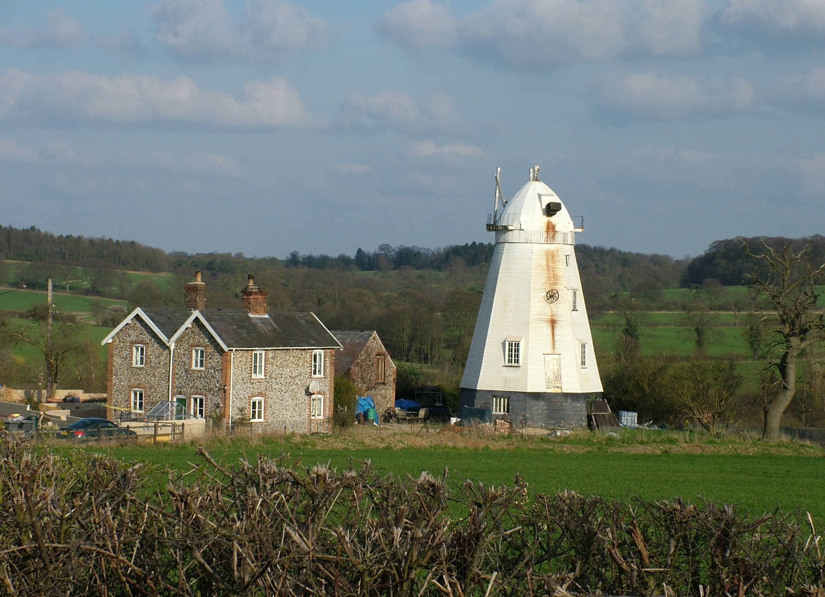
Lower Mill, Dalham
Lower Mill or Opposition Mill is a Grade II* listed smock mill at Dalham, Suffolk, England which has been preserved. == History == Lower Mill or Opposition...

Dalham Hall
Dalham Hall is a country house and 3,300-acre (13 km2) estate, located in the village of Dalham, Suffolk, near Newmarket, and 13 kilometres (8 mi) west...

Ousden
Ousden is a village and civil parish in the West Suffolk district of Suffolk in eastern England. It is located around six miles west of Bury St Edmunds...

Denham Castle
Denham Castle, also known as Castle Holes, is a medieval motte and bailey castle near the village of Gazeley, Suffolk, England. The castle was also known...

Desning Hall
Desning Hall was a manor house in Risbridge Hundred, in Suffolk, England, dating from Anglo-Saxon times. Desning Hall's last resident was Sidney Arthur...
Denham, West Suffolk
Denham is a village and civil parish in the West Suffolk district of Suffolk in eastern England. Located around five miles west of Bury St Edmunds, in...

Barrow, Suffolk
Barrow is a village and civil parish in the West Suffolk district of Suffolk, England, about eight miles west of Bury St Edmunds. According to Eilert Ekwall...
Have you been to Catchley Belt?
Leave your review of Catchley Belt below (or comments, questions and feedback).