Gravelpit Plantation
Wood, Forest in Suffolk West Suffolk
England
Gravelpit Plantation
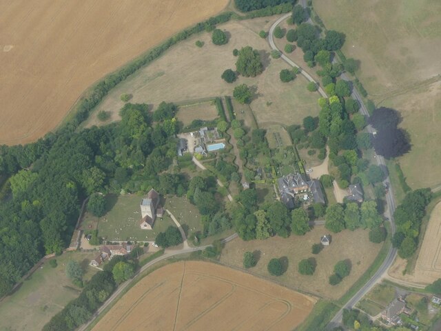
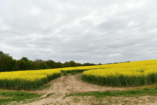
Gravelpit Plantation is a picturesque woodland located in Suffolk, England. Spanning over an area of approximately 100 acres, this plantation is known for its dense forest and scenic beauty. It is situated near the town of Wood, just a few miles away from the bustling city of Suffolk.
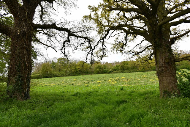
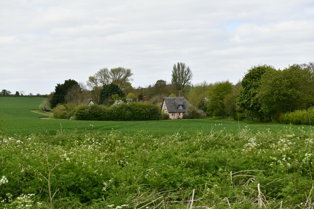
The woodland of Gravelpit Plantation is characterized by its diverse range of flora and fauna. The towering trees, including oak, beech, and birch, create a dense canopy that provides a haven for various bird species such as woodpeckers, owls, and thrushes. The forest floor is adorned with a carpet of bluebells and wildflowers during the spring season, attracting a multitude of butterflies and insects.
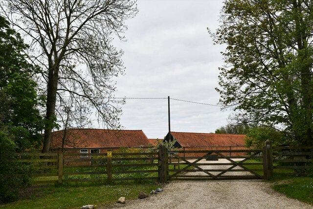
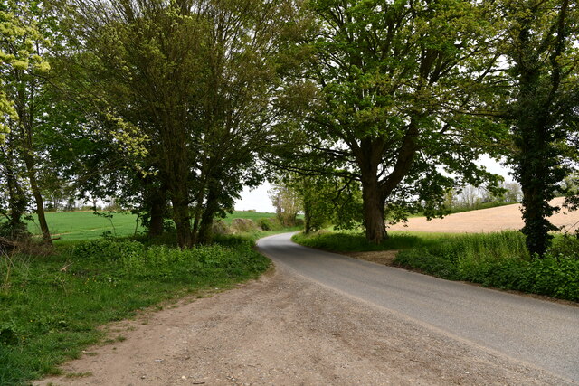
The plantation also features several walking trails and paths that wind through the woodland, offering visitors a chance to immerse themselves in nature. These trails are well-maintained and provide easy access to different parts of the plantation, ensuring that visitors can explore the area comfortably.
Gravelpit Plantation is not only a haven for wildlife enthusiasts and nature lovers but also serves as an important ecological site. It acts as a carbon sink, absorbing carbon dioxide and helping combat climate change. The woodland is managed sustainably, with regular tree planting and maintenance to ensure the health and longevity of the plantation.
Overall, Gravelpit Plantation in Suffolk offers a tranquil and scenic escape from the urban hustle and bustle. Its diverse wildlife, well-maintained trails, and ecological significance make it a must-visit destination for those seeking a peaceful retreat in nature.
If you have any feedback on the listing, please let us know in the comments section below.
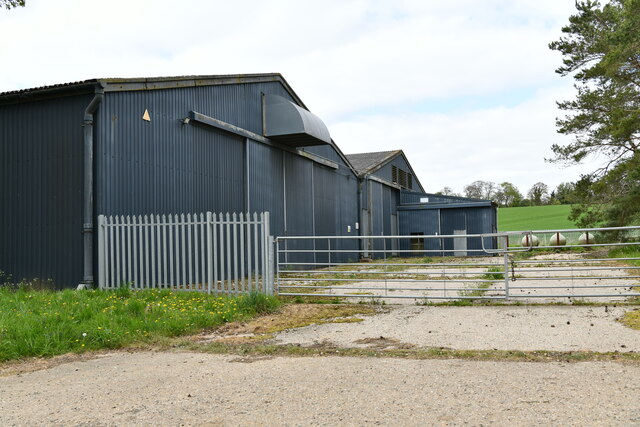
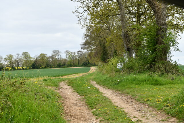
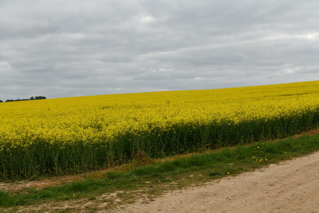
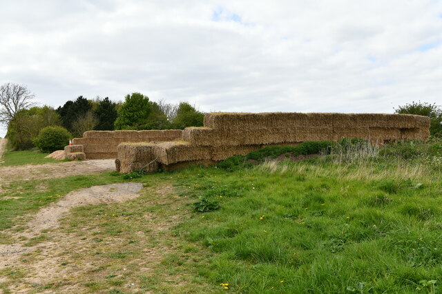
Gravelpit Plantation Images
Images are sourced within 2km of 52.221612/0.53379296 or Grid Reference TL7361. Thanks to Geograph Open Source API. All images are credited.


Gravelpit Plantation is located at Grid Ref: TL7361 (Lat: 52.221612, Lng: 0.53379296)
Administrative County: Suffolk
District: West Suffolk
Police Authority: Suffolk
What 3 Words
///arranges.quilting.mirror. Near Newmarket, Suffolk
Nearby Locations
Related Wikis
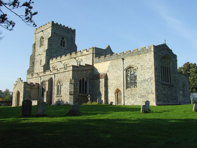
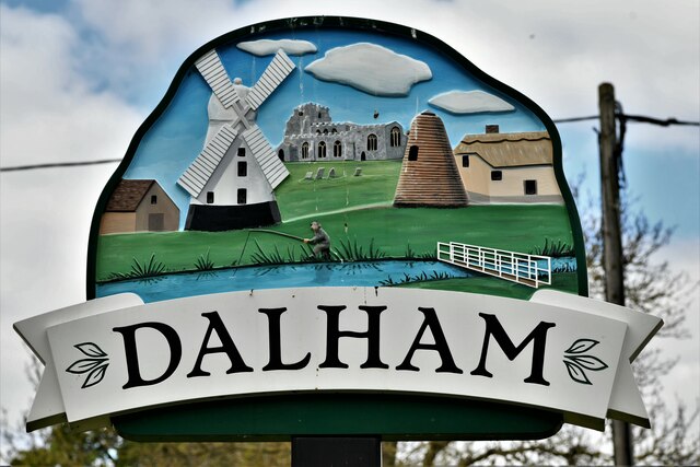
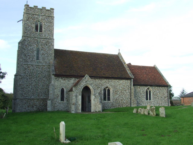
Dalham
Dalham is a village and civil parish in the West Suffolk district of Suffolk, England. The name, meaning 'homestead/village in a valley' is of Old English...
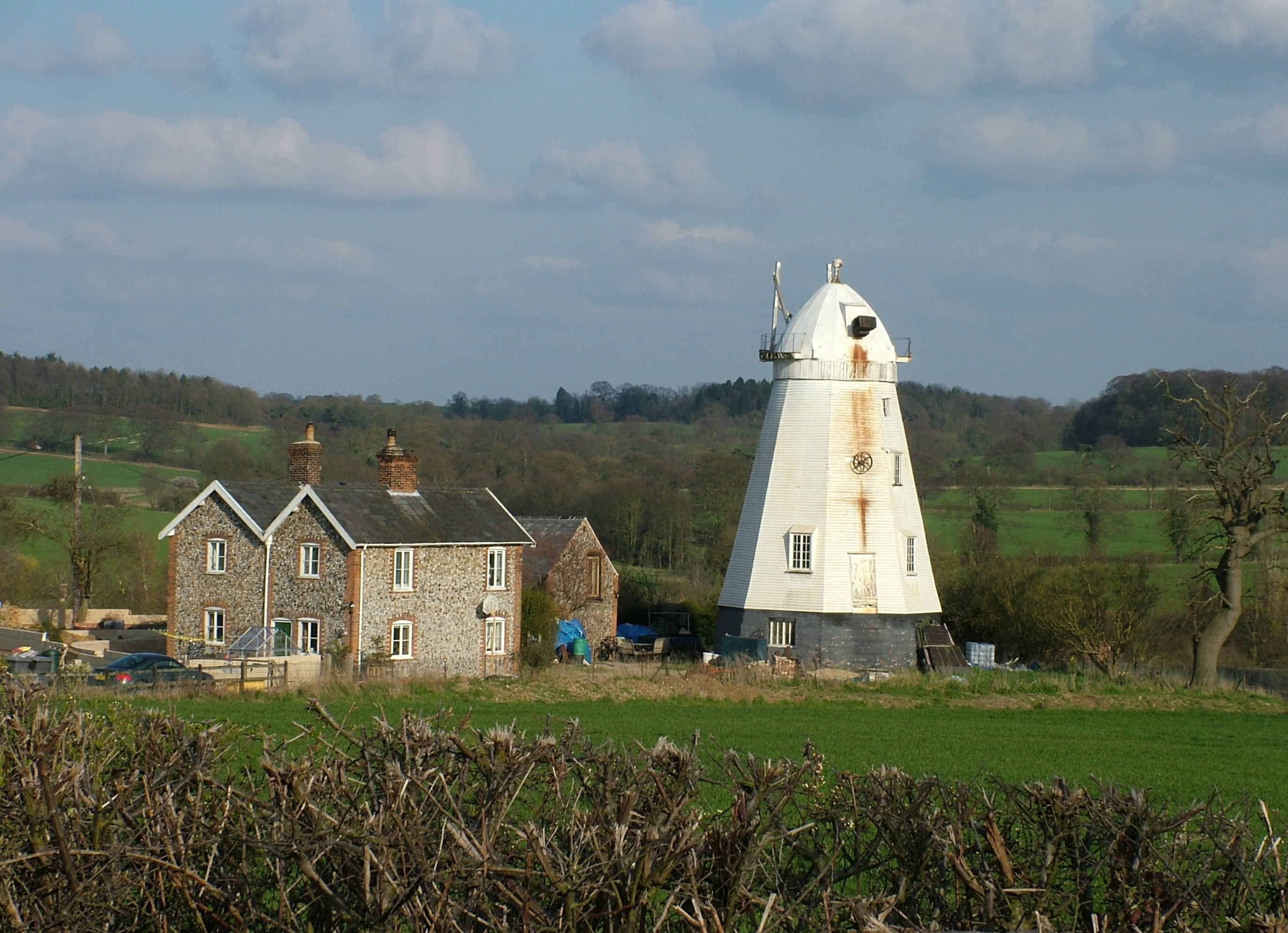
Lower Mill, Dalham
Lower Mill or Opposition Mill is a Grade II* listed smock mill at Dalham, Suffolk, England which has been preserved. == History == Lower Mill or Opposition...

Dalham Hall
Dalham Hall is a country house and 3,300-acre (13 km2) estate, located in the village of Dalham, Suffolk, near Newmarket, and 13 kilometres (8 mi) west...

Ousden
Ousden is a village and civil parish in the West Suffolk district of Suffolk in eastern England. It is located around six miles west of Bury St Edmunds...

Desning Hall
Desning Hall was a manor house in Risbridge Hundred, in Suffolk, England, dating from Anglo-Saxon times. Desning Hall's last resident was Sidney Arthur...

Denham Castle
Denham Castle, also known as Castle Holes, is a medieval motte and bailey castle near the village of Gazeley, Suffolk, England. The castle was also known...
Denham, West Suffolk
Denham is a village and civil parish in the West Suffolk district of Suffolk in eastern England. Located around five miles west of Bury St Edmunds, in...

Moulton Rural District
Moulton was a rural district in Suffolk, England from 1894 to 1935. It covered the area to the east of the town of Newmarket. The district was created...
Nearby Amenities
Located within 500m of 52.221612,0.53379296Have you been to Gravelpit Plantation?
Leave your review of Gravelpit Plantation below (or comments, questions and feedback).