Park Wood
Wood, Forest in Sussex Rother
England
Park Wood
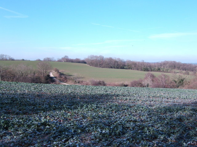
Park Wood is a picturesque woodland located in the county of Sussex, England. Covering an area of approximately 50 hectares, it is renowned for its diverse range of flora and fauna, making it a popular destination for nature enthusiasts and walkers alike.
The wood is characterized by a mix of deciduous and coniferous trees, including oak, beech, pine, and birch, which create a stunning canopy of greenery throughout the year. The woodland floor is adorned with an array of wildflowers such as bluebells, primroses, and wood anemones, adding bursts of color to the landscape.
The wood is home to a variety of wildlife, including several species of birds such as woodpeckers, owls, and warblers. Visitors may also spot mammals such as deer, foxes, and squirrels, as they roam freely in their natural habitat.
Tranquil walking trails wind their way through the wood, providing visitors with the opportunity to immerse themselves in the peaceful surroundings. The paths are well-maintained and suitable for all ages and abilities, making it an ideal destination for families and individuals looking to escape the hustle and bustle of everyday life.
In addition to its natural beauty, Park Wood holds historical significance, with remnants of ancient settlements and archaeological sites scattered throughout the area. These remnants serve as a reminder of the wood's long-standing connection to the local community and its rich cultural heritage.
Overall, Park Wood in Sussex offers a serene and enchanting escape into nature, providing visitors with the perfect opportunity to explore and appreciate the wonders of the natural world.
If you have any feedback on the listing, please let us know in the comments section below.
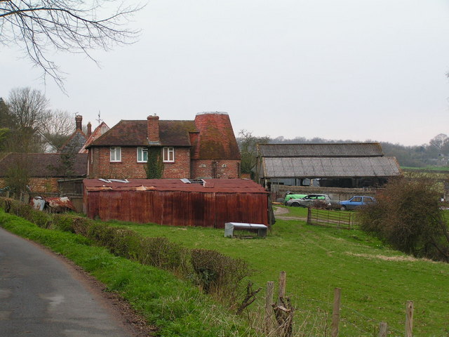
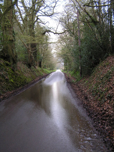
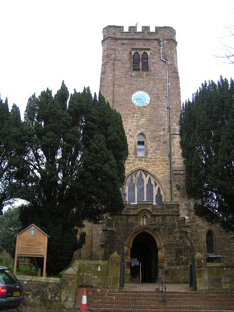
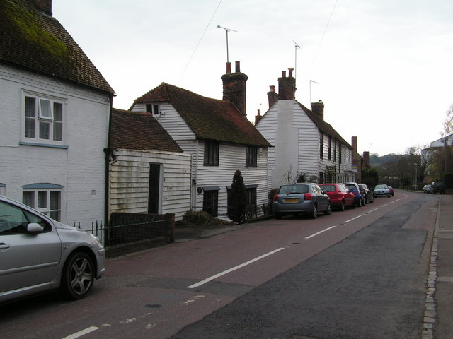
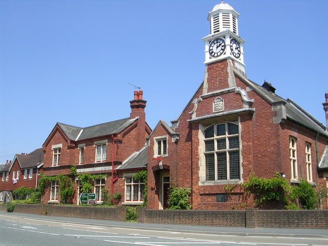
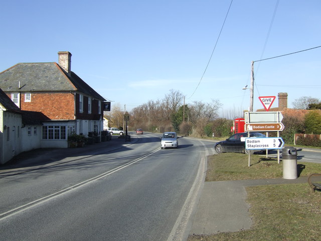
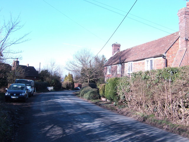
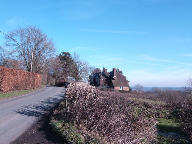
Park Wood Images
Images are sourced within 2km of 51.000108/0.47245311 or Grid Reference TQ7325. Thanks to Geograph Open Source API. All images are credited.


Park Wood is located at Grid Ref: TQ7325 (Lat: 51.000108, Lng: 0.47245311)
Administrative County: East Sussex
District: Rother
Police Authority: Sussex
What 3 Words
///freely.flat.rush. Near Robertsbridge, East Sussex
Nearby Locations
Related Wikis
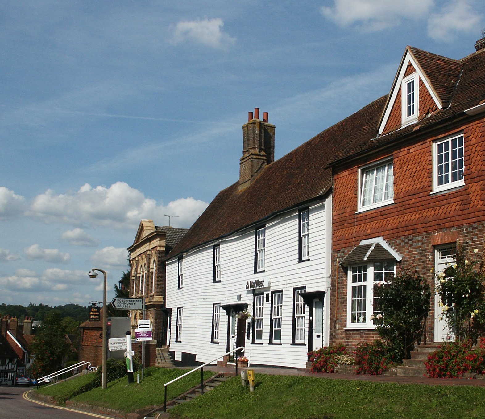
Robertsbridge
Robertsbridge is a village in the civil parish of Salehurst and Robertsbridge, and the Rother district of East Sussex, England. It is approximately 10...
Salehurst and Robertsbridge
Salehurst and Robertsbridge is a civil parish in the Rother district, in the county of East Sussex, England. The parish lies entirely within an Area of...

Salehurst
Salehurst is a village in the Rother district of East Sussex, England, within the civil parish of Salehurst and Robertsbridge. It lies immediately to the...
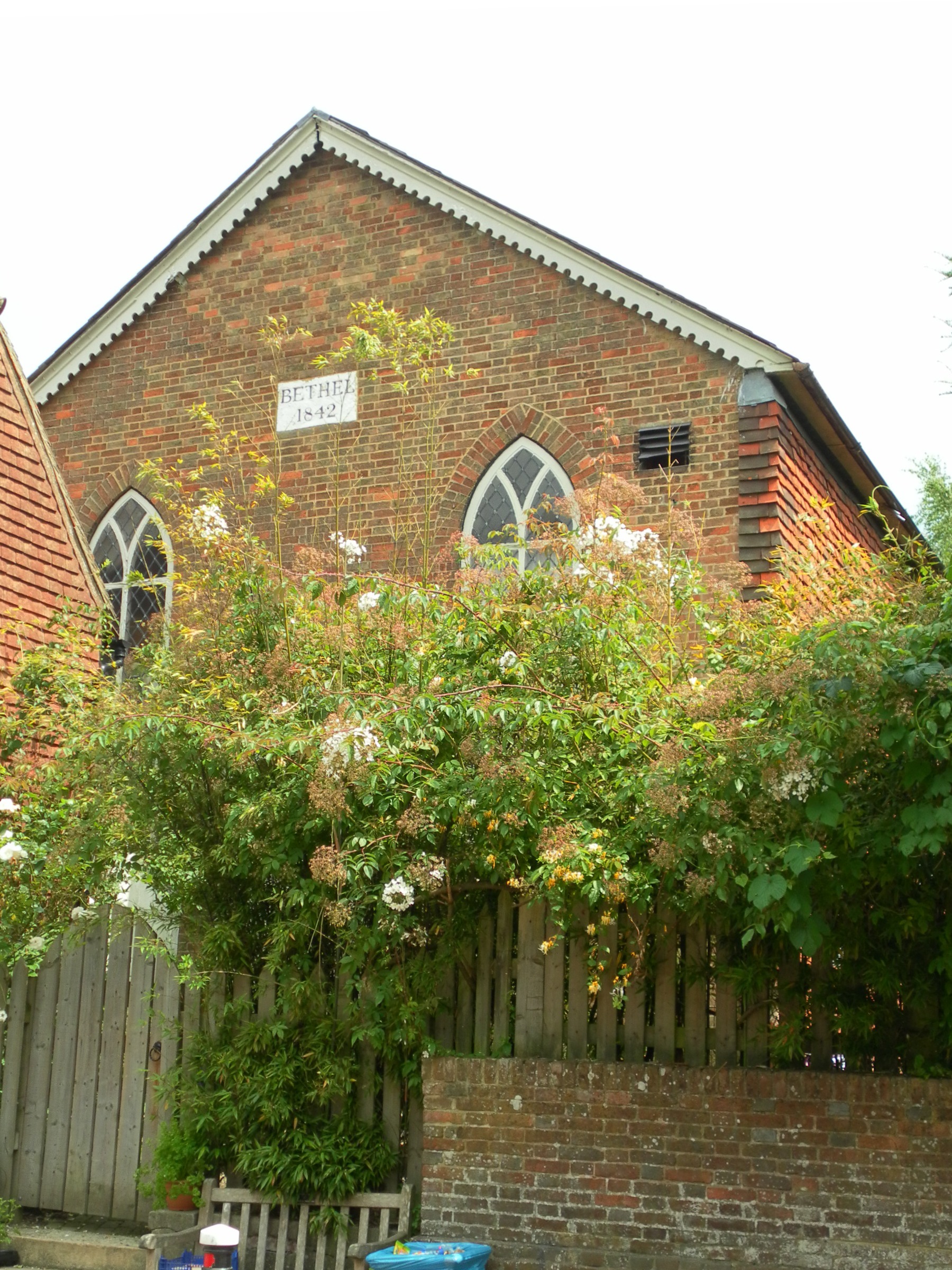
Bethel Strict Baptist Chapel, Robertsbridge
Bethel Strict Baptist Chapel (also described as Bethel Calvinist Chapel) is a former place of worship for Strict Baptists in Robertsbridge, a village in...

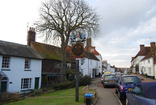
The Seven Stars Inn
The Seven Stars Inn is a 14th-century public house in Robertsbridge, East Sussex, a well-preserved example of a medieval building and a typical Sussex...
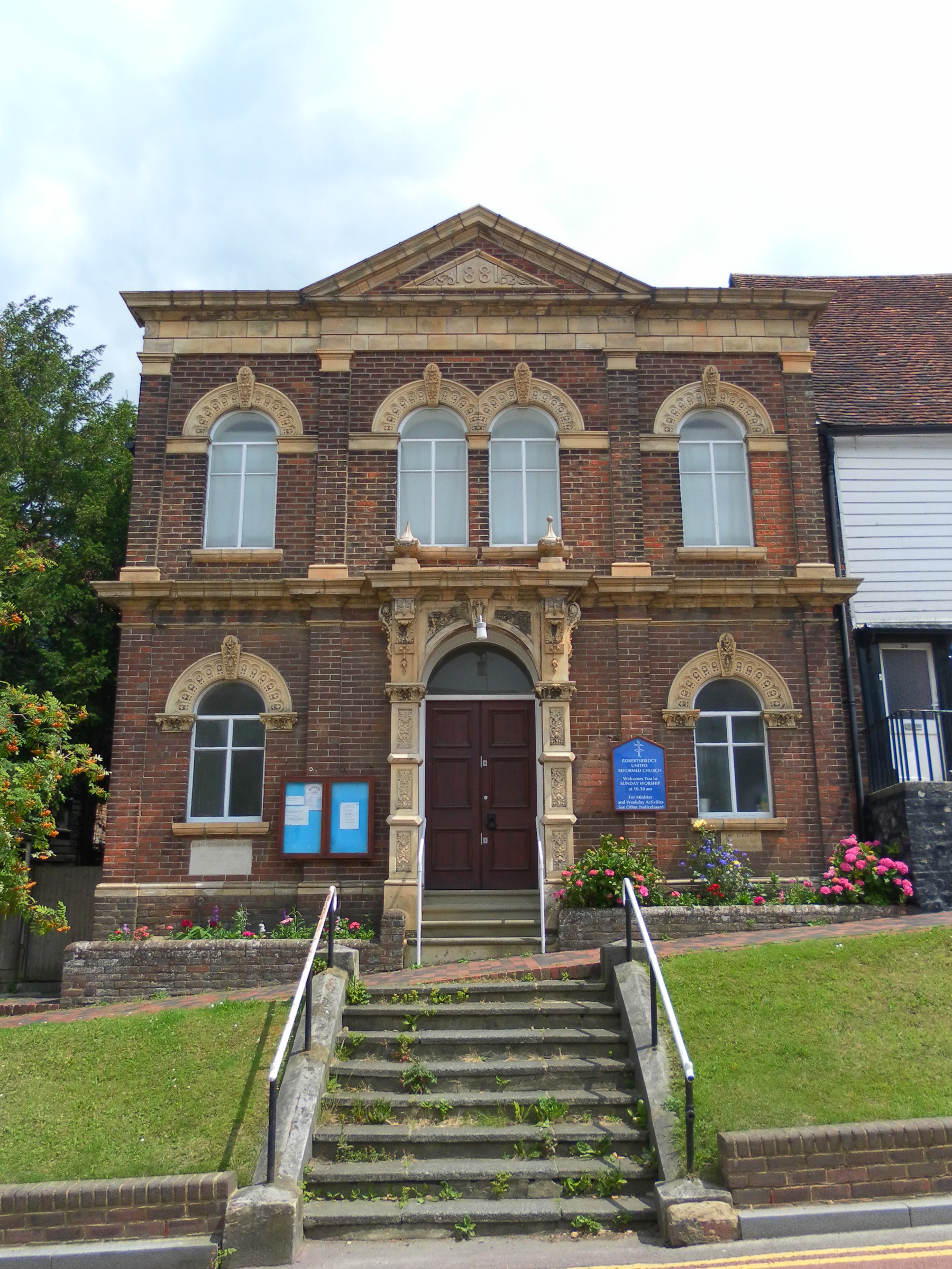
Robertsbridge United Reformed Church
Robertsbridge United Reformed Church (originally Robertsbridge Congregational Chapel) is a former United Reformed Church place of worship in Robertsbridge...

Robertsbridge Abbey
Robertsbridge Abbey was a Cistercian abbey in Robertsbridge, East Sussex, England. It was founded in 1176 by Alured and Alicia de St Martin. Due to its...
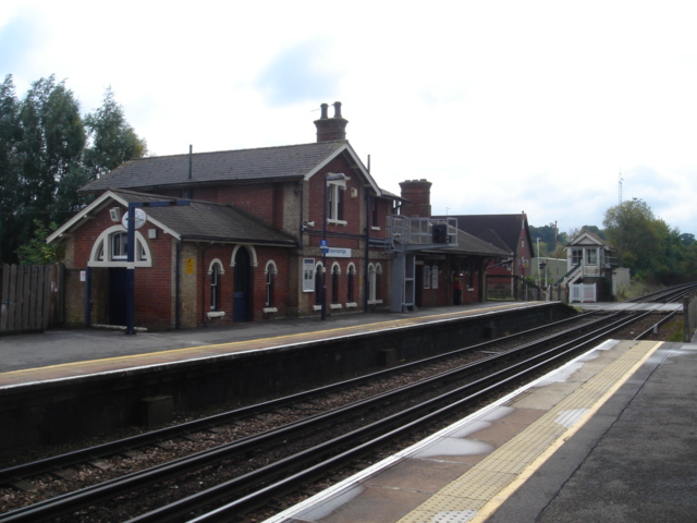
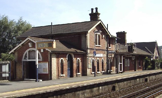
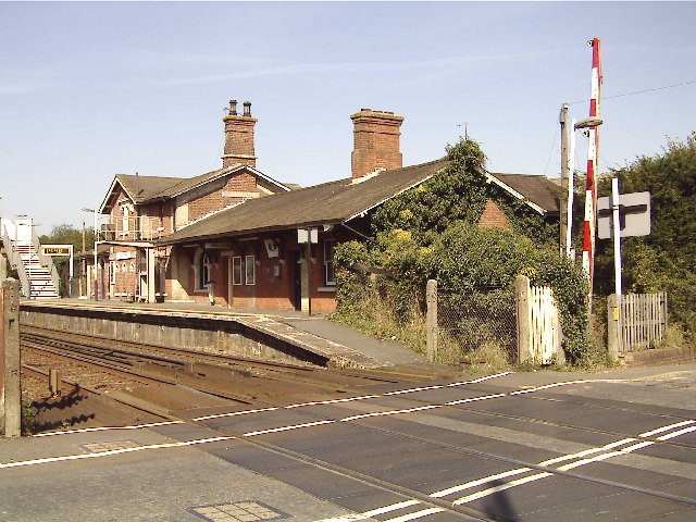
Robertsbridge railway station
Robertsbridge railway station is on the Hastings line in the south of England and serves the village of Robertsbridge, East Sussex. It is 49 miles 47 chains...
Nearby Amenities
Located within 500m of 51.000108,0.47245311Have you been to Park Wood?
Leave your review of Park Wood below (or comments, questions and feedback).