Avenue Plantation

Wood, Forest in Norfolk King's Lynn and West Norfolk

England

Avenue Plantation

Grass track off Broad Drove, Grimston, Norfolk
Grass track off Broad Drove, Grimston, Norfolk Credit: Richard Humphrey

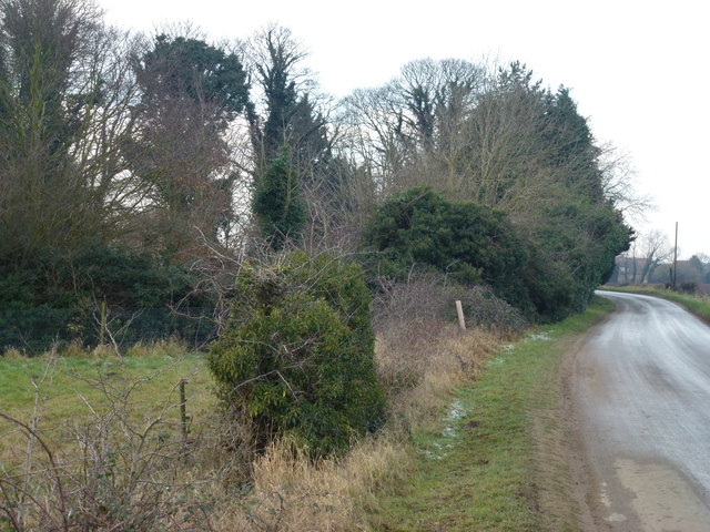
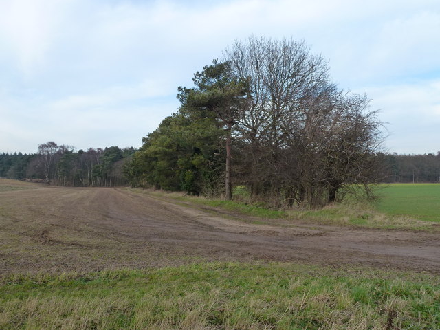
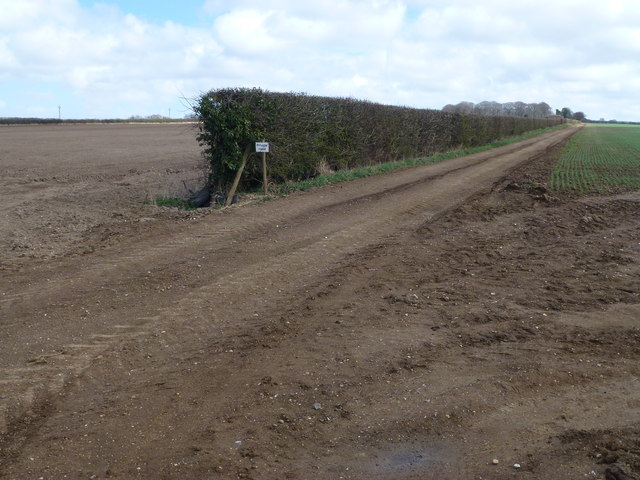
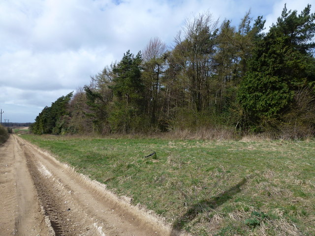
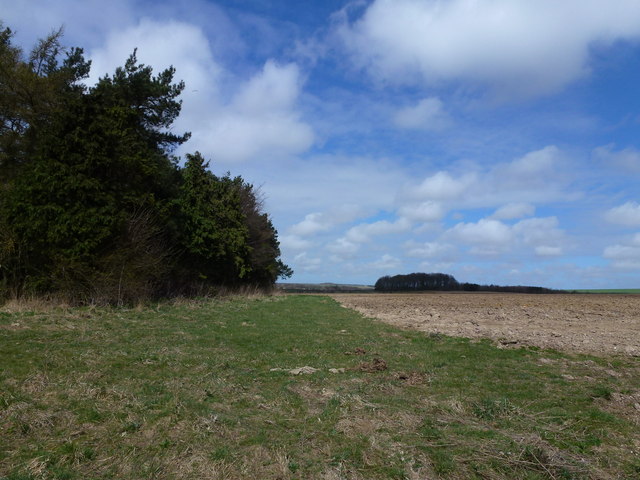
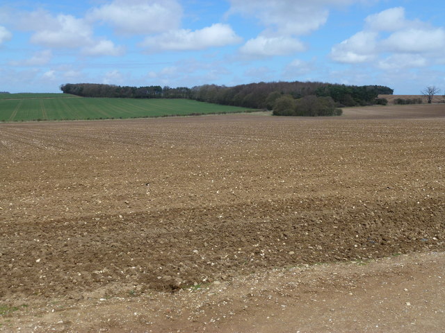
Avenue Plantation, located in Norfolk (Wood, Forest), is a charming and picturesque area known for its beautiful avenue of trees. This plantation is situated in the heart of Norfolk, a county in the East of England. The plantation is renowned for its dense and lush woodland, which creates a serene and tranquil atmosphere for visitors to enjoy.

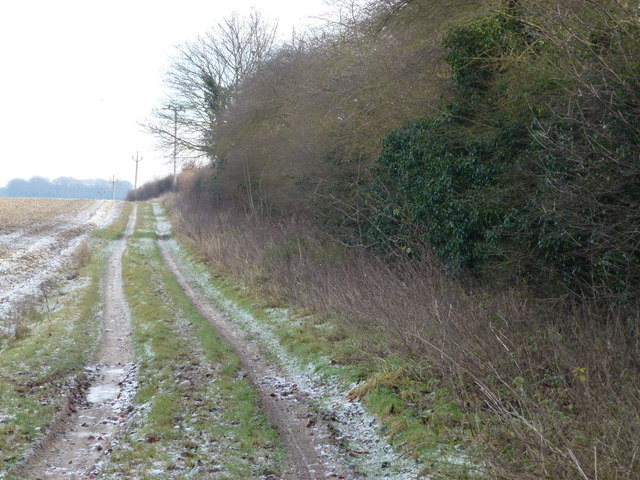
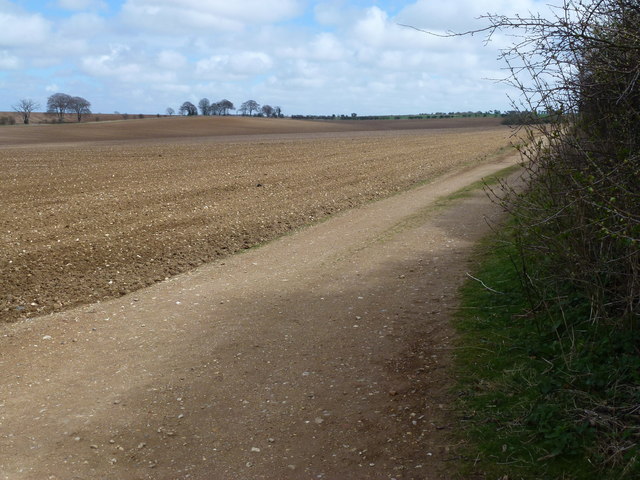
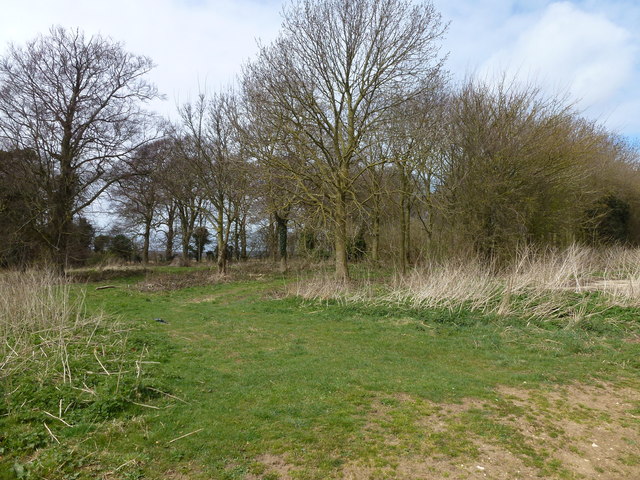
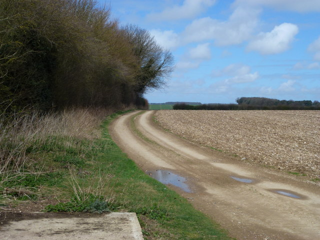
The main highlight of Avenue Plantation is its magnificent avenue of trees, which stretches for several miles. These trees, primarily consisting of oak and beech, create a stunning canopy overhead, forming a natural tunnel-like effect. The avenue is meticulously maintained, with the trees pruned and shaped to enhance the aesthetic appeal.

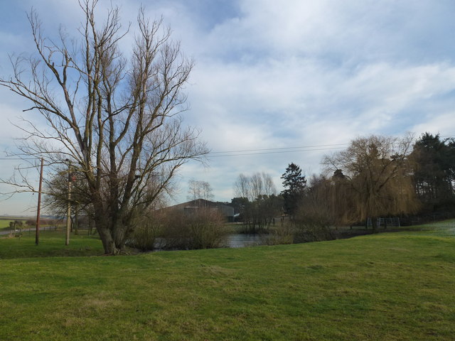
The plantation offers the perfect setting for leisurely walks, picnics, and nature appreciation. Visitors can explore the numerous walking trails that wind through the woodland, immersing themselves in the peaceful ambiance and admiring the diverse flora and fauna. The plantation is home to a variety of wildlife, including deer, rabbits, and a wide array of bird species.

Throughout the year, Avenue Plantation hosts various events and activities for the public. These include guided nature walks, educational programs, and seasonal festivities. The plantation also offers facilities such as picnic areas, benches, and information boards to enhance visitors' experience.

Avenue Plantation is easily accessible, with ample parking facilities available nearby. The plantation is a popular destination for both locals and tourists seeking an escape from the bustling city life and an opportunity to reconnect with nature.

If you have any feedback on the listing, please let us know in the comments section below.

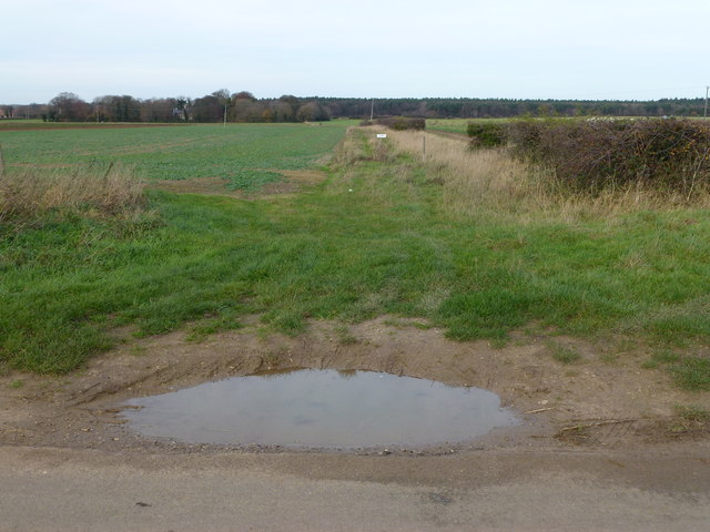
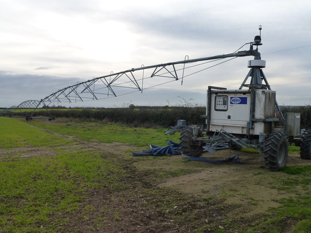
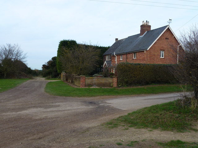
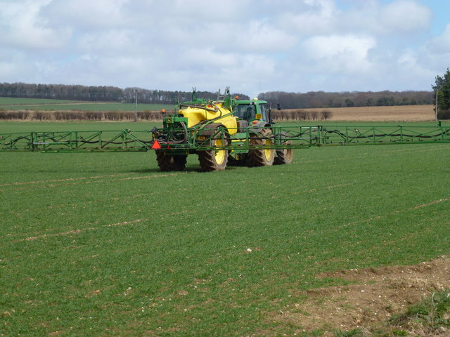
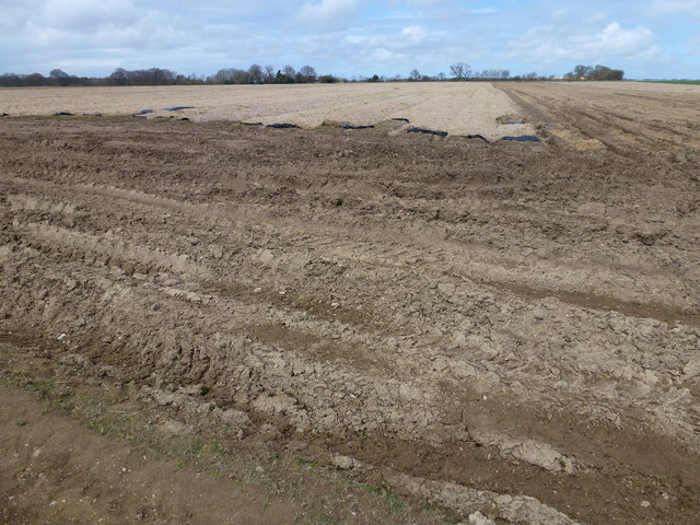
Avenue Plantation Images

Images are sourced within 2km of 52.779035/0.57197784 or Grid Reference TF7323. Thanks to Geograph Open Source API. All images are credited.

Grass track off Broad Drove, Grimston, Norfolk
Giant irrigation rig in Norfolk Currently set up parallel to Eastgate Drove near the Tithe Farm, Grimston. There is a similar drive unit on the far end and intermediate support wheels which enables the rig to span this complete field about 750 metres wide and traverse over it.
Giant irrigation rig in Norfolk
Currently set up parallel to Eastgate Drove near the Tithe Farm, Grimston. There is a similar drive unit on the far end and intermediate support wheels which enables the rig to span this complete field about 750 metres wide and traverse over it.
Tythe Cottages, Eastgate Drove, Grimston, Norfolk
Frosty track in Congham, Norfolk
Massingham Road near the Old Rectory, Grimston
Tree belt near Grimston Carr Looking north from Massingham Road
Tree belt near Grimston Carr
Looking north from Massingham Road
Pond near farm on Massingham Road Between Grimston and Great Massingham in Norfolk
Pond near farm on Massingham Road
Between Grimston and Great Massingham in Norfolk
Large straw stack east of Congham In the autumn, British carrot farmers start putting their crop “to bed” for the winter months by covering them with a thick layer of straw to protect them from the frost. This eco-friendly method of storage, takes place across large swathes of land in Nottinghamshire, Yorkshire, Lincolnshire, Norfolk, Suffolk and Scotland. The earth becomes nature’s larder, keeping the crop fresh and ready for harvest throughout the winter, allowing farmers to provide the UK with an 11-month supply of carrots. Before farmers adopted this practice in the 1990s, carrots were predominantly a summer vegetable.   <a title="https://www.geograph.org.uk/photo/3419185" href="https://www.geograph.org.uk/photo/3419185">Link</a>
Large straw stack east of Congham
In the autumn, British carrot farmers start putting their crop “to bed” for the winter months by covering them with a thick layer of straw to protect them from the frost. This eco-friendly method of storage, takes place across large swathes of land in Nottinghamshire, Yorkshire, Lincolnshire, Norfolk, Suffolk and Scotland. The earth becomes nature’s larder, keeping the crop fresh and ready for harvest throughout the winter, allowing farmers to provide the UK with an 11-month supply of carrots. Before farmers adopted this practice in the 1990s, carrots were predominantly a summer vegetable. Link
Private farm road north of Congham Heath
Rutted bridleway and plantation north of Congham Heath
Plantation and farmland near Congham
Large plough near Beech Plantation North of Congham Heath
Large plough near Beech Plantation
North of Congham Heath
Forty Acre Plantation and Belmont Ring Looking over typical flint covered farmland from a bridleway east of Manor Farm, Congham.
Forty Acre Plantation and Belmont Ring
Looking over typical flint covered farmland from a bridleway east of Manor Farm, Congham.
Bridleway and flint-covered farmland North of Congham Heath
Bridleway and flint-covered farmland
North of Congham Heath
Garden Plantation Adjoining a bridleway north of Congham Heath
Garden Plantation
Adjoining a bridleway north of Congham Heath
Flint covered field next to Garden Plantation North of Congham Heath in Norfolk
Flint covered field next to Garden Plantation
North of Congham Heath in Norfolk
Tractor and sprayer working near Congham Alongside a bridleway which starts near Manor Farm, Congham. This machine is probably sat-nav controlled as there were no guidance markers on this vast field
Tractor and sprayer working near Congham
Alongside a bridleway which starts near Manor Farm, Congham. This machine is probably sat-nav controlled as there were no guidance markers on this vast field
This is why you can always buy fresh carrots This crop of carrots has been covered with straw and plastic sheeting all winter near Manor Farm, Congham. It has been partially harvested during very difficult muddy and wet conditions.
In the autumn, British carrot farmers start putting their crop “to bed” for the winter months by covering them with a thick layer of straw to protect them from the frost. This eco-friendly method of storage, takes place across large swathes of land in Nottinghamshire, Yorkshire, Lincolnshire, Norfolk, Suffolk and Scotland. The earth becomes nature’s larder, keeping the crop fresh and ready for harvest throughout the winter, allowing farmers to provide the UK with an 11-month supply of carrots. Before farmers adopted this practice in the 1990s, carrots were predominantly a summer vegetable. 
( Extracted from  <span class="nowrap"><a title="http://britishcarrots.co.uk/growing/the-carrot-year/" rel="nofollow ugc noopener" href="http://britishcarrots.co.uk/growing/the-carrot-year/">Link</a><img style="margin-left:2px;" alt="External link" title="External link - shift click to open in new window" src="https://s1.geograph.org.uk/img/external.png" width="10" height="10"/></span> ) 
See <a title="https://www.geograph.org.uk/photo/3419189" href="https://www.geograph.org.uk/photo/3419189">Link</a> for a photo of the harvester
This is why you can always buy fresh carrots
This crop of carrots has been covered with straw and plastic sheeting all winter near Manor Farm, Congham. It has been partially harvested during very difficult muddy and wet conditions. In the autumn, British carrot farmers start putting their crop “to bed” for the winter months by covering them with a thick layer of straw to protect them from the frost. This eco-friendly method of storage, takes place across large swathes of land in Nottinghamshire, Yorkshire, Lincolnshire, Norfolk, Suffolk and Scotland. The earth becomes nature’s larder, keeping the crop fresh and ready for harvest throughout the winter, allowing farmers to provide the UK with an 11-month supply of carrots. Before farmers adopted this practice in the 1990s, carrots were predominantly a summer vegetable. ( Extracted from LinkExternal link ) See Link for a photo of the harvester
Show me another place!

Avenue Plantation is located at Grid Ref: TF7323 (Lat: 52.779035, Lng: 0.57197784)

Administrative County: Norfolk

District: King's Lynn and West Norfolk

Police Authority: Norfolk

What 3 Words

///cost.stammer.recording. Near Grimston, Norfolk

Related Wikis

Grimston, Norfolk

Grimston is a village and civil parish in the English county of Norfolk, approximately 6 miles north-east of King's Lynn. It covers an area of 18.08 km2...

Congham

Congham is a village and civil parish in the English county of Norfolk. It is situated some 6 miles (10 km) east of the town of King's Lynn and 34 miles...

Hillington railway station

Hillington railway station was a station in Hillington, Norfolk on the now closed Midland and Great Northern Joint Railway line between South Lynn and...

Hillington, Norfolk

Hillington is a village and civil parish in the English county of Norfolk. It covers an area of 10.27 km2 (3.97 sq mi) and had a population of 287 in 123...

Roydon, King's Lynn and West Norfolk

Roydon is a small village, civil parish and electoral ward east of King's Lynn in the English county of Norfolk. It covers an area of 4.62 km2 (1.78 sq...

Pott Row

Pott Row is an expanding village near King's Lynn, Norfolk. It is the western part of the civil and ecclesiastical Parish of Grimston. Pott Row and neighbouring...

Flitcham, Norfolk

Flitcham is a village and civil parish in the English county of Norfolk. The village is located 7.1 miles (11.4 km) north-east of King's Lynn and 33 miles...

Grimston Road railway station

Grimston Road railway station was a railway station in North Norfolk. It was on the Midland and Great Northern Joint Railway main line, carrying traffic...

Nearby Amenities

Located within 500m of 52.779035,0.57197784
Fixme: Does a Restricted Byway run west from here?
Note: Definitive Statement and historic OS 1:25k suggest Congham RB 12 ends here.
Lat/Long: 52.7763368/0.5701041
The data included in this document is from www.openstreetmap.org. The data is made available under ODbL.

Have you been to Avenue Plantation?

Leave your review of Avenue Plantation below (or comments, questions and feedback).