Fir Wood

Wood, Forest in Norfolk King's Lynn and West Norfolk

England

Fir Wood

Barley fields near Thornham Corner
Barley fields near Thornham Corner Credit: Jonathan Thacker

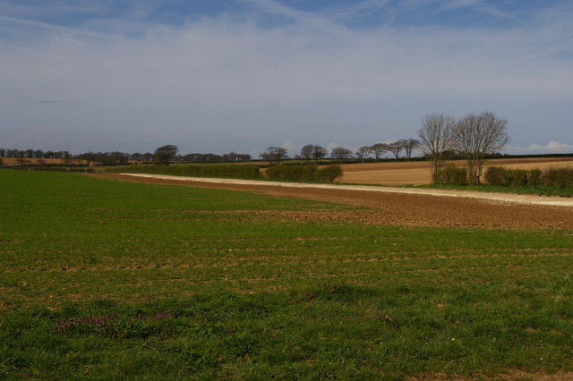
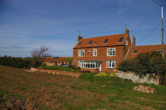
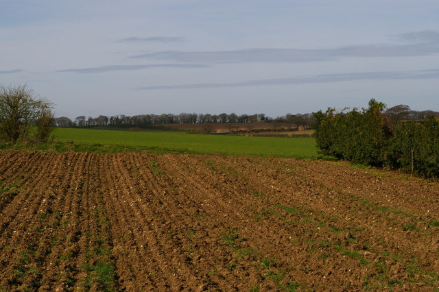
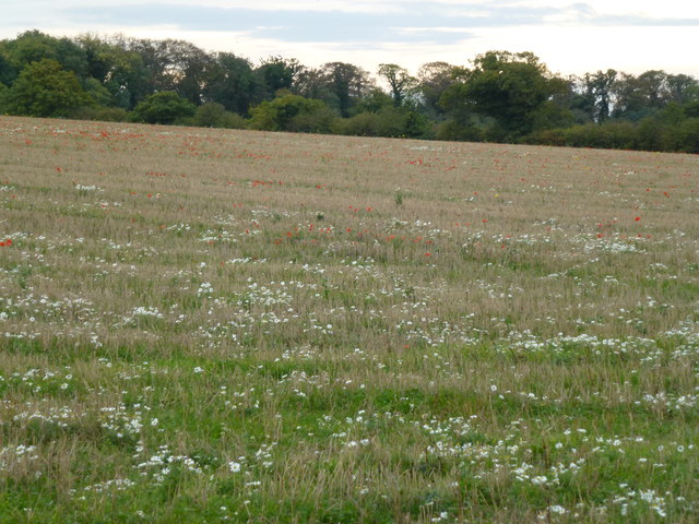
Fir Wood, located in Norfolk, England, is a picturesque forest area known for its dense population of fir trees. Covering an estimated area of several acres, this woodland is a popular destination for nature lovers and outdoor enthusiasts.

The forest boasts a diverse range of flora and fauna, with the towering fir trees dominating the landscape. These evergreen conifers are characterized by their straight trunks, needle-like leaves, and cones that release seeds. The trees provide a dense canopy, creating a cool and peaceful environment for visitors.

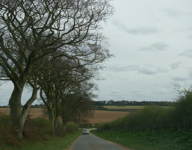
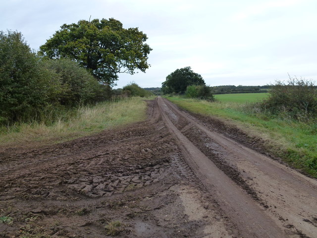
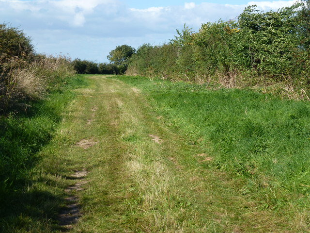
Fir Wood offers a variety of trails and paths, making it an ideal location for hiking, walking, and exploring. The forest floor is covered in a thick layer of fallen leaves and moss, adding to the enchanting atmosphere. Wildlife is abundant in the area, with sightings of birds, squirrels, and deer being common.

Throughout the year, the forest undergoes captivating transformations. In spring, the woods come alive with vibrant wildflowers and the sounds of birdsong. Summer brings lush greenery, providing shade and respite from the heat. Autumn is a particularly beautiful time, as the foliage turns into a kaleidoscope of reds, oranges, and yellows. Even in winter, Fir Wood holds its charm, with frost-covered branches and a serene atmosphere.

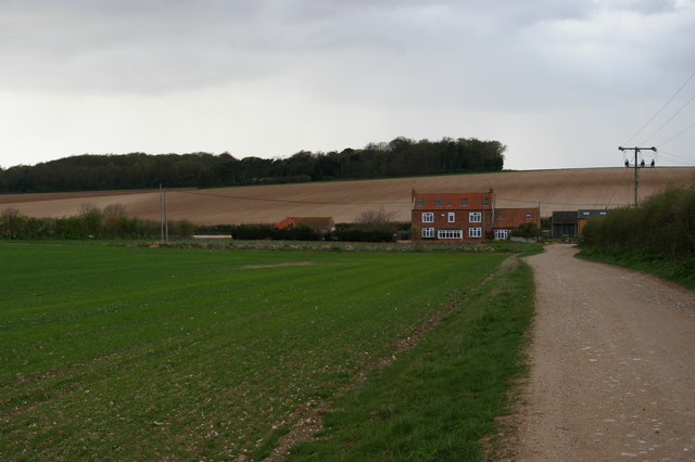
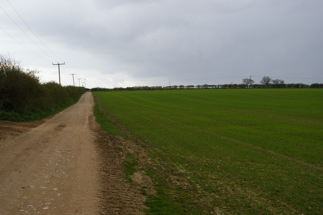
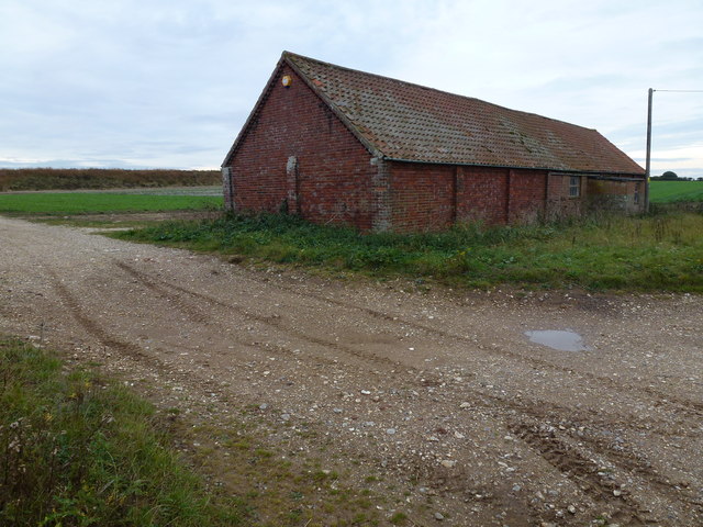
Fir Wood is easily accessible, with nearby parking and well-maintained paths. Visitors can enjoy a peaceful escape from the hustle and bustle of everyday life, immersing themselves in the tranquility of nature. Whether for a leisurely stroll, a family picnic, or birdwatching, Fir Wood offers a serene and captivating experience for all who venture into its depths.

If you have any feedback on the listing, please let us know in the comments section below.
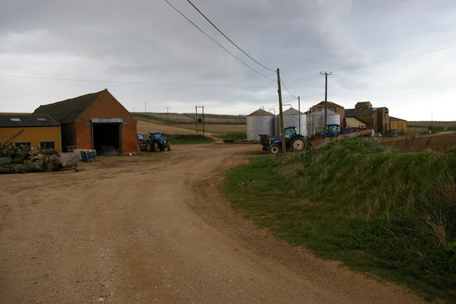
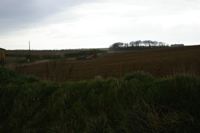
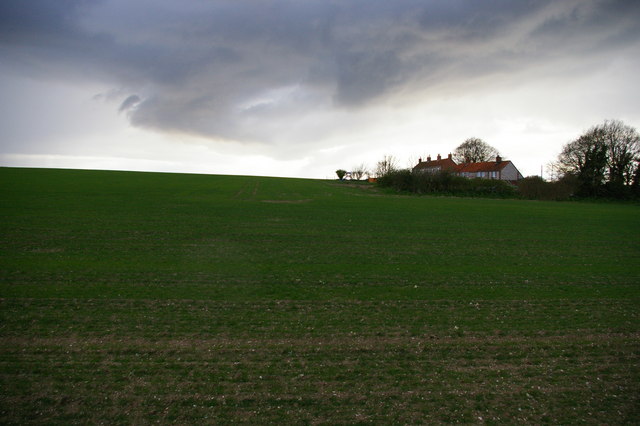
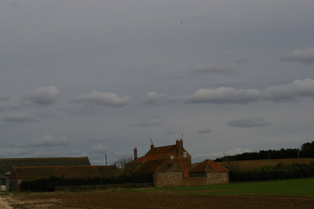
Fir Wood Images

Images are sourced within 2km of 52.927108/0.57836945 or Grid Reference TF7339. Thanks to Geograph Open Source API. All images are credited.

Barley fields near Thornham Corner
Wheat field near Summerfield
Lyng Farm: the track from the main lane
Beech avenue, on the lane descending Beacon Hill Taken from a moving car whose windscreen was not 100% clean...
Beech avenue, on the lane descending Beacon Hill
Taken from a moving car whose windscreen was not 100% clean...
Lyng Farm from south Now a holiday cottage.
Lyng Farm from south
Now a holiday cottage.
Track climbing away from Lyng Farm
Agricultural buildings by Lyng Farm Although Lyng Farm itself is now a holiday cottage, the land around it forms part of the combined Thornham Farms and a complex of agricultural buildings is still in use adjacent to the former farmhouse.
Agricultural buildings by Lyng Farm
Although Lyng Farm itself is now a holiday cottage, the land around it forms part of the combined Thornham Farms and a complex of agricultural buildings is still in use adjacent to the former farmhouse.
Track leading east away from Lyng Farm
Cottages south of Lyng Farm
Lyng Farm from the west Now a holiday cottage.
Lyng Farm from the west
Now a holiday cottage.
Lyng Farm from the south-east Now a holiday cottage.
Lyng Farm from the south-east
Now a holiday cottage.
Field south of Lyng Farm, from the access track
"Caution Mud on Road" near Ringstead, Norfolk Burnham Road east of Ringstead. Little or no effort appears to have been make to clear this metalled lane surface covered in soil from potato harvesting. At least there was a caution sign on the roadside.
"Caution Mud on Road" near Ringstead, Norfolk
Burnham Road east of Ringstead. Little or no effort appears to have been make to clear this metalled lane surface covered in soil from potato harvesting. At least there was a caution sign on the roadside.
Cattle shed and track near Courtyard Farm On Burnham Road east of Ringstead, Norfolk
Cattle shed and track near Courtyard Farm
On Burnham Road east of Ringstead, Norfolk
Wild flowers at Courtyard Farm, Ringstead
Brick barn on Burnham Road East of Ringstead. There is a recently constructed reservoir behind the bank on the horizon
Brick barn on Burnham Road
East of Ringstead. There is a recently constructed reservoir behind the bank on the horizon
Bridleway south of Thornham
Green lane south of Thornham It is also a public bridleway
Green lane south of Thornham
It is also a public bridleway
Show me another place!

Fir Wood is located at Grid Ref: TF7339 (Lat: 52.927108, Lng: 0.57836945)

Administrative County: Norfolk

District: King's Lynn and West Norfolk

Police Authority: Norfolk

What 3 Words

///bypasses.forehand.sues. Near Hunstanton, Norfolk

Related Wikis

Choseley

Choseley is a tiny hamlet and civil parish in the English county of Norfolk. It is situated between the villages of Titchwell and Docking and about 4 kilometres...

Ringstead, Norfolk

Ringstead is a village and civil parish in the north-west corner of the English county of Norfolk. It covers an area of 11.13 km2 (4.30 sq mi) and had...

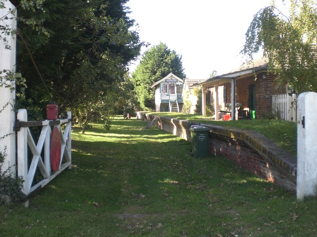
Sedgeford railway station

Sedgeford was a railway station which served the village of Sedgeford in Norfolk, England. Opened by the West Norfolk Junction Railway in 1866, passenger...

Sedgeford Torc

The Sedgeford Torc is a broken Iron Age gold torc found near the village of Sedgeford in Norfolk. The main part of the torc was found during harrowing...

Thornham, Norfolk

Thornham is a village and civil parish in the English county of Norfolk. It is situated on the north Norfolk coast some 7 kilometres (4.3 mi) north-east...

Docking railway station

Docking railway station was a station in Norfolk, serving the village of Docking. It closed to passengers in 1952. == References ==

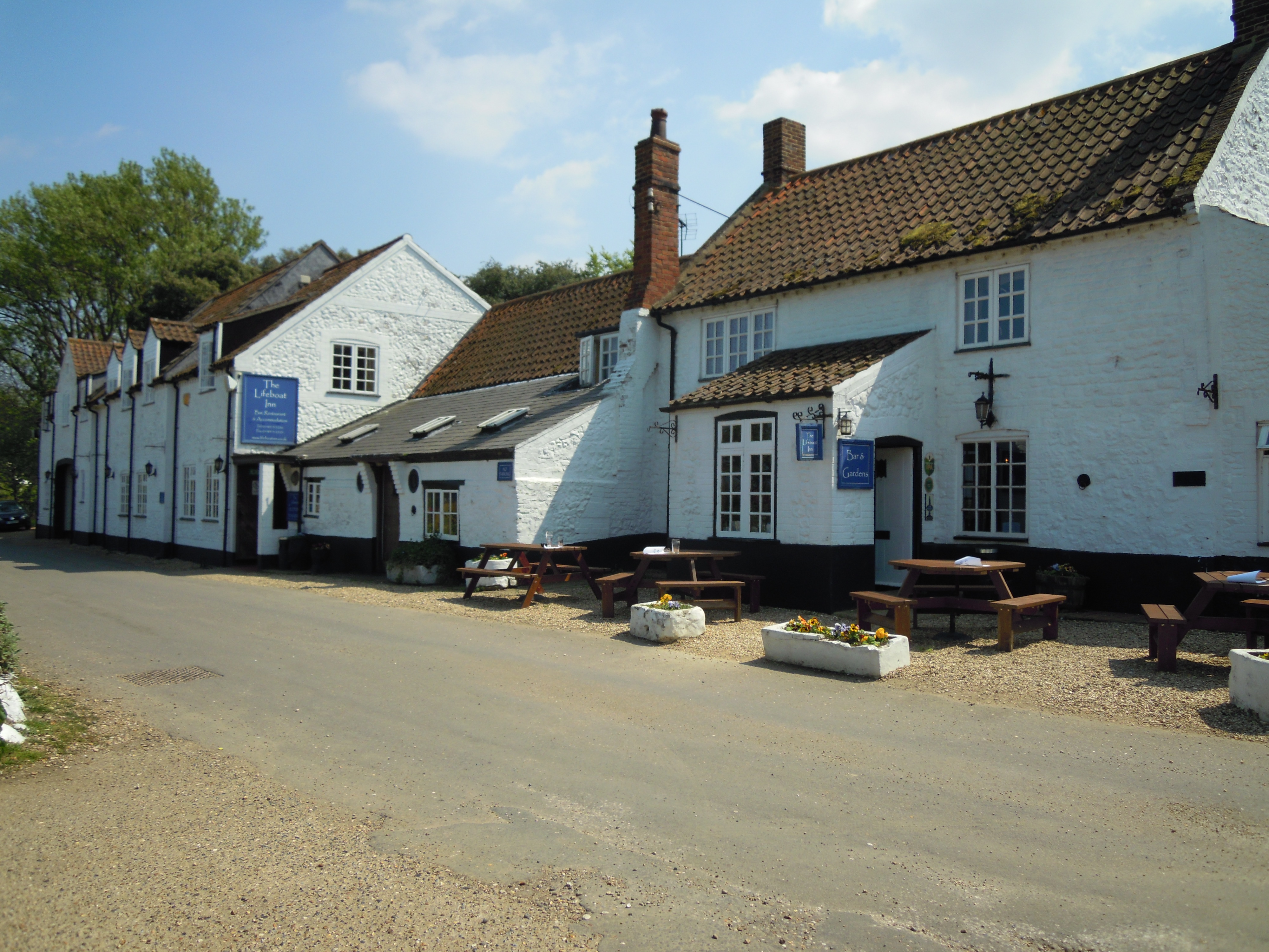
The Lifeboat Inn, Thornham

The Lifeboat Inn is a public house and inn in Ship Lane, Thornham, Norfolk, England. It lies near the wooded grounds of Thornham Manor. The white-painted...

Sedgeford

Sedgeford is a village and civil parish in the English county of Norfolk, about 5 miles south of the North Sea and 3 miles (4.8 km) east of the Wash. It...

Nearby Amenities

Located within 500m of 52.927108,0.57836945
Power: pole
Lat/Long: 52.9305231/0.5827917
Power: pole
Lat/Long: 52.9302758/0.5815619
Power: pole
Lat/Long: 52.930034/0.5803261
Power: pole
Lat/Long: 52.9297883/0.5790856
Power: pole
Lat/Long: 52.9295437/0.5778451
Power: pole
Lat/Long: 52.9293077/0.5766025
Power: pole
Lat/Long: 52.9290544/0.5753764
Location Transition: yes
Material: wood
Power: pole
Ref: 633333;633334
Transformer: distribution
Lat/Long: 52.9288026/0.5741781
Courtyard Farm Circular Walks
Contact Instagram: courtyardfarmnorfolk; blanca_bell_tents
Dog: leashed
Information: route_marker
Inscription: Welcome to Courtyard Farm. There are three waymarked walks round this farm on public footpaths. Follow the short arrows for the two 2 mile walks, follow the long arrows for the 6.5 mile walk. There are other permissive walks shown on the map below.
Inscription 2: Courtyard Farm / Organic farming for people and wildlife / We welcome visitors to walk round the farm on the way-marked footpaths (see map inside). / At Courtyard Farm we grow clover, wheat, barley and beans using clover and the sun’s energy to provide
Inscription 3: fertility, without using manufactured fertilisers or chemical sprays.
Inscription 4: Peddars Way Circular Walk / Norfolk County Council
Material: wood
Note: Stocked map leaflet box attached
Tourism: information
Website: www.courtyardfarm.co.uk
Lat/Long: 52.9281795/0.5734811
Circular Walk
Hiking: yes
Information: route_marker
Inscription: Norfolk Trails
Material: wood
Tourism: information
Lat/Long: 52.9281573/0.5734529
Generator Method: wind_turbine
Generator Output Electricity: yes
Generator Source: wind
Generator Type: vertical_axis
Power: generator
Lat/Long: 52.9285207/0.5722158
Generator Method: wind_turbine
Generator Output Electricity: yes
Generator Source: wind
Generator Type: vertical_axis
Power: generator
Lat/Long: 52.9286549/0.5719985
Generator Method: wind_turbine
Generator Output Electricity: yes
Generator Source: wind
Generator Type: vertical_axis
Power: generator
Lat/Long: 52.9286056/0.5716458
Public Footpath
Hiking: yes
Information: guidepost
Material: wood
Tourism: information
Lat/Long: 52.9279281/0.573406
The data included in this document is from www.openstreetmap.org. The data is made available under ODbL.

Have you been to Fir Wood?

Leave your review of Fir Wood below (or comments, questions and feedback).