Blackhern Plantation

Wood, Forest in Norfolk King's Lynn and West Norfolk

England

Blackhern Plantation

Barley fields near Thornham Corner
Barley fields near Thornham Corner Credit: Jonathan Thacker

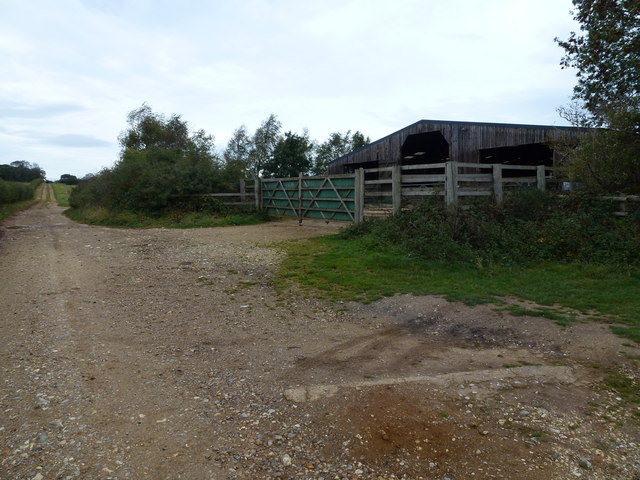
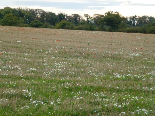
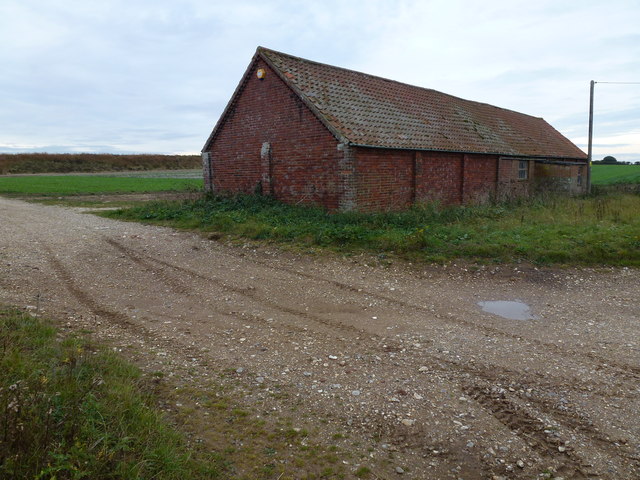
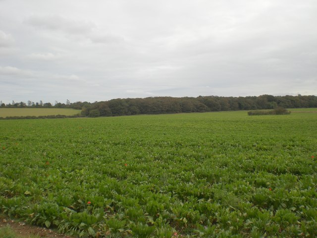
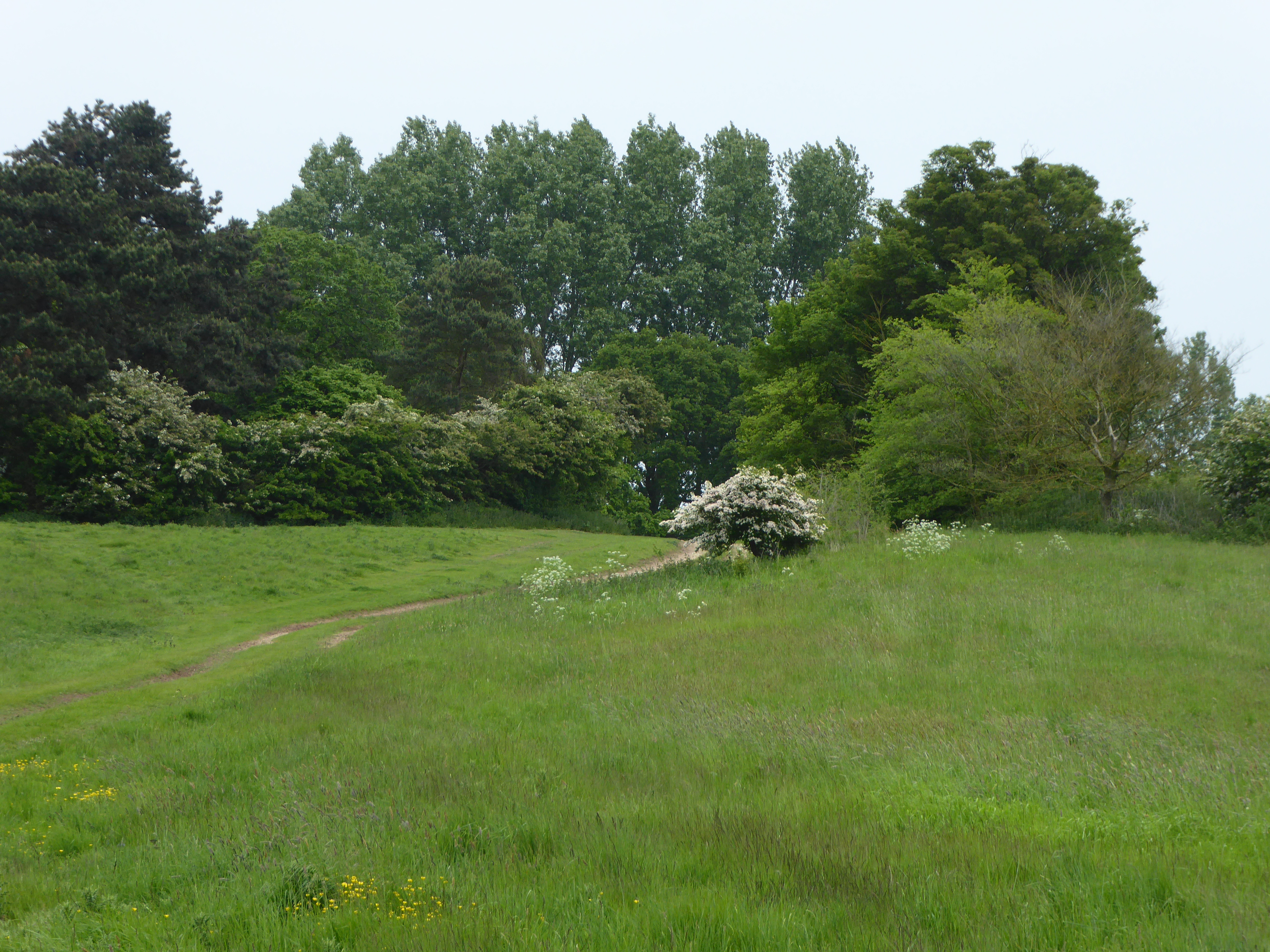
Blackhern Plantation is a well-preserved woodland area located in Norfolk, England. Covering an expansive area, the plantation is known for its dense forest and lush greenery. It is situated in the picturesque countryside, surrounded by rolling hills and meandering streams, making it a popular destination for nature enthusiasts and hikers alike.

The plantation is predominantly made up of deciduous trees, including oak, beech, and birch, which provide a stunning display of colors during the autumn months. These trees form a dense canopy, creating a tranquil and serene atmosphere within the plantation. The forest floor is covered in a thick layer of moss and ferns, further enhancing its natural beauty.

Blackhern Plantation is home to a diverse range of wildlife, including various bird species, mammals, and insects. It serves as a sanctuary for many rare and endangered species, making it an important conservation area. Visitors often catch glimpses of deer, foxes, and rabbits while exploring the plantation.

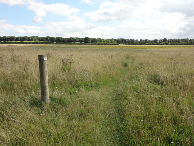
The plantation offers several walking trails and paths that allow visitors to immerse themselves in the natural surroundings. These trails are well-maintained and provide opportunities for both leisurely strolls and more challenging hikes. Along the way, visitors can enjoy breathtaking views of the surrounding countryside and may even stumble upon hidden ponds and streams.

Overall, Blackhern Plantation is a haven for nature lovers, offering a peaceful and idyllic retreat away from the hustle and bustle of city life. Its rich biodiversity and stunning landscapes make it a must-visit destination for those seeking to reconnect with nature.

If you have any feedback on the listing, please let us know in the comments section below.

Blackhern Plantation Images

Images are sourced within 2km of 52.920747/0.57732186 or Grid Reference TF7339. Thanks to Geograph Open Source API. All images are credited.

Barley fields near Thornham Corner
Wheat field near Summerfield
Cattle shed and track near Courtyard Farm On Burnham Road east of Ringstead, Norfolk
Cattle shed and track near Courtyard Farm
On Burnham Road east of Ringstead, Norfolk
Wild flowers at Courtyard Farm, Ringstead
Brick barn on Burnham Road East of Ringstead. There is a recently constructed reservoir behind the bank on the horizon
Brick barn on Burnham Road
East of Ringstead. There is a recently constructed reservoir behind the bank on the horizon
Wildflower Meadow Land that has been left to allow wild flowers to grow.
Wildflower Meadow
Land that has been left to allow wild flowers to grow.
Waymarker and Wildflowers The landowner here is a wonderful person who encourages wild plants and creatures to dwell untouched. The amount of bees and butterflies and other insects flying around here in the summer is incredible!
Waymarker and Wildflowers
The landowner here is a wonderful person who encourages wild plants and creatures to dwell untouched. The amount of bees and butterflies and other insects flying around here in the summer is incredible!
Asparagus field near Choseley
Cattle shed near Ringstead
Farmhouse and barns
Farmhouse and barns
Dwelling and heifers
North from B1454 between Docking and Sedgeford The field boundary immediately ahead marks the line of the disused Great Eastern Railway from Docking to Hunstanton.
North from B1454 between Docking and Sedgeford
The field boundary immediately ahead marks the line of the disused Great Eastern Railway from Docking to Hunstanton.
Field Barn Cottage North of B1454 between Docking and Sedgeford
Field Barn Cottage
North of B1454 between Docking and Sedgeford
Grazing land west of Field Barn Cottage North of B1454 between Docking and Sedgeford
Grazing land west of Field Barn Cottage
North of B1454 between Docking and Sedgeford
Track near Courtyard Farm Running south west towards Stormhill Plantation
Track near Courtyard Farm
Running south west towards Stormhill Plantation
Track north east towards Courtyard Farm Courtyard Farm is fully organic and has set itself up as a visitor attraction, see <span class="nowrap"><a title="http://www.soilassociationscotland.org/web/sa/saweb.nsf/b5091ee9ea0debbc80256e2b005f44ae/7c85b0eebd7b349080256f2400576ed9" rel="nofollow ugc noopener" href="http://www.soilassociationscotland.org/web/sa/saweb.nsf/b5091ee9ea0debbc80256e2b005f44ae/7c85b0eebd7b349080256f2400576ed9">Link</a><img style="margin-left:2px;" alt="External link" title="External link - shift click to open in new window" src="https://s1.geograph.org.uk/img/external.png" width="10" height="10"/></span>
Track north east towards Courtyard Farm
Courtyard Farm is fully organic and has set itself up as a visitor attraction, see LinkExternal link
South east across beet towards Blackhorn Plantation
North north east towards Courtyard Farm The field margin alongside this beet field is being kept clear as part of a defra  Environmental Stewardship Scheme.

A large flock of sheep can just be made out in the distance - an unusual sight in this part of the world.  According to the Courtyard Farm's website <span class="nowrap"><a title="http://www.soilassociationscotland.org/web/sa/saweb.nsf/b5091ee9ea0debbc80256e2b005f44ae/7c85b0eebd7b349080256f2400576ed9" rel="nofollow ugc noopener" href="http://www.soilassociationscotland.org/web/sa/saweb.nsf/b5091ee9ea0debbc80256e2b005f44ae/7c85b0eebd7b349080256f2400576ed9">Link</a><img style="margin-left:2px;" alt="External link" title="External link - shift click to open in new window" src="https://s1.geograph.org.uk/img/external.png" width="10" height="10"/></span> these are Swaledales.
North north east towards Courtyard Farm
The field margin alongside this beet field is being kept clear as part of a defra Environmental Stewardship Scheme. A large flock of sheep can just be made out in the distance - an unusual sight in this part of the world. According to the Courtyard Farm's website LinkExternal link these are Swaledales.
Show me another place!

Blackhern Plantation is located at Grid Ref: TF7339 (Lat: 52.920747, Lng: 0.57732186)

Administrative County: Norfolk

District: King's Lynn and West Norfolk

Police Authority: Norfolk

What 3 Words

///success.panels.gong. Near Heacham, Norfolk

Related Wikis

Choseley

Choseley is a tiny hamlet and civil parish in the English county of Norfolk. It is situated between the villages of Titchwell and Docking and about 4 kilometres...

Sedgeford railway station

Sedgeford was a railway station which served the village of Sedgeford in Norfolk, England. Opened by the West Norfolk Junction Railway in 1866, passenger...

Sedgeford Torc

The Sedgeford Torc is a broken Iron Age gold torc found near the village of Sedgeford in Norfolk. The main part of the torc was found during harrowing...

Ringstead, Norfolk

Ringstead is a village and civil parish in the north-west corner of the English county of Norfolk. It covers an area of 11.13 km2 (4.30 sq mi) and had...

Sedgeford

Sedgeford is a village and civil parish in the English county of Norfolk, about 5 miles south of the North Sea and 3 miles (4.8 km) east of the Wash. It...

Docking railway station

Docking railway station was a station in Norfolk, serving the village of Docking. It closed to passengers in 1952. == References ==

Docking, Norfolk

Docking is a village and ancient civil parish in the north-west of the English county of Norfolk. It is near the North Norfolk Coast Site of Special Scientific...

Hunstanton Park Esker

Hunstanton Park Esker is a 17.3-hectare (43-acre) geological Site of Special Scientific Interest east of Hunstanton in Norfolk. The esker extends 1.5 km...

Have you been to Blackhern Plantation?

Leave your review of Blackhern Plantation below (or comments, questions and feedback).