Atch Lench

Settlement in Worcestershire Wychavon

England

Atch Lench

Oilseed Rape in the Lenches This is square has no building within it, farmland and arable land predominate.
Oilseed Rape in the Lenches Credit: Philip Halling

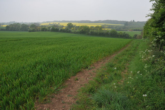
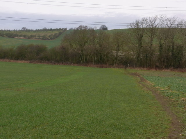
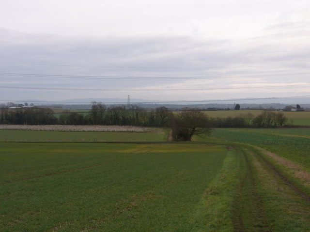
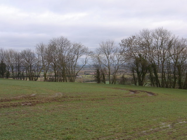
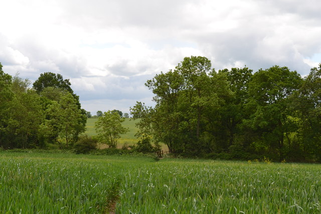
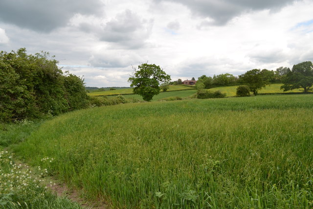
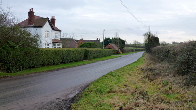
Atch Lench is a small village located in the county of Worcestershire, England. Situated approximately 10 miles southeast of the city of Worcester, it falls within the Wychavon district. The village is surrounded by lush green fields and picturesque countryside, making it an idyllic rural retreat.

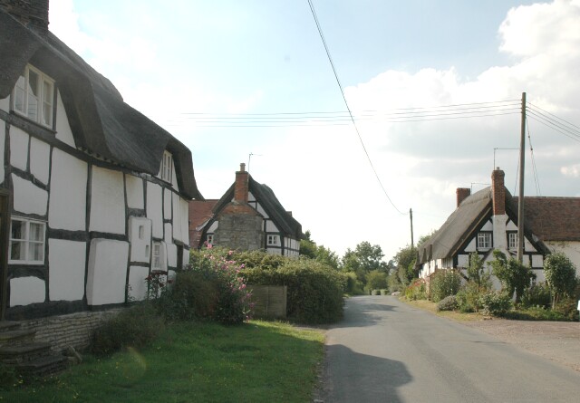
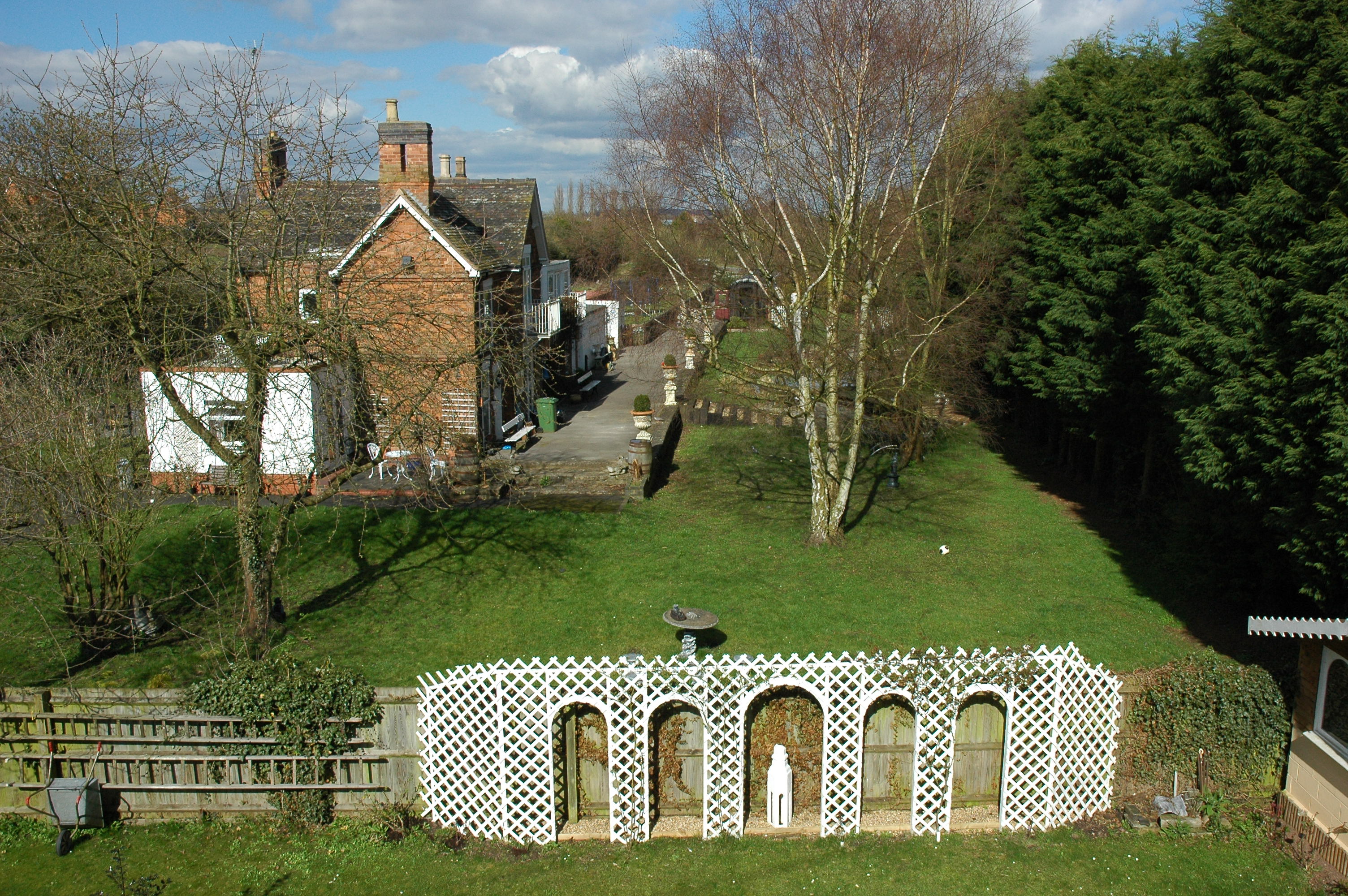
Atch Lench has a rich history dating back to the Middle Ages when it was a farming community. Today, it retains its agricultural heritage, with many residents still involved in farming activities. The village is characterized by its quaint thatched cottages and traditional architecture, giving it a charming and timeless atmosphere.

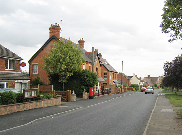
Although small in size, Atch Lench offers a range of amenities to its residents. These include a local pub, The Chequers Inn, which serves traditional English food and provides a welcoming meeting place for villagers. The village also has a village hall, which hosts various community events and gatherings throughout the year.

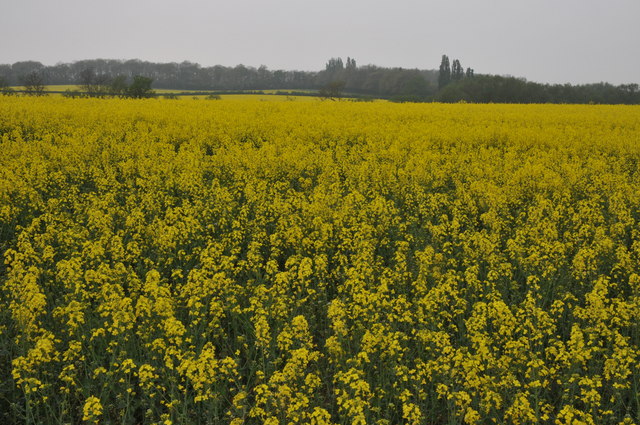
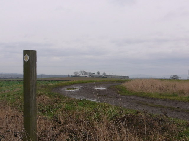
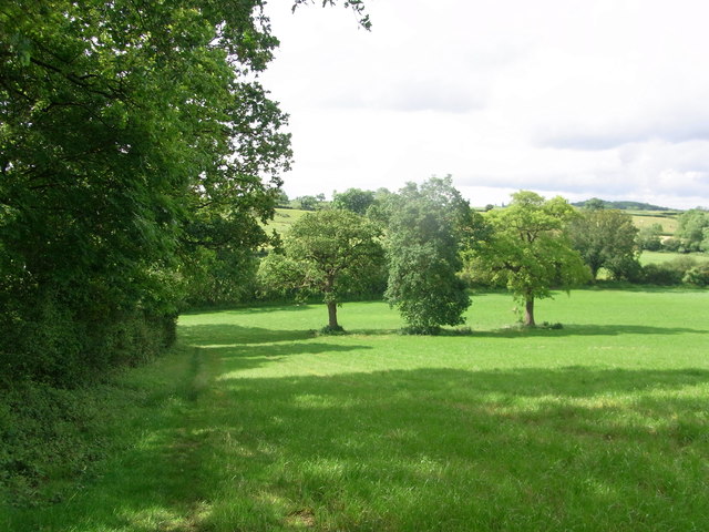
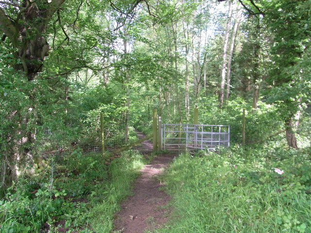
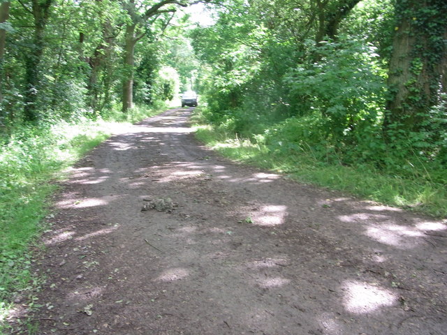
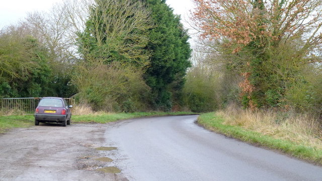
Surrounded by beautiful countryside, Atch Lench provides ample opportunities for outdoor activities. The nearby Lenches Lakes offer fishing and recreational facilities, attracting visitors from the surrounding areas. The village is also surrounded by numerous walking and cycling trails, allowing residents to explore the natural beauty of Worcestershire.

Overall, Atch Lench is a quaint and picturesque village that captures the essence of rural England. With its rich history, stunning countryside, and community spirit, it offers residents a peaceful and charming place to call home.

If you have any feedback on the listing, please let us know in the comments section below.
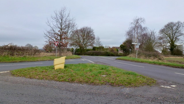
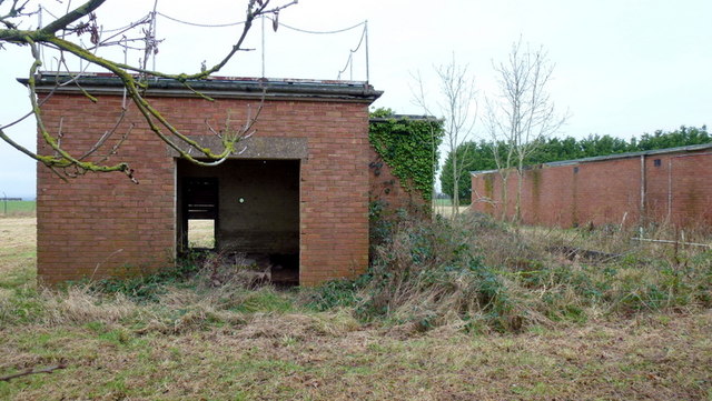
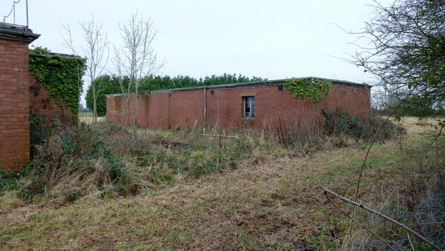
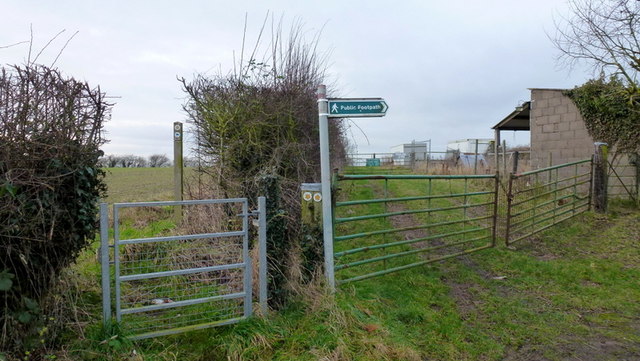
Atch Lench Images

Images are sourced within 2km of 52.156332/-1.952461 or Grid Reference SP0350. Thanks to Geograph Open Source API. All images are credited.

Oilseed Rape in the Lenches This is square has no building within it, farmland and arable land predominate.
Oilseed Rape in the Lenches
This is square has no building within it, farmland and arable land predominate.
Footpath through arable land The footpath following the hedgerow of this arable field is now the route of the Wychavon Way, I believe its route has recently been changed.
Footpath through arable land
The footpath following the hedgerow of this arable field is now the route of the Wychavon Way, I believe its route has recently been changed.
Along the track towards Harvington Lodge Track NW/SE between Harvington and Atch Lench.
Along the track towards Harvington Lodge
Track NW/SE between Harvington and Atch Lench.
Footpath from Harvington Visible on the horizon is Atch Lench.
Footpath from Harvington
Visible on the horizon is Atch Lench.
Track below Manor Farm, Atch Lench View towards Harvington. Tree in centre is on the parish boundary that runs across the picture.
Track below Manor Farm, Atch Lench
View towards Harvington. Tree in centre is on the parish boundary that runs across the picture.
Through the trees on Rough Hills Harvington village in the distance.
Through the trees on Rough Hills
Harvington village in the distance.
Footpath leading to footbridge south of Atch Lench Taken from the stile leading into the next field, just within the grid square.
Footpath leading to footbridge south of Atch Lench
Taken from the stile leading into the next field, just within the grid square.
Footpath leading to Atch Lench The footpath bends left before turning right and leading out of the grid square.
Footpath leading to Atch Lench
The footpath bends left before turning right and leading out of the grid square.
Wychavon Way along edge of  Old Yew Hill Wood
Wychavon Way along edge of Old Yew Hill Wood
Wychavon Way enters Old Yew Hill Wood
Bridleway track near North Farm,  Atch Lench
Bridleway track near North Farm, Atch Lench
Pumping Station, Evesham Road
Handgate farm crossroads An elongated country cross-lanes in the midst of The Lenches; left is to Sheriff's Lench, right to Lenchwick, ahead left to Church Lench and ahead right to Atch Lench.
Handgate farm crossroads
An elongated country cross-lanes in the midst of The Lenches; left is to Sheriff's Lench, right to Lenchwick, ahead left to Church Lench and ahead right to Atch Lench.
Disused property, Sheriff's Lench, 1 The disused buildings are north of the hamlet.
Disused property, Sheriff's Lench, 1
The disused buildings are north of the hamlet.
Disused property, Sheriff's Lench, 2 The disused buildings are north of the hamlet.
Possibly Ministry of Defence?
Disused property, Sheriff's Lench, 2
The disused buildings are north of the hamlet. Possibly Ministry of Defence?
Parallel footpaths near Hill Barn Public paths follow both sides of the hedge before diverging at the end of the first small field.
Parallel footpaths near Hill Barn
Public paths follow both sides of the hedge before diverging at the end of the first small field.
Evesham Road at Hill Barn Looking south towards Lenchwick.
Evesham Road at Hill Barn
Looking south towards Lenchwick.
Evesham Road Looking north towards Church Lench.
Had to include this so future generations can marvel at our late 20th century taste in car colour.
Evesham Road
Looking north towards Church Lench. Had to include this so future generations can marvel at our late 20th century taste in car colour.
Show me another place!

Atch Lench is located at Grid Ref: SP0350 (Lat: 52.156332, Lng: -1.952461)

Administrative County: Worcestershire

District: Wychavon

Police Authority: West Mercia

What 3 Words

///mixture.wobbles.chimp. Near Harvington, Worcestershire

Nearby Locations

Atch Lench

Related Wikis

Atch Lench

Atch Lench is a village in Worcestershire, England. == External links == Media related to Atch Lench at Wikimedia Commons Atch Lench in the Domesday Book

Church Lench

Church Lench is a village and former civil parish, now in the parish of South Lenches, in the Wychavon district, in the county of Worcestershire, England...

Ab Lench

Ab Lench is a village and former civil parish, now in the parish of South Lenches, in the Wychavon district, in the county of Worcestershire, England...

Harvington

Harvington is a village near Evesham in Worcestershire, England. Bounded by the River Avon to the south and the Lench Hills to the north, three miles northeast...

Harvington railway station

Harvington railway station was a station in Harvington, Worcestershire, England. The station was opened on 17 September 1866, train services were withdrawn...

Norton and Lenchwick

Norton and Lenchwick is a civil parish in the Wychavon district, in the county of Worcestershire, England. The parish population in 2021 was 1,056. The...

Abbot's Salford

Abbot's Salford is the name of a village in the English county of Warwickshire. It is found six miles south of Alcester, about the same distance from Evesham...

Goom's Hill

Goom's Hill is a location near Abbots Morton in Worcestershire, England.

Nearby Amenities

Located within 500m of 52.156332,-1.952461
Church
Naptan AtcoCode: 2000G052600
Naptan Bearing: SE
Naptan BusStopType: CUS
Naptan CommonName: Church
Naptan Indicator: Adj
Naptan Landmark: Church
Naptan NaptanCode: wocgajtw
Naptan Street: Leys Road
Naptan Verified: no
Source: naptan_import
Lat/Long: 52.155623/-1.9525139
Church
Naptan AtcoCode: 2000G323393
Naptan Bearing: NW
Naptan BusStopType: CUS
Naptan CommonName: Church
Naptan Indicator: Opp
Naptan Landmark: Church
Naptan NaptanCode: wocdmdmw
Naptan Street: Leys Road
Naptan Verified: no
Source: naptan_import
Lat/Long: 52.1555696/-1.9526694
Atch Lench Turn
Naptan AtcoCode: 2000G323394
Naptan Bearing: NW
Naptan BusStopType: CUS
Naptan CommonName: Atch Lench Turn
Naptan Indicator: Adj
Naptan Landmark: Sheriff's Lench Lane
Naptan NaptanCode: wocdmdpa
Naptan Street: Leys Road
Naptan Verified: no
Source: naptan_import
Lat/Long: 52.1519555/-1.9529656
Bus Stop
Atch Lench Turn
Bus: yes
Naptan AtcoCode: 2000G672021
Naptan Bearing: SE
Naptan CommonName: Atch Lench Turn
Naptan Indicator: Opp
Naptan Landmark: Sherrif Lench Road
Naptan NaptanCode: wocdatpm
Naptan Street: Leys Road
Naptan Verified: no
Public Transport: platform
Source: naptan_import
Lat/Long: 52.1519463/-1.9525855
Atch Lench
Place: hamlet
Wikidata: Q4812942
Lat/Long: 52.1562845/-1.9541687
Post Box
Brand: Royal Mail
Brand Wikidata: Q638098
Brand Wikipedia: en:Royal Mail
Collection Times: Mo-Fr 17:15; Sa 10:00
Operator: Royal Mail
Operator Wikidata: Q638098
Post Box Type: wall
Ref: WR11 12
Royal Cypher: VR
Royal Cypher Wikidata: Q33102356
Source: survey
Lat/Long: 52.1554938/-1.9524117
Power: pole
Source: bing
Lat/Long: 52.1601164/-1.9554591
Power: pole
Source: bing
Lat/Long: 52.1600778/-1.9542629
Power: pole
Source: bing
Lat/Long: 52.1600333/-1.9531149
Power: pole
Source: bing
Lat/Long: 52.1599404/-1.9507787
Power: pole
Source: bing
Lat/Long: 52.1600876/-1.9495006
Atch Lench
Power: pole
Transformer: distribution
Voltage Primary: 11000
Lat/Long: 52.1564914/-1.9534314
Power: pole
Lat/Long: 52.1569834/-1.9530478
Power: pole
Lat/Long: 52.1578013/-1.9524021
Power: pole
Lat/Long: 52.1586166/-1.9517677
Power: pole
Lat/Long: 52.159429/-1.9511562
Power: pole
Lat/Long: 52.159998/-1.9518489
The data included in this document is from www.openstreetmap.org. The data is made available under ODbL.

Have you been to Atch Lench?

Leave your review of Atch Lench below (or comments, questions and feedback).