Far Belt
Wood, Forest in Suffolk West Suffolk
England
Far Belt
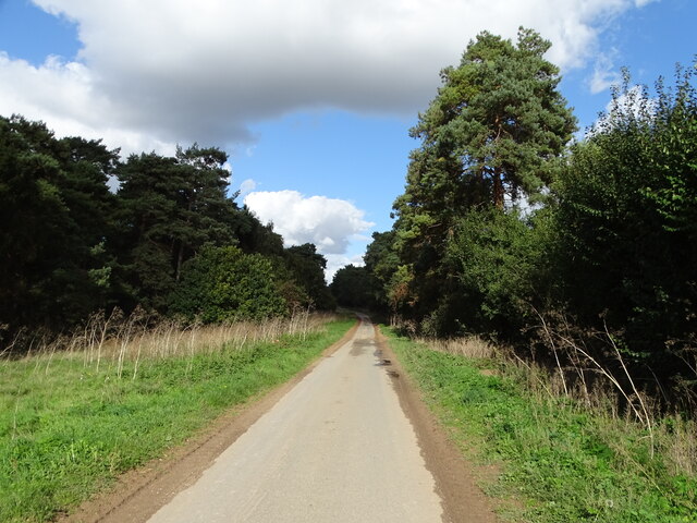
Far Belt, Suffolk, also known as Wood or Forest, is a picturesque village located in the county of Suffolk, England. Nestled amidst a lush and verdant landscape, this quaint village offers a serene and peaceful atmosphere to its residents and visitors alike.
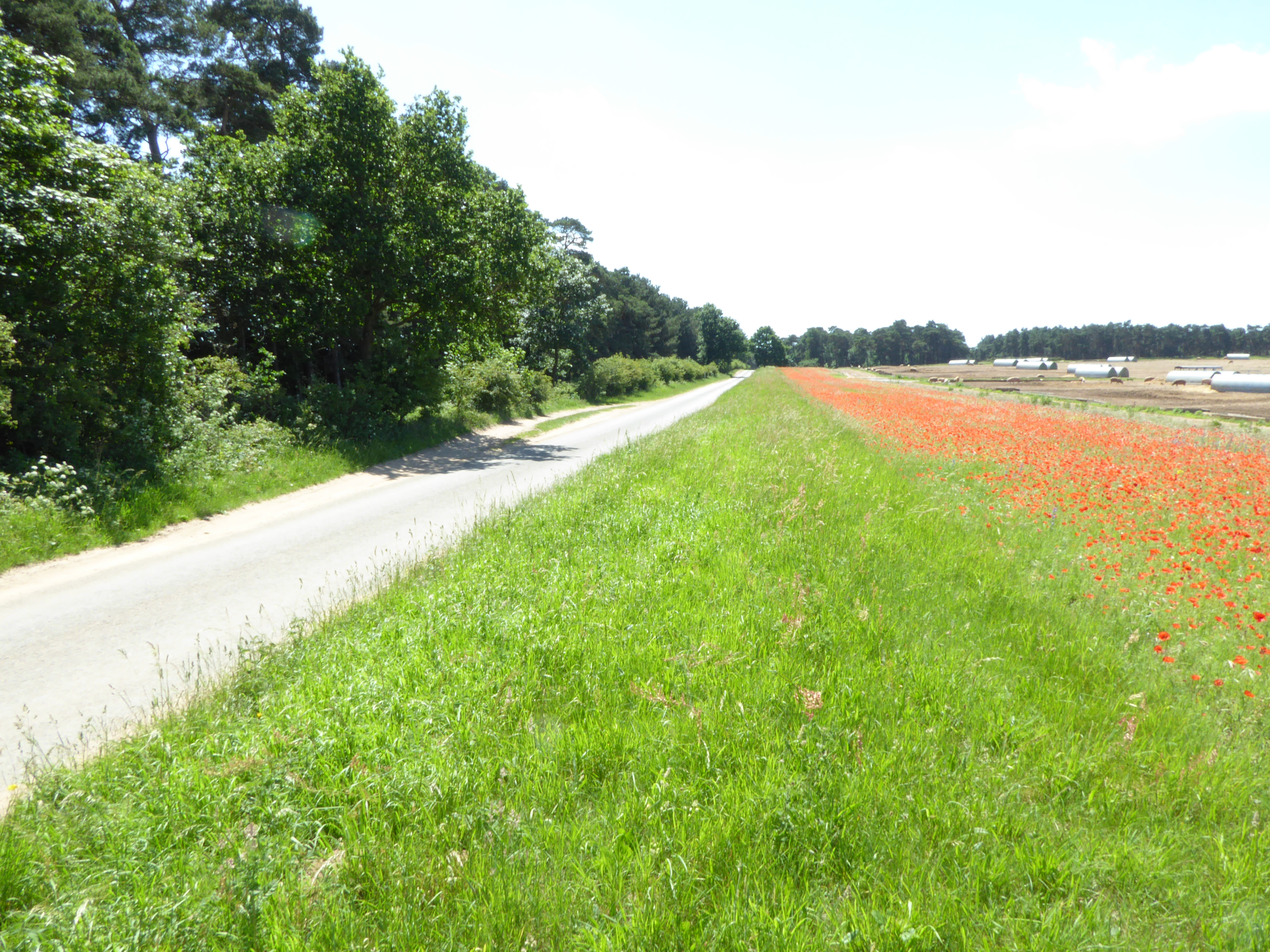
The village is characterized by its dense woodland, which has earned it the alternative names of Wood or Forest. The surrounding forestland provides a beautiful and tranquil setting, attracting nature enthusiasts, hikers, and birdwatchers. The area is also known for its rich biodiversity, with a variety of plant and animal species calling the village home.
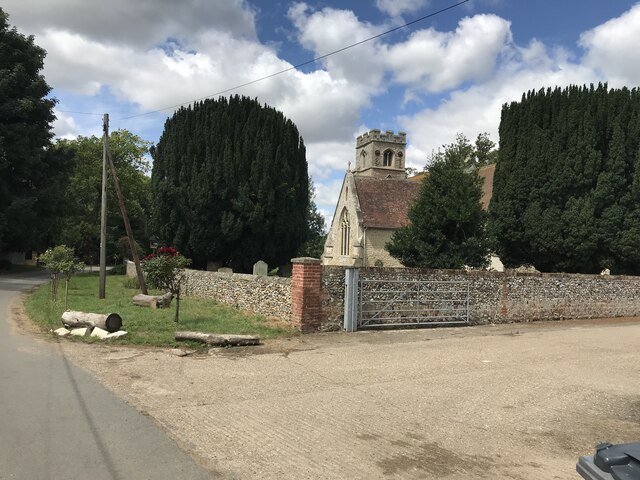
Far Belt is a close-knit community with a small population, fostering a strong sense of community spirit. The village is dotted with charming cottages and historic buildings, showcasing its rich heritage and architectural beauty. The village church, dating back several centuries, is a notable landmark and serves as a focal point for the community.
Despite its secluded location, Far Belt offers convenient access to essential amenities and services. The nearby town provides a range of shops, restaurants, and recreational facilities, ensuring that residents have everything they need within reach. The village also benefits from excellent transport links, making it easily accessible by road and public transport.
Overall, Far Belt, Suffolk (Wood, Forest) is a picturesque village that offers a peaceful and idyllic lifestyle amidst stunning natural surroundings. Its close-knit community, rich biodiversity, and convenient amenities make it an attractive place to call home or visit for a tranquil getaway.
If you have any feedback on the listing, please let us know in the comments section below.
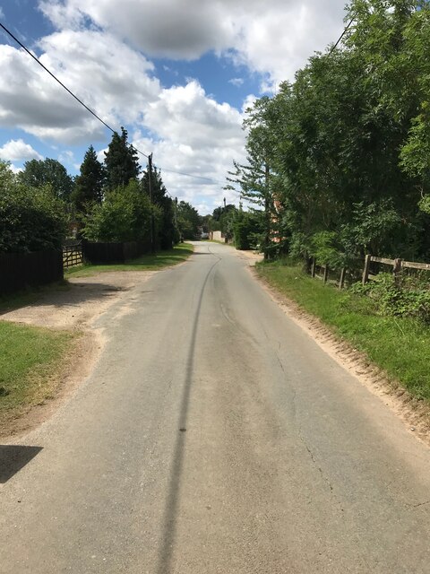
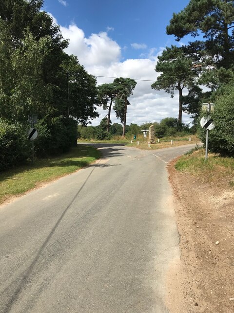
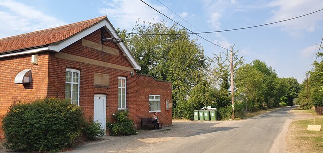
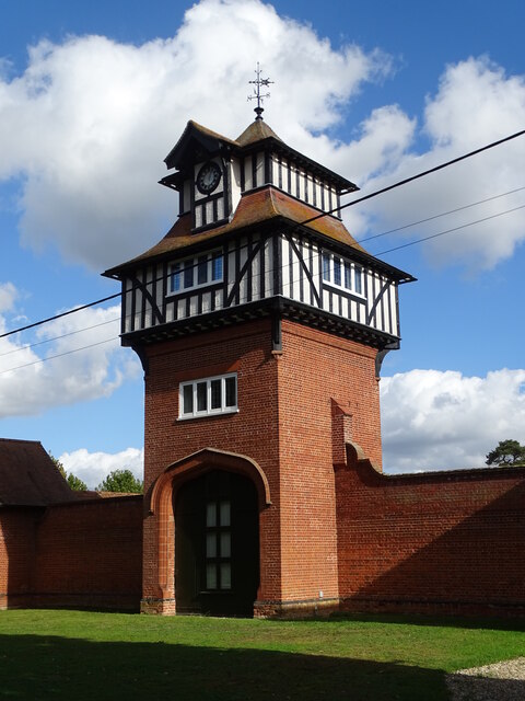
Far Belt Images
Images are sourced within 2km of 52.314849/0.52905117 or Grid Reference TL7271. Thanks to Geograph Open Source API. All images are credited.


Far Belt is located at Grid Ref: TL7271 (Lat: 52.314849, Lng: 0.52905117)
Administrative County: Suffolk
District: West Suffolk
Police Authority: Suffolk
What 3 Words
///clown.torso.rocker. Near Mildenhall, Suffolk
Nearby Locations
Related Wikis
Cherry Hill and The Gallops, Barton Mills
Cherry Hill and The Gallops, Barton Mills is a 10.4-hectare (26-acre) biological Site of Special Scientific Interest south of Barton Mills in Suffolk....

Shi-Tennoji School in UK
Shi-Tennoji School in UK (英国四天王寺学園, Eikoku Shitennōji Gakuen) was a Japanese international secondary school in Herringswell, Suffolk, England, United Kingdom...

Tuddenham
Tuddenham is a village and civil parish in the West Suffolk district of Suffolk in eastern England. In 2005 it had a population of 450. falling to 423...

Herringswell
Herringswell is a village and civil parish in the West Suffolk district of Suffolk in eastern England. In 2005 it had a population of 190. In 2007 there...
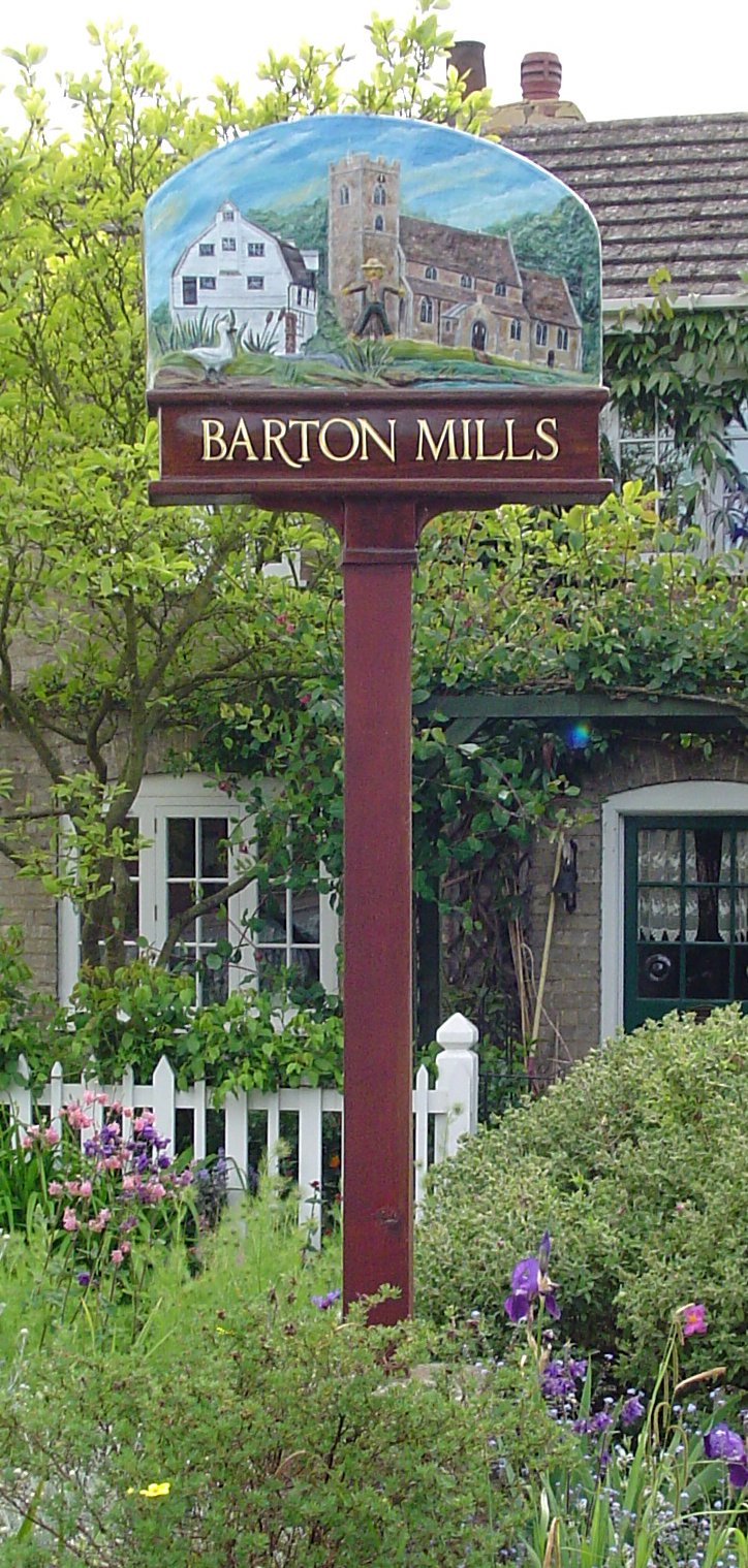
Barton Mills
Barton Mills is a village and civil parish in the West Suffolk district of Suffolk, England. The village is on the south bank of the River Lark. According...

Barton Mills Valley
Barton Mills Valley is a 10.7 hectare Local Nature Reserve in Mildenhall in Suffolk. It is owned and managed by West Suffolk Council. The site is in Breckland...

Norah Hanbury-Kelk Meadows
Norah Hanbury-Kelk Meadows is an eight hectare nature reserve in Barton Mills in Suffolk. It is managed by the Suffolk Wildlife Trust.These wet meadows...

Red Lodge, Suffolk
Red Lodge is a village and civil parish situated in rural Suffolk, England, between Mildenhall and Newmarket, and very close to the A11 and A14 roads....
Nearby Amenities
Located within 500m of 52.314849,0.52905117Have you been to Far Belt?
Leave your review of Far Belt below (or comments, questions and feedback).