Cherryhill Belt
Wood, Forest in Suffolk West Suffolk
England
Cherryhill Belt
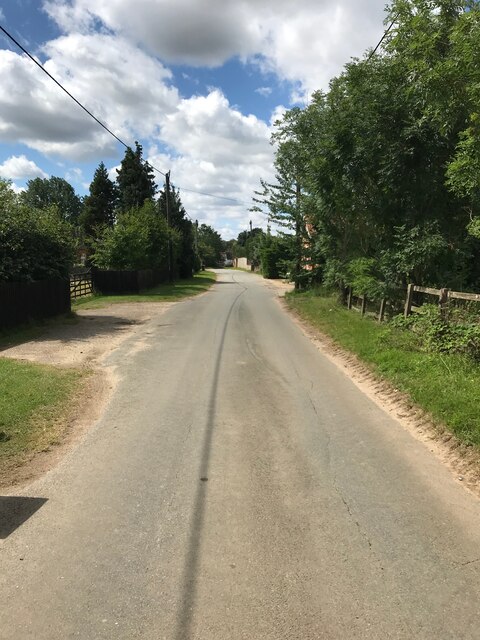
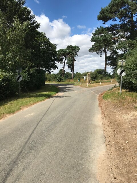
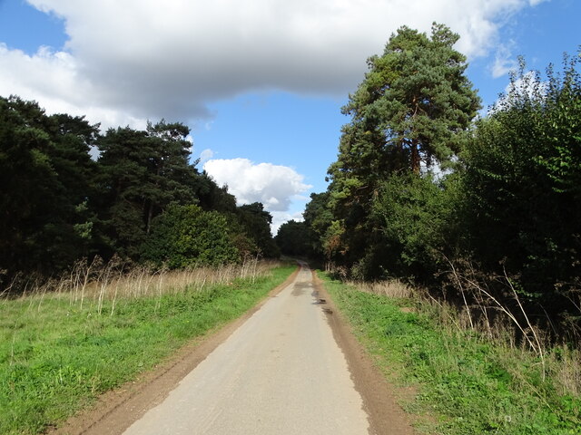
Cherryhill Belt, located in Suffolk, is a picturesque woodland area encompassing a dense forest of cherry trees. The belt is a natural haven, offering a serene and peaceful retreat for nature lovers and outdoor enthusiasts.
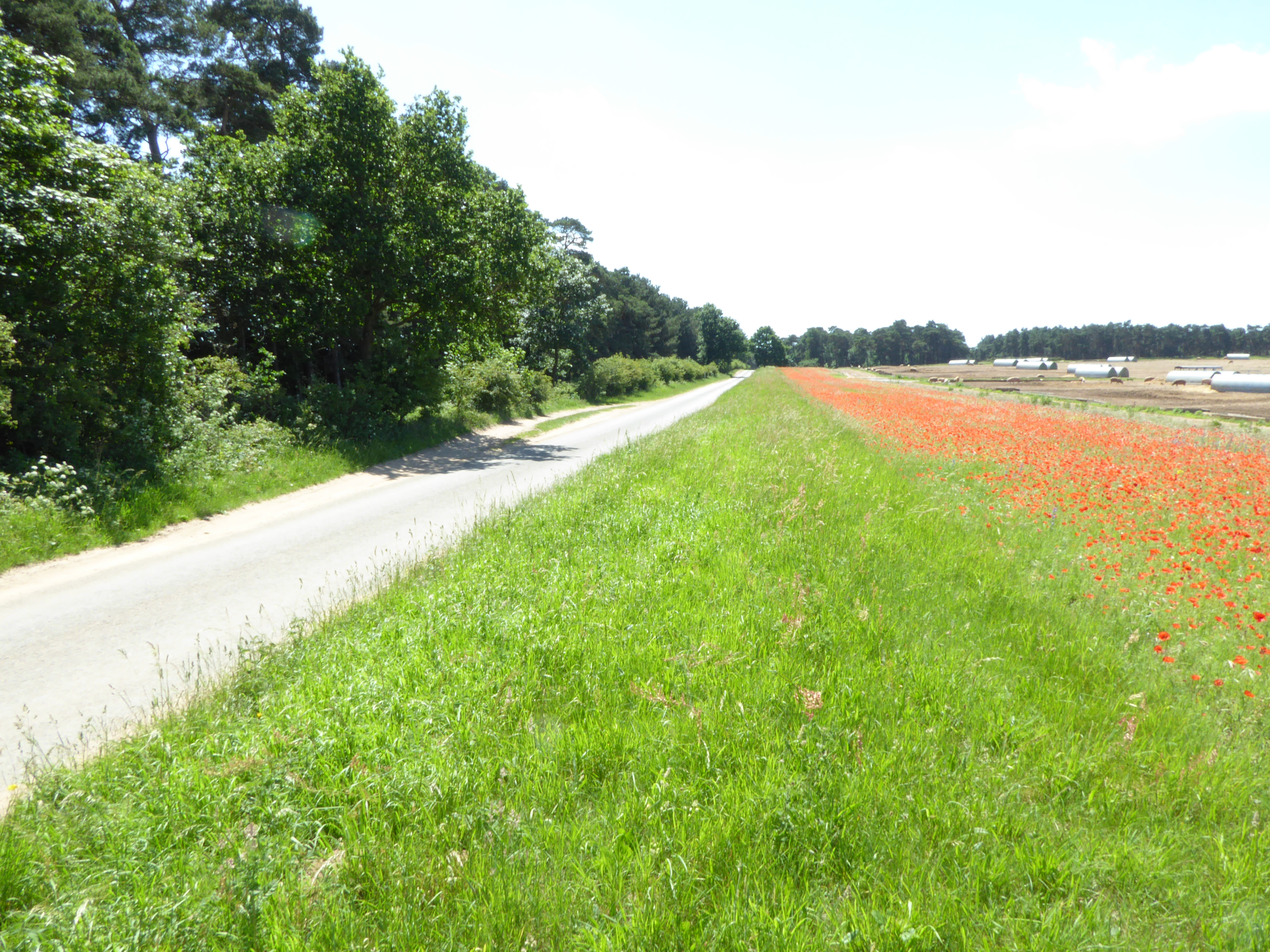
The forest, characterized by its verdant foliage and towering trees, creates a vibrant and enchanting atmosphere. The cherry trees, known for their beautiful blossoms in the spring and vibrant red fruits in the summer, add a touch of beauty and charm to the surroundings. The forest floor is adorned with a carpet of wildflowers, creating a colorful display during the warmer months.
Cherryhill Belt provides an ideal habitat for a diverse range of wildlife. The forest is home to various species of birds, including woodpeckers, owls, and finches, which can be heard chirping and singing throughout the day. Squirrels, rabbits, and deer can also be spotted roaming freely in the woodland, adding to its natural allure.
The belt offers numerous walking trails and paths, allowing visitors to explore the area at their own pace. Outdoor enthusiasts can enjoy leisurely strolls or more vigorous hikes, surrounded by the sights and sounds of nature. The forest is also a popular spot for picnics and family outings, with several designated picnic areas and open spaces available for visitors to relax and enjoy the tranquil setting.
Cherryhill Belt, Suffolk, is a must-visit destination for those seeking a momentary escape from the hustle and bustle of everyday life. Its idyllic woodland, vibrant cherry trees, and abundant wildlife make it a true haven for nature lovers and a hidden gem within the region.
If you have any feedback on the listing, please let us know in the comments section below.
Cherryhill Belt Images
Images are sourced within 2km of 52.315421/0.52248094 or Grid Reference TL7271. Thanks to Geograph Open Source API. All images are credited.


Cherryhill Belt is located at Grid Ref: TL7271 (Lat: 52.315421, Lng: 0.52248094)
Administrative County: Suffolk
District: West Suffolk
Police Authority: Suffolk
What 3 Words
///spilling.narrating.cubed. Near Mildenhall, Suffolk
Nearby Locations
Related Wikis

Shi-Tennoji School in UK
Shi-Tennoji School in UK (英国四天王寺学園, Eikoku Shitennōji Gakuen) was a Japanese international secondary school in Herringswell, Suffolk, England, United Kingdom...
Cherry Hill and The Gallops, Barton Mills
Cherry Hill and The Gallops, Barton Mills is a 10.4-hectare (26-acre) biological Site of Special Scientific Interest south of Barton Mills in Suffolk....

Tuddenham
Tuddenham is a village and civil parish in the West Suffolk district of Suffolk in eastern England. In 2005 it had a population of 450. falling to 423...

Herringswell
Herringswell is a village and civil parish in the West Suffolk district of Suffolk in eastern England. In 2005 it had a population of 190. In 2007 there...
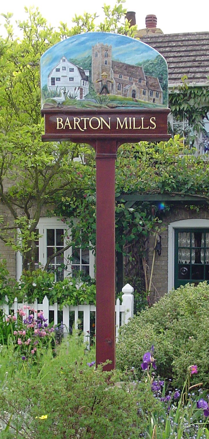
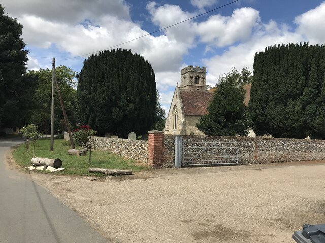
Barton Mills
Barton Mills is a village and civil parish in the West Suffolk district of Suffolk, England. The village is on the south bank of the River Lark. According...

Red Lodge, Suffolk
Red Lodge is a village and civil parish situated in rural Suffolk, England, between Mildenhall and Newmarket, and very close to the A11 and A14 roads....

Barton Mills Valley
Barton Mills Valley is a 10.7 hectare Local Nature Reserve in Mildenhall in Suffolk. It is owned and managed by West Suffolk Council. The site is in Breckland...

Norah Hanbury-Kelk Meadows
Norah Hanbury-Kelk Meadows is an eight hectare nature reserve in Barton Mills in Suffolk. It is managed by the Suffolk Wildlife Trust.These wet meadows...
Nearby Amenities
Located within 500m of 52.315421,0.52248094Have you been to Cherryhill Belt?
Leave your review of Cherryhill Belt below (or comments, questions and feedback).