Beech Plantation
Wood, Forest in Norfolk King's Lynn and West Norfolk
England
Beech Plantation
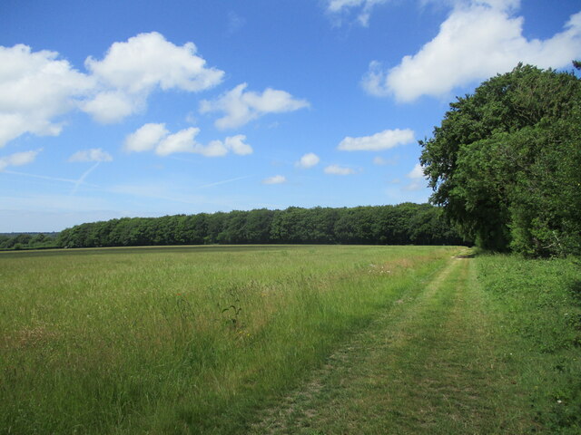
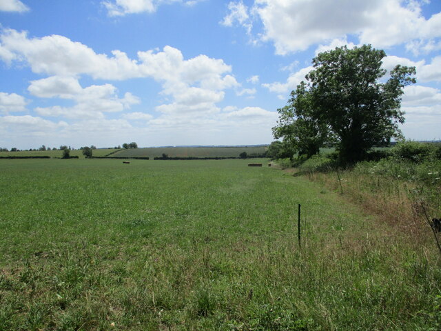
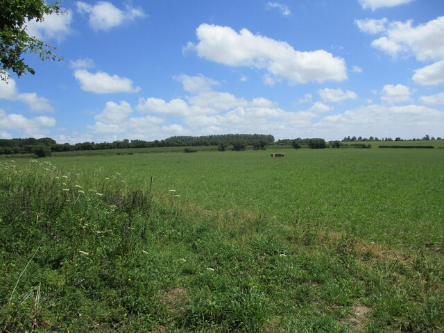
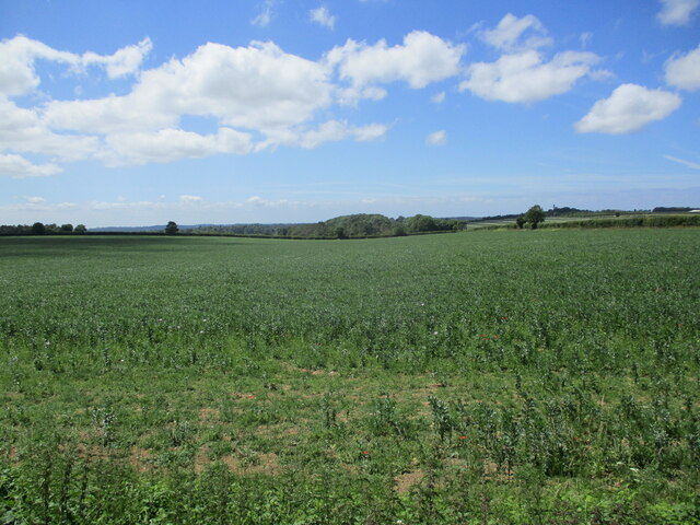
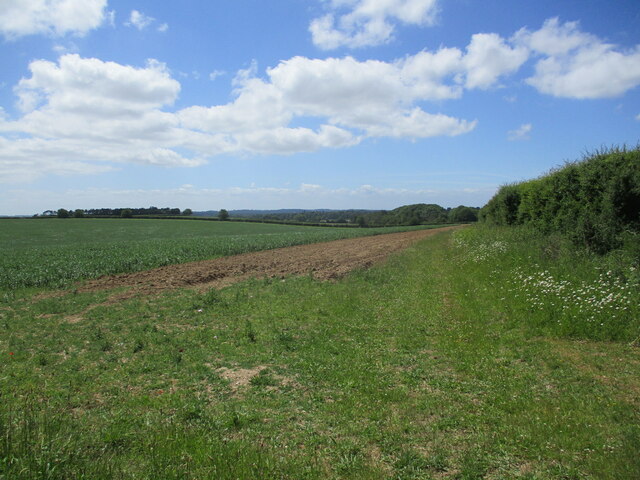
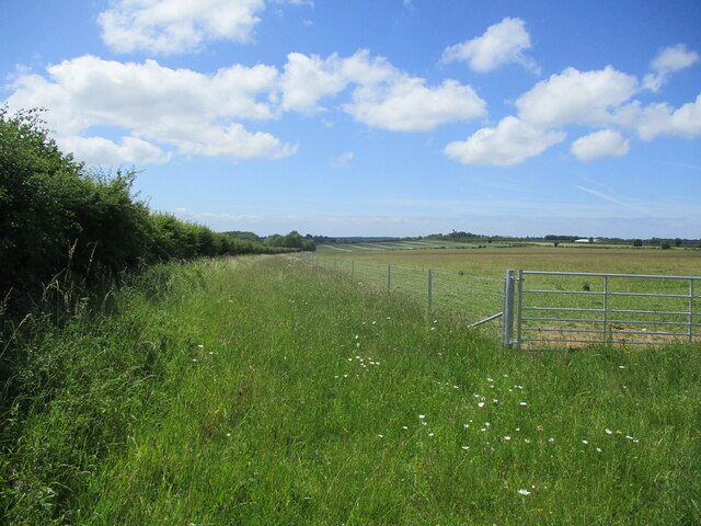
Beech Plantation, located in Norfolk, is a stunning woodland area known for its lush beech trees and serene atmosphere. Spanning over a vast area, the plantation is a popular destination for nature enthusiasts and hikers seeking a peaceful retreat from the bustling city life.
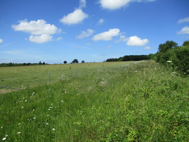
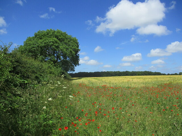
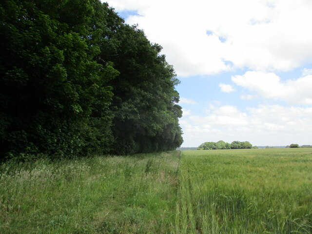
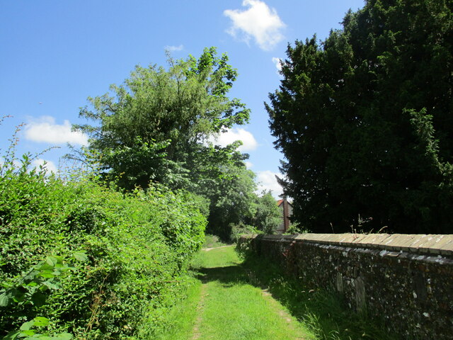
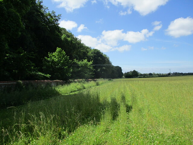
The plantation is characterized by its dense forest of beech trees, which provide a thick canopy of foliage that filters sunlight, creating a cool and shaded environment. The tall, majestic beech trees, with their smooth gray bark and vibrant green leaves, add to the beauty and tranquility of the plantation.
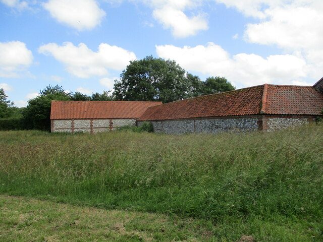
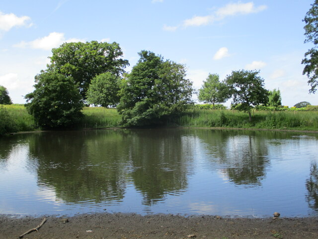
The woodland is home to a diverse range of flora and fauna, making it an ideal spot for nature lovers and birdwatchers. Visitors can expect to see a variety of bird species, including woodpeckers, owls, and thrushes, as well as small mammals such as squirrels and rabbits.
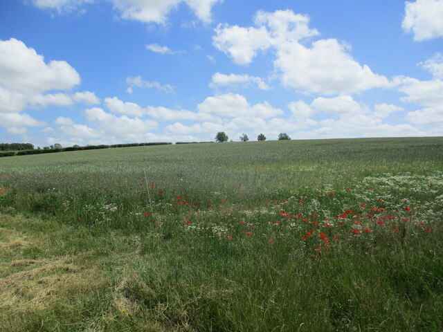
With its well-maintained trails, Beech Plantation offers opportunities for hiking and walking amidst nature. The trails wind through the forest, providing glimpses of wildflowers, ferns, and other native plants along the way. The plantation also features picnic areas, allowing visitors to relax and enjoy a meal amidst the natural beauty.
A visit to Beech Plantation offers a chance to escape the noise and stress of urban life and immerse oneself in the serenity of nature. Whether it's a leisurely stroll through the woodland or a more challenging hike, this Norfolk plantation provides a peaceful and rejuvenating experience for all who venture into its enchanting embrace.
If you have any feedback on the listing, please let us know in the comments section below.
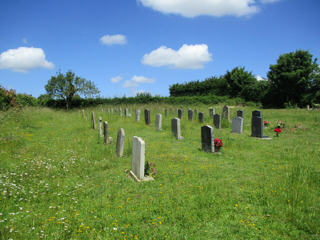
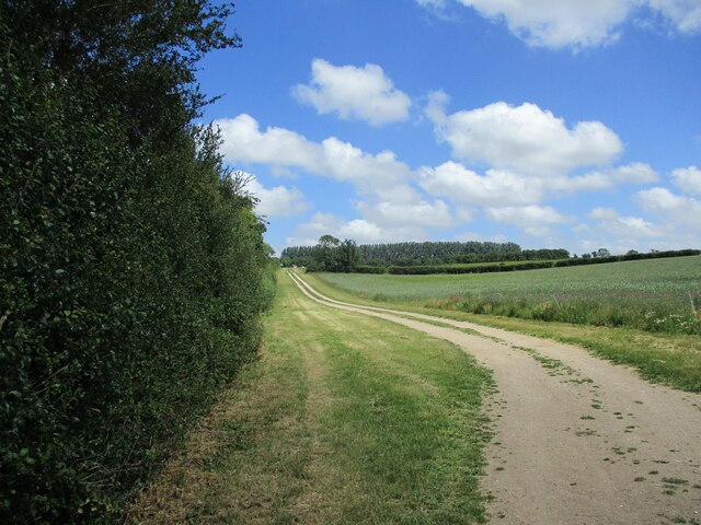
Beech Plantation Images
Images are sourced within 2km of 52.825409/0.55809097 or Grid Reference TF7228. Thanks to Geograph Open Source API. All images are credited.
Beech Plantation is located at Grid Ref: TF7228 (Lat: 52.825409, Lng: 0.55809097)
Administrative County: Norfolk
District: King's Lynn and West Norfolk
Police Authority: Norfolk
What 3 Words
///touches.jigging.specifies. Near Dersingham, Norfolk
Nearby Locations
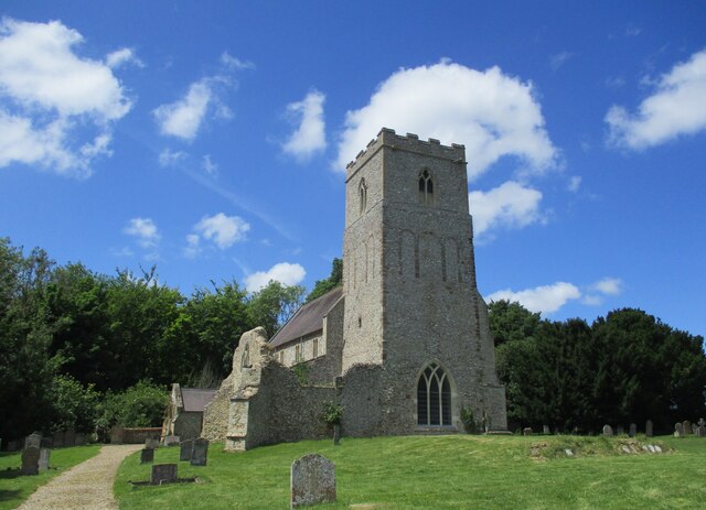
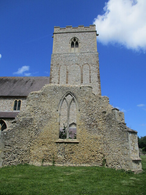
Related Wikis

Flitcham, Norfolk
Flitcham is a village and civil parish in the English county of Norfolk. The village is located 7.1 miles (11.4 km) north-east of King's Lynn and 33 miles...

Anmer Hall
Anmer Hall is a Georgian country house in the village of Anmer in Norfolk, England. Built in the 19th century, it was acquired by the Sandringham Estate...

Flitcham with Appleton
Flitcham with Appleton is a civil parish in the English county of Norfolk. It covers an area of 17.08 km2 (6.59 sq mi) and had a population of 236 in 96...
Anmer
Anmer is a small village and civil parish in the English county of Norfolk. It is around 12 miles (19 km) north-east of the town of King's Lynn and 35...
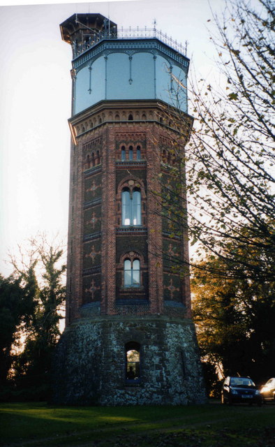
Appleton Water Tower
The Appleton Water Tower is a Victorian water tower located in Sandringham, Norfolk. It was constructed in 1877 to improve the quality of the water supply...

York Cottage
York Cottage is a house in the grounds of Sandringham House in Norfolk, England. == History == The cottage was originally called the Bachelor's Cottage...

Hillington, Norfolk
Hillington is a village and civil parish in the English county of Norfolk. It covers an area of 10.27 km2 (3.97 sq mi) and had a population of 287 in 123...
Sandringham, Norfolk
Sandringham is a village and civil parish in the north of the English county of Norfolk. The village is situated 2 kilometres (1.2 mi) south of Dersingham...
Nearby Amenities
Located within 500m of 52.825409,0.55809097Have you been to Beech Plantation?
Leave your review of Beech Plantation below (or comments, questions and feedback).