Mill Plantation
Wood, Forest in Suffolk West Suffolk
England
Mill Plantation
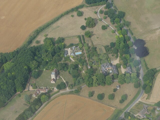
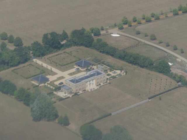
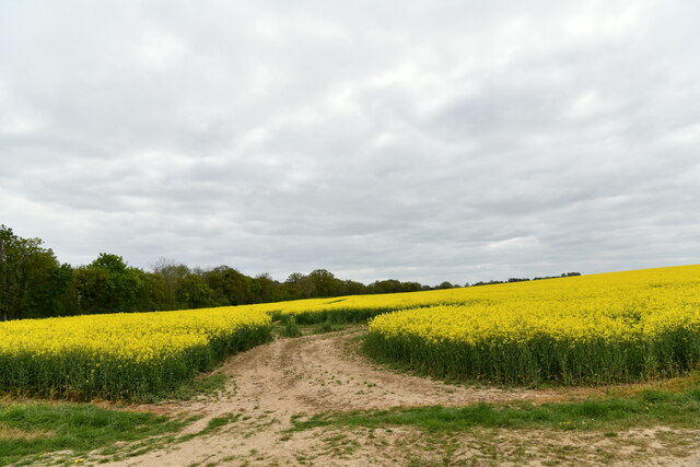
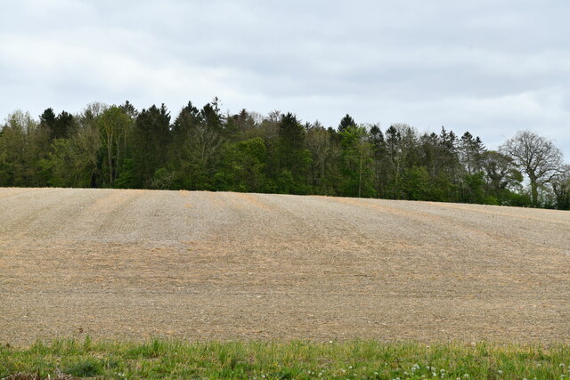
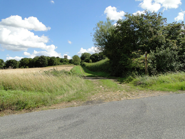
Mill Plantation is a picturesque woodland located in Suffolk, England. Covering an area of approximately 100 acres, it is a beautiful and serene destination for nature enthusiasts and outdoor lovers alike. The plantation is primarily composed of dense deciduous forests, characterized by a variety of tree species such as oak, beech, and birch.
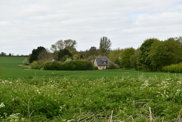
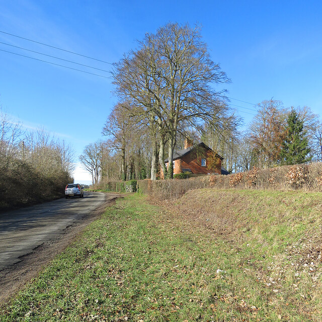
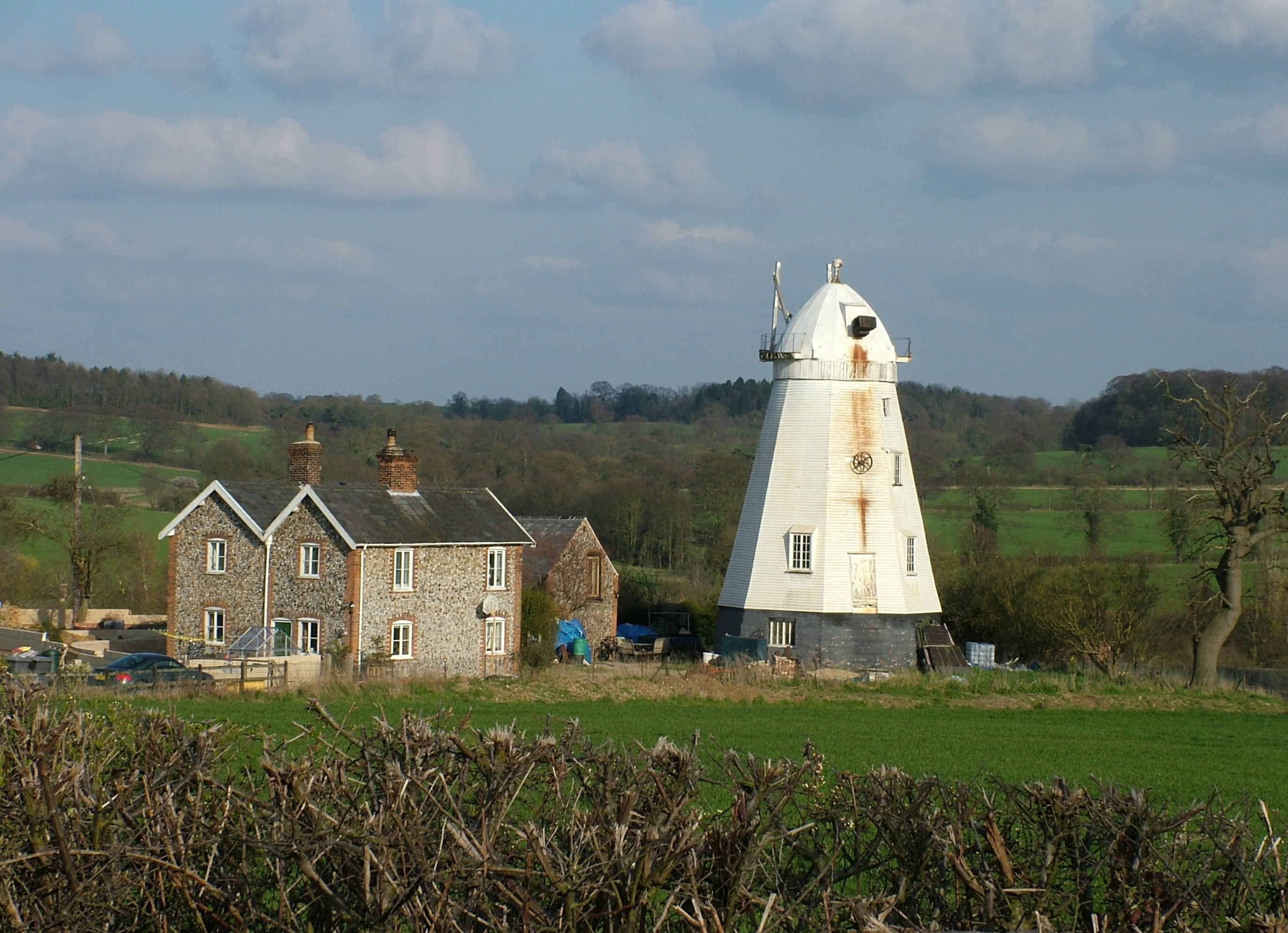
The plantation's name is derived from the historic mill that once stood on its grounds. The remnants of the mill can still be seen today, adding a touch of history and charm to the area. The tranquil environment is further enhanced by the presence of a small stream that meanders through the plantation, providing a soothing soundtrack to visitors.
Mill Plantation is a haven for wildlife, attracting a wide array of species. Birdwatchers will delight in the numerous bird species that call the plantation home, including woodpeckers, owls, and various songbirds. In addition, the woodland offers a habitat for mammals such as deer, foxes, and badgers, making it a perfect spot for wildlife enthusiasts to observe and appreciate these creatures in their natural habitat.
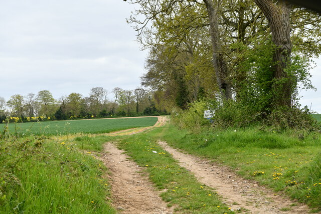
The plantation is a popular destination for outdoor activities such as hiking and picnicking. There are well-maintained trails that wind through the woodland, allowing visitors to explore and discover the beauty of the area. The plantation also offers designated picnic spots, where visitors can relax and enjoy a meal amidst the tranquil surroundings.
Overall, Mill Plantation in Suffolk is a serene and picturesque woodland, offering a unique blend of history, nature, and outdoor activities for visitors to enjoy.
If you have any feedback on the listing, please let us know in the comments section below.
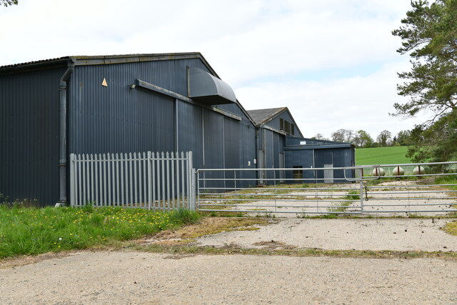
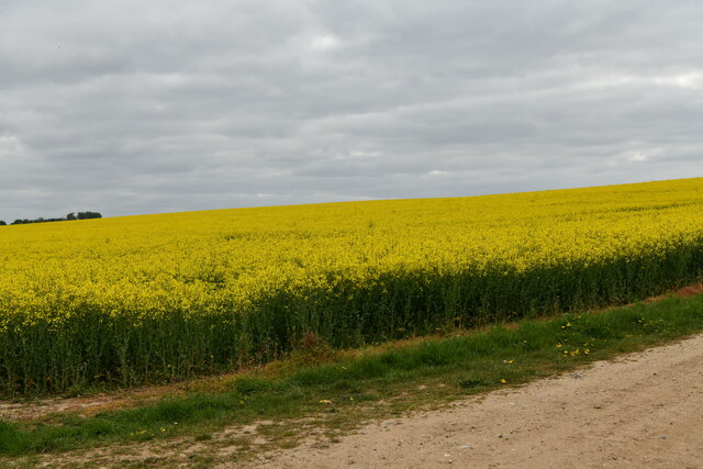
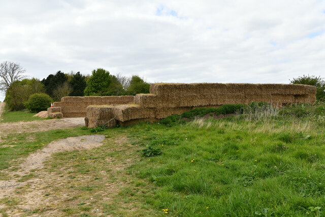
Mill Plantation Images
Images are sourced within 2km of 52.208232/0.52240446 or Grid Reference TL7259. Thanks to Geograph Open Source API. All images are credited.


Mill Plantation is located at Grid Ref: TL7259 (Lat: 52.208232, Lng: 0.52240446)
Administrative County: Suffolk
District: West Suffolk
Police Authority: Suffolk
What 3 Words
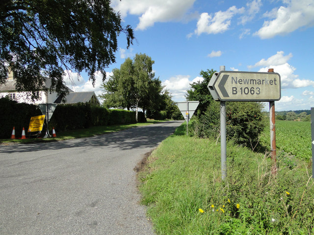
///existence.merit.pelting. Near Newmarket, Suffolk
Nearby Locations
Related Wikis

Lidgate Castle
Lidgate Castle is a medieval motte and bailey castle in the village of Lidgate, Suffolk, England, built to an unusual quadrangular design. == Details... ==

Ousden
Ousden is a village and civil parish in the West Suffolk district of Suffolk in eastern England. It is located around six miles west of Bury St Edmunds...
Lower Mill, Dalham
Lower Mill or Opposition Mill is a Grade II* listed smock mill at Dalham, Suffolk, England which has been preserved. == History == Lower Mill or Opposition...
Dalham
Dalham is a village and civil parish in the West Suffolk district of Suffolk, England. The name, meaning 'homestead/village in a valley' is of Old English...
Nearby Amenities
Located within 500m of 52.208232,0.52240446Have you been to Mill Plantation?
Leave your review of Mill Plantation below (or comments, questions and feedback).