Round Wood
Wood, Forest in Sussex Rother
England
Round Wood

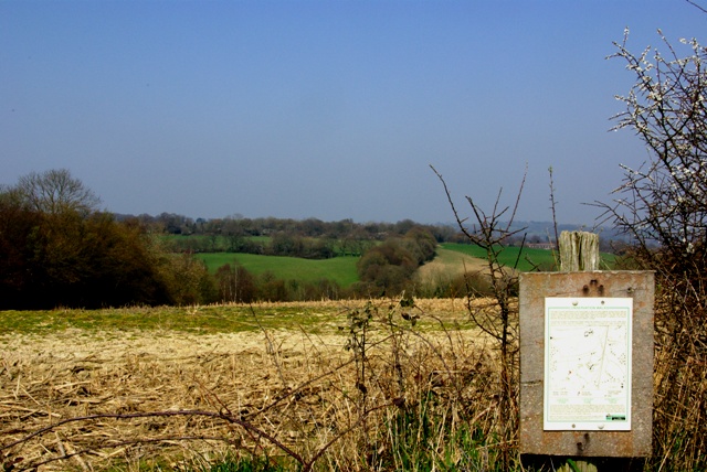
Round Wood is a picturesque forest located in the county of Sussex, England. With its rich history and abundant natural beauty, this woodland area attracts nature enthusiasts, hikers, and history lovers alike.
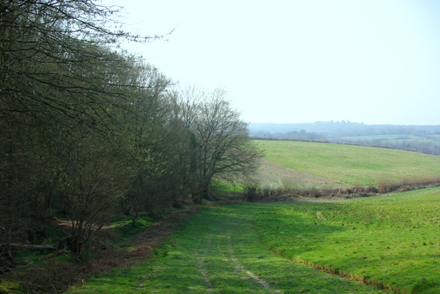
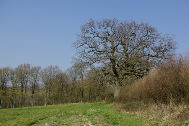
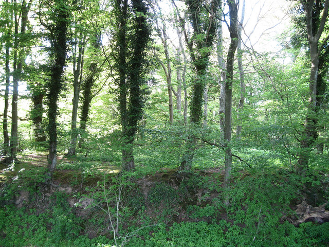
Covering an expansive area of approximately 500 acres, Round Wood is characterized by its dense canopy of trees, predominantly consisting of oak, beech, and birch. The forest is home to a diverse range of wildlife, including deer, foxes, badgers, and an array of bird species. The tranquil atmosphere and lush greenery make it an ideal spot for birdwatching and wildlife photography.
The wood has a long-standing history, dating back to medieval times. It was once part of a royal hunting ground and was later used as a timber resource during the industrial revolution. Today, remnants of its past can still be found in the form of old charcoal burning platforms and saw pits. These historical features give visitors a glimpse into the area's past and add to the charm of the woodland.
For outdoor enthusiasts, Round Wood offers a network of well-maintained walking trails, allowing visitors to explore its beauty at their own pace. The paths wind through the forest, passing by ancient trees and offering breathtaking views of the surrounding countryside. There are also designated picnic areas, providing the perfect opportunity to relax and enjoy the peaceful surroundings.
In addition to its natural and historical appeal, Round Wood is also a popular destination for educational visits. The forest hosts guided tours and workshops, offering visitors the chance to learn about woodland management, conservation efforts, and the various species that call the area home.
Overall, Round Wood is a captivating destination that offers a harmonious blend of nature, history, and outdoor activities. Whether one seeks solitude amidst nature or wishes to delve into the forest's past, this woodland gem in Sussex has something to offer for everyone.
If you have any feedback on the listing, please let us know in the comments section below.
Round Wood Images
Images are sourced within 2km of 50.970798/0.44763455 or Grid Reference TQ7121. Thanks to Geograph Open Source API. All images are credited.


Round Wood is located at Grid Ref: TQ7121 (Lat: 50.970798, Lng: 0.44763455)
Administrative County: East Sussex
District: Rother
Police Authority: Sussex
What 3 Words
///hunk.thinnest.shelter. Near Robertsbridge, East Sussex
Nearby Locations
Related Wikis

Darwell Reservoir
Darwell Reservoir lies to the west of Mountfield, East Sussex, England. The reservoir provides water for Southern Water customers. The reservoir covers...
Glottenham Castle
Glottenham Castle was a castle in Mountfield, East Sussex, around 5 miles (8 km) north of Battle Abbey. Built in the 13th century, it was abandoned in...
Robertsbridge Community College
Robertsbridge Community College is a coeducational secondary school located in Robertsbridge in the English county of East Sussex.It was established in...

Darwell Wood
Darwell Wood is a 37.5-hectare (93-acre) biological Site of Special Scientific Interest north-west of Battle in East Sussex. == Species == Most of the...
Robertsbridge Junction railway station
Robertsbridge Junction is the terminus of the Rother Valley Railway, the extension of the Kent and East Sussex Railway from Bodiam to Robertsbridge. Because...
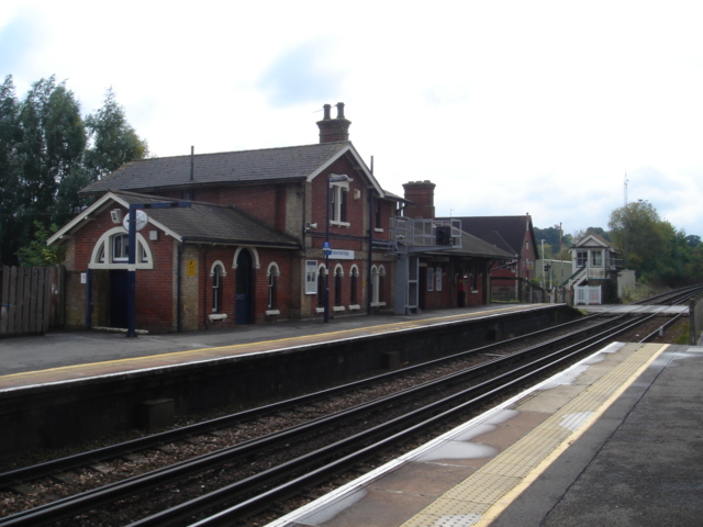
Robertsbridge railway station
Robertsbridge railway station is on the Hastings line in the south of England and serves the village of Robertsbridge, East Sussex. It is 49 miles 47 chains...
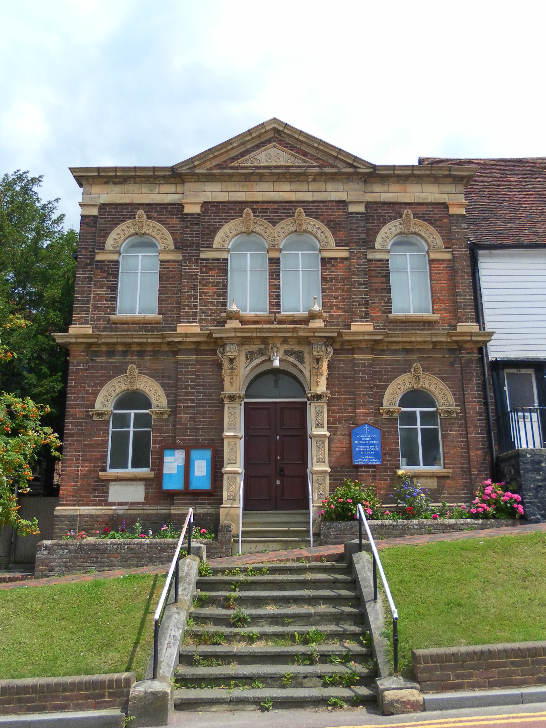
Robertsbridge United Reformed Church
Robertsbridge United Reformed Church (originally Robertsbridge Congregational Chapel) is a former United Reformed Church place of worship in Robertsbridge...

The Seven Stars Inn
The Seven Stars Inn is a 14th-century public house in Robertsbridge, East Sussex, a well-preserved example of a medieval building and a typical Sussex...
Have you been to Round Wood?
Leave your review of Round Wood below (or comments, questions and feedback).