Cropley Grove
Wood, Forest in Suffolk West Suffolk
England
Cropley Grove
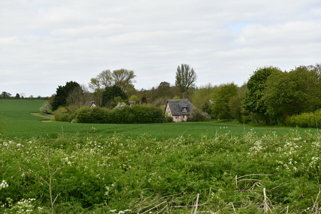
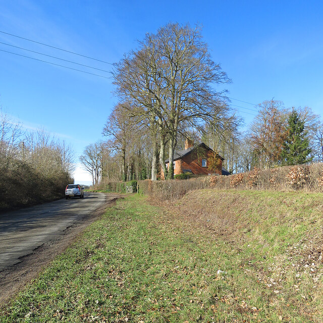
Cropley Grove is a picturesque woodland area located in Suffolk, England. Nestled amidst the rolling hills and lush countryside, it is a haven for nature lovers and outdoor enthusiasts alike.
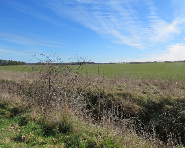
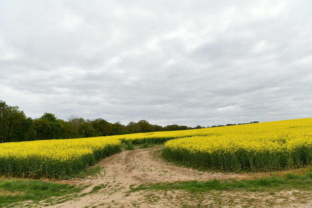
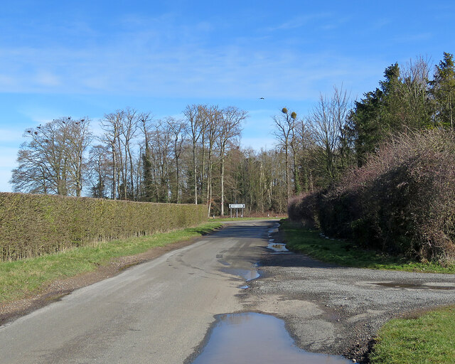
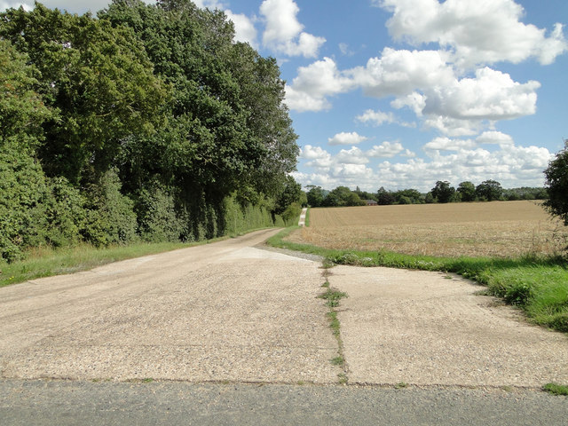
This enchanting forest spans over a vast area of approximately 500 acres, making it a perfect retreat for those seeking tranquility and solitude. The landscape is dominated by towering oak and beech trees, which create a dense canopy, providing shade and shelter for a diverse range of flora and fauna. The forest floor is adorned with an array of wildflowers, adding a burst of color to the surroundings.
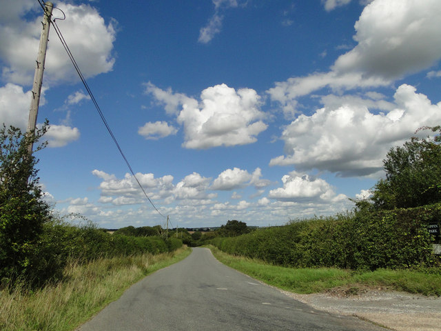
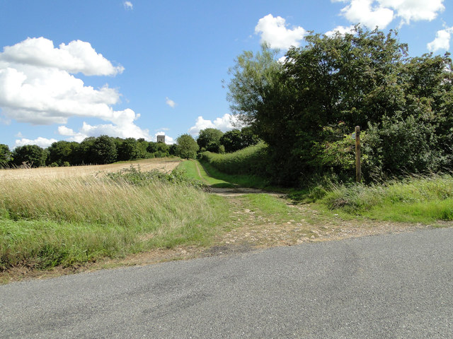
Cropley Grove offers a myriad of walking trails and pathways, allowing visitors to immerse themselves in the beauty of nature. The well-maintained trail network leads explorers through ancient woodlands, meandering streams, and hidden clearings, providing ample opportunities for hikers, joggers, and cyclists to enjoy the great outdoors.
The forest is also home to a rich variety of wildlife. Keen-eyed visitors may catch glimpses of deer, foxes, and a multitude of bird species, including woodpeckers and owls. Nature enthusiasts can indulge in birdwatching, as the forest provides a peaceful refuge for many rare and migratory birds.
Cropley Grove is a popular destination for families, offering picnic areas and designated camping spots. Adventure seekers can partake in activities such as orienteering and nature trails, designed to educate and entertain people of all ages.
Overall, Cropley Grove is a hidden gem in Suffolk, offering a tranquil escape from the bustling city life and providing a magnificent showcase of the region's natural beauty.
If you have any feedback on the listing, please let us know in the comments section below.
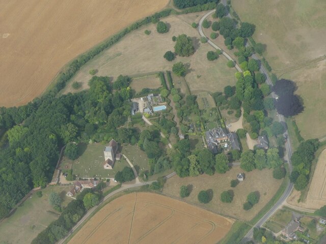
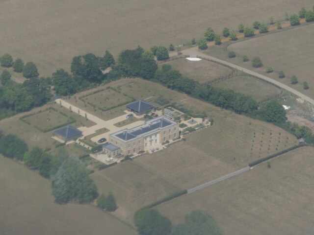
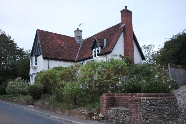
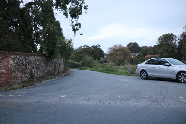
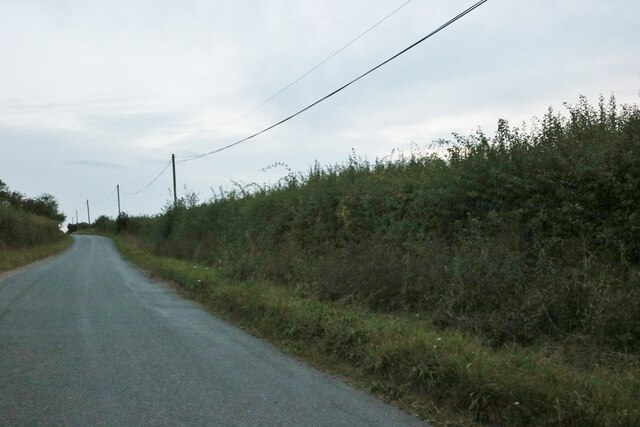
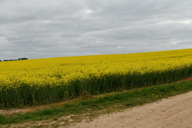
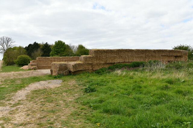
Cropley Grove Images
Images are sourced within 2km of 52.205817/0.51336846 or Grid Reference TL7159. Thanks to Geograph Open Source API. All images are credited.
Cropley Grove is located at Grid Ref: TL7159 (Lat: 52.205817, Lng: 0.51336846)
Administrative County: Suffolk
District: West Suffolk
Police Authority: Suffolk
What 3 Words
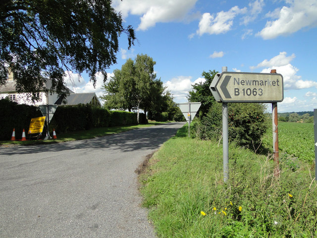
///result.enhanced.dispenser. Near Newmarket, Suffolk
Nearby Locations
Related Wikis

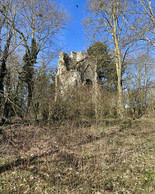
Lidgate Castle
Lidgate Castle is a medieval motte and bailey castle in the village of Lidgate, Suffolk, England, built to an unusual quadrangular design. == Details... ==
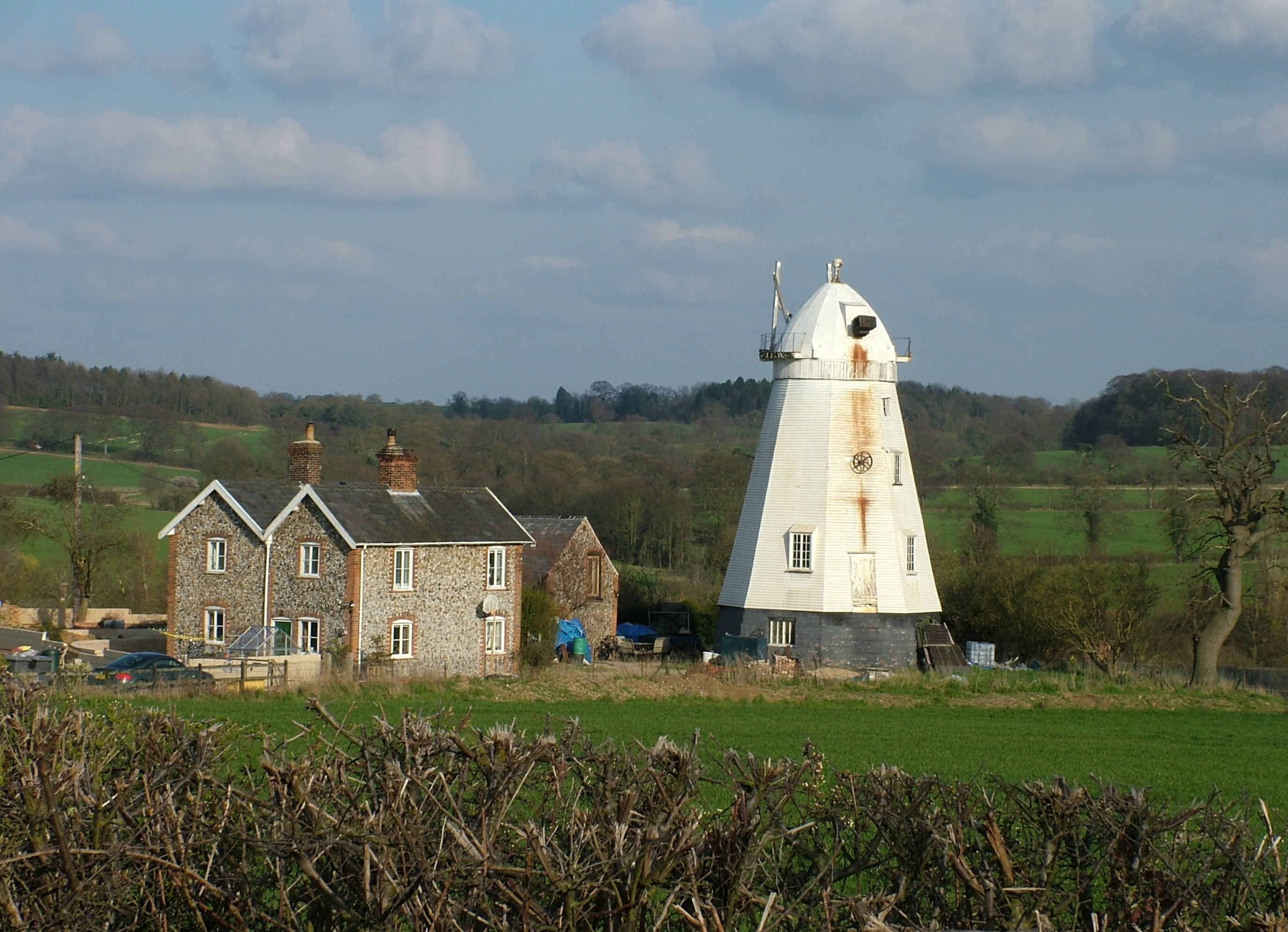
Lower Mill, Dalham
Lower Mill or Opposition Mill is a Grade II* listed smock mill at Dalham, Suffolk, England which has been preserved. == History == Lower Mill or Opposition...

Upend
Upend is a hamlet in the east of Cambridgeshire. It is five miles (8.0 km) south-east of Newmarket and lies in the same parish as Kirtling. Until the...
Dalham
Dalham is a village and civil parish in the West Suffolk district of Suffolk, England. The name, meaning 'homestead/village in a valley' is of Old English...
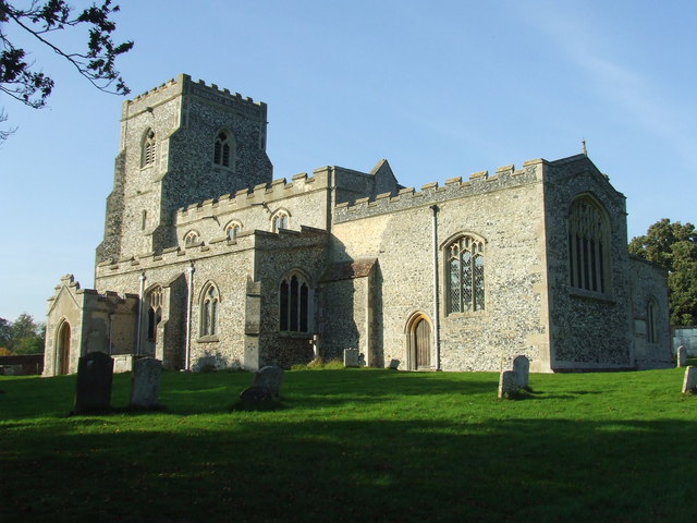
Lidgate
Lidgate is a small village and a civil parish in the West Suffolk district, in the English county of Suffolk. Lidgate is located on the B1063 road in between...

Ousden
Ousden is a village and civil parish in the West Suffolk district of Suffolk in eastern England. It is located around six miles west of Bury St Edmunds...

Dalham Hall
Dalham Hall is a country house and 3,300-acre (13 km2) estate, located in the village of Dalham, Suffolk, near Newmarket, and 13 kilometres (8 mi) west...
Ashley, Cambridgeshire
Ashley is a village and civil parish in the East Cambridgeshire district of Cambridgeshire, England, about 4 miles (6.4 km) east of Newmarket. The modern...
Nearby Amenities
Located within 500m of 52.205817,0.51336846Have you been to Cropley Grove?
Leave your review of Cropley Grove below (or comments, questions and feedback).