Chalkpit Clump
Wood, Forest in Suffolk West Suffolk
England
Chalkpit Clump
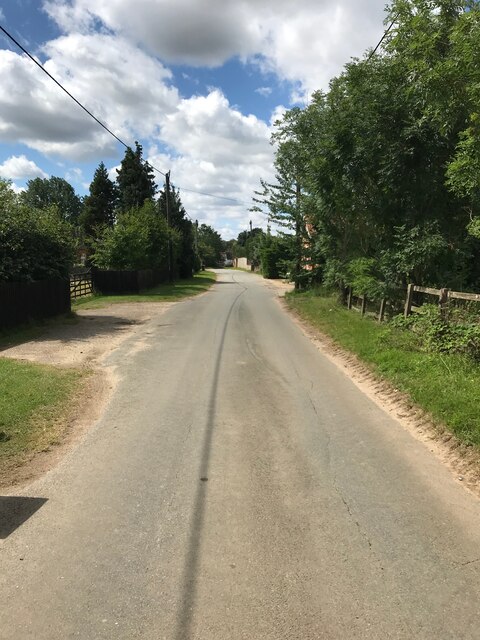
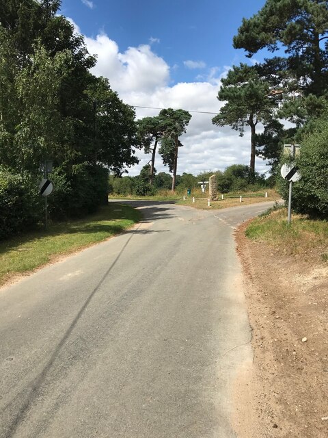
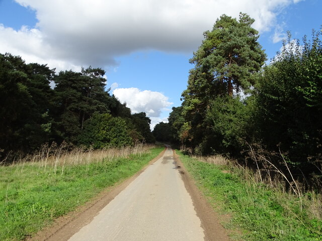
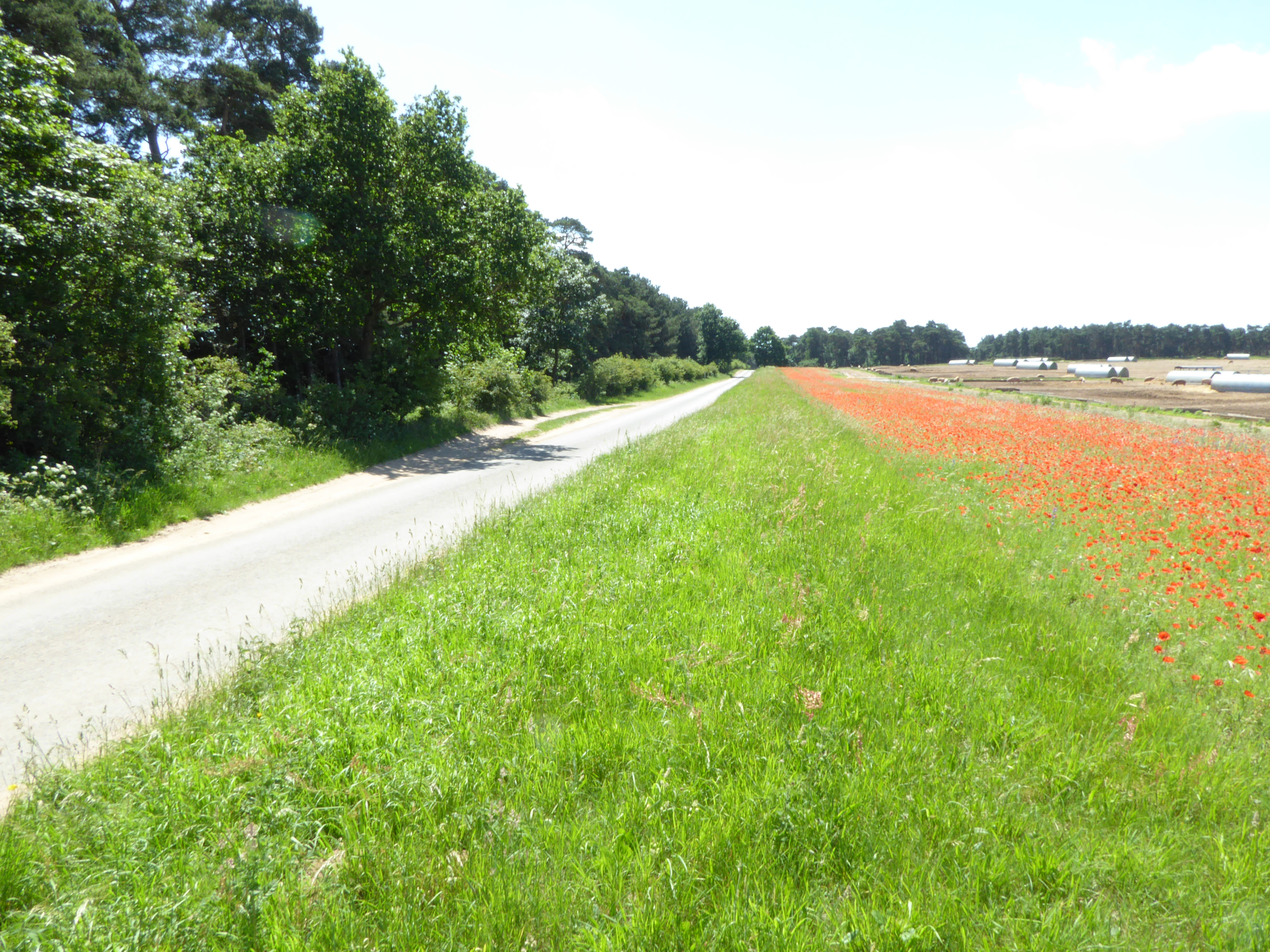
Chalkpit Clump is a picturesque woodland area located in Suffolk, England. Situated near the village of Woolpit, this charming clump is known for its natural beauty and tranquil atmosphere. Covering an area of approximately 50 acres, Chalkpit Clump is predominantly made up of deciduous trees, including oak, beech, and ash, which create a dense and lush forest setting.
The name "Chalkpit Clump" refers to the chalk pit that used to be located within the woodland. This historic feature, which has now been filled in, was once used for mining chalk, a common material in this region. The clump itself is elevated, providing visitors with stunning panoramic views of the surrounding countryside.
The woodland is home to a diverse range of wildlife, including various bird species, such as nuthatches, woodpeckers, and jays. It also provides habitats for small mammals, such as hedgehogs and squirrels, as well as a variety of insects and butterflies.
Chalkpit Clump is a popular destination for nature enthusiasts and walkers who enjoy exploring the peaceful trails that wind through the woods. These paths offer a chance to immerse oneself in nature and enjoy the tranquility of the surroundings. The clump is particularly beautiful in the spring when the forest floor is carpeted with bluebells, creating a stunning display of color.
Overall, Chalkpit Clump is a charming woodland area in Suffolk that offers visitors a chance to escape the hustle and bustle of daily life and immerse themselves in the beauty of nature.
If you have any feedback on the listing, please let us know in the comments section below.
Chalkpit Clump Images
Images are sourced within 2km of 52.308046/0.50860864 or Grid Reference TL7170. Thanks to Geograph Open Source API. All images are credited.


Chalkpit Clump is located at Grid Ref: TL7170 (Lat: 52.308046, Lng: 0.50860864)
Administrative County: Suffolk
District: West Suffolk
Police Authority: Suffolk
What 3 Words
///fastening.rebounds.rushed. Near Mildenhall, Suffolk
Nearby Locations
Related Wikis

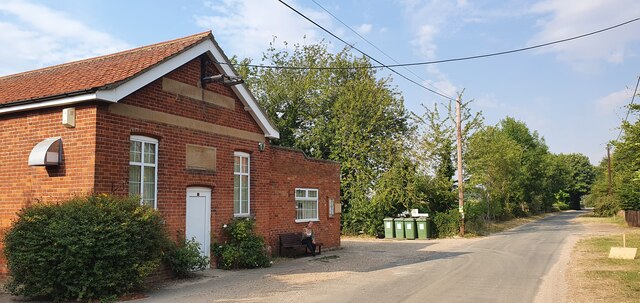
Herringswell
Herringswell is a village and civil parish in the West Suffolk district of Suffolk in eastern England. In 2005 it had a population of 190. In 2007 there...

Red Lodge, Suffolk
Red Lodge is a village and civil parish situated in rural Suffolk, England, between Mildenhall and Newmarket, and very close to the A11 and A14 roads....

Shi-Tennoji School in UK
Shi-Tennoji School in UK (英国四天王寺学園, Eikoku Shitennōji Gakuen) was a Japanese international secondary school in Herringswell, Suffolk, England, United Kingdom...

Red Lodge Heath
Red Lodge Heath is a 20.8-hectare (51-acre) biological Site of Special Scientific Interest in Red Lodge in Suffolk.Habitats on this site are chalk grassland...
Cherry Hill and The Gallops, Barton Mills
Cherry Hill and The Gallops, Barton Mills is a 10.4-hectare (26-acre) biological Site of Special Scientific Interest south of Barton Mills in Suffolk....

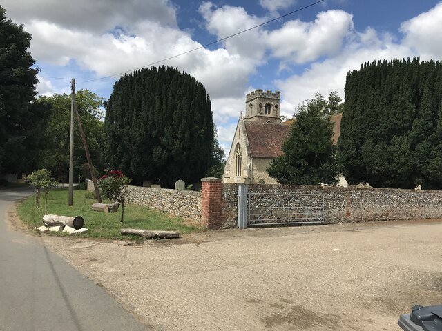
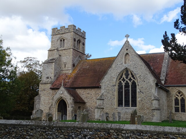
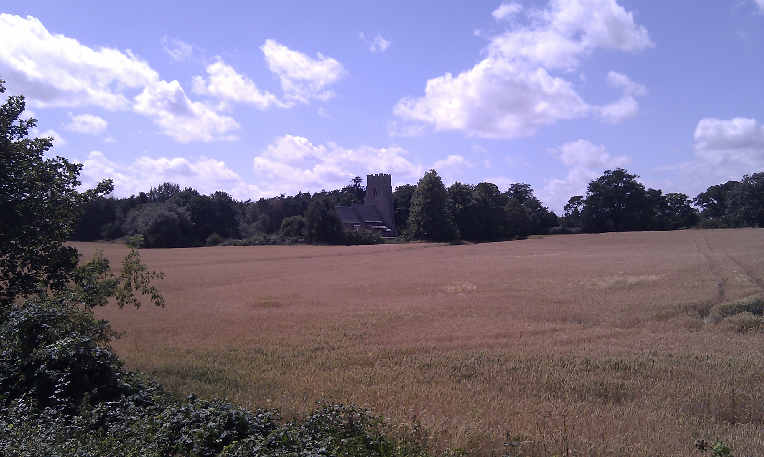
St Nicholas Church, Kennett
St Nicholas Church is the parish church of the village of Kennett in east Cambridgeshire. It has been dedicated to St Nicholas since the 13th century....

Tuddenham
Tuddenham is a village and civil parish in the West Suffolk district of Suffolk in eastern England. In 2005 it had a population of 450. falling to 423...
Kennett, Cambridgeshire
Kennett is a small village and civil parish at the very eastern tip of Cambridgeshire, England. Situated around 2.5 miles (4.0 km) north-east of Newmarket...
Nearby Amenities
Located within 500m of 52.308046,0.50860864Have you been to Chalkpit Clump?
Leave your review of Chalkpit Clump below (or comments, questions and feedback).