Berries Wood

Wood, Forest in Suffolk West Suffolk

England

Berries Wood

Herringswell road
Herringswell road Credit: Dave Thompson

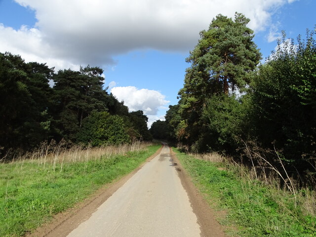
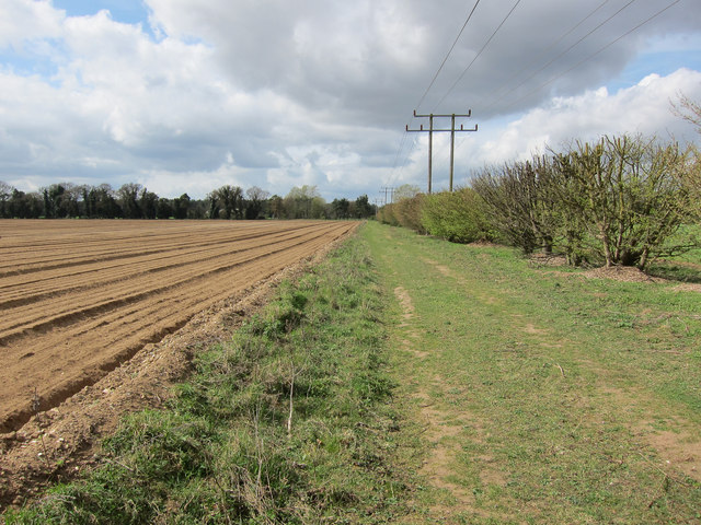
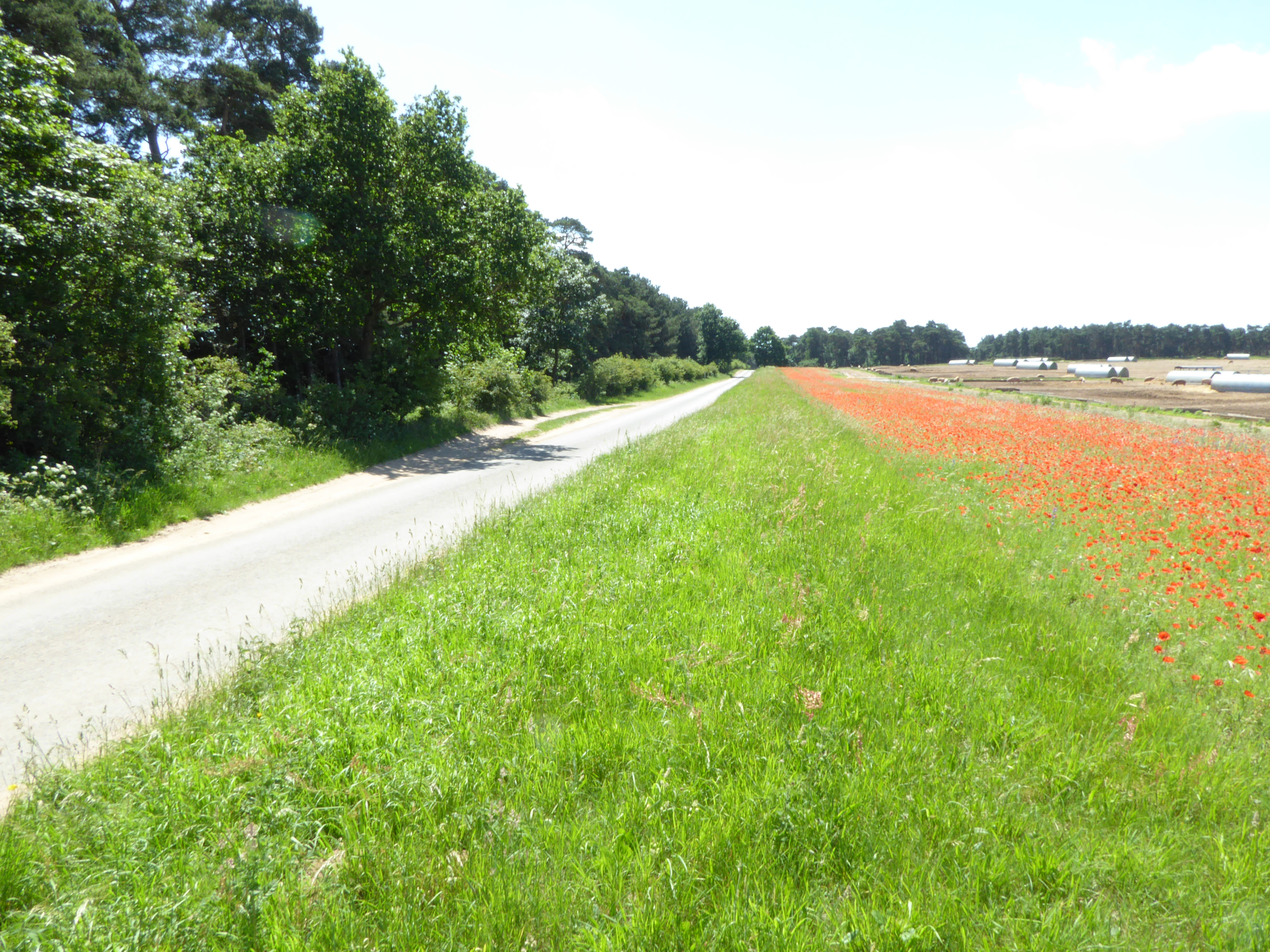
Berries Wood is a serene and picturesque woodland located in the county of Suffolk, England. This enchanting forest covers an area of approximately 100 acres and is renowned for its natural beauty and diverse flora and fauna.

The wood is predominantly composed of broadleaf trees, including oak, beech, and birch, which provide a dense canopy, creating a cool and shaded environment. The forest floor is adorned with a colorful carpet of wildflowers, such as bluebells and primroses, adding to the wood's enchanting atmosphere.

Berries Wood is intersected by several well-maintained walking trails, which allow visitors to explore the woodland and its surroundings. These paths wind through the forest, revealing hidden glades, babbling brooks, and small ponds, providing a habitat for a variety of wildlife. Nature enthusiasts can expect to encounter an array of bird species, including woodpeckers and nightingales, as well as mammals like deer, squirrels, and rabbits.

The wood is managed by the local council and is open to the public year-round. It offers an idyllic setting for leisurely walks, picnics, and nature photography. The tranquil ambiance and the symphony of natural sounds make Berries Wood a popular destination for those seeking solace and tranquility away from the hustle and bustle of everyday life.

Overall, Berries Wood is a hidden gem in Suffolk, offering a peaceful and immersive experience in nature. Whether you are a nature lover, a photographer, or simply seeking a tranquil retreat, this woodland is sure to captivate and inspire.

If you have any feedback on the listing, please let us know in the comments section below.
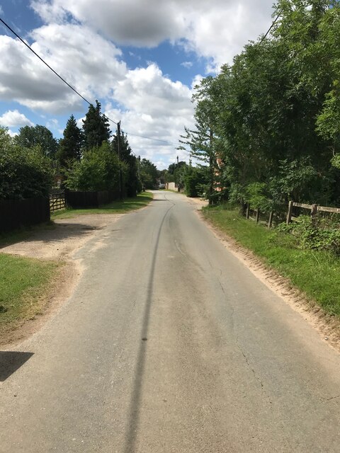
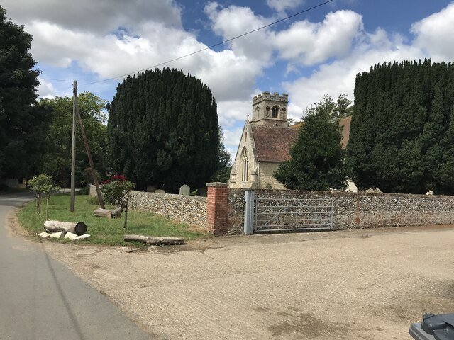
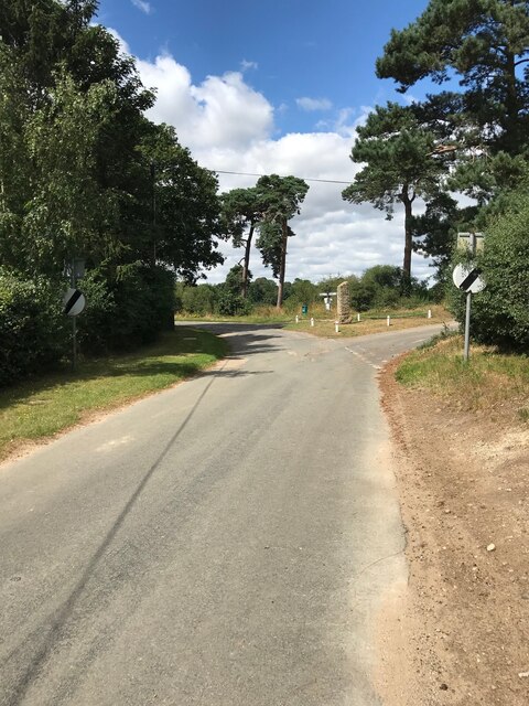
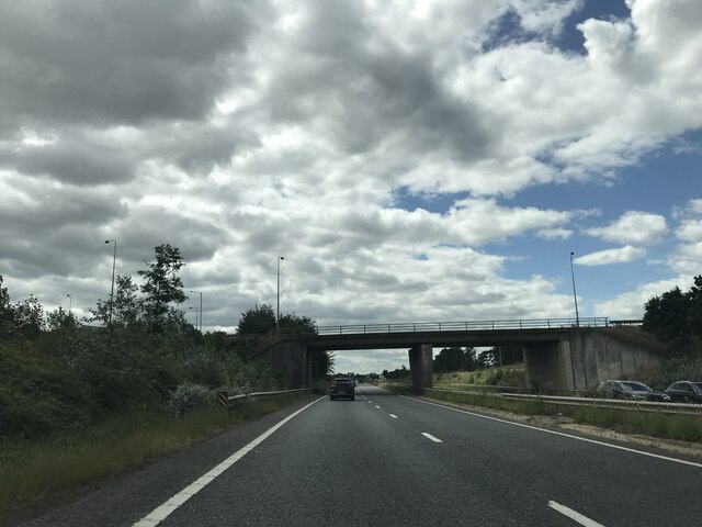
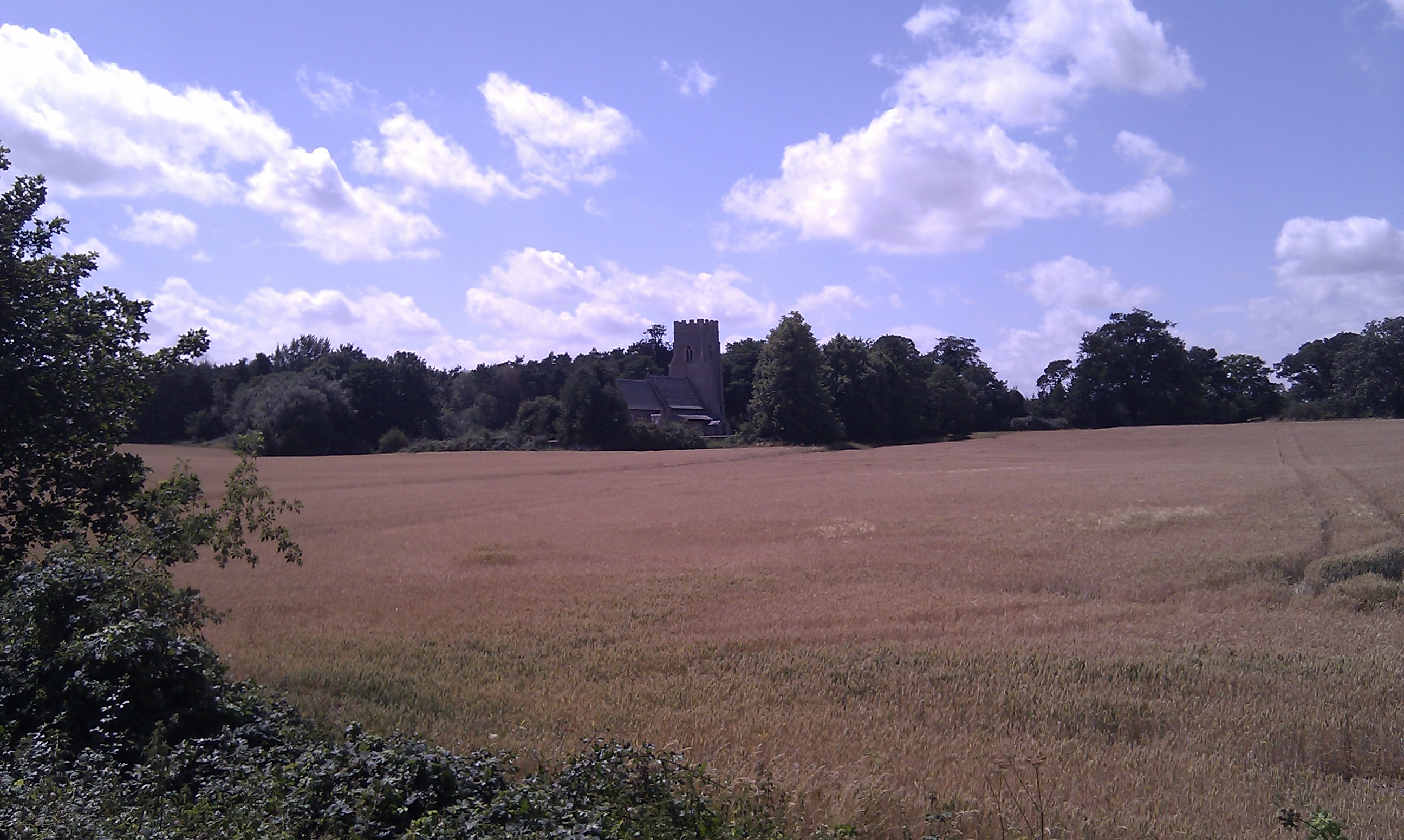
Berries Wood Images

Images are sourced within 2km of 52.302982/0.517549 or Grid Reference TL7170. Thanks to Geograph Open Source API. All images are credited.

Herringswell road
Herringswell road
Tuddenham footpath
Tuddenham footpath
Herringswell Church
Herringswell Church
Bridleway to Herringswell
Herringswell junction
Road towards Tuddenham
A11 signage
A11 signage
B1085 bridge over A11
The Davies Memorial Hall, Herringwell
Patterned ground near Tuddenham: aerial 2022
Herringswell Church
Herringswell Church
Water tower
Water tower
Herringswell Road
Herringswell Road
Bridleway to Charity Farm With a furrowed field to the left, ready for root vegetables (probably potatoes).
Bridleway to Charity Farm
With a furrowed field to the left, ready for root vegetables (probably potatoes).
Charity Farm (remains) Pity, looks like it was a nice place.
Charity Farm (remains)
Pity, looks like it was a nice place.
Charity Farm (remains) Detail showing the construction materials, see <a href="https://www.geograph.org.uk/photo/2541971">TL7369 : Charity Farm (remains)</a>
Charity Farm (remains)
Detail showing the construction materials, see TL7369 : Charity Farm (remains)
St Ethelbert Herringswell The church of St Ethelbert Herringswell, Suffolk for more info see <span class="nowrap"><a title="http://www.suffolkchurches.co.uk/herringswell.htm" rel="nofollow ugc noopener" href="http://www.suffolkchurches.co.uk/herringswell.htm">Link</a><img style="margin-left:2px;" alt="External link" title="External link - shift click to open in new window" src="https://s1.geograph.org.uk/img/external.png" width="10" height="10"/></span>
St Ethelbert Herringswell
The church of St Ethelbert Herringswell, Suffolk for more info see LinkExternal link
Telegraph Pole And Tree Telegraph pole and tree at Herringswell, Suffolk see <a title="https://www.geograph.org.uk/photo/2808099" href="https://www.geograph.org.uk/photo/2808099">Link</a> to view the suppory wire having grown inside the tree.
Telegraph Pole And Tree
Telegraph pole and tree at Herringswell, Suffolk see Link to view the suppory wire having grown inside the tree.
Show me another place!

Berries Wood is located at Grid Ref: TL7170 (Lat: 52.302982, Lng: 0.517549)

Administrative County: Suffolk

District: West Suffolk

Police Authority: Suffolk

What 3 Words

///manly.bangle.haggle. Near Mildenhall, Suffolk
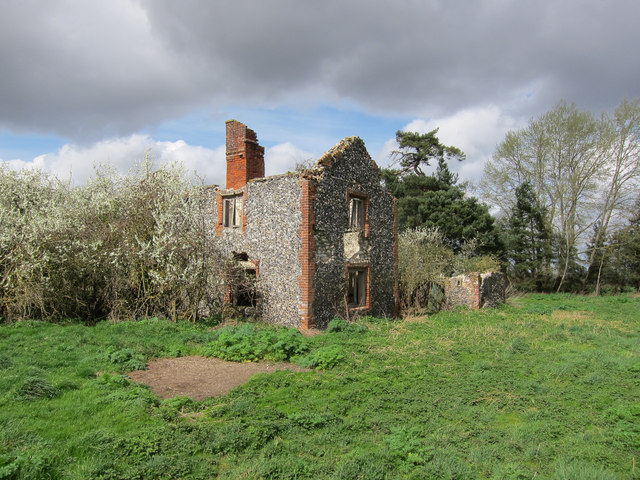
Related Wikis

Herringswell

Herringswell is a village and civil parish in the West Suffolk district of Suffolk in eastern England. In 2005 it had a population of 190. In 2007 there...

Shi-Tennoji School in UK

Shi-Tennoji School in UK (英国四天王寺学園, Eikoku Shitennōji Gakuen) was a Japanese international secondary school in Herringswell, Suffolk, England, United Kingdom...

Red Lodge, Suffolk

Red Lodge is a village and civil parish situated in rural Suffolk, England, between Mildenhall and Newmarket, and very close to the A11 and A14 roads....

Cherry Hill and The Gallops, Barton Mills

Cherry Hill and The Gallops, Barton Mills is a 10.4-hectare (26-acre) biological Site of Special Scientific Interest south of Barton Mills in Suffolk....

Red Lodge Heath

Red Lodge Heath is a 20.8-hectare (51-acre) biological Site of Special Scientific Interest in Red Lodge in Suffolk.Habitats on this site are chalk grassland...

Tuddenham

Tuddenham is a village and civil parish in the West Suffolk district of Suffolk in eastern England. In 2005 it had a population of 450. falling to 423...

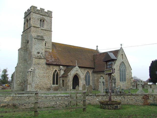
St Nicholas Church, Kennett

St Nicholas Church is the parish church of the village of Kennett in east Cambridgeshire. It has been dedicated to St Nicholas since the 13th century....

Kennett, Cambridgeshire

Kennett is a small village and civil parish at the very eastern tip of Cambridgeshire, England. Situated around 2.5 miles (4.0 km) north-east of Newmarket...

Nearby Amenities

Located within 500m of 52.302982,0.517549
Herringswell
Alt Name: IP28 6ST
Is In: Forest Heath
Place: hamlet
Wikidata: Q4518975
Lat/Long: 52.3015696/0.5194537
Bus Stop
Memorial
Naptan AtcoCode: 390020278
Naptan Bearing: NE
Naptan CommonName: Memorial
Naptan Indicator: opp
Naptan Landmark: Memorial
Naptan NaptanCode: sufajpwt
Naptan Street: Herringswell Road
Naptan Verified: no
Source: naptan_import
Lat/Long: 52.301509/0.5153796
Memorial
Naptan AtcoCode: 390020279
Naptan Bearing: SW
Naptan BusStopType: CUS
Naptan CommonName: Memorial
Naptan Indicator: adj
Naptan Landmark: Memorial
Naptan NaptanCode: sufajtad
Naptan Street: Herringswell Road
Naptan Verified: no
Source: naptan_import
Lat/Long: 52.3014804/0.5154513
Power: pole
Lat/Long: 52.3019923/0.5243531
Power: pole
Lat/Long: 52.2997436/0.5198978
Power: pole
Lat/Long: 52.2993762/0.5184172
Power: pole
Lat/Long: 52.3001537/0.5216358
Power: pole
Lat/Long: 52.3005344/0.5231808
Historic: memorial
Memorial: war_memorial
Lat/Long: 52.3014657/0.5155259
Post Box
Collection Times: Mo-Fr 10:45; Sa 10:45
Post Box Mounting: pier
Post Box Type: lamp
Ref: IP28 2182
Royal Cypher: EIIR
Royal Cypher Wikidata: Q33102113
Lat/Long: 52.3009885/0.5198309
Addr City: Bury St Edmunds
Addr Housename: The Beehive
Addr Postcode: IP28 6ST
Addr Street: The Street
Addr Village: Herringswell
Source Addr Postcode: code-point_open
Lat/Long: 52.3006624/0.5165852
Telephone
Booth: K6
Covered: booth
Listed Status: Grade II
Phone: +44 1638 750211
Lat/Long: 52.3006991/0.5193082
Defibrillator
Defibrillator Location: On outside wall of Davies Memorial Hall, Herringswell. In the covered porch area, next to the main entrance from the car park.
Emergency: defibrillator
Ref GB The Circuit: D1E93F6A-D280-4622-8C13-AEB70109D25F
Lat/Long: 52.3015544/0.5209679
Entrance: main
Lat/Long: 52.3015576/0.5209538
Recycling
Recycling Glass: yes
Recycling Type: container
Lat/Long: 52.3015208/0.5211381
The data included in this document is from www.openstreetmap.org. The data is made available under ODbL.

Have you been to Berries Wood?

Leave your review of Berries Wood below (or comments, questions and feedback).