Ella's Plantation
Wood, Forest in Suffolk West Suffolk
England
Ella's Plantation

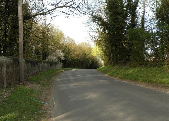
Ella's Plantation, located in Suffolk, is a stunning wood and forest area that covers a vast expanse of land. Spanning approximately 200 acres, this plantation is a haven for nature lovers and outdoor enthusiasts, offering a unique and peaceful experience.
The plantation is known for its diverse range of plant species, including towering oak trees, vibrant wildflowers, and various types of shrubs and grasses. The lush greenery creates a picturesque landscape, making it a popular destination for photographers and artists alike.
Visitors to Ella's Plantation can enjoy a variety of recreational activities. Walking trails crisscross the area, allowing visitors to explore the stunning natural surroundings at their own pace. The trails are well-maintained and offer different levels of difficulty, catering to both beginners and experienced hikers.
The plantation also boasts a designated picnic area, where visitors can relax and enjoy a meal amidst the serene ambiance of the forest. Birdwatchers will be delighted to spot various species of birds, including woodpeckers, owls, and robins, among others.
Ella's Plantation is not only a place of natural beauty but also a site of historical significance. The land has been owned by the Ella family for generations and has witnessed the passage of time. Visitors can learn about the plantation's history through informative displays and exhibits located throughout the area.
Overall, Ella's Plantation is a must-visit destination for those seeking tranquility and a deep connection with nature. Its stunning wood and forest scenery, combined with its rich history, make it a truly remarkable place to explore.
If you have any feedback on the listing, please let us know in the comments section below.
Ella's Plantation Images
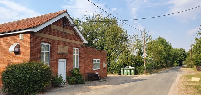
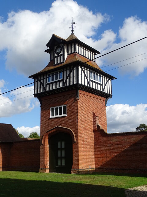
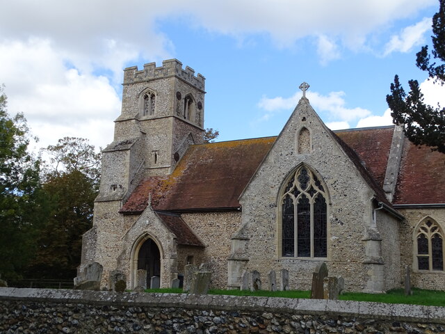
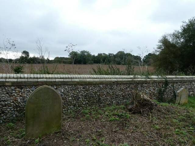
Images are sourced within 2km of 52.296788/0.50181212 or Grid Reference TL7069. Thanks to Geograph Open Source API. All images are credited.


Ella's Plantation is located at Grid Ref: TL7069 (Lat: 52.296788, Lng: 0.50181212)
Administrative County: Suffolk
District: West Suffolk
Police Authority: Suffolk
What 3 Words
///holly.whiplash.warmers. Near Mildenhall, Suffolk
Nearby Locations
Related Wikis

Red Lodge, Suffolk
Red Lodge is a village and civil parish situated in rural Suffolk, England, between Mildenhall and Newmarket, and very close to the A11 and A14 roads....

Herringswell
Herringswell is a village and civil parish in the West Suffolk district of Suffolk in eastern England. In 2005 it had a population of 190. In 2007 there...

Red Lodge Heath
Red Lodge Heath is a 20.8-hectare (51-acre) biological Site of Special Scientific Interest in Red Lodge in Suffolk. Habitats on this site are chalk grassland...

St Nicholas Church, Kennett
St Nicholas Church is the parish church of the village of Kennett in east Cambridgeshire. It has been dedicated to St Nicholas since the 13th century....
Nearby Amenities
Located within 500m of 52.296788,0.50181212Have you been to Ella's Plantation?
Leave your review of Ella's Plantation below (or comments, questions and feedback).