Beech Belt

Wood, Forest in Suffolk West Suffolk

England

Beech Belt

Footbridge over A11
Footbridge over A11 Credit: Dave Thompson

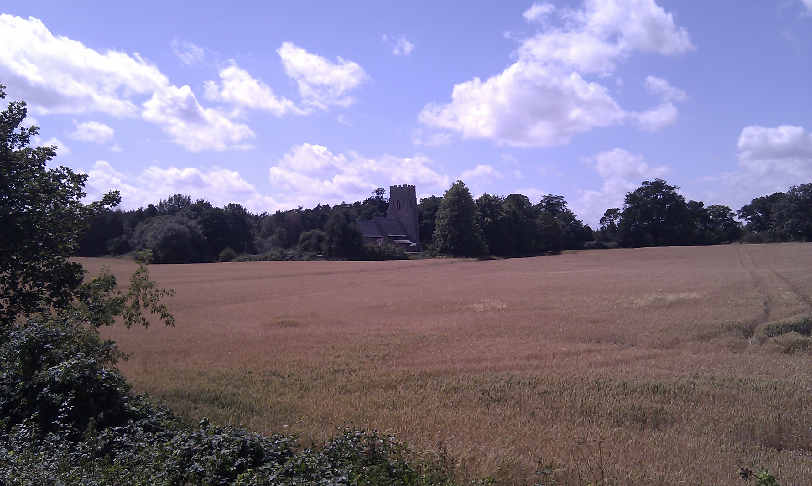
Beech Belt, Suffolk, also known as the Beech Wood or Beech Forest, is a picturesque woodland located in the county of Suffolk, England. Covering an area of approximately 300 acres, it is known for its stunning beech trees, which dominate the landscape and give the forest its name.

The forest is a popular destination for nature lovers, hikers, and photographers, who come to admire the beauty and tranquility of the surroundings. The dense canopy of the beech trees provides a cool and shaded atmosphere, making it an ideal spot for a relaxing walk on a sunny day or a peaceful picnic with family and friends.

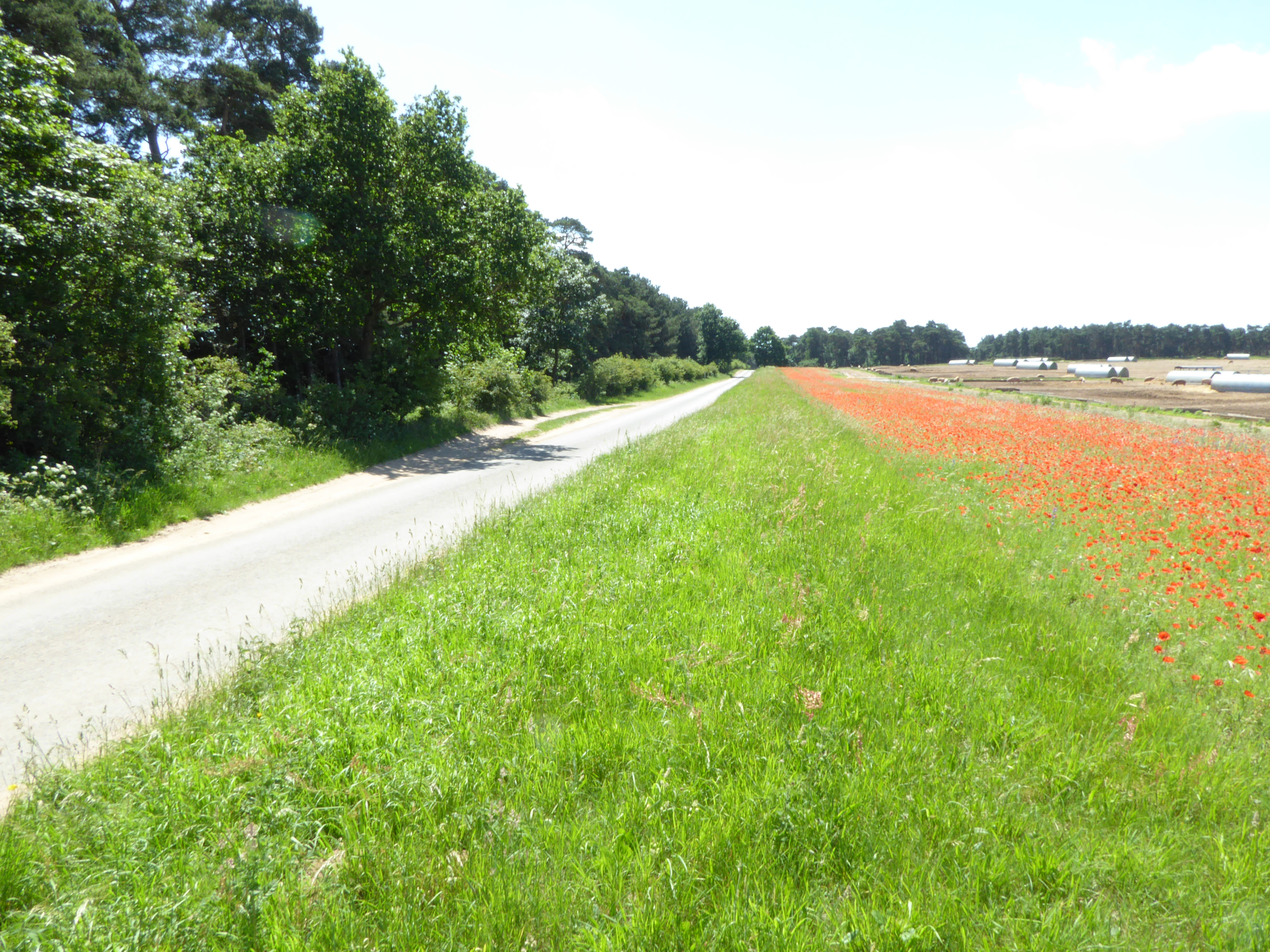
In addition to its natural beauty, Beech Belt is also home to a rich variety of wildlife. Visitors may spot deer, foxes, rabbits, and a wide range of bird species, including woodpeckers and owls. The forest is also abundant in wildflowers and mushrooms, making it a perfect spot for nature enthusiasts and photographers looking to capture the beauty of the flora and fauna.

Beech Belt offers a network of well-maintained trails and paths, allowing visitors to explore the forest at their own pace. The trails cater to different levels of fitness and offer opportunities for both short walks and longer hikes. Interpretive signs and information boards are strategically placed throughout the forest, providing educational insights into the local flora and fauna.

Whether you are seeking a peaceful retreat, a chance to connect with nature, or an opportunity to capture stunning photographs, Beech Belt, Suffolk, is a wonderful destination that offers a truly enchanting experience for all who visit.

If you have any feedback on the listing, please let us know in the comments section below.
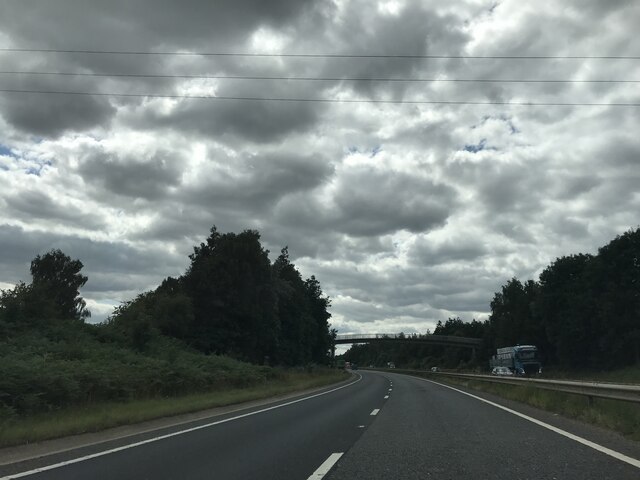
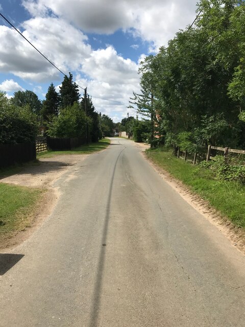
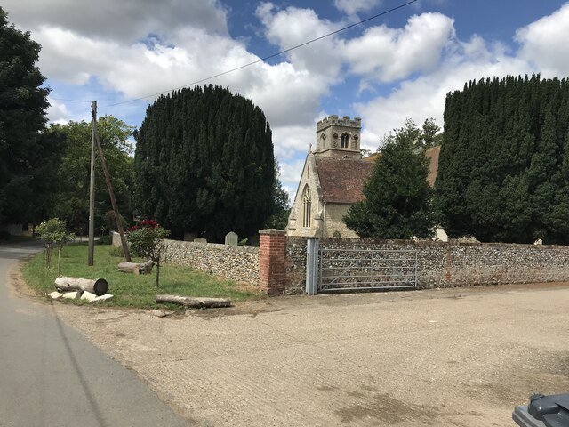
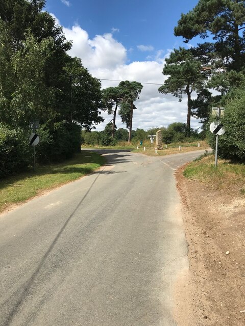
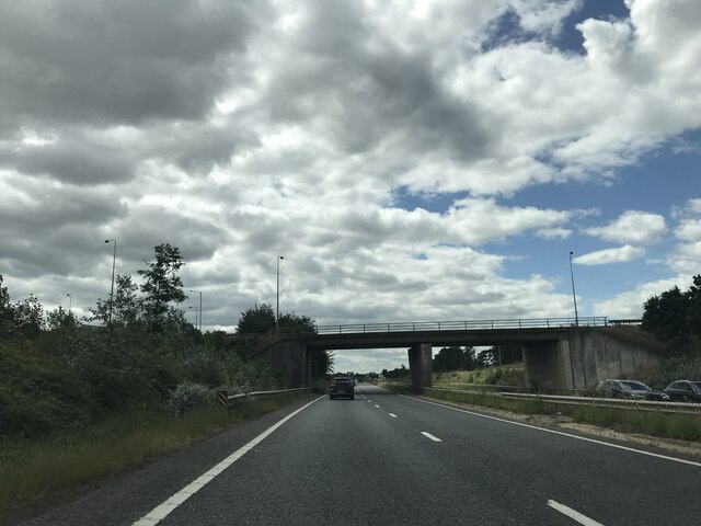
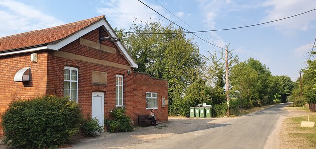
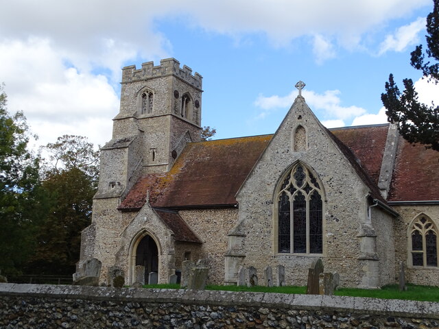
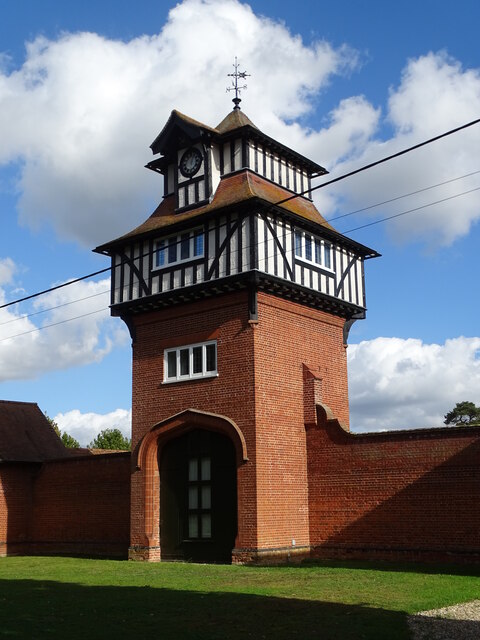
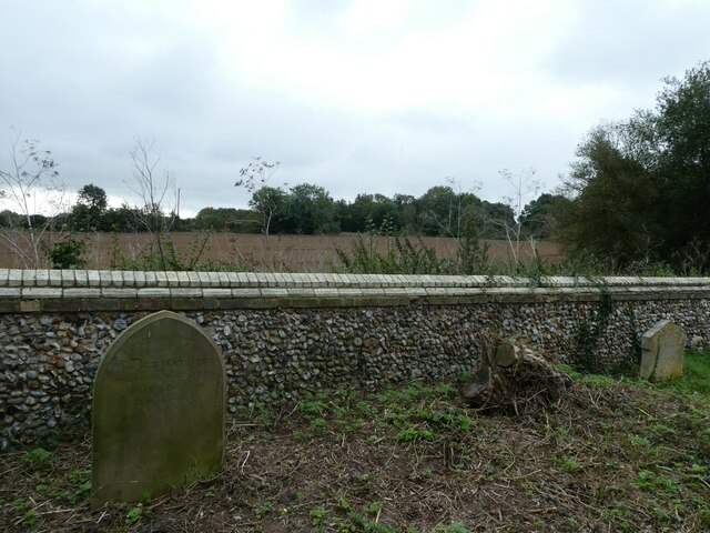
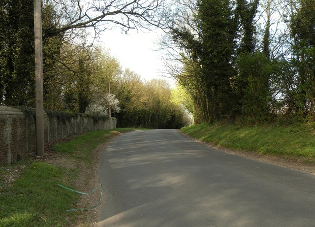
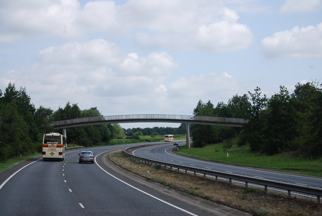
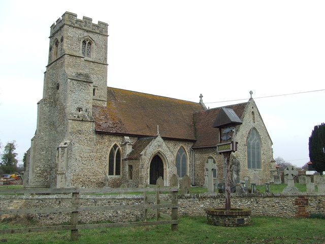
Beech Belt Images

Images are sourced within 2km of 52.299152/0.49717846 or Grid Reference TL7069. Thanks to Geograph Open Source API. All images are credited.

Footbridge over A11
Footbridge over A11
Herringswell road
Herringswell road
Herringswell Church
Herringswell Church
Herringswell junction
A11 signage
A11 signage
B1085 bridge over A11
The Davies Memorial Hall, Herringwell
Herringswell Church
Herringswell Church
Water tower
Water tower
Farmland seen from the back of Kennett Churchyard
Dane Hill Road in Kennett
Footbridge over the A11, Red Lodge The A11 is a major road in Eastern England. It runs roughly north east for 111 miles from London to Norwich, With the M11 opening in the 1970s and then the A12 extension in 1999, a lengthy section has been downgraded between the suburbs of east London and the north-west corner of the county of Essex. It also overlaps with the A14 on the Newmarket bypass.
<span class="nowrap"><a title="http://www.sabre-roads.org.uk/wiki/index.php?title=A11" rel="nofollow ugc noopener" href="http://www.sabre-roads.org.uk/wiki/index.php?title=A11">Link</a><img style="margin-left:2px;" alt="External link" title="External link - shift click to open in new window" src="https://s1.geograph.org.uk/img/external.png" width="10" height="10"/></span>
Footbridge over the A11, Red Lodge
The A11 is a major road in Eastern England. It runs roughly north east for 111 miles from London to Norwich, With the M11 opening in the 1970s and then the A12 extension in 1999, a lengthy section has been downgraded between the suburbs of east London and the north-west corner of the county of Essex. It also overlaps with the A14 on the Newmarket bypass. LinkExternal link
Red Lodge Warren
Red Lodge Warren
New housing development, Red Lodge
Footbridge over the A11 near Heath Farm The A11 is a major road in Eastern England. It runs roughly north east for 111 miles from London to Norwich, With the M11 opening in the 1970s and then the A12 extension in 1999, a lengthy section has been downgraded between the suburbs of east London and the north-west corner of the county of Essex. It also overlaps with the A14 on the Newmarket bypass.
<span class="nowrap"><a title="http://www.sabre-roads.org.uk/wiki/index.php?title=A11" rel="nofollow ugc noopener" href="http://www.sabre-roads.org.uk/wiki/index.php?title=A11">Link</a><img style="margin-left:2px;" alt="External link" title="External link - shift click to open in new window" src="https://s1.geograph.org.uk/img/external.png" width="10" height="10"/></span>
Footbridge over the A11 near Heath Farm
The A11 is a major road in Eastern England. It runs roughly north east for 111 miles from London to Norwich, With the M11 opening in the 1970s and then the A12 extension in 1999, a lengthy section has been downgraded between the suburbs of east London and the north-west corner of the county of Essex. It also overlaps with the A14 on the Newmarket bypass. LinkExternal link
St Ethelbert Herringswell The church of St Ethelbert Herringswell, Suffolk for more info see <span class="nowrap"><a title="http://www.suffolkchurches.co.uk/herringswell.htm" rel="nofollow ugc noopener" href="http://www.suffolkchurches.co.uk/herringswell.htm">Link</a><img style="margin-left:2px;" alt="External link" title="External link - shift click to open in new window" src="https://s1.geograph.org.uk/img/external.png" width="10" height="10"/></span>
St Ethelbert Herringswell
The church of St Ethelbert Herringswell, Suffolk for more info see LinkExternal link
Telegraph Pole And Tree Telegraph pole and tree at Herringswell, Suffolk see <a title="https://www.geograph.org.uk/photo/2808099" href="https://www.geograph.org.uk/photo/2808099">Link</a> to view the suppory wire having grown inside the tree.
Telegraph Pole And Tree
Telegraph pole and tree at Herringswell, Suffolk see Link to view the suppory wire having grown inside the tree.
Telegraph Pole Support Wire A telegraph support wire having had a tree growing around it at Herringswell, Suffolk. See <a title="https://www.geograph.org.uk/photo/2808092" href="https://www.geograph.org.uk/photo/2808092">Link</a> for overall view.
Telegraph Pole Support Wire
A telegraph support wire having had a tree growing around it at Herringswell, Suffolk. See Link for overall view.
Show me another place!

Beech Belt is located at Grid Ref: TL7069 (Lat: 52.299152, Lng: 0.49717846)

Administrative County: Suffolk

District: West Suffolk

Police Authority: Suffolk

What 3 Words

///hook.cheerily.fighters. Near Mildenhall, Suffolk

Related Wikis

Red Lodge, Suffolk

Red Lodge is a village and civil parish situated in rural Suffolk, England, between Mildenhall and Newmarket, and very close to the A11 and A14 roads....

Red Lodge Heath

Red Lodge Heath is a 20.8-hectare (51-acre) biological Site of Special Scientific Interest in Red Lodge in Suffolk.Habitats on this site are chalk grassland...

Herringswell

Herringswell is a village and civil parish in the West Suffolk district of Suffolk in eastern England. In 2005 it had a population of 190. In 2007 there...

St Nicholas Church, Kennett

St Nicholas Church is the parish church of the village of Kennett in east Cambridgeshire. It has been dedicated to St Nicholas since the 13th century....

Kennett, Cambridgeshire

Kennett is a small village and civil parish at the very eastern tip of Cambridgeshire, England. Situated around 2.5 miles (4.0 km) north-east of Newmarket...

Shi-Tennoji School in UK

Shi-Tennoji School in UK (英国四天王寺学園, Eikoku Shitennōji Gakuen) was a Japanese international secondary school in Herringswell, Suffolk, England, United Kingdom...

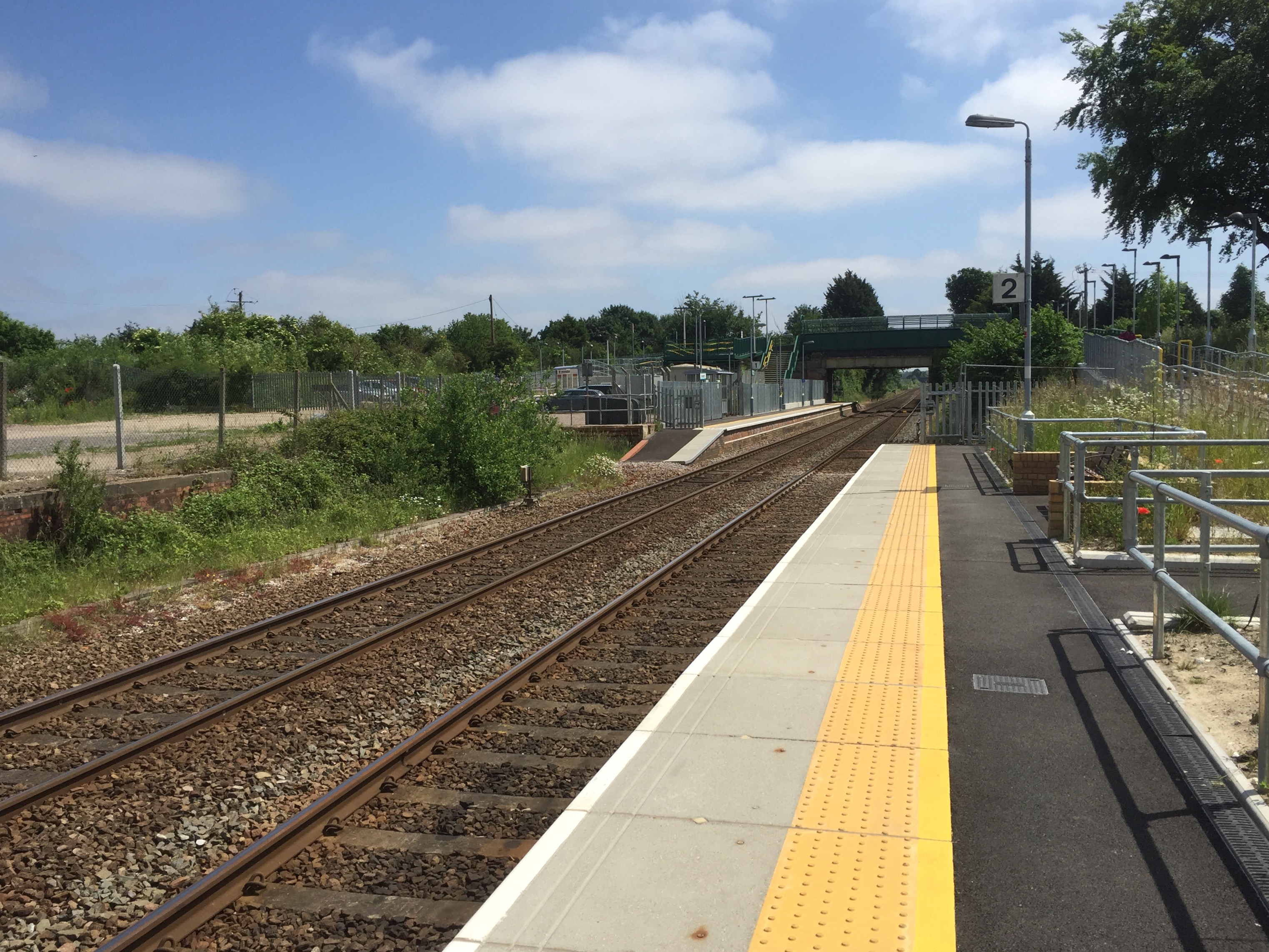
Kennett railway station

Kennett is a railway station serving the villages of Kennett in Cambridgeshire and Kentford in Suffolk, England. It opened in 1854 when the railway was...

Cherry Hill and The Gallops, Barton Mills

Cherry Hill and The Gallops, Barton Mills is a 10.4-hectare (26-acre) biological Site of Special Scientific Interest south of Barton Mills in Suffolk....

Nearby Amenities

Located within 500m of 52.299152,0.49717846
Bus Stop
Carnation Way
Naptan AtcoCode: 390020150
Naptan Bearing: N
Naptan CommonName: Carnation Way
Naptan Indicator: N-bound
Naptan Landmark: Carnation Way
Naptan NaptanCode: sufajgjp
Naptan Street: Warren Road
Naptan Verified: no
Source: naptan_import
Lat/Long: 52.3005527/0.4943348
Bus Stop
Carnation Way
Naptan AtcoCode: 390020151
Naptan Bearing: S
Naptan BusStopType: CUS
Naptan CommonName: Carnation Way
Naptan Indicator: S-bound
Naptan Landmark: Carnation Way
Naptan NaptanCode: sufajgjt
Naptan Street: Warren Road
Naptan Verified: no
Source: naptan_import
Lat/Long: 52.3004749/0.4946091
Bus Stop
Foxglove Close
Bus: yes
Naptan AtcoCode: 390020443
Naptan Bearing: E
Naptan BusStopType: CUS
Naptan CommonName: Foxglove Close
Naptan Indicator: opp
Naptan Landmark: Foxglove Close
Naptan NaptanCode: sufjtgad
Naptan Street: Carnation Way
Naptan Verified: no
Public Transport: platform
Source: naptan_import
Lat/Long: 52.3006747/0.4940923
Bus Stop
Foxglove Close
Bus: yes
Naptan AtcoCode: 390020444
Naptan Bearing: W
Naptan BusStopType: CUS
Naptan CommonName: Foxglove Close
Naptan Indicator: adj
Naptan Landmark: Foxglove Close
Naptan NaptanCode: sufjtgaj
Naptan Street: Carnation Way
Naptan Verified: no
Public Transport: platform
Source: naptan_import
Lat/Long: 52.300504/0.4940827
Warren Road
Lat/Long: 52.3004494/0.4947666
Waste Basket
Waste: dog_excrement
Lat/Long: 52.3019292/0.4982644
Generator Method: photovoltaic
Generator Output Electricity: yes
Generator Source: solar
Generator Type: solar_photovoltaic_panel
Location: roof
Power: generator
Lat/Long: 52.3010737/0.4922497
Generator Method: photovoltaic
Generator Output Electricity: yes
Generator Source: solar
Generator Type: solar_photovoltaic_panel
Location: roof
Power: generator
Lat/Long: 52.3002028/0.493497
Bus Stop
Ash Court
Bus: yes
Naptan AtcoCode: 390020463
Naptan Bearing: S
Naptan Indicator: adj
Naptan NaptanCode: sufjtjwm
Public Transport: platform
Lat/Long: 52.3033022/0.4972664
Bus Stop
Larch Way
Bus: yes
Naptan AtcoCode: 390020465
Naptan Bearing: S
Naptan Indicator: adj
Naptan NaptanCode: sufjtjwt
Public Transport: platform
Lat/Long: 52.3007244/0.4977307
The data included in this document is from www.openstreetmap.org. The data is made available under ODbL.

Have you been to Beech Belt?

Leave your review of Beech Belt below (or comments, questions and feedback).