Long Rough
Wood, Forest in Norfolk King's Lynn and West Norfolk
England
Long Rough
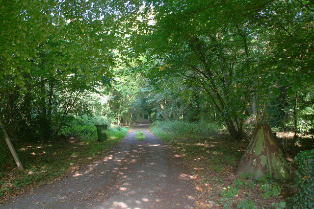
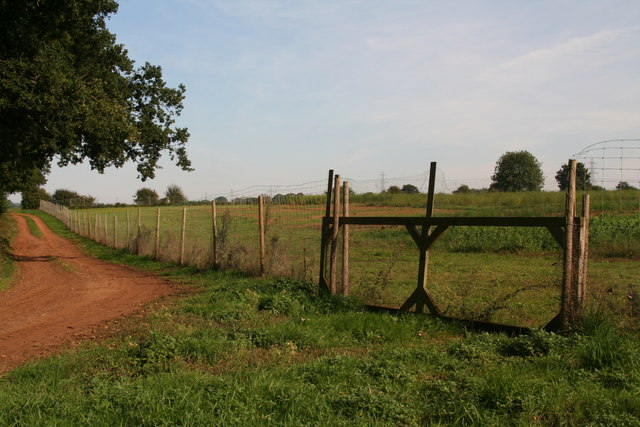
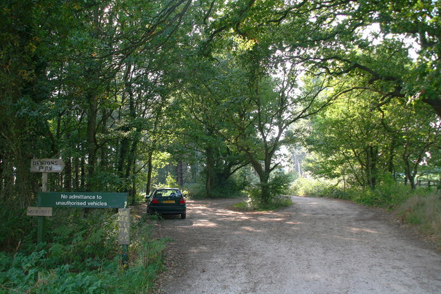
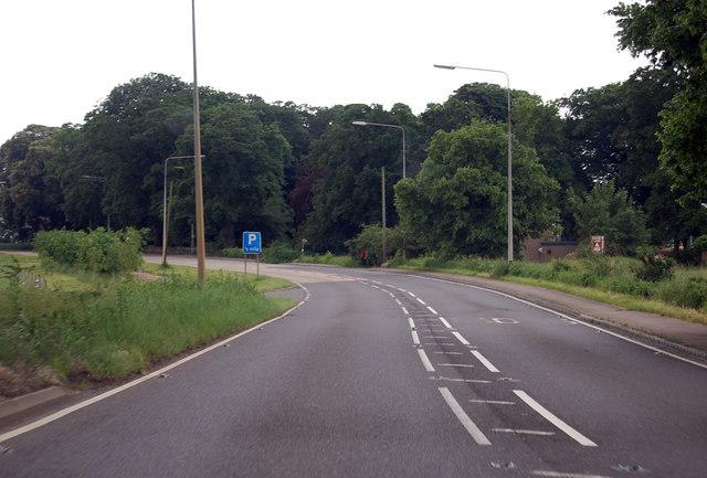
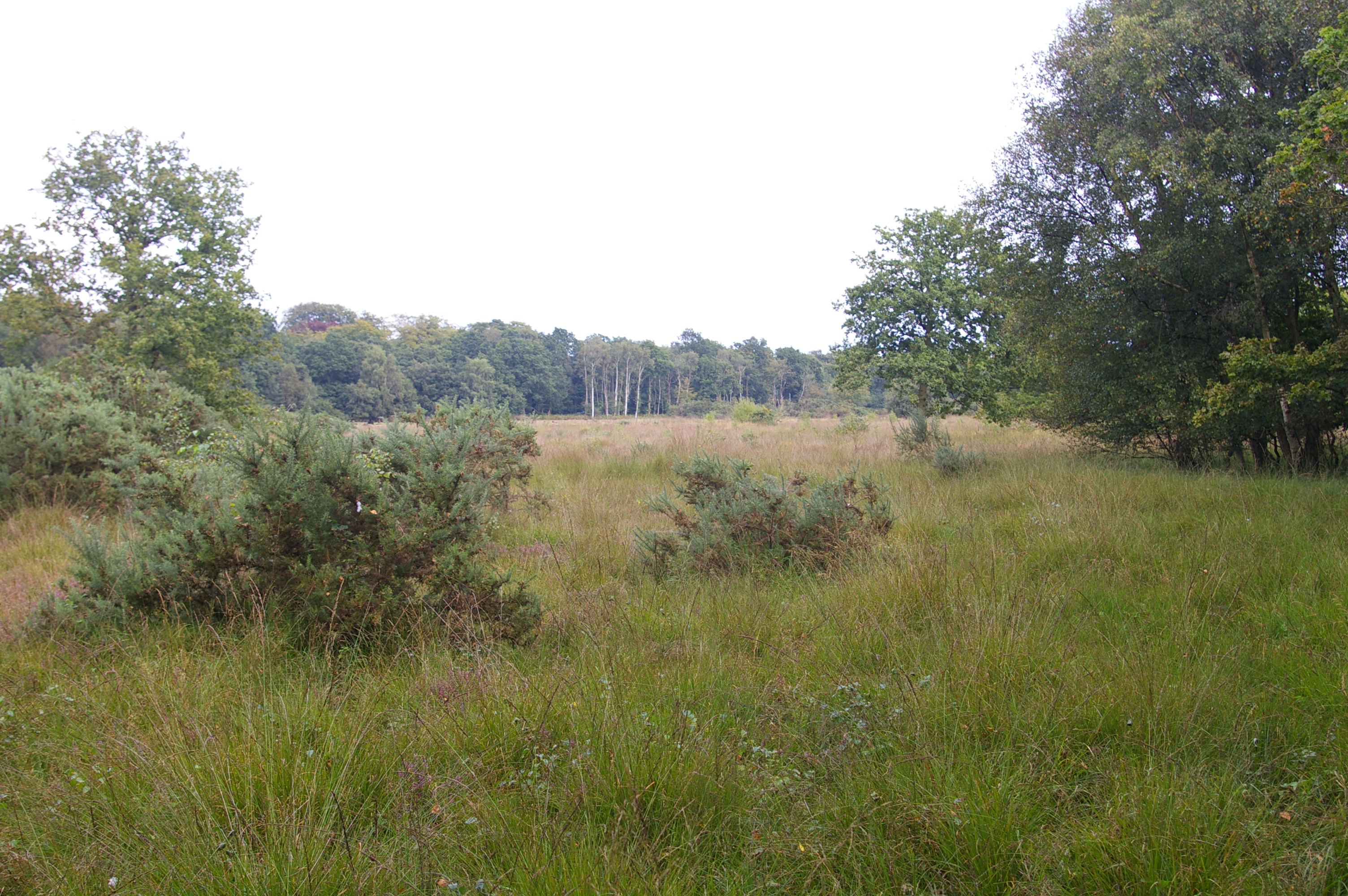
Long Rough is a picturesque woodland area located in the county of Norfolk, England. Situated near the market town of Wood, this forested region covers an expansive area of approximately 500 acres. Long Rough is characterized by its dense, towering trees, diverse flora, and tranquil atmosphere, making it a haven for nature enthusiasts and those seeking a peaceful retreat.
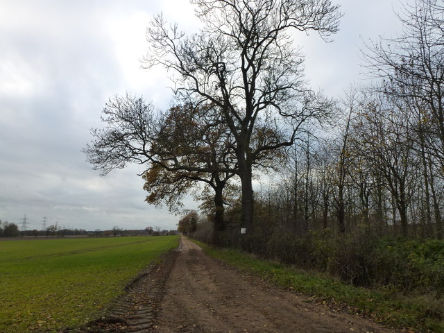
The woodland of Long Rough is mainly composed of broadleaf trees, including oak, beech, and ash, which create a vibrant canopy and provide a habitat for a variety of wildlife. The forest floor is adorned with an array of wildflowers, ferns, and mosses, adding to the natural beauty of the area. Walking through Long Rough, visitors can expect to encounter an abundance of native birds, small mammals, and even the occasional deer.
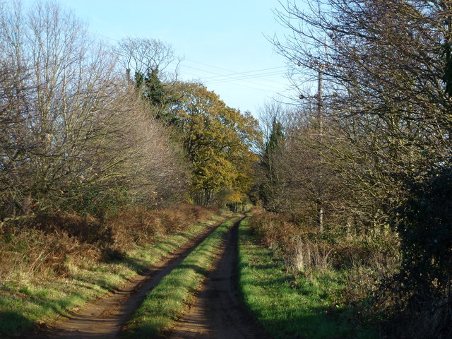
This enchanting woodland offers numerous well-maintained trails that wind through its verdant landscape, allowing visitors to explore its hidden corners and discover its hidden treasures. These trails are suitable for both leisurely strolls and more energetic hikes, catering to individuals of all ages and abilities.
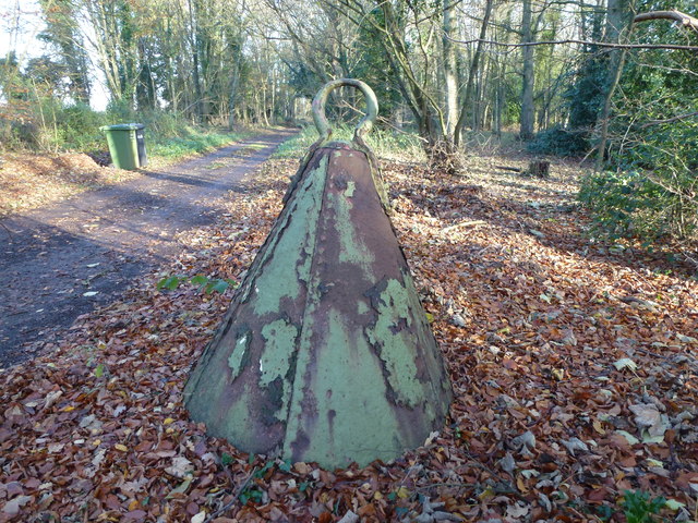
Long Rough is also renowned for its rich history, with ancient remains and archaeological sites scattered throughout the forest. These remnants serve as a testament to the area's past and provide insight into the lives of its former inhabitants.
Overall, Long Rough in Norfolk is a captivating woodland that offers a peaceful escape from the bustle of everyday life. With its diverse flora, abundant wildlife, and fascinating history, it is a must-visit destination for nature lovers and history enthusiasts alike.
If you have any feedback on the listing, please let us know in the comments section below.
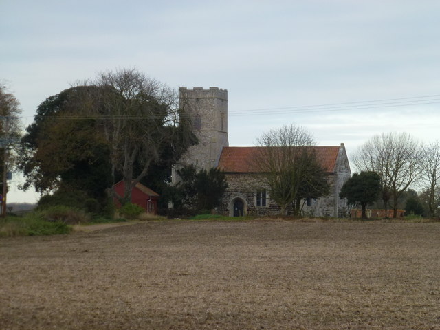
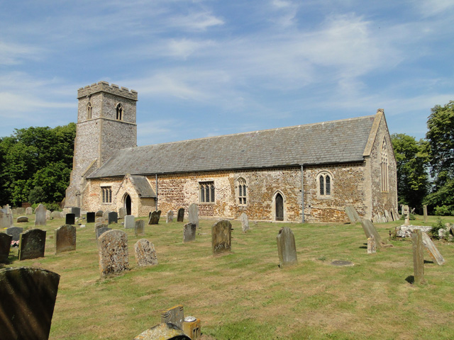
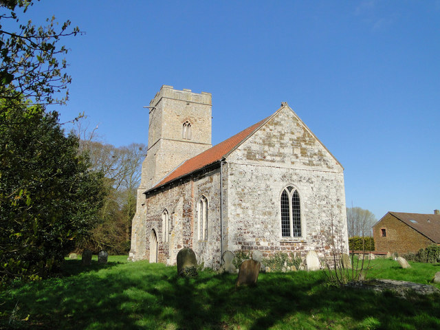
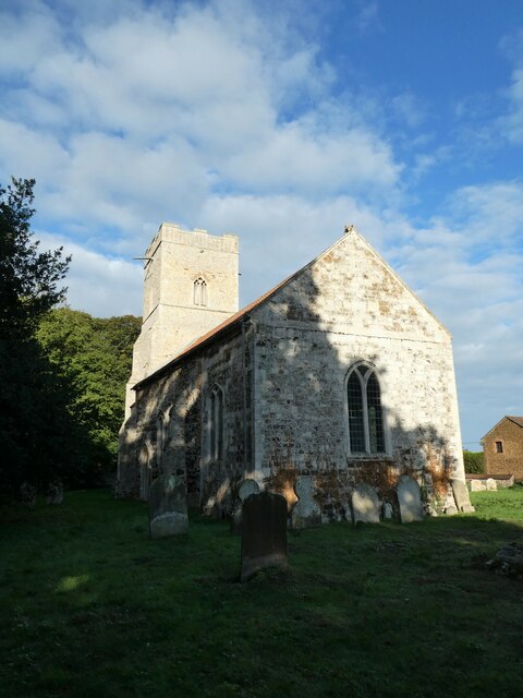
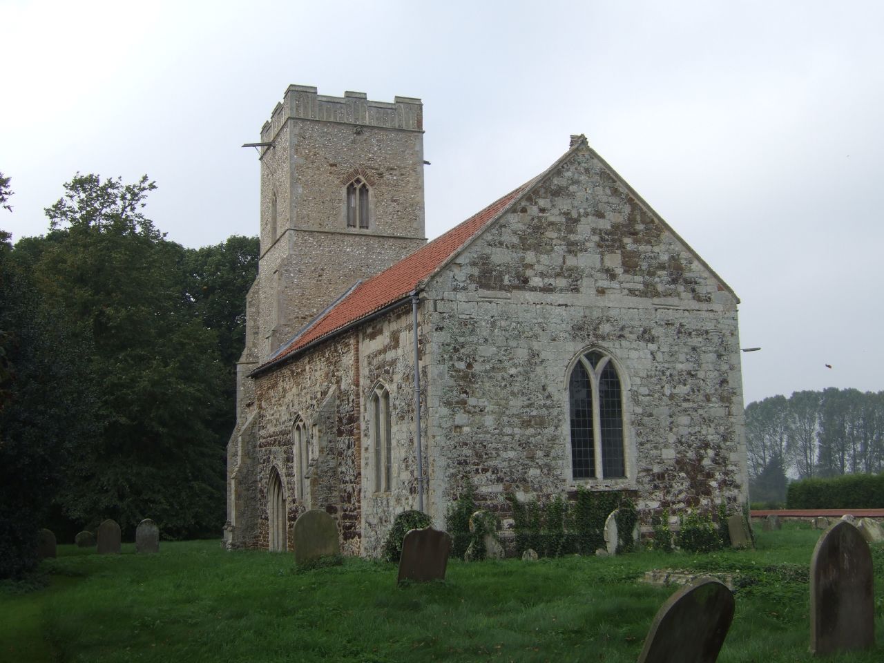
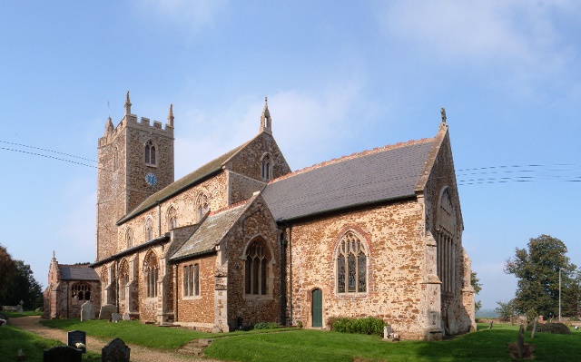
Long Rough Images
Images are sourced within 2km of 52.693279/0.52299253 or Grid Reference TF7013. Thanks to Geograph Open Source API. All images are credited.


Long Rough is located at Grid Ref: TF7013 (Lat: 52.693279, Lng: 0.52299253)
Administrative County: Norfolk
District: King's Lynn and West Norfolk
Police Authority: Norfolk
What 3 Words
///flaked.singers.ironic. Near Narborough, Norfolk
Nearby Locations
Related Wikis
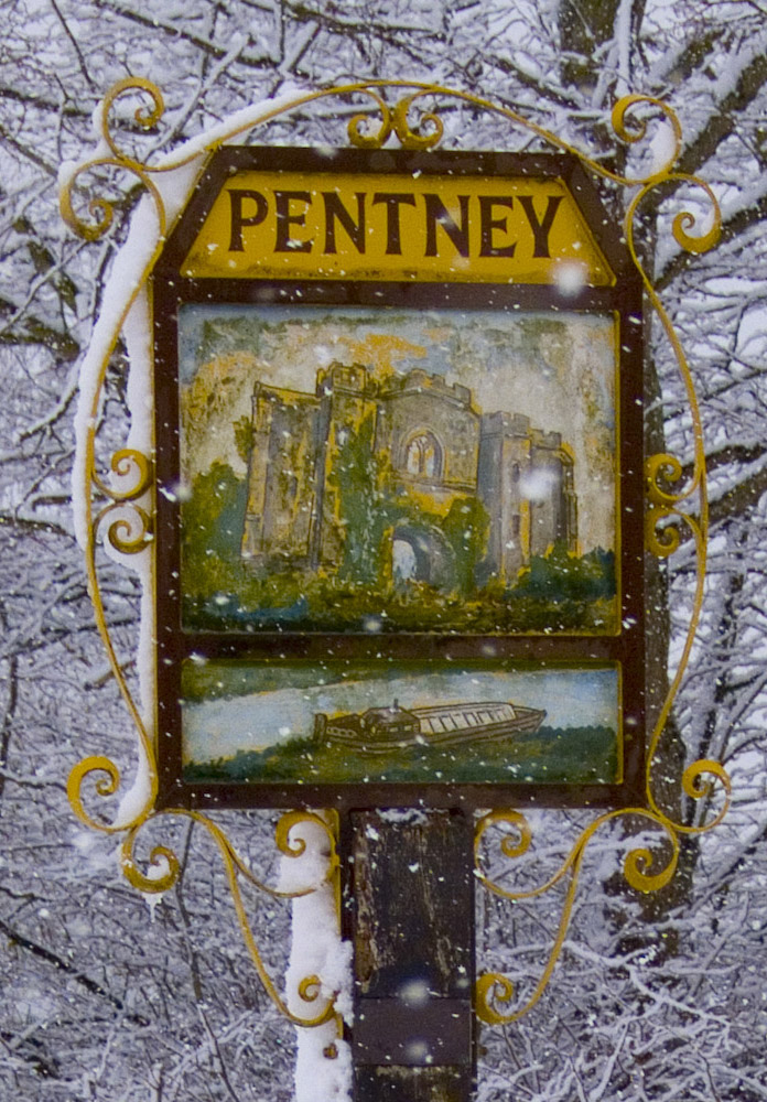
Pentney
Pentney is a village and civil parish in the English county of Norfolk, located about 8 miles (13 km) south east of King's Lynn placing it about halfway...
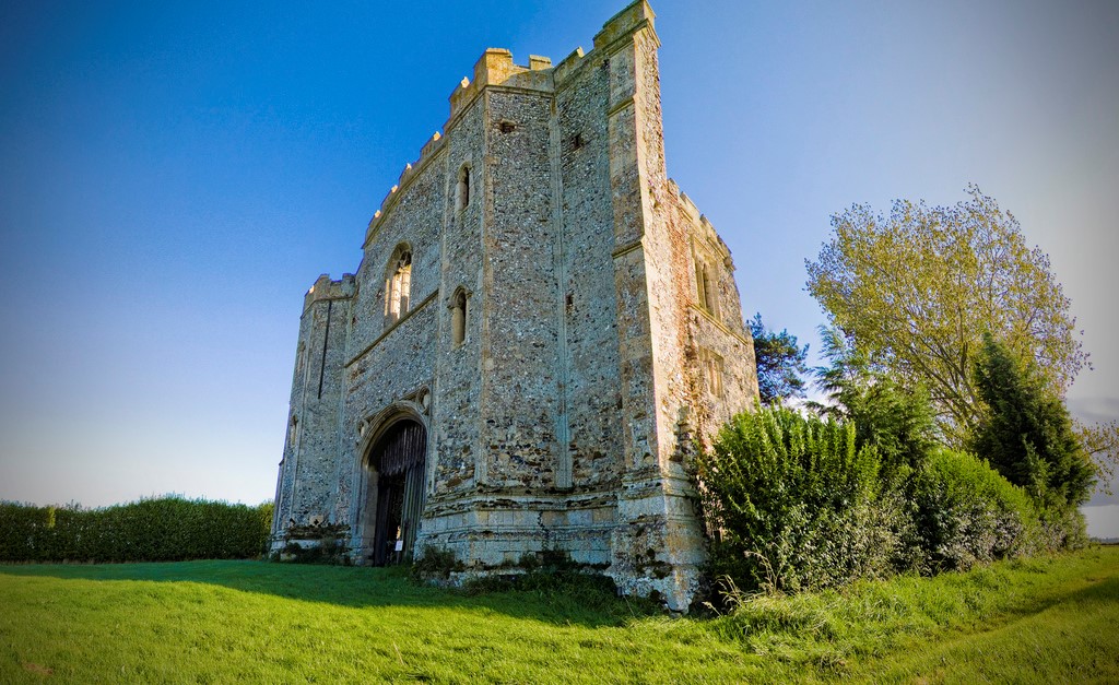
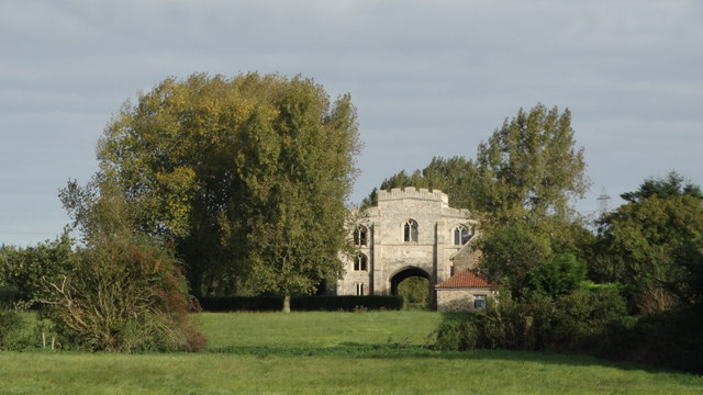
Pentney Priory
Pentney Priory was an Augustinian priory at Pentney in the district of King's Lynn and West Norfolk, Norfolk, England. The ruins of the priory, mostly...
West Bilney
West Bilney is a village and former civil parish on the A47 road, 32 miles (51 km) west of Norwich, now in the parish of East Winch, in the King's Lynn...
East Winch Common
East Winch Common is a 26.1-hectare (64-acre) biological Site of Special Scientific Interest south-east of King's Lynn in Norfolk. It is common land and...

Bilney railway station
Bilney railway station was located on the line between East Winch and Narborough and Pentney. It served the village of West Bilney, and closed in 1866...

Narborough Bone Mill
Narborough Bone Mill was a watermill that operated on the River Nar in the west of the English county of Norfolk. The watermill was 1 mile (1.6 km) downstream...
East Winch
East Winch is a village and civil parish in the English county of Norfolk. The village is located 4.9 miles (7.9 km) south-east of King's Lynn and 34 miles...

Blackborough Priory
Blackborough Priory was a Benedictine monastic house in Norfolk, England, about 5 miles or 8 km south east of King's Lynn. The Ordnance Survey map shows...
Nearby Amenities
Located within 500m of 52.693279,0.52299253Have you been to Long Rough?
Leave your review of Long Rough below (or comments, questions and feedback).